
Quick report
- Cracking
- specific
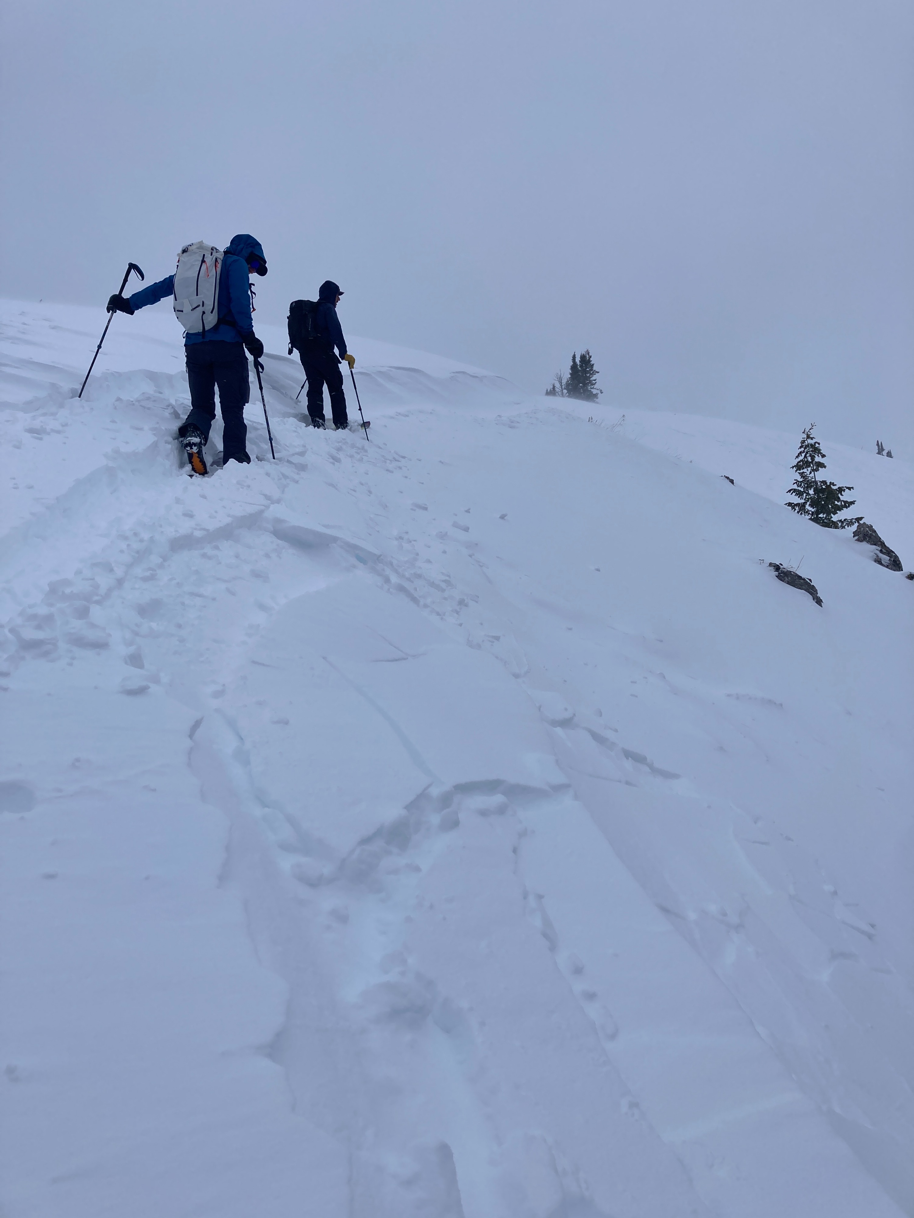
About 2-3 inches of medium density snow had accumulated in sheltered locations south of Teton Pass by 4pm. Conditions were windy on exposed ridgetops at 9,000’. Loading was observed in leeward terrain just below ridges creating pillows and textured surfaces. We found a soft slab 3-6” thick that was reactive to the weight of a skier on a small test slope.
Expect newly formed wind slabs to be deeper and more widespread tomorrow if we receive the additional snow and wind that is forecasted tonight. Additionally, dangerous avalanche conditions may develop in steep, sheltered terrain if snow totals end up being in the 15-20” range.
Cracking was isolated to wind affected terrain.Weather
- Air Temp
- Upper 20's
- Cloud Cover
- overcast
- Wind Loading
- moderate
- Recent Snowfall
- 2-3" (5-7 cm)
- Snow Avail For Transport
- small smounts
Snowpack
Shallow and mostly faceted where it exists. Depths range from 20-30" (50-80cm) on sheltered slopes with less or none on some solar slopes. Sage brush and rocks are visible on the south facing terrain of Mt. Glory up to 9,000’. Despite widespread weak snow, we are lacking a uniform or connected snowpack in the mid elevations. Avalanche activity over the next few days will be most likely in steep terrain that held significant snow prior to this storm.