
Quick report
The objective of the tour was to assess the affects of wind on other parts of the mountain and determin the extent of wind loading and sensitivity of wind slabs. We headed to Allison Clay to avoid the torrential winds battering the mountain near and above tree line.
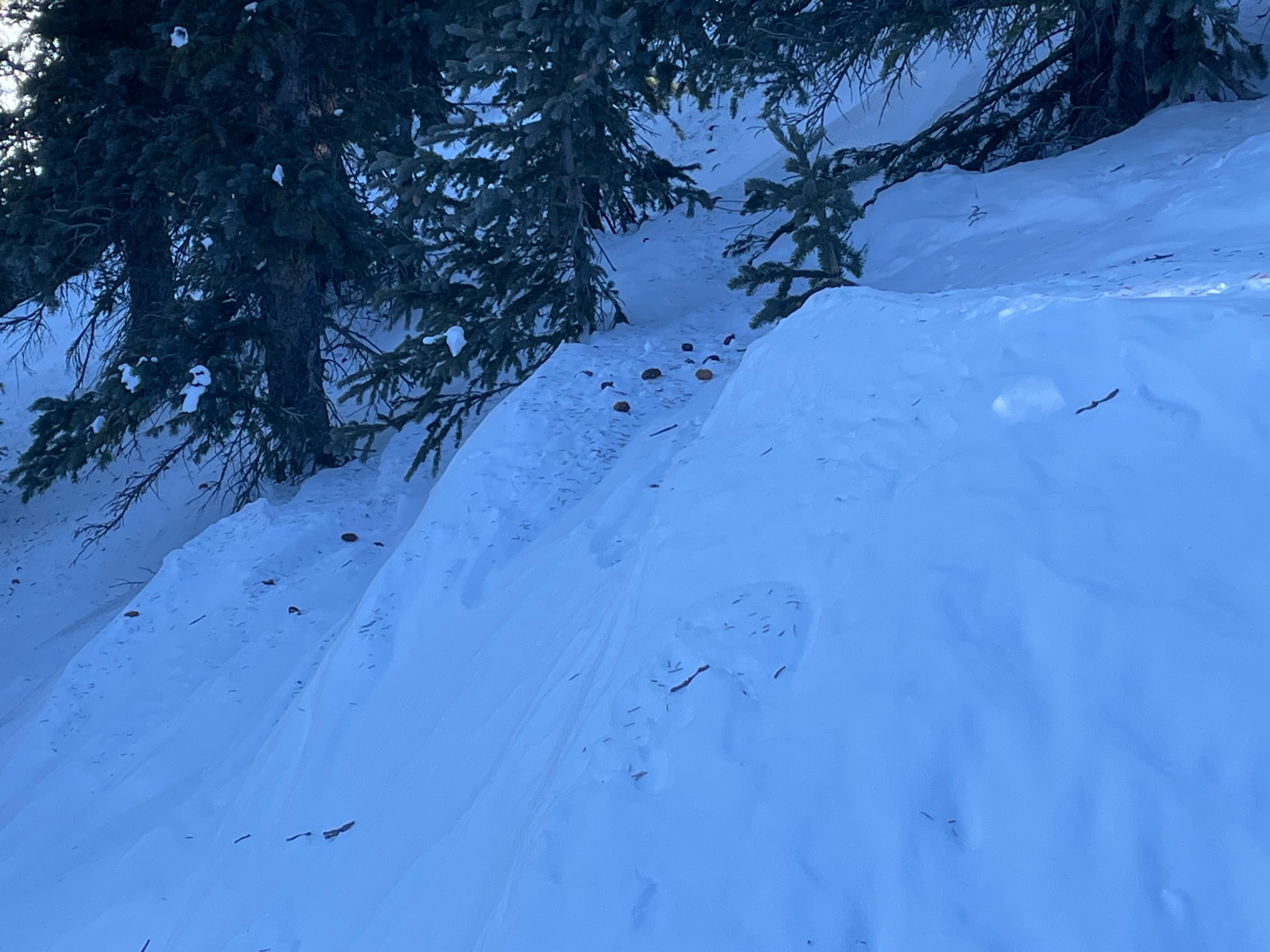
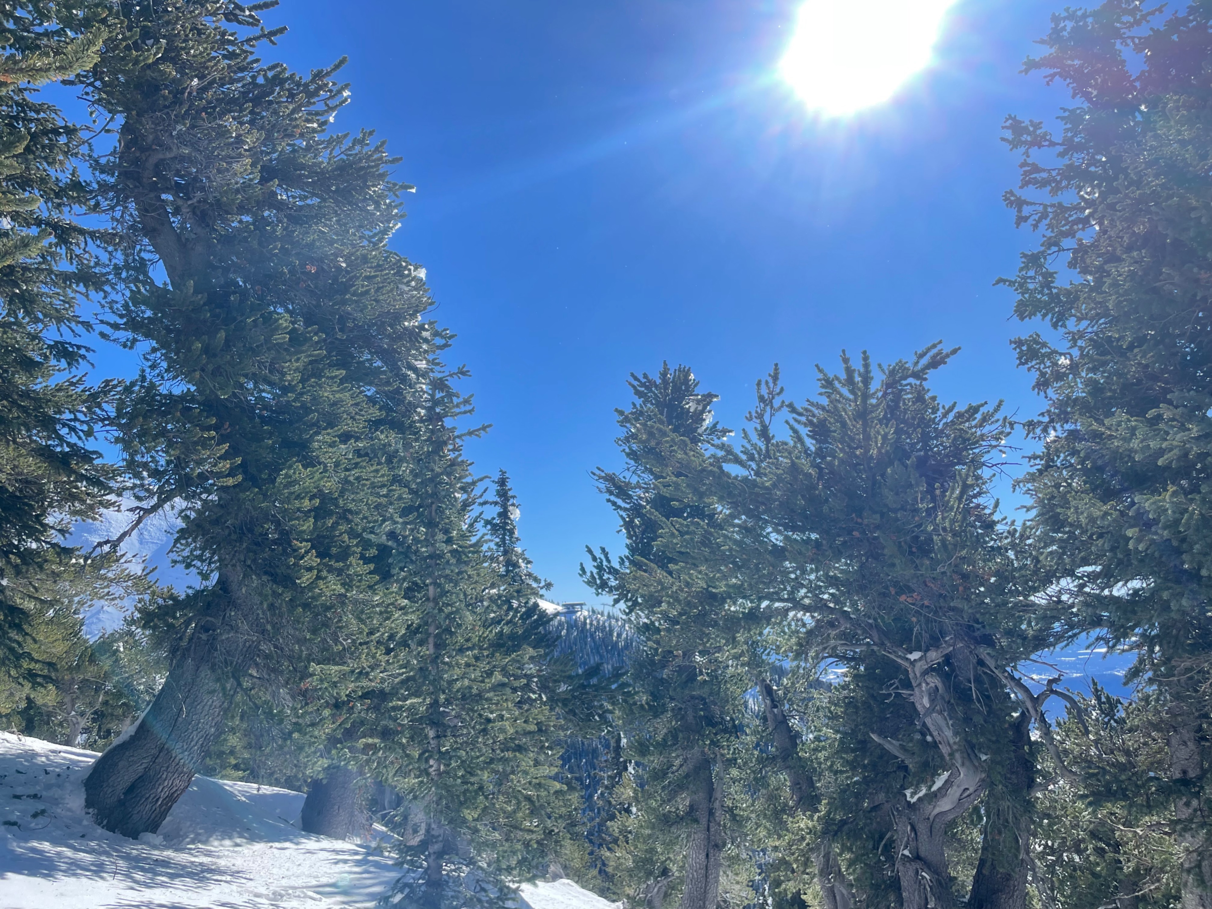
The surface of much of the mountain below tree line is now littered with debris blown from trees. A 2-4 cm wind crust has developed in larger open areas below tree line, and the new snow has settled and is slightly denser than on Friday. On south facing slopes the snow is beginning to soften and even melt, much of the tree ice on south facing slopes is starting to fall. Snow depths at 11,000 ft., on the shoulder of Allison Clay measure 60-70 cms in depth.
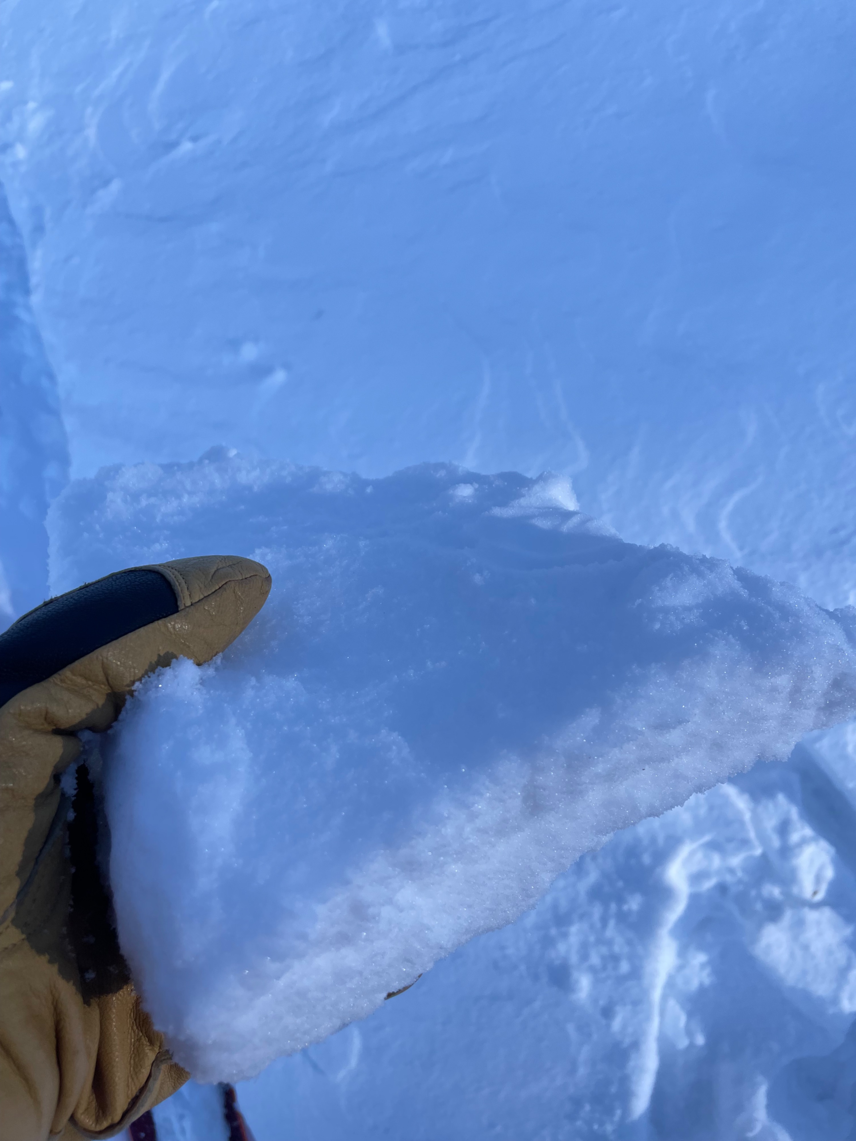
Winds over the past three days have built moderate to large wind slabs on the leeward side of crossloaded gullies. These slabs however, have settled and are no longer reactive to the weight of a skier or rider. No cracking, shearing, or fractururing was achieved on test slopes. I would suspect that some of these wind slabs were sensitive during or just after the storm, but have now settled. Many of these slabs are distinctly hollow and some of them now have wind hardened surfaces (wind board), or wind crusts. Some cracking was found on mounded snow with a 3-5 cm wind hardened surface.
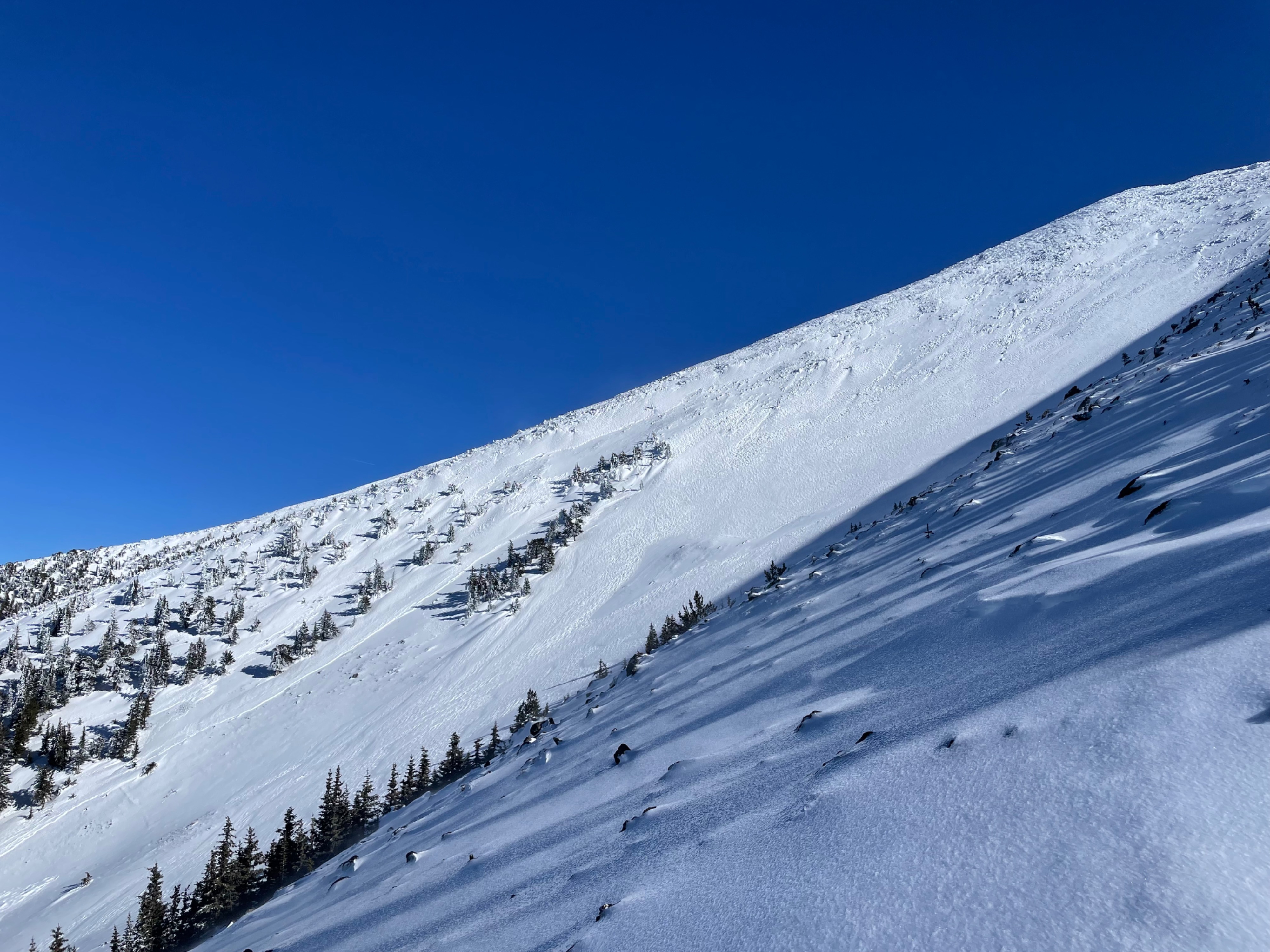
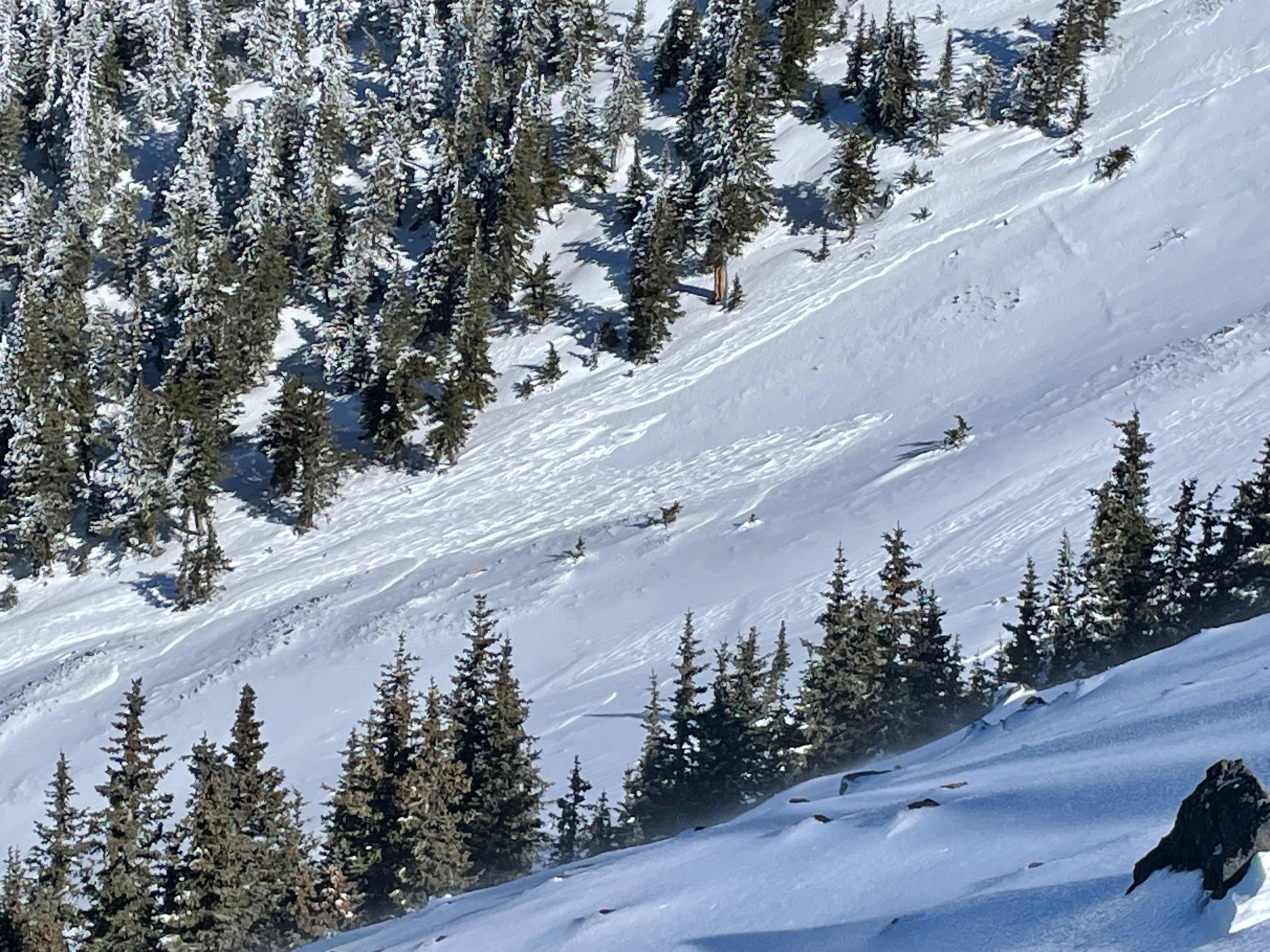
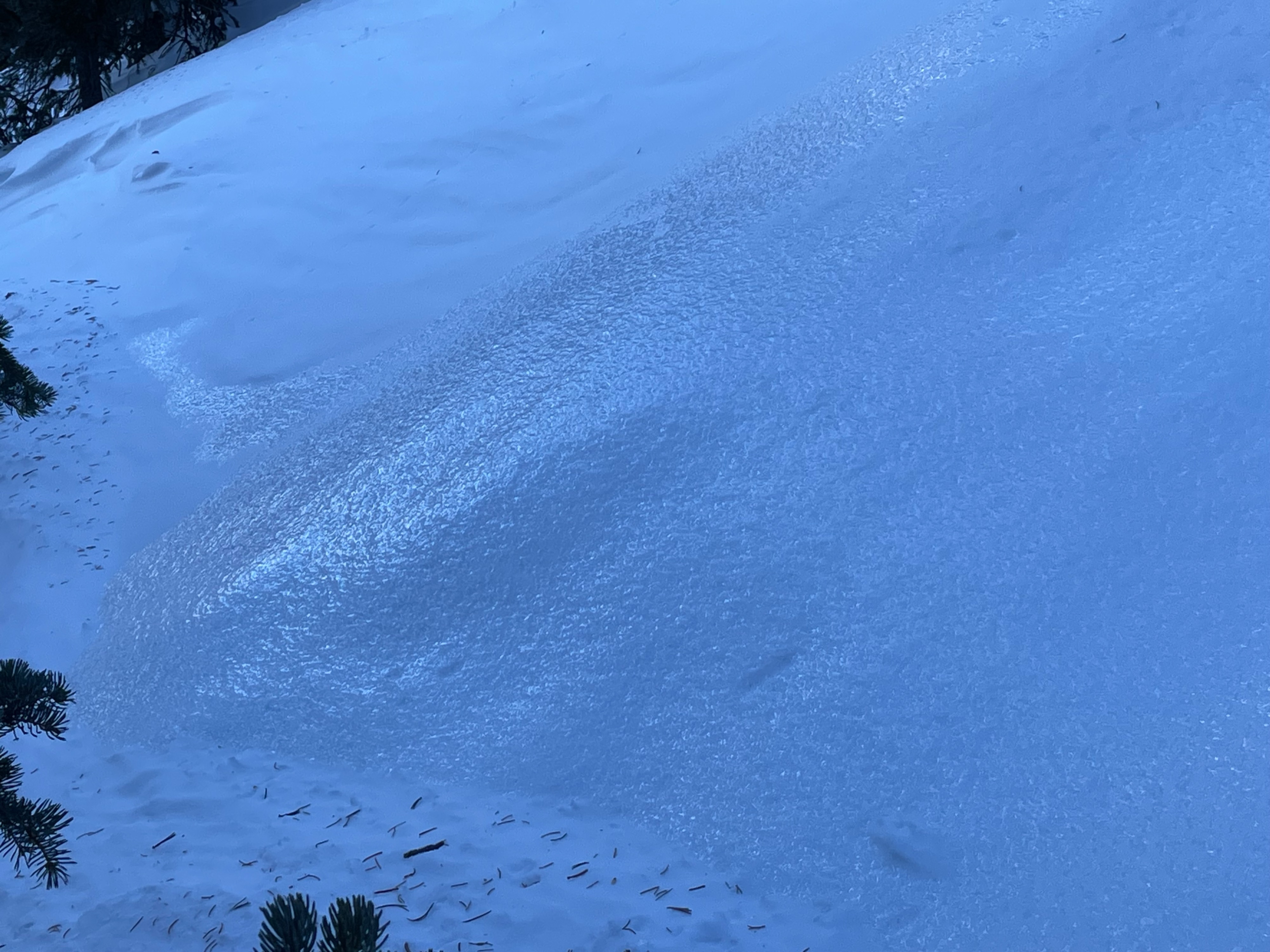
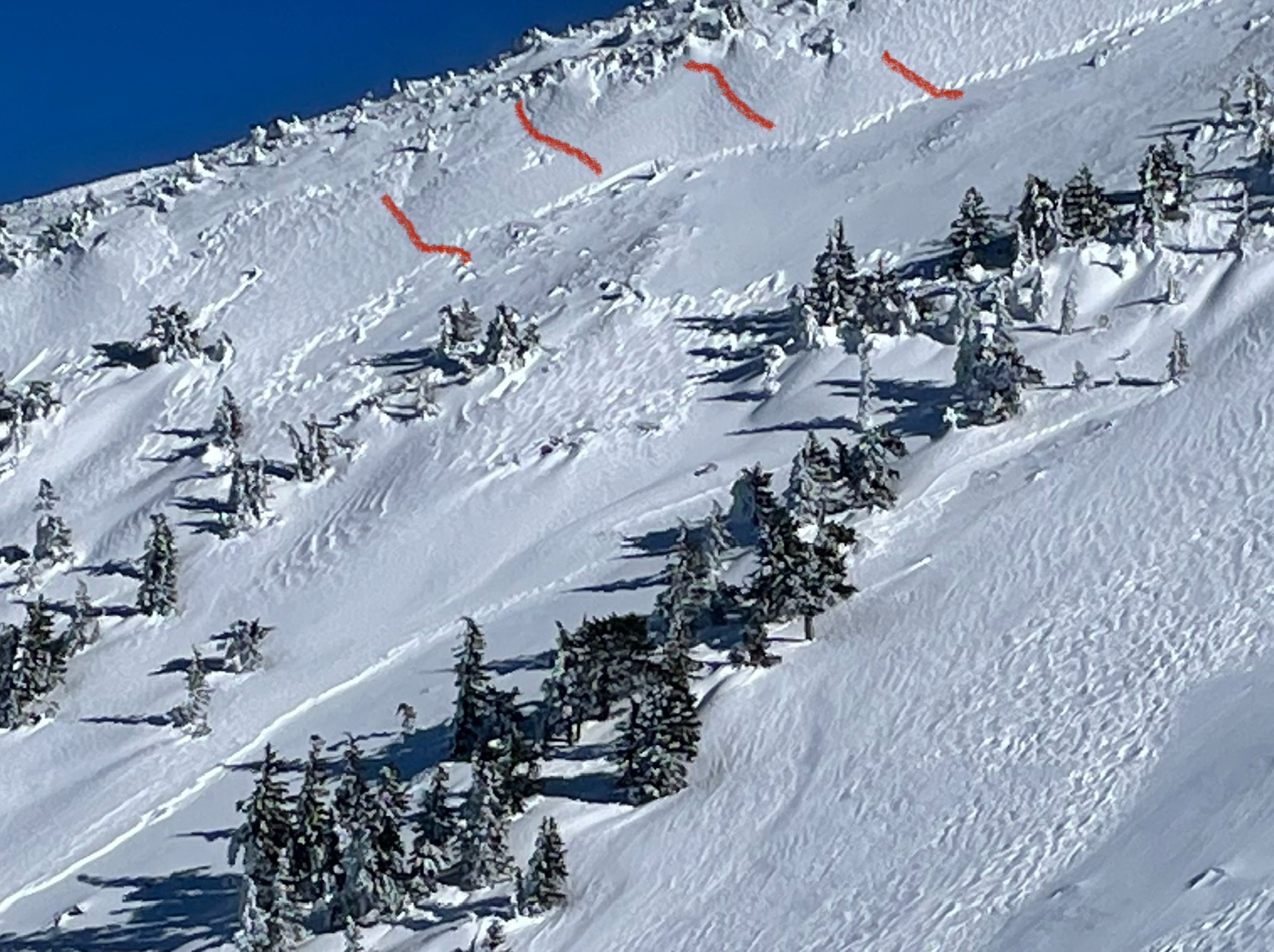
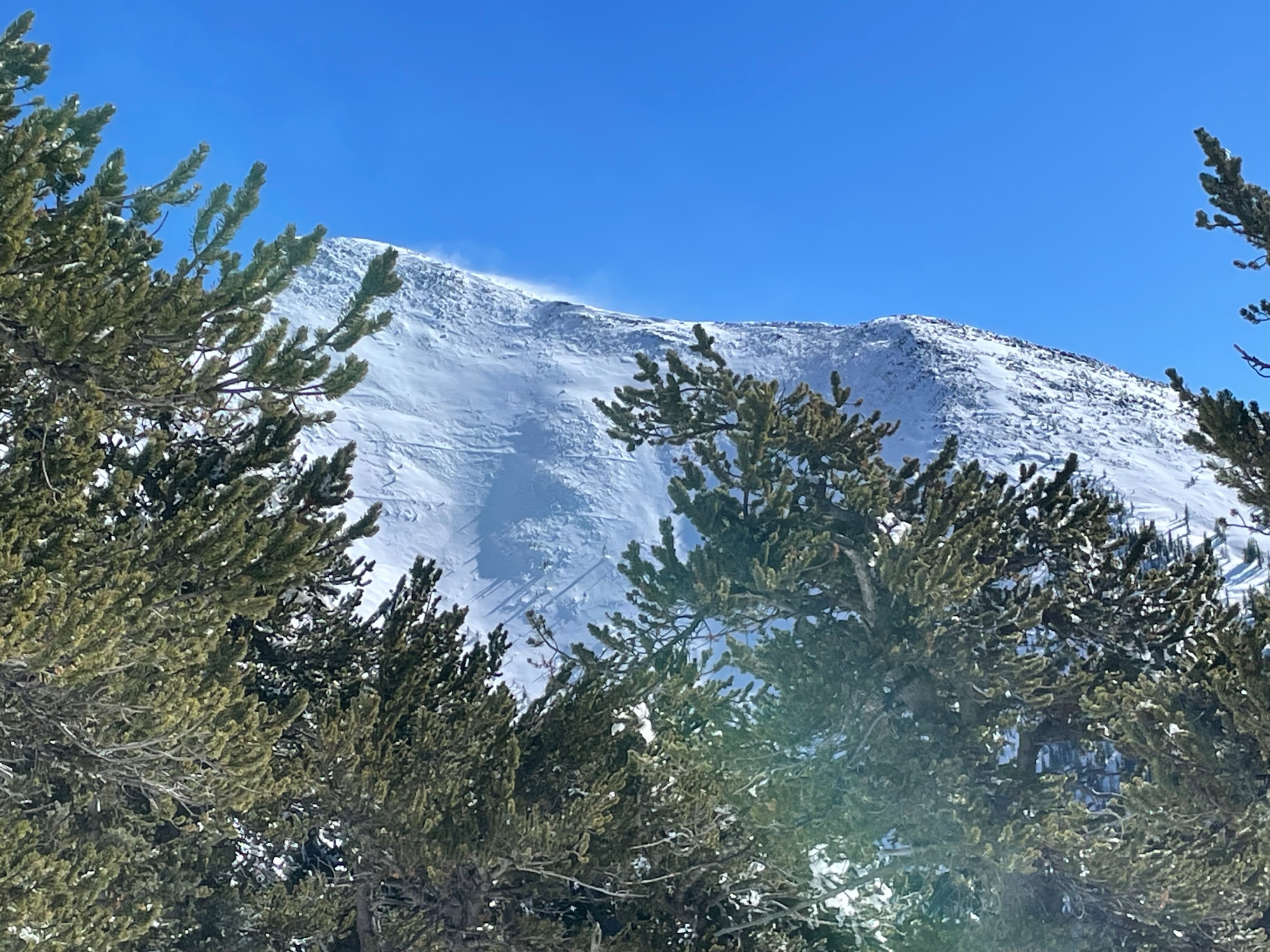
The impacts of yesterday's high wind event cannot be understated. Many above treeline slopes have bazaar erotional features (see photos). Allison and Clay is highly wind erodoed and most of the new snow is gone, leaving the ice layer of the New Year's rain event. This ice was clear, highly wind textured, and just slightly less dense than average high elevation blue ice. Travel on this surface has the potential to be highly hazardous. Winds at near treeline on the ridge above Allison were appproximately 40 mph. Essentially, Allison Clay looked like a disaster area. We skied the trees adjacent to the path and had half-way descent powder turns.
There may have been a wind slab release in Allison Clay with associated avalanche debris in the choke of the path. Due to conditions we did not investigate these features up close. It is possible, however, that the potential crown and debris is simply more of the bazaar erosional features from the 70 mph winds of Thursday.
In the Temptations area the snow is settling, compacting and melting. Good turns were still available in this zone, but it's unlikely they will last much longer. Egress will become more difficult and hazardous as rocks surface along the route.
Overall avalanche hazard is decreasing and is trending to low in most locations. The exception may be the loaded southside paths of Agassiz Peak: Watson, Snake Eyes, and Monte Vista.
Weather
- Air Temp
- 24
- Cloud Cover
- clear
- Wind Loading
- moderate
- Recent Snowfall
- 30 cms
- Snow Avail For Transport
- small smounts
This was the second post-storm day and while winds were originally forecast to be light to moderate the strong and extreme winds of yesterday continued. Today was slightly less extreme with ridgetop winds in the 40s out of the NNE. Some snow transport was visible throughout the day in upper elevations, while mid-elevations stayed generally protected by trees. Winds at the Allison Clay ridge near treeline were approxinately 40 mph out of the N. Skies were clear and temperatures were in the 20s.