
Weather
- Air Temp
- 41
- Cloud Cover
- scattered
- Wind Loading
- previous
- Snow Avail For Transport
- none
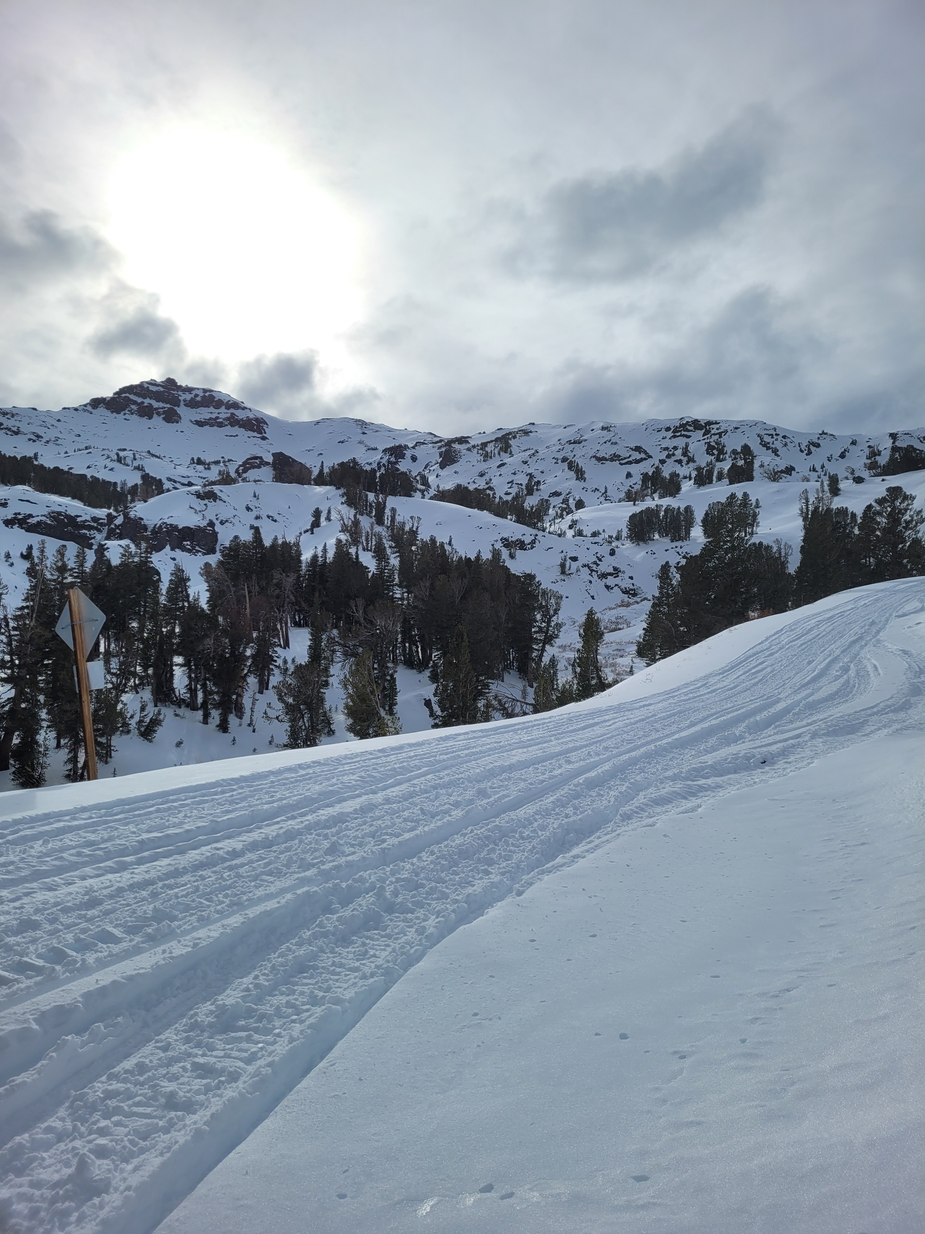
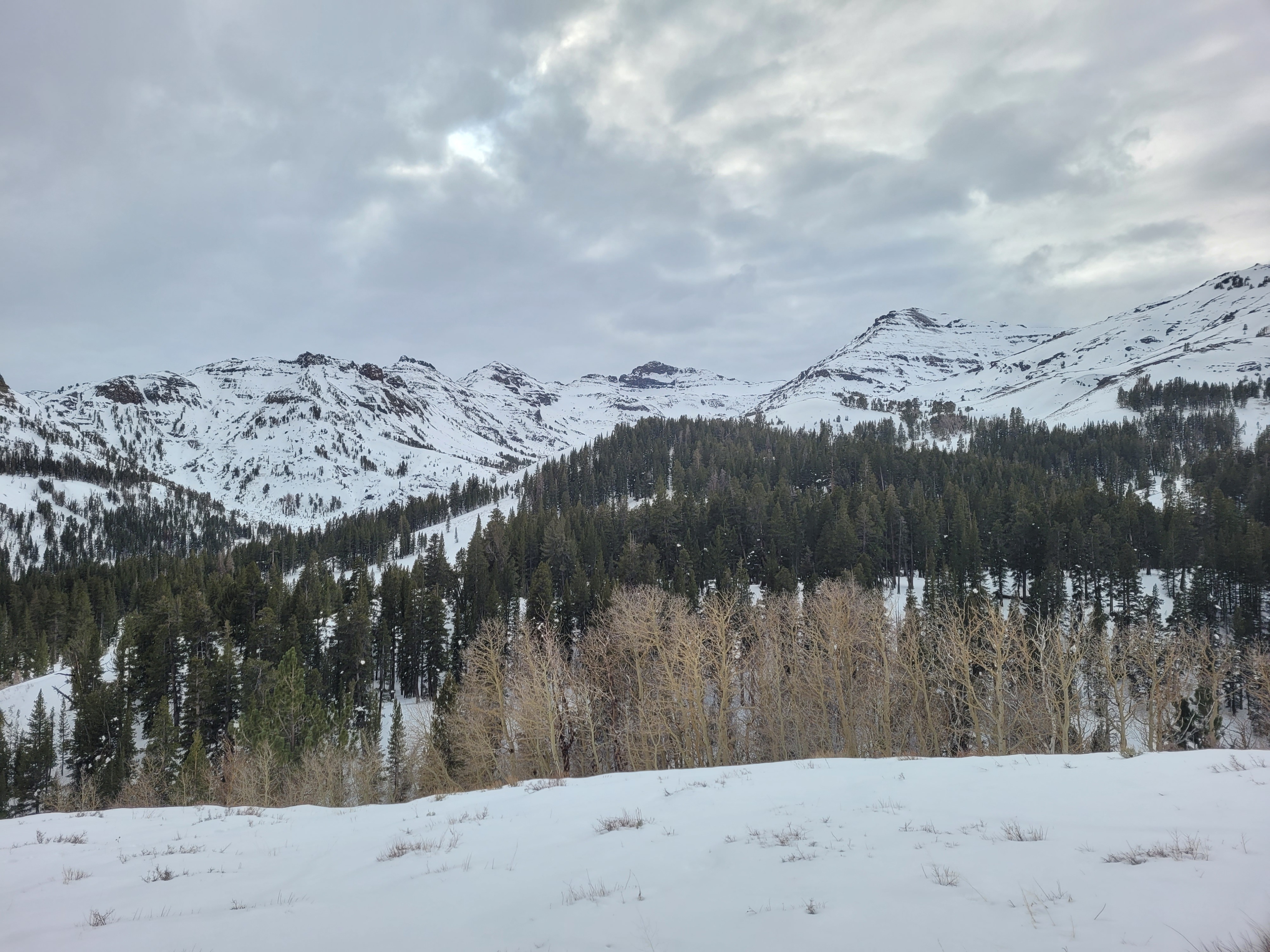
Mostly clear skies uyntil 1300 when it became overcast with a slight SW breeze. tempatures, remained above freezeing during our time in the field
Snowpack
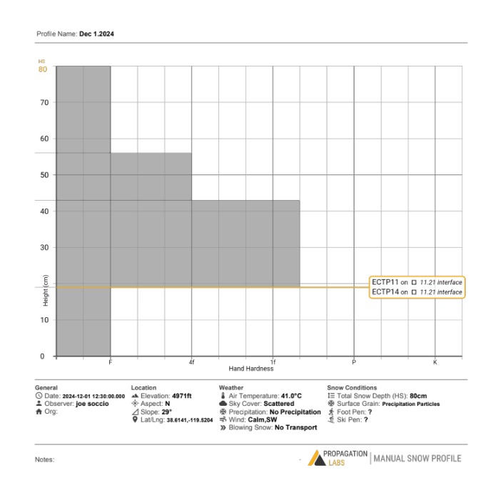
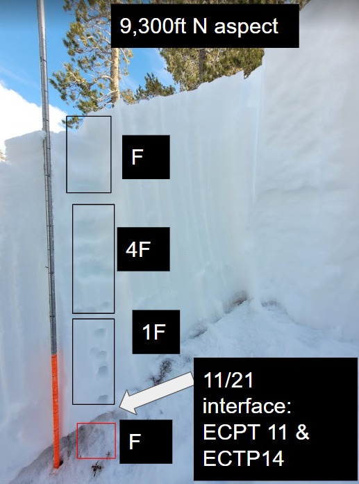
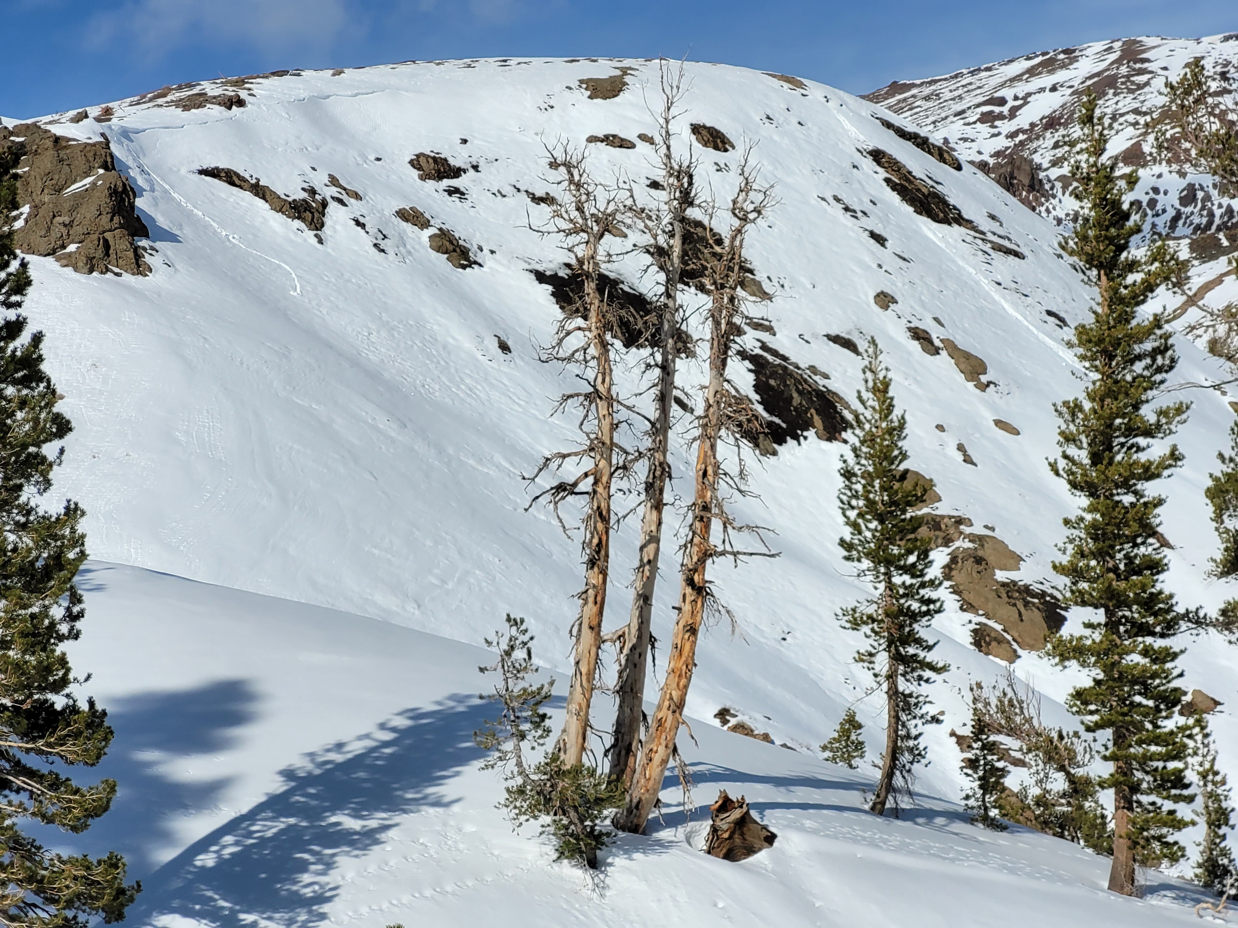
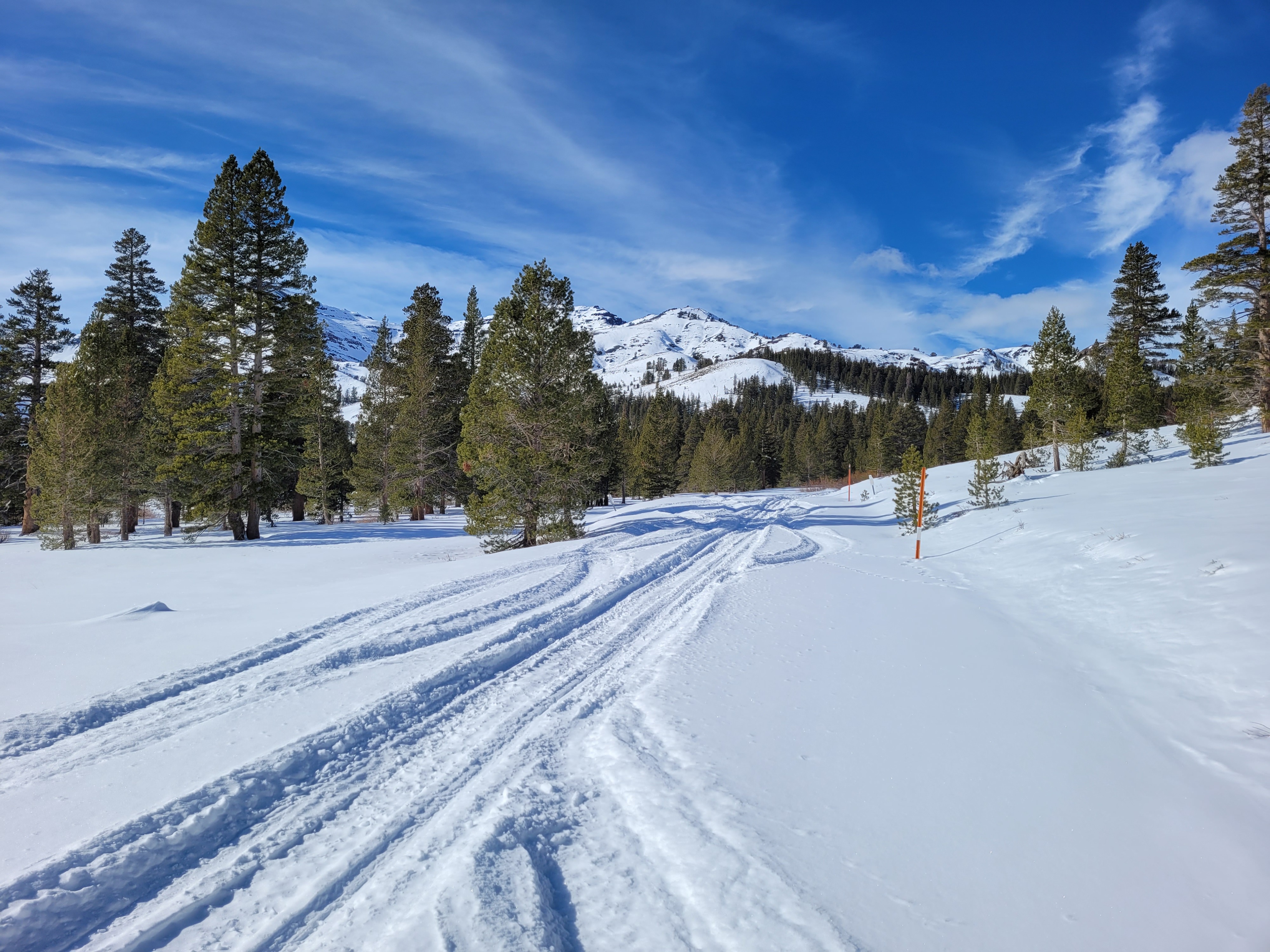
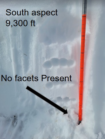
Today was my first day on a sled fore the year, with low tide conditions and the BWRA being still closed for motorized use we drove up hwy 108 to Sonora pass. I dug two pits around 9300 ft. One on a N aspect, the other on a S aspect. I wanted to see how our snowpack was setting up after this last storm and with such low sun angles the different aspects can have a significant contrast due to the sun’s influence.The pit on the North aspect had 80 cm of snow depth and a weak facet layer at the base of the snowpack. I performed 2 ECT tests and got propagation on 11 taps and 14 taps. The failure occurred on the old/ new snow interface from early November snow and the new snow from the 11/21-> 11/26 storm cycle.The pit on the S aspect was no less than 200 yds away from the first pit. It was shallower snow depths at 50 cm. The snow was wet, and no facets were present at the base of the snowpack, due to the early November snow melting off on S aspects.The snowpack structure is poor with a weak layer of snow at the base on Northly aspects. This doesn’t mean this same weak layer doesn’t exist on other sheltered aspects. Make sure you do your own snowpack analysis before heading into avalanche terrain.With cold overnight temperatures and clear nights in the forecast, the ingredients for facets to form is in place. We will continue to get in the field and track the snowpack and how it will set up for the nest round of snow.