
Quick report
We continue in a prolonged phase of drought. With only some modest precipitation (~4" possible) forecasted for Thursday, we will continue in this entrenched phase for a bit longer.
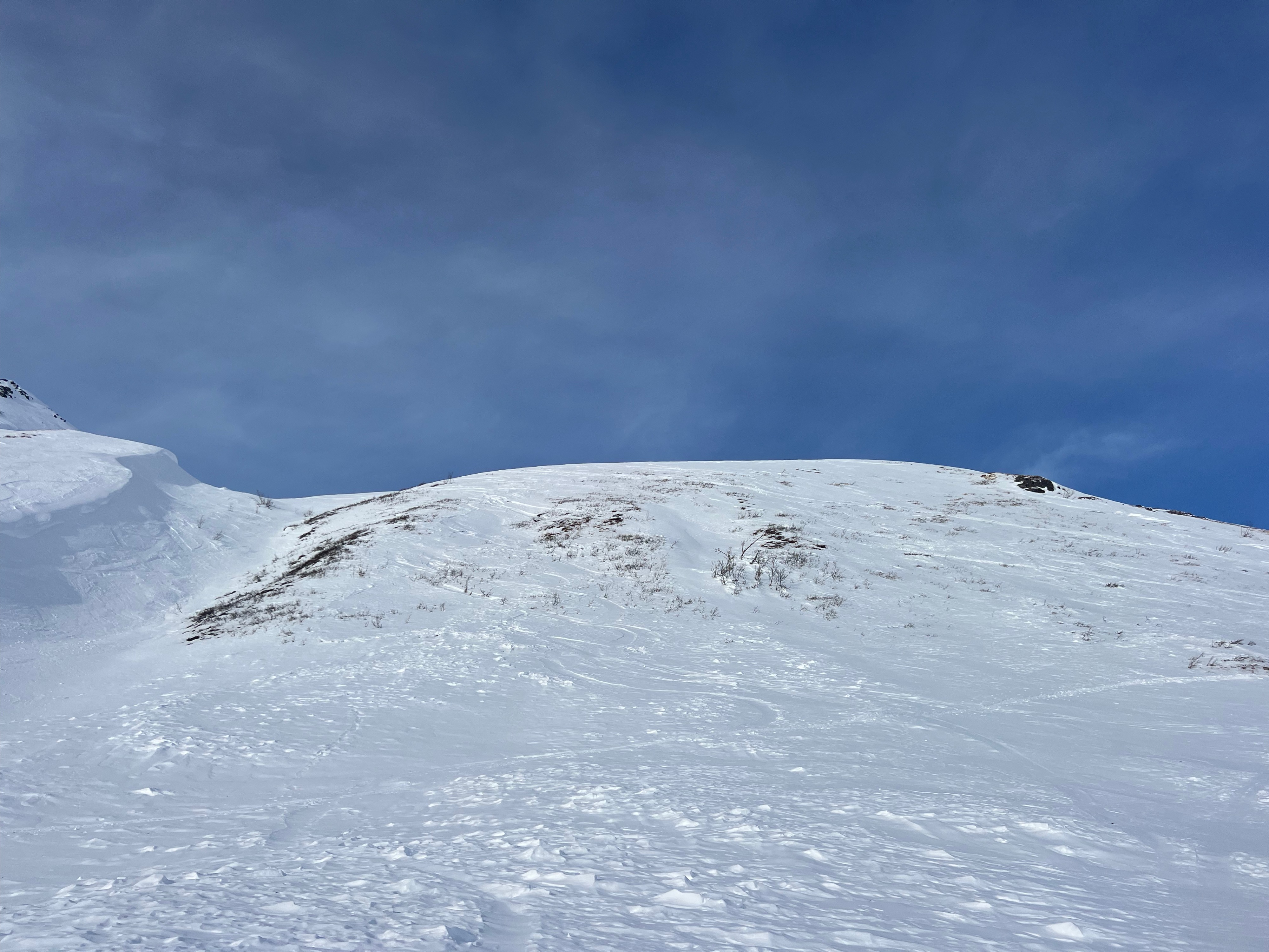
During these chapters, it's important to familiarize yourself with surface conditions, should we ever get a new load. If it were to ever snow or light snow+blow (wind loading), we would likely see activity on some of the new crust/facet layers forming and poor cohesion on slick, firm surfaces.
The long term outlook, while relatively disheartening in terms of precipitation, looks to offer some colder temps. This has potential to bring our increasingly firm snowpack back to "square pow," facets. That would be most welcomed by this forecaster.
Stay patient, be grateful for what we have and remember it's La Niña's fault and not your neighbor's that this winter has been feast or famine.
No signs of instability observed.Weather
- Air Temp
- 33
- Cloud Cover
- scattered
- Wind Loading
- previous
- Recent Snowfall
- 0
- Snow Avail For Transport
- small smounts
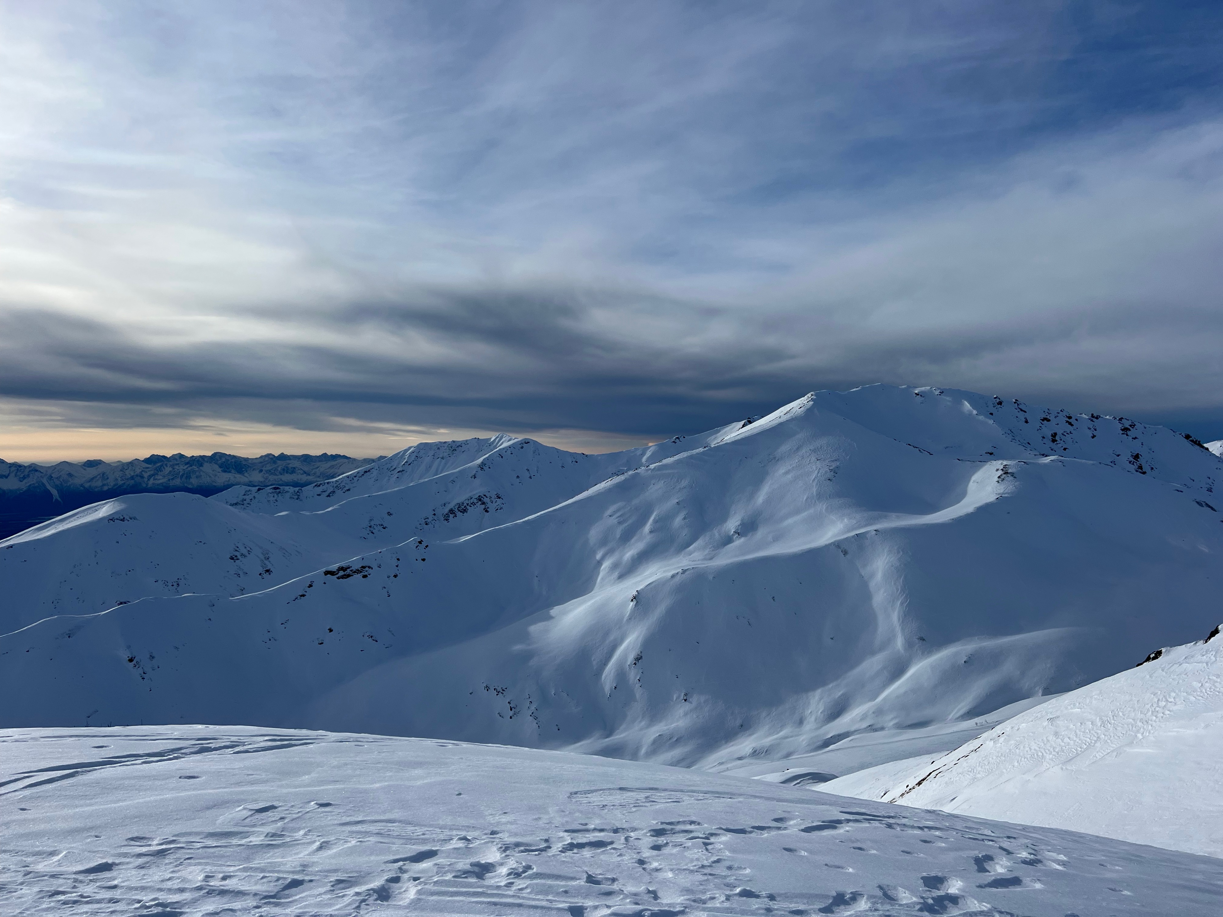
Calm to light SSE breeze, above freezing temps (car temperature reading was 35 in IM lot at 0945). Skies went from broken to scattered, which made for nice visibility.
Snowpack
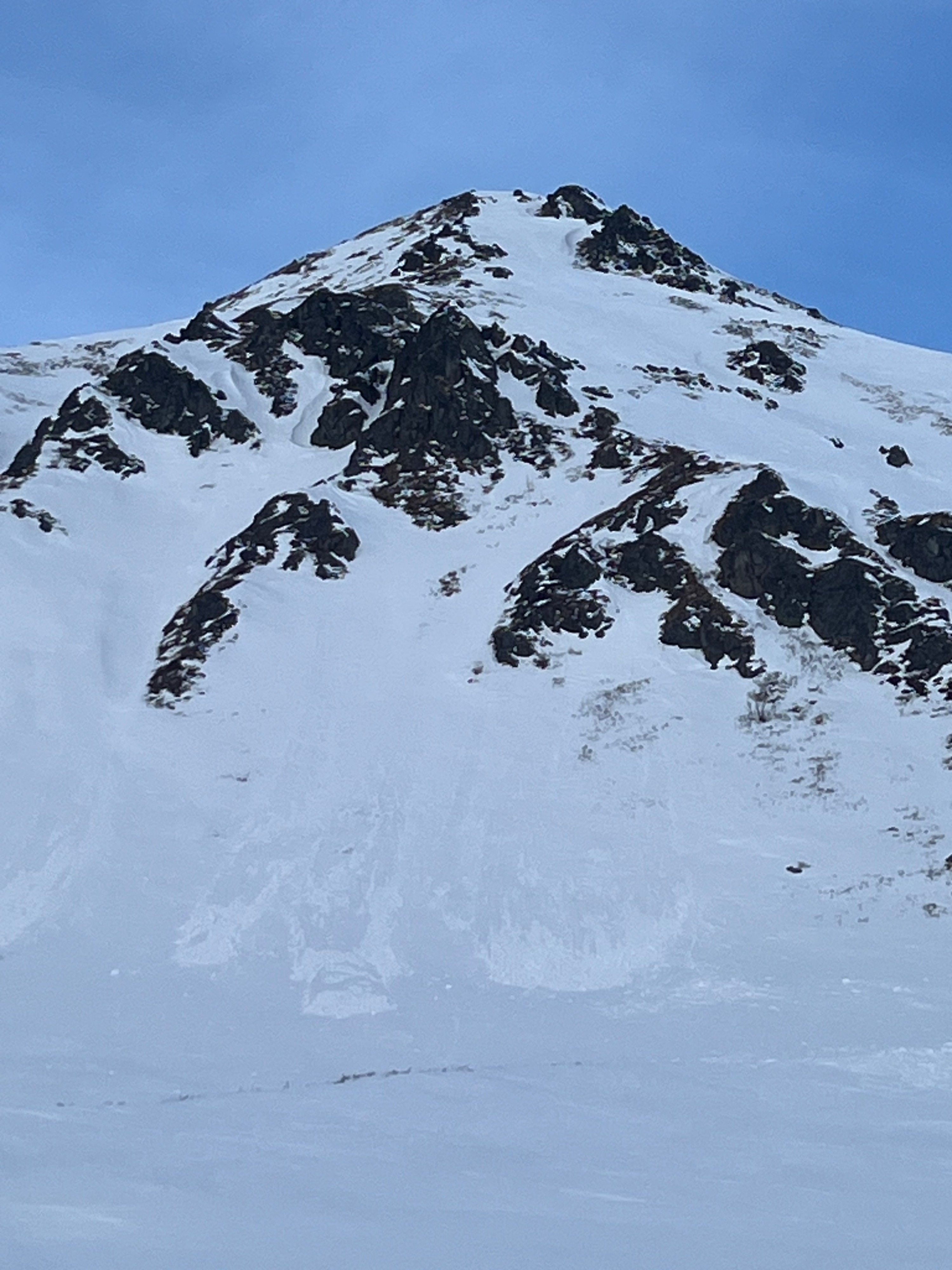
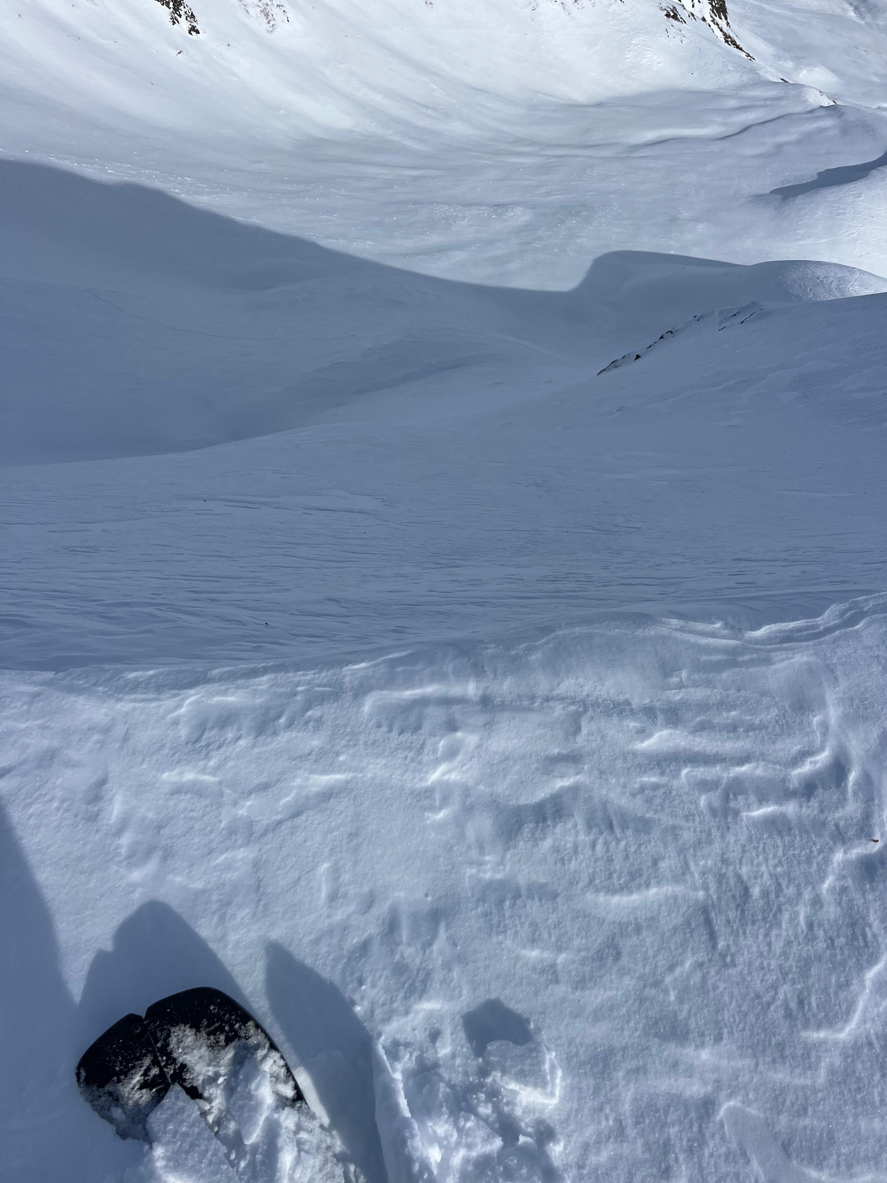
Observed a few old wet loose point releases at or near rocks on the sunny side of Skyscraper (see photo below). The more northerly you can get, the more faceted the snow was. Observed stout, supportive melt freeze crusts which are faceting below.