
Quick report
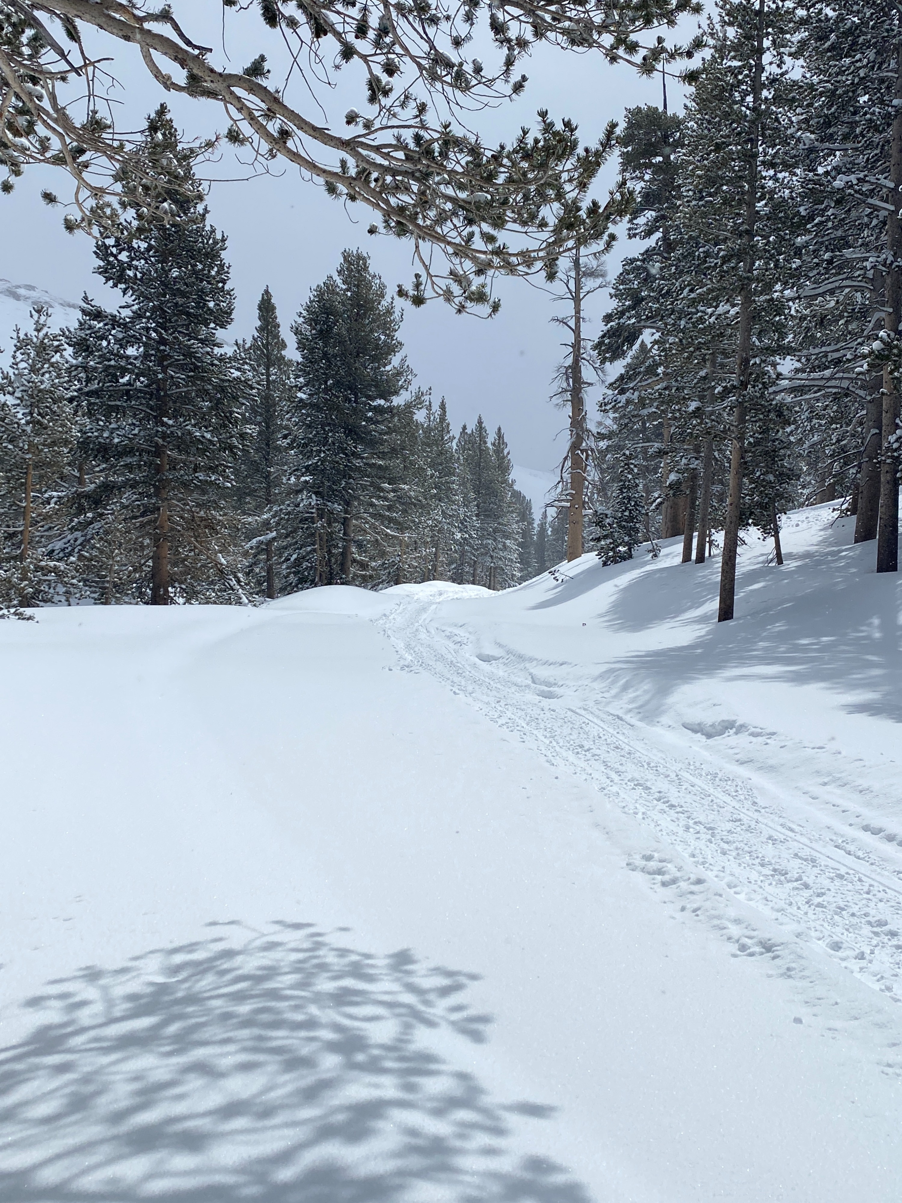
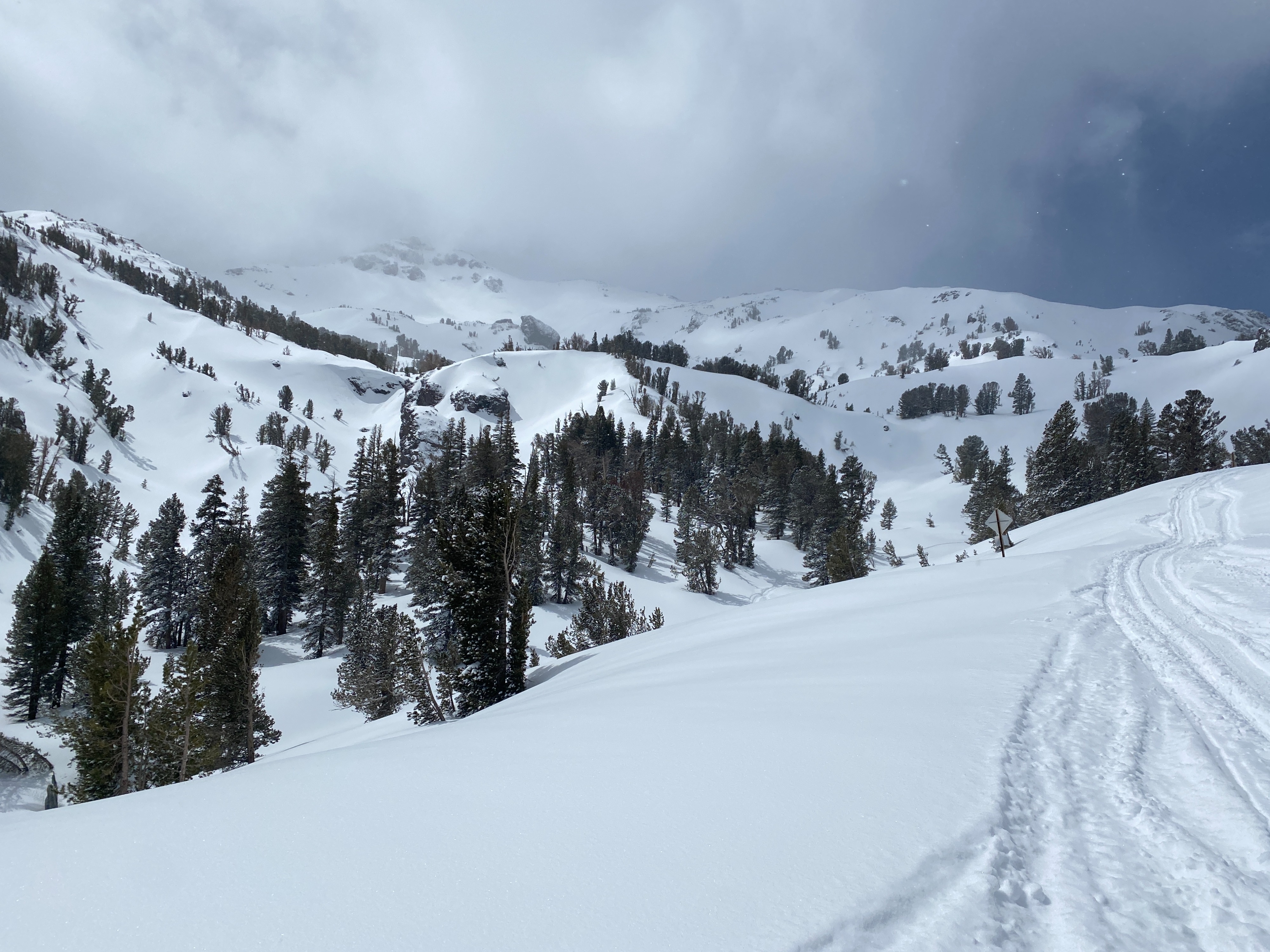
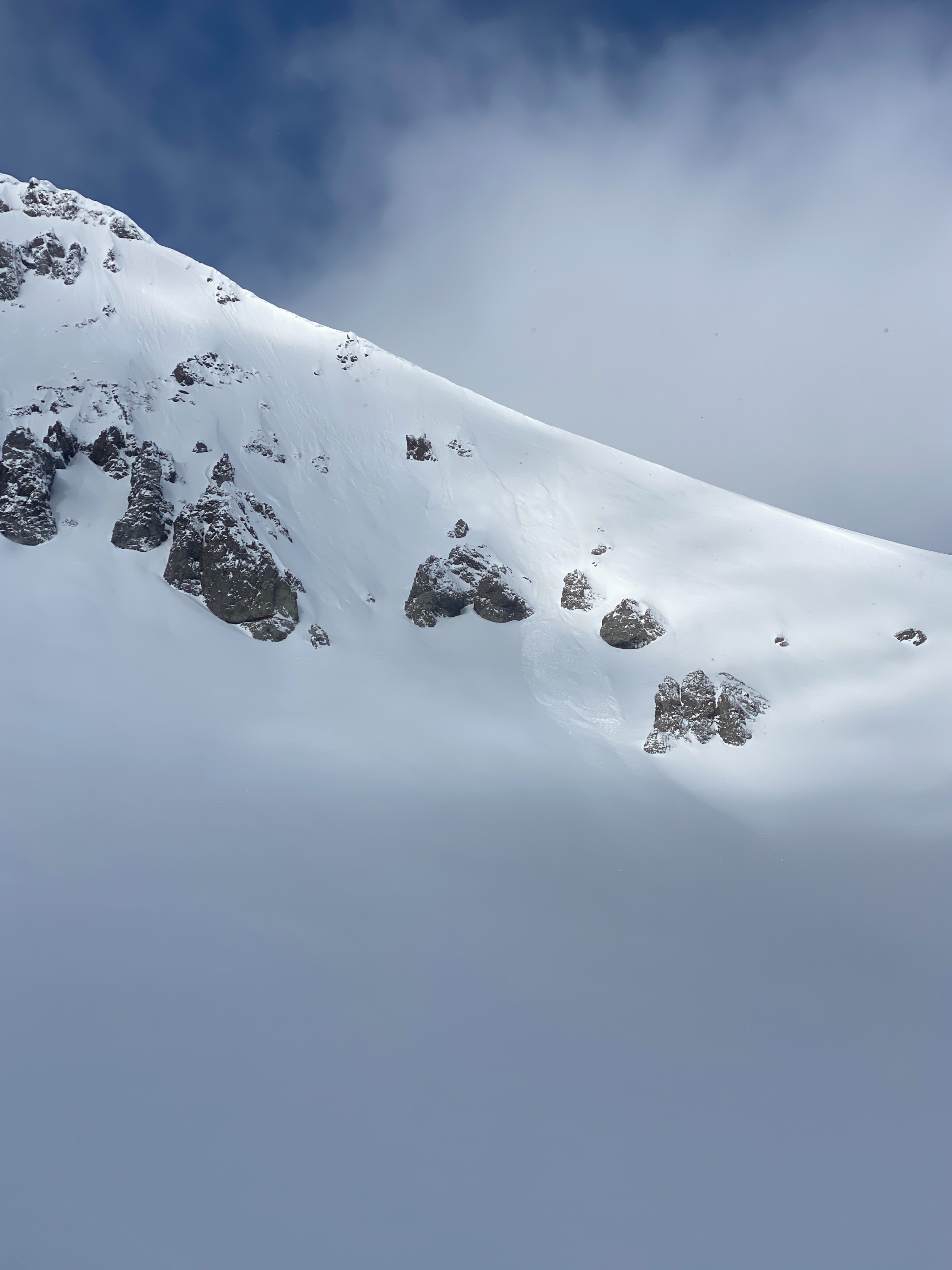
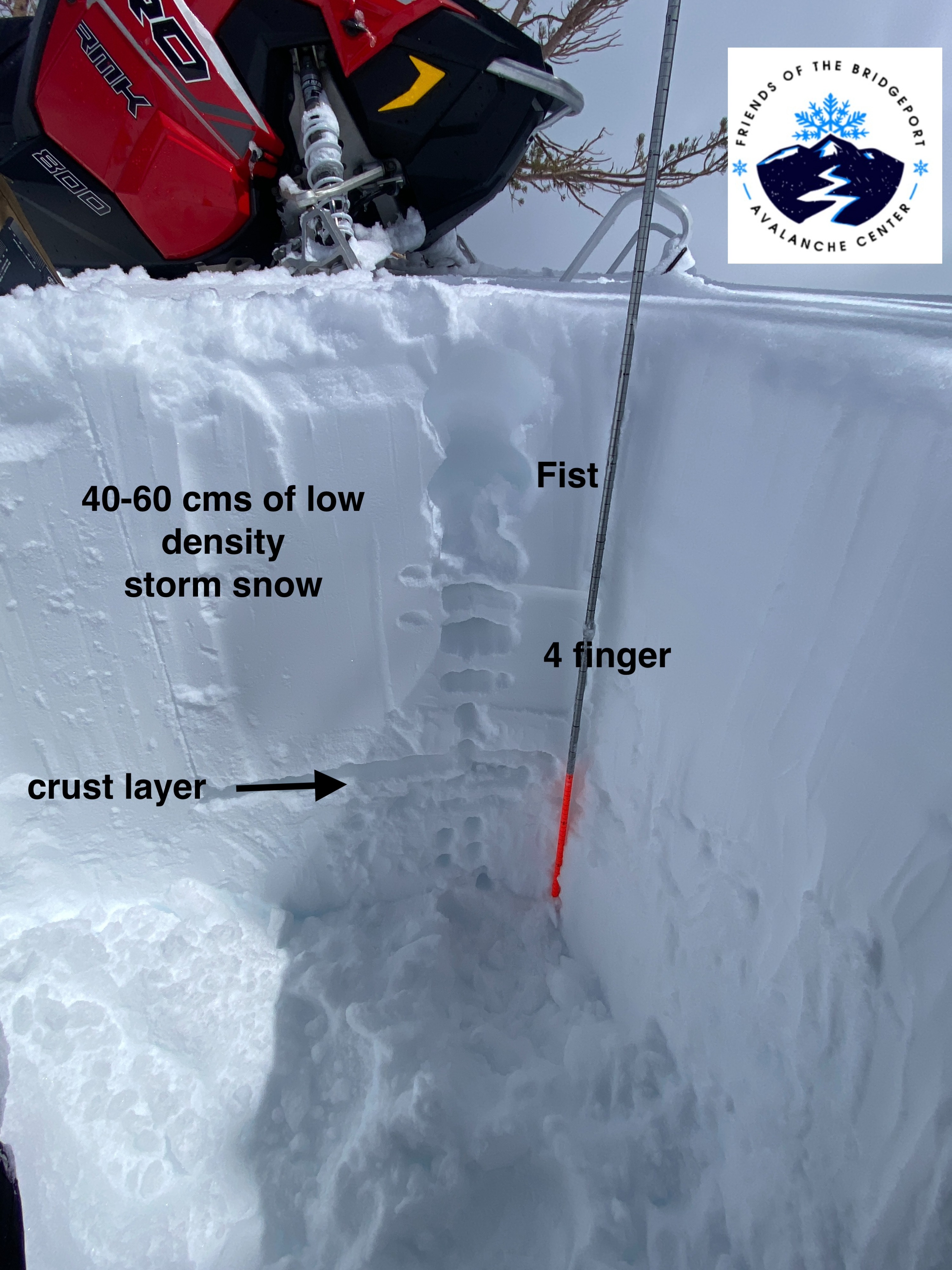
Cold and intermitent snow showers throughout the day today. The storm totals this morning from the Leavitt Lake SNOTEL came in at 22". In the field I found 30-60 cms of cold dry unconsolidated snow. We haven't had too many days like this this season. Small dry loose sluffs were observed across northerly and easterly aspects that likely ran during the storm.
Weather
- Air Temp
- 21
- Cloud Cover
- scattered
- Wind Loading
- none
- Rain Elevation
- valley floors / HWY 395
- Recent Snowfall
- 30-60 cms storm total
- Snow Avail For Transport
- large amounts
Cold temepratures today with a high of 21 F. Lightly snowing at times throughout the day. A slight warm-up mid-day when the sun came out. Little to no wind.
Snowpack
40-60 cm's of new snow on top of a thick crust. Compression tests produced fractures down 40 cm in the new storm snow (CTM Q3). Extended column tests did not produce propagation. Unconsolidated dry loose snow was found across the BWRA from Leavitt Lake to Sonora Pass. A few small dry loose sluffs ran during the storm.