
Quick report
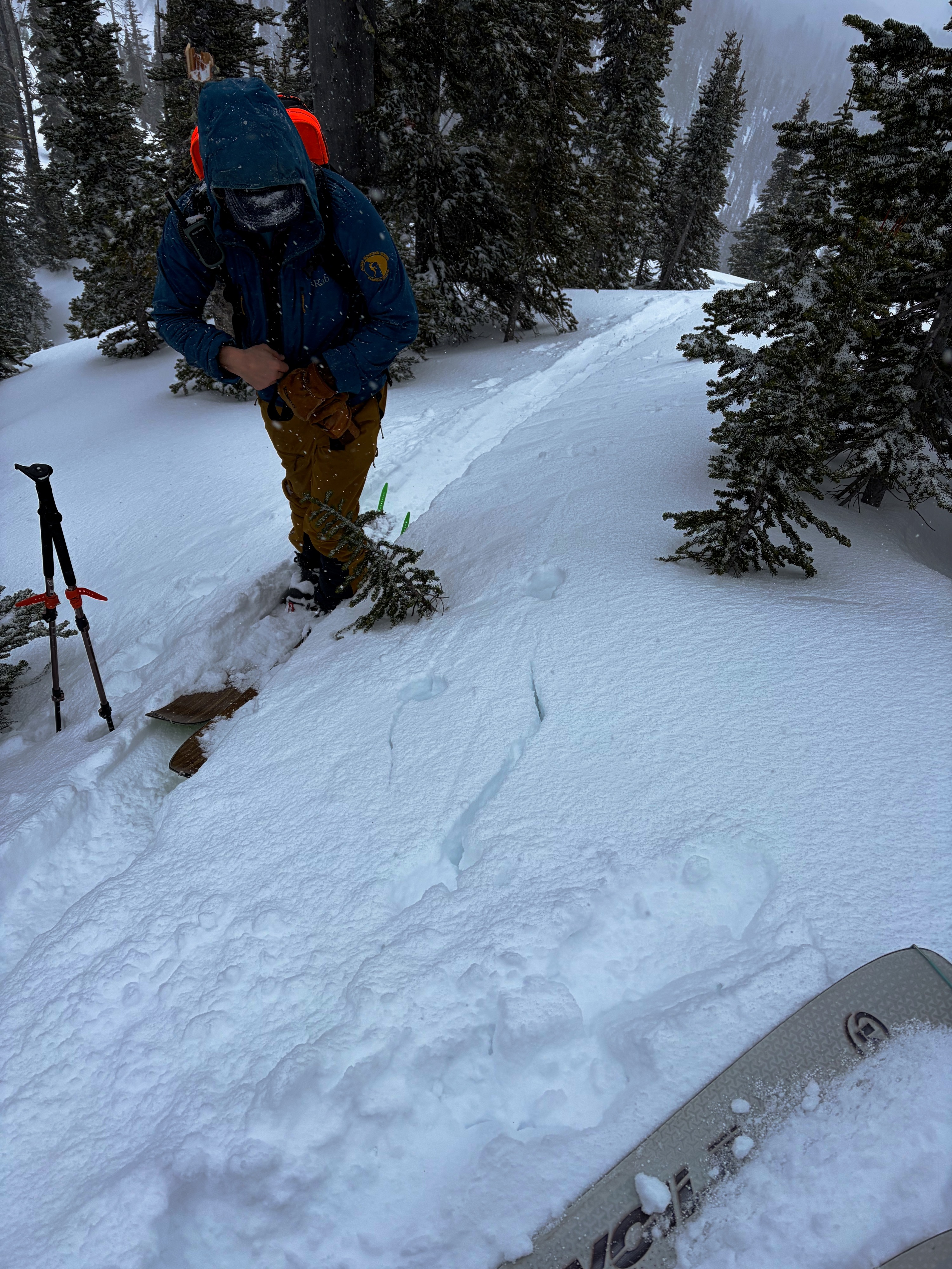
- Cracking
- isolated
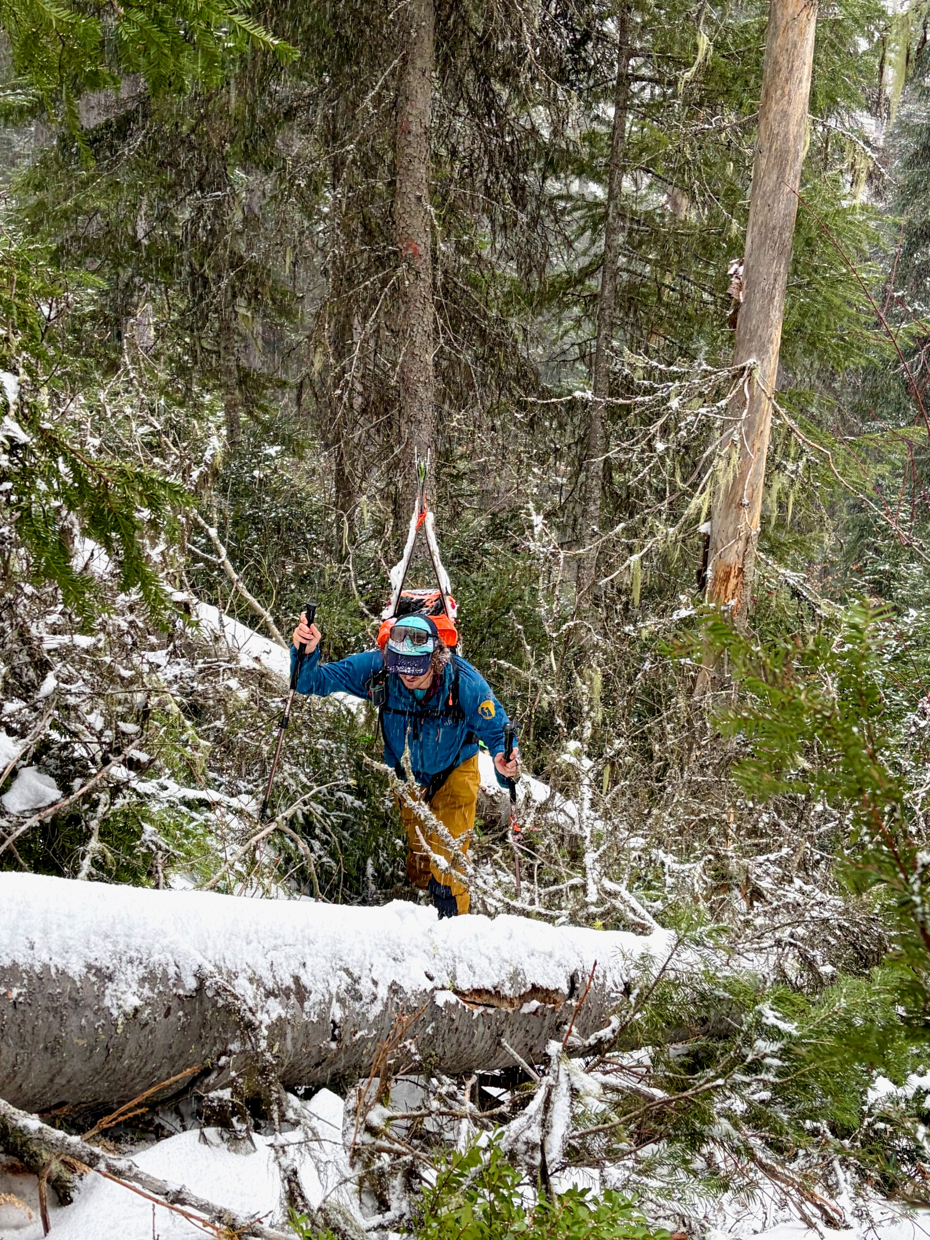
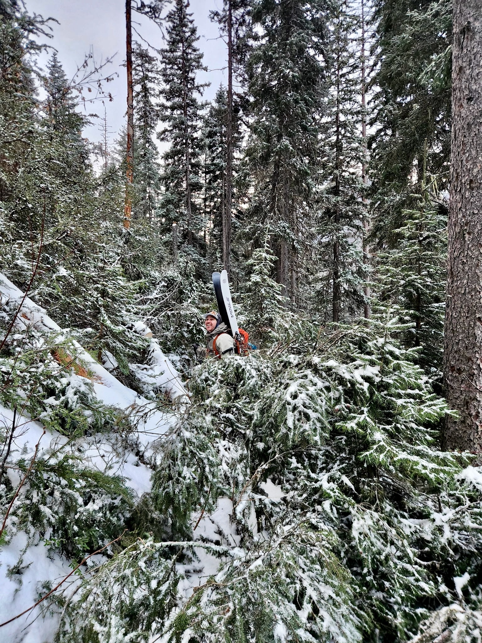
Josh and I took a deep dive into the Flathead Range today to assess recent wind loading concerns. Having little-to-no observations from the upper elevations in quite some time, we battled heinous blowdown through the lower elevation band and found decent turns at upper elevations in sheltered, low angle terrain.
•I'll go ahead and say, I believe the blowdown event from the latest round of wind is some of the worst I've seen in recent times. Huge swaths of forest in the Middle Fork corridor have been leveled which will present unique challenges to anyone using the Forest Service trail or road systems.
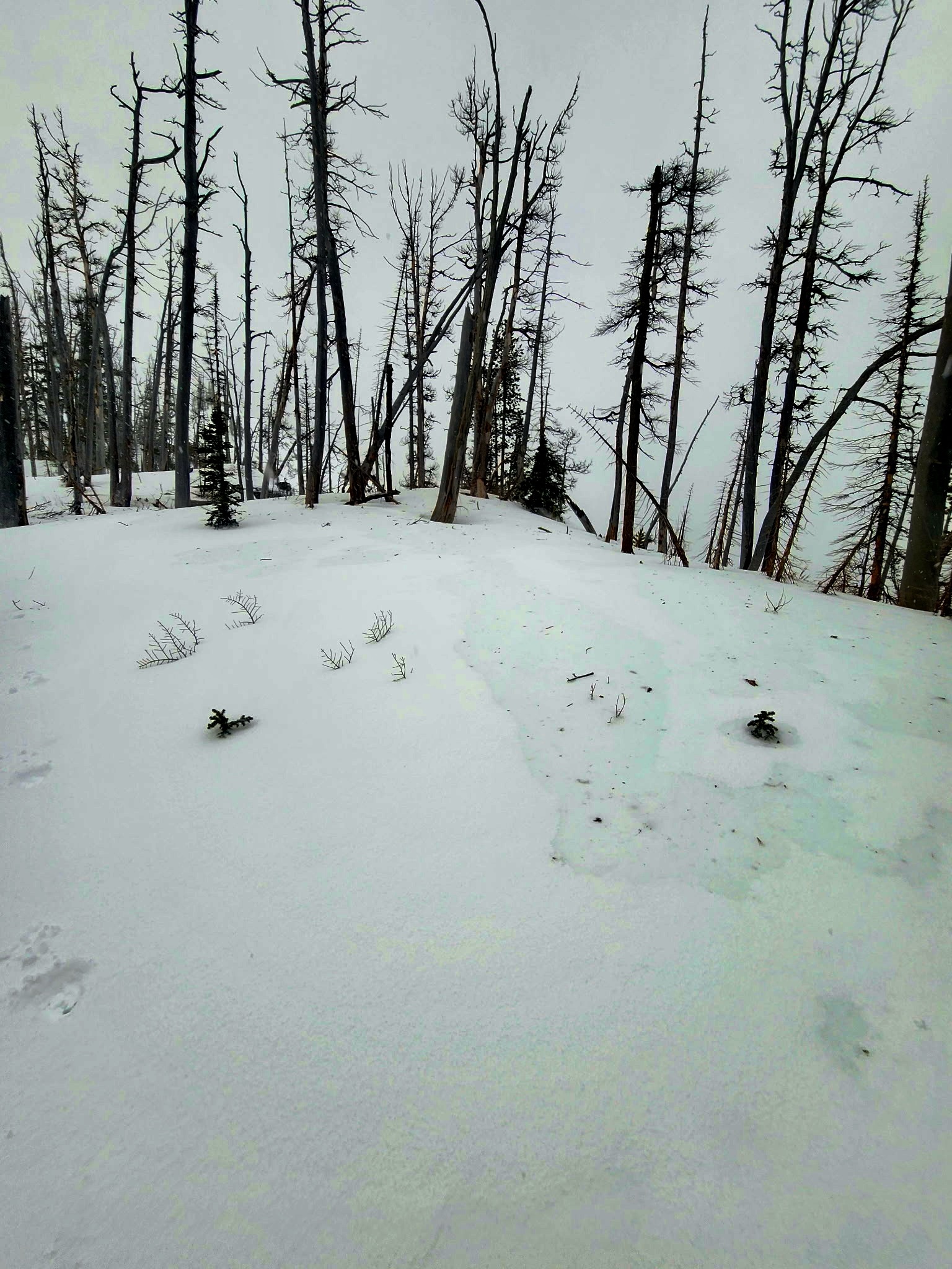
•Moderate to high wind speeds were easily transporting snow at the middle- and upper-elevation bands. Fortunately, windward slopes have been blown out, limiting the amount of snow available for transport, otherwise we could have found ourselves in a ground blizzard. Many windward slopes are scoured back to the AR crust.
•3-4" of low density, recent storm snow capped a density change (warmer, denser snow) from the warmup on Thursday night/Friday morning. This layer was ski supportable. The density change was capping lower density snow above the Atmospheric River (AR) crust. I would expect the recent wind slab activity in the Flathead Range to be a result of this layering above the stout, AR crust.
•Snow since the AR ended a week ago totals anywhere from 3-8" (dependent on elevation) and is generally right-side-up in most sheltered locations, with the exception of the thin density change layer from the warmup a few days ago. In wind-loaded areas, snow depths above the AR crust approach 18". The winds have clearly been chaotic over the past few days, and well down the slope we found areas with 8" over the AR crust right next door to 18" over the same crust.
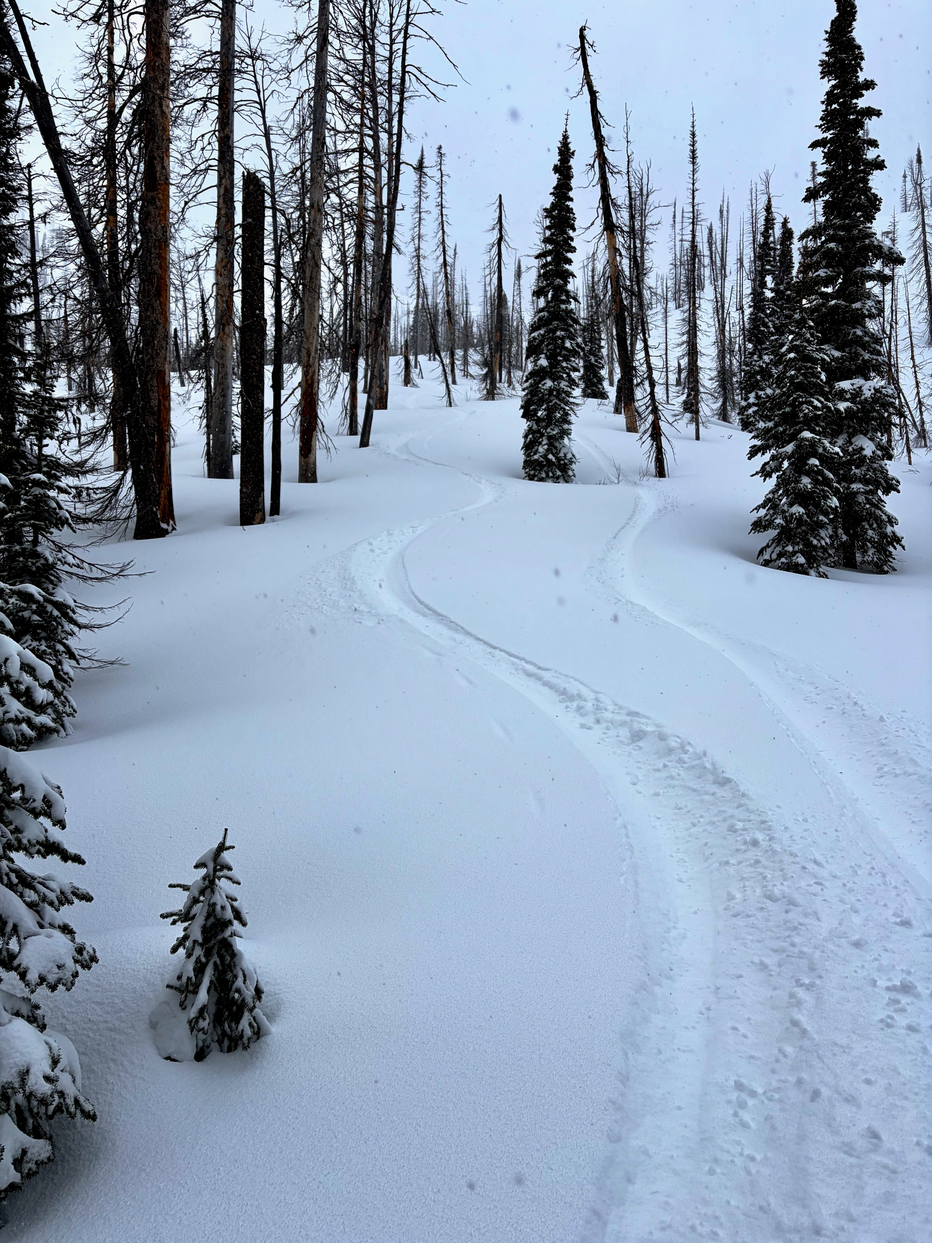
•We experienced great skiing (above 6000') in sheltered, low angle terrain with billowing clouds of cold smoke on each turn.
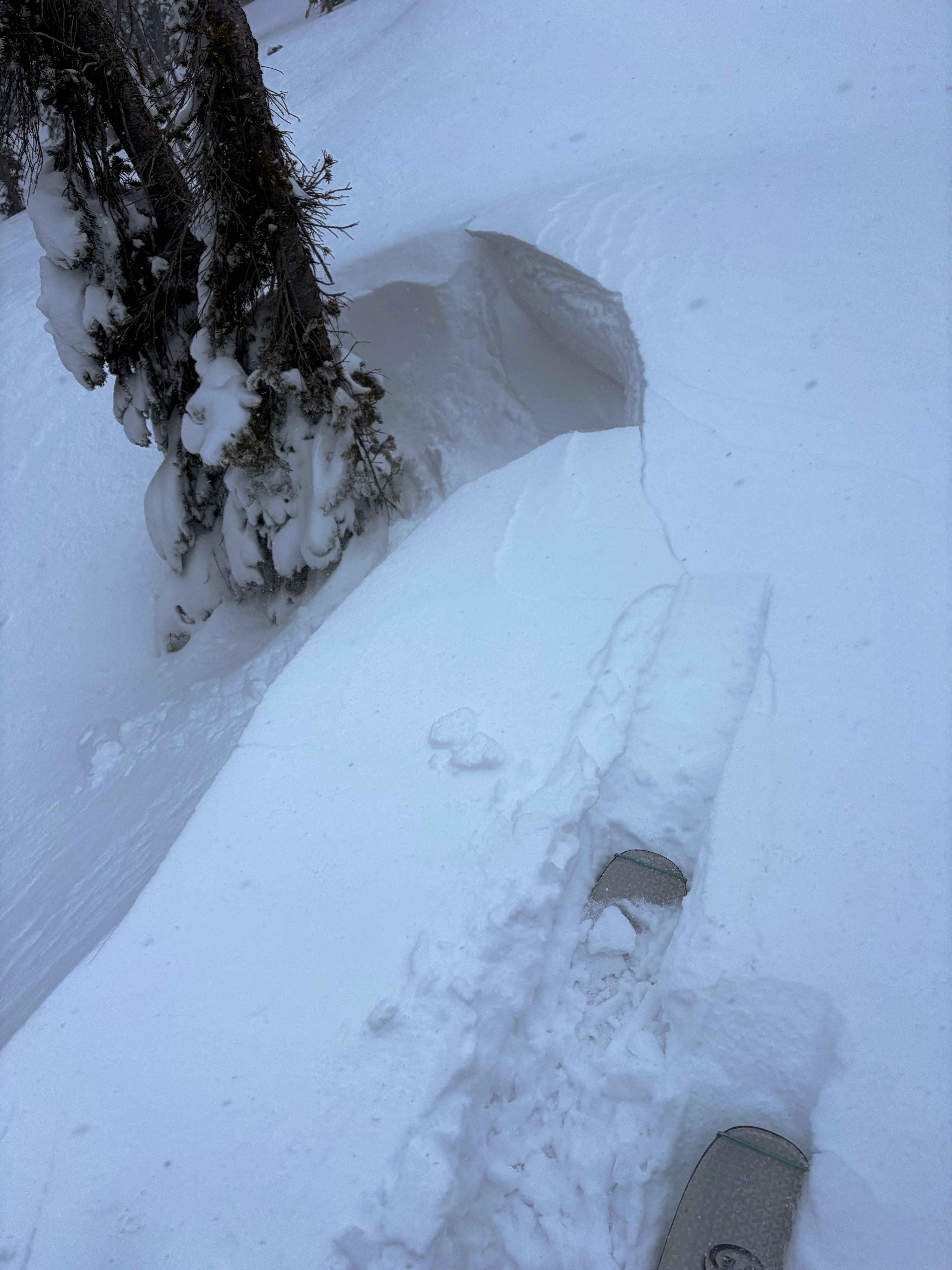
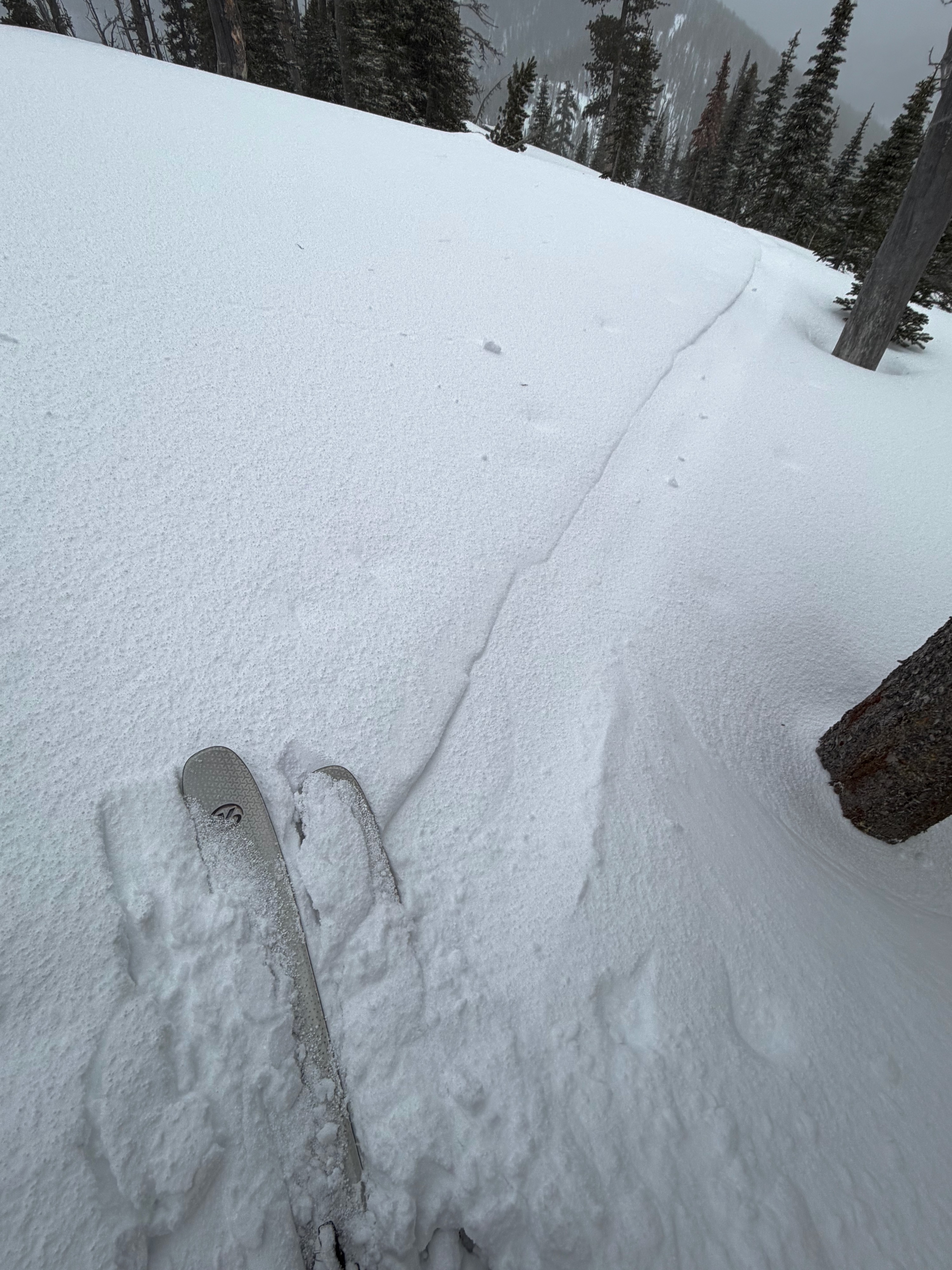
•We were able to identify wind affected snow and steer clear of areas that were likely harboring denser wind slabs above 6000 feet. We observed only a bit of cracking on steep and wind loaded test slopes and below small cornices; ski cuts were unproductive. Wind affected snow was also noted in sheltered terrain, however it was isolated and stubborn to trigger.
•If one were to venture onto larger alpine terrain or faces, expect the wind slab problem to be more widespread on leeward aspects.
Take home message...if you brave the blowdown in the lower elevations, safe, quality riding conditions exist above 6000' in sheltered terrain free from wind effect. Be wary of steep slopes in wind effected areas as they are more likely to harbor senstive wind slabs.
Weather
- Air Temp
- Below freezing at the trailhead, well below freezing up high
- Cloud Cover
- obscured
- Wind Loading
- moderate
- Recent Snowfall
- 10 cm since Thursday eve/Friday AM, 20 cm over AR Crust
- Snow Avail For Transport
- moderate amounts
Snow and graupel squalls and moderate to high winds were present along ridgelines in the upper elevation band during the AM hours. It was a cold and blustery day in the upper elevations. Around 1400, winds died down and clouds lifted allowing for limited visibilty into surrounding terrain. Less than 1" of snow accumulation over the course of the day.
Snowpack
HS @ 7200' - 140 cm
HS @ 6000' - 110 cm
HS @ 5500' - 30 cm