Wapta conditions. March 31- April 2nd
Apr 2nd, 2026 2:00 PM
J.Inwood
Details
Type
quick
Coordinates
51.477870, -116.378014
Quick Observation
March 31st - April 2nd
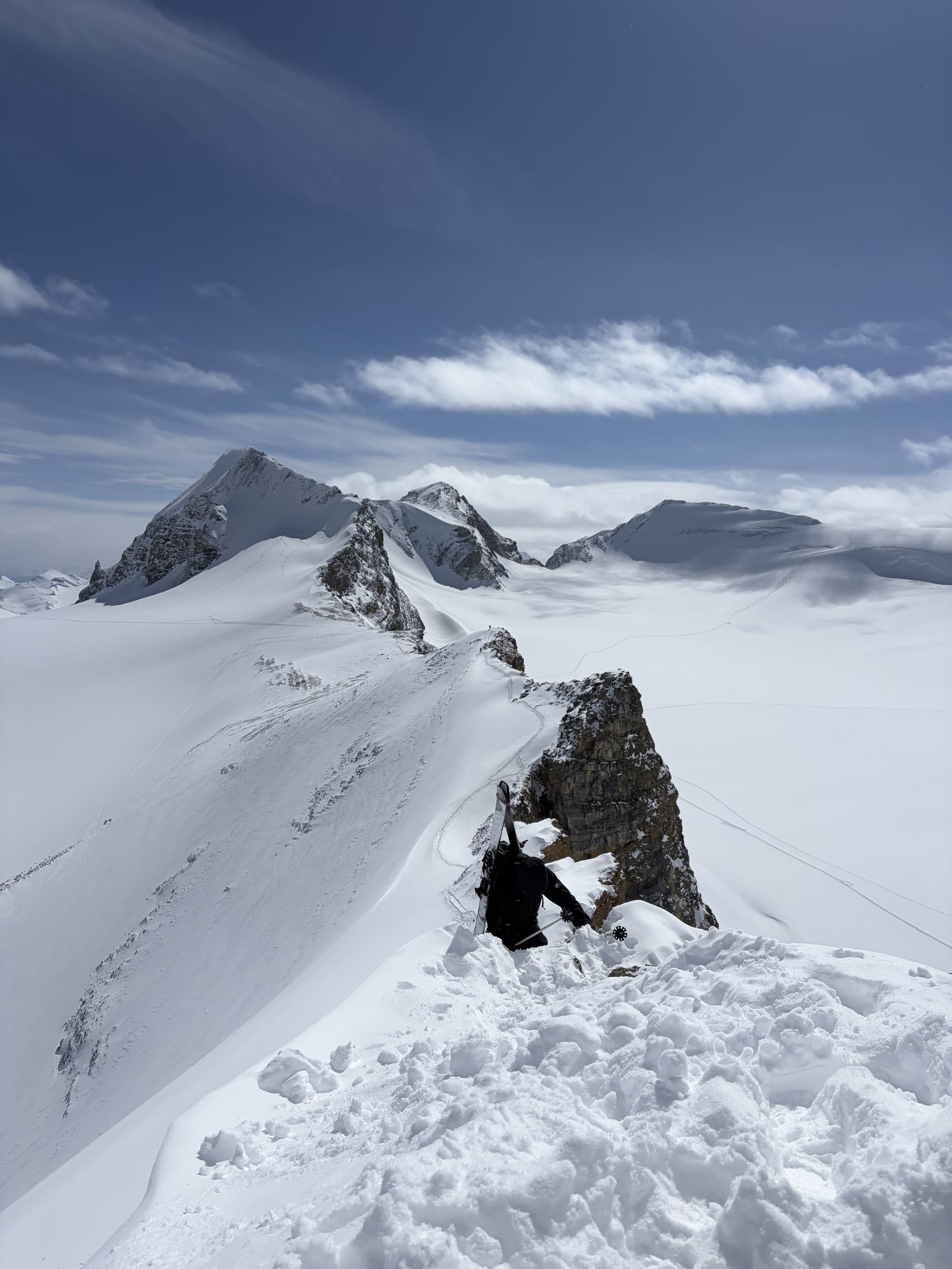
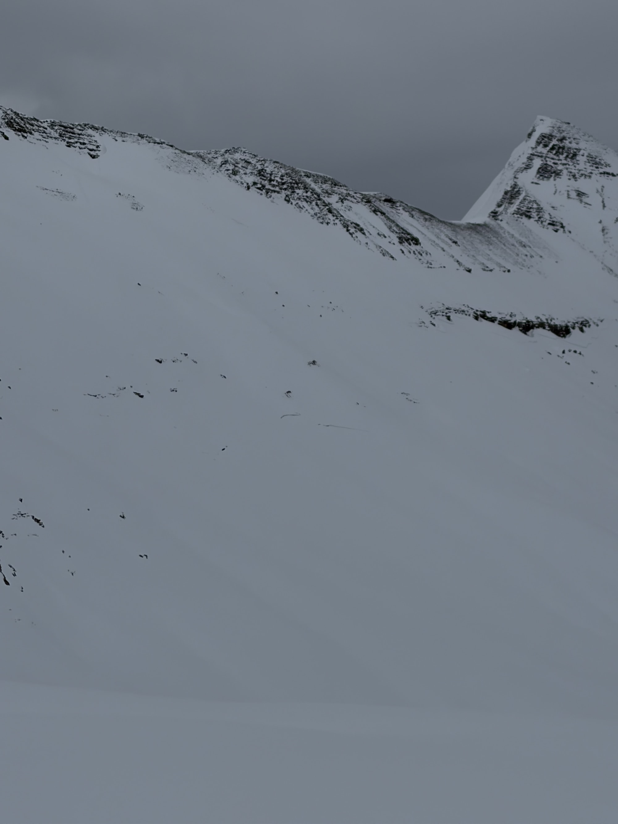
The Wapta is in great conditions through the canyon most of the overhead on the walls has gone Na although still some lingering pockets. The bow glacier has great coverage ranging from 2-3 m depth in most places, we tagged St Nic first day and skied off the summit after utilising a belayed ski cut for the first skier. 5-10 cm of fist over lying a consolidated base. Around the rocks where the snow pack is thin found a lot of facets with new F snow on top.
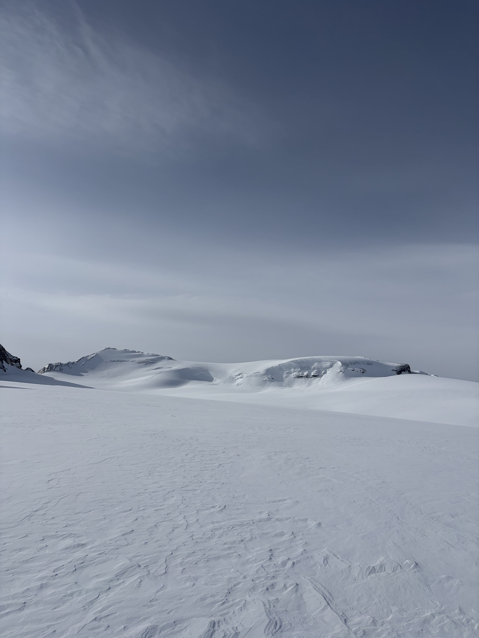
April 1st- Mt Gordon summit and skied the NE face, there had been some light to mod SW winds that had transported some of the surface snow into the lees but coverage bridging the Crevasse was good and skiing was excellent. Also tagged Mt. Olive sub peak and skied off the ridge line on a NE face which saw recent wind loading up to 25 F in the lees. On our decent to Balfour 2 members of the party also tagged Vulture peak skied the SW facing slope on a 20-30 degree bench it had been slightly wind affected ranging from 10-15 of F and some areas of 10 cm 4F surface snow. Vulture Glacier coverage was excellent.
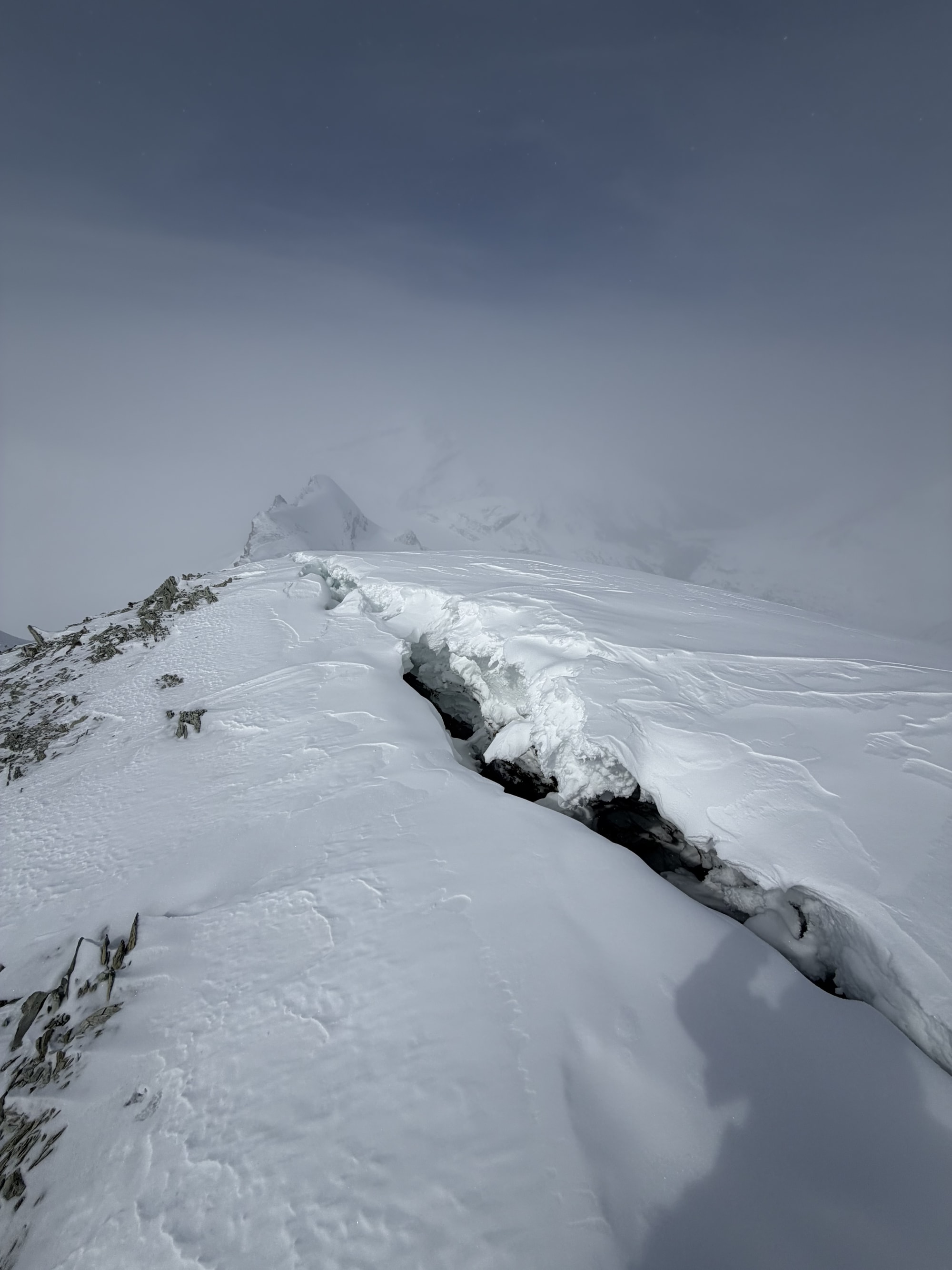
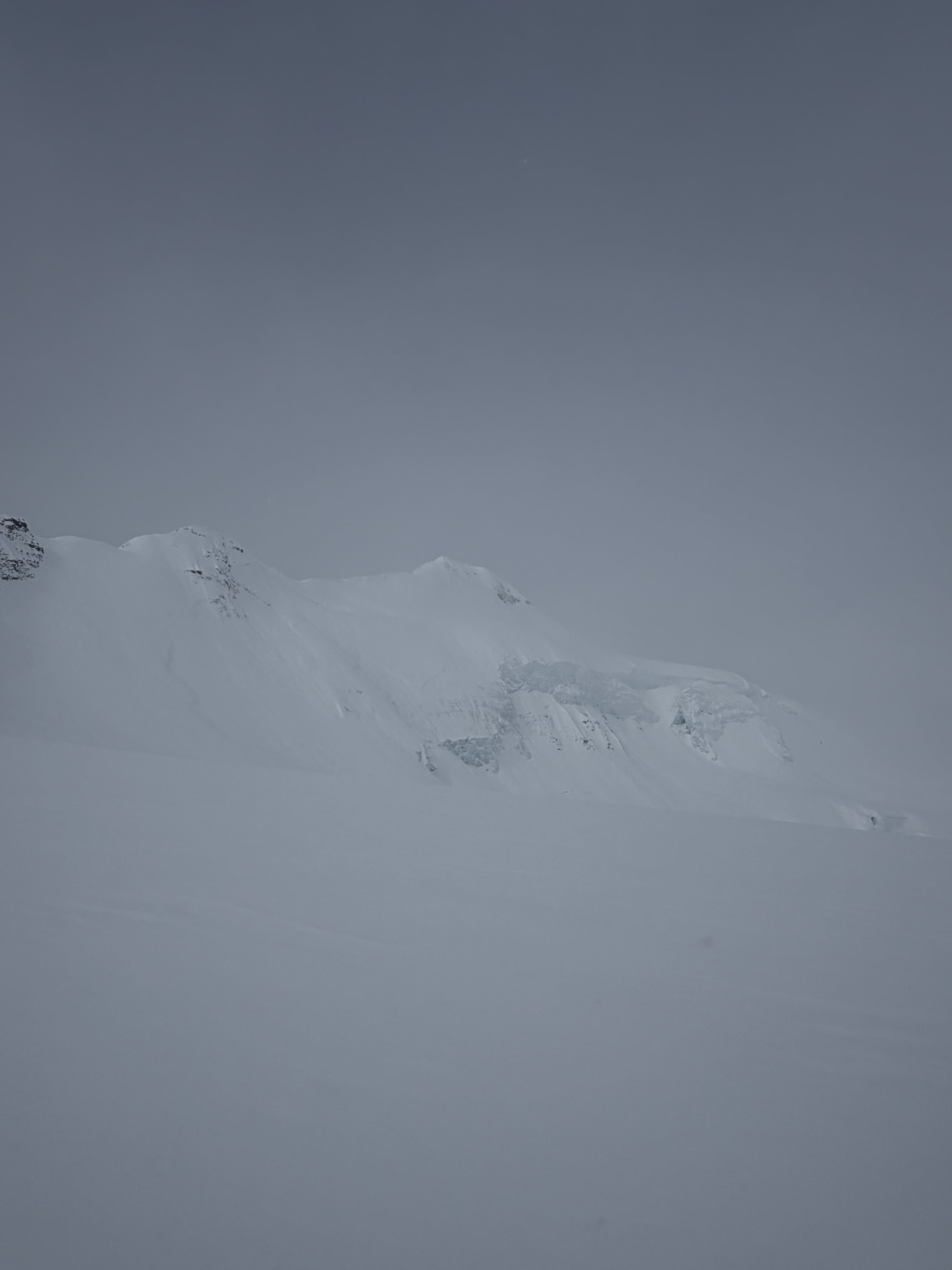
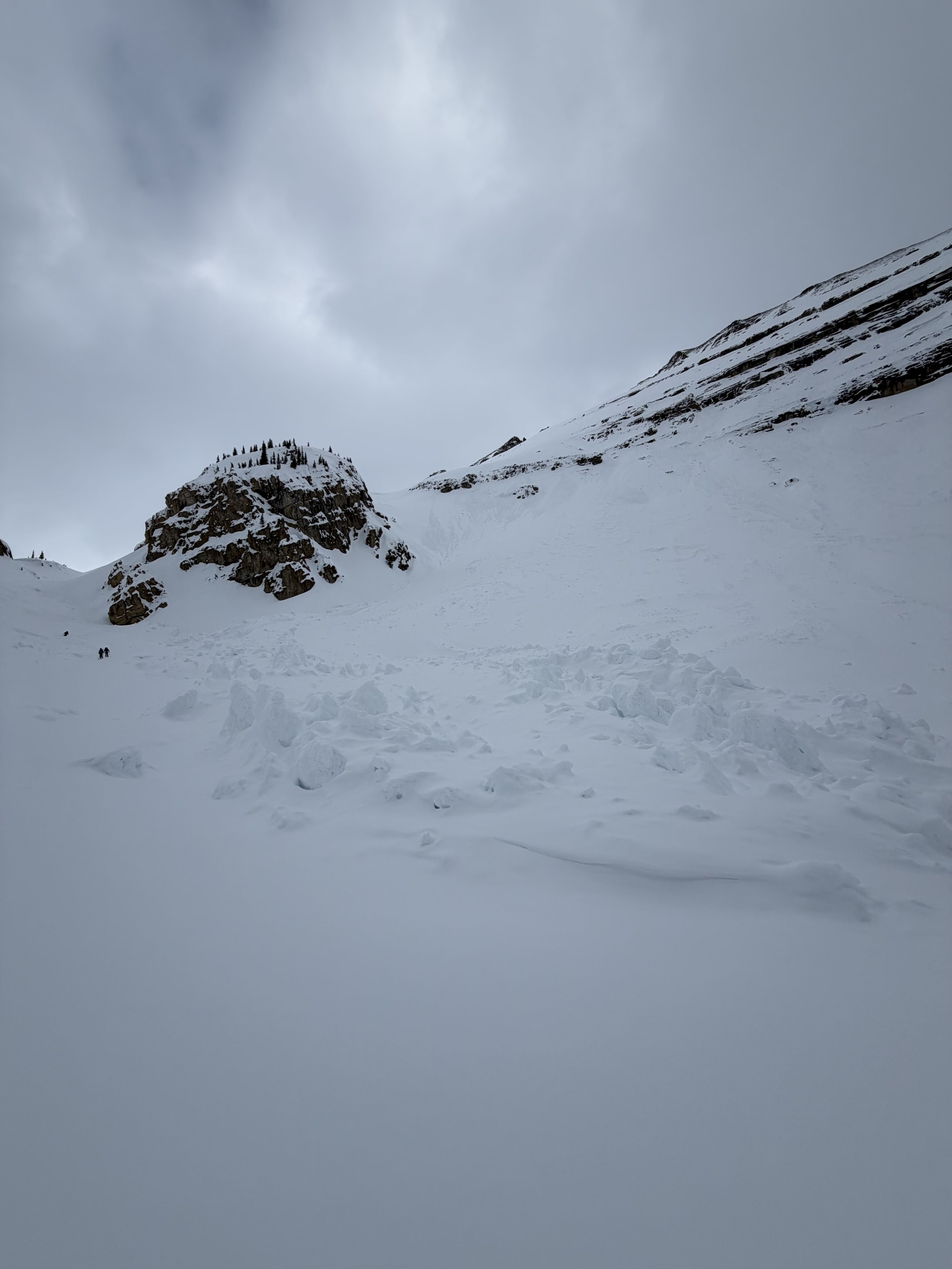
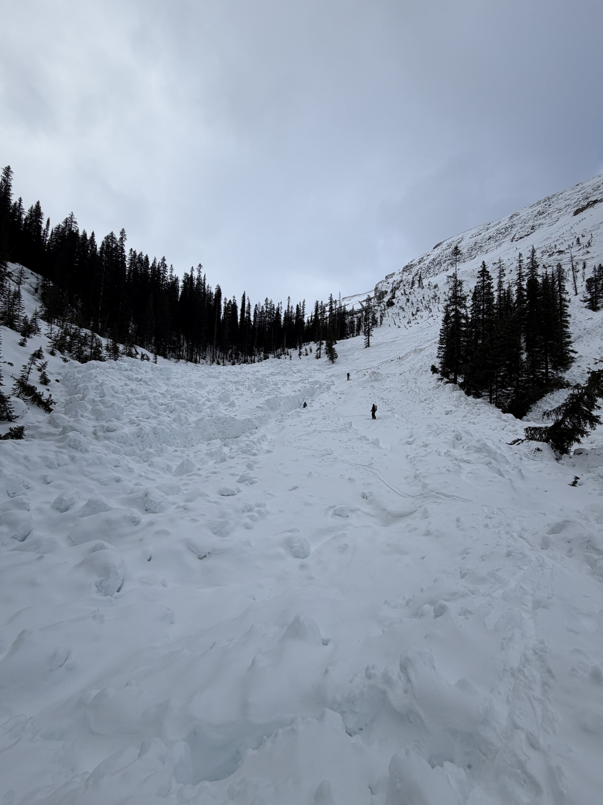
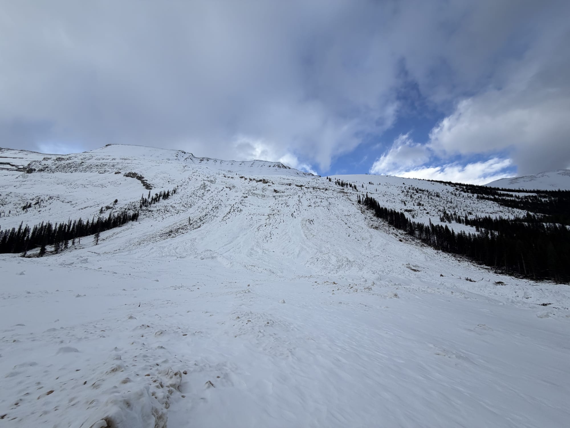
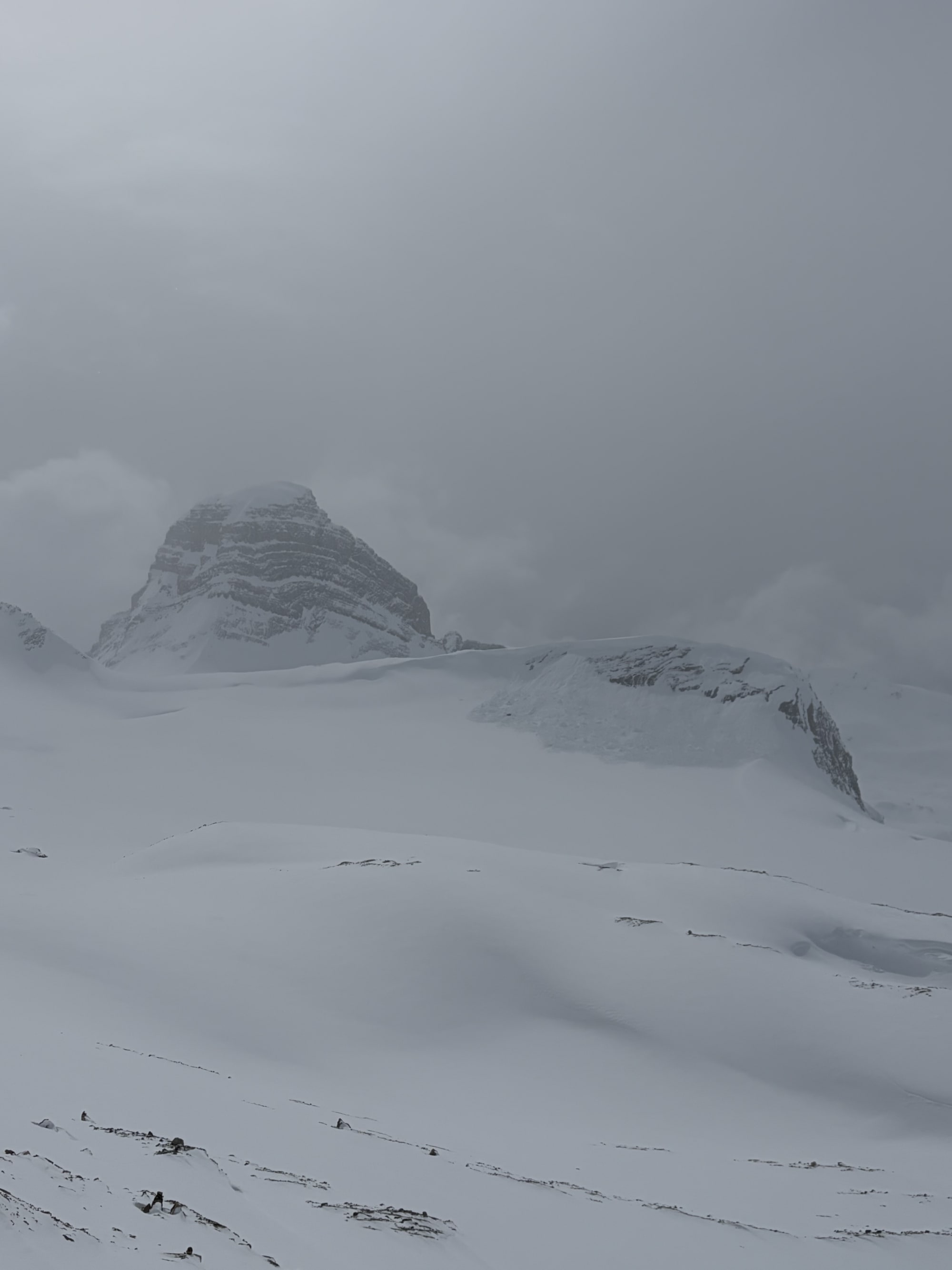
April 2nd- Balfour to the Great divide lodge through the High Col recent Na cleared some of the overhead that was lingering on top of the Seracs and decent coverage bridging the crevasses. The Ne facing knoll on the Daly glacier had a recent Cornice failure size 2.5 within the last 12-24 hours. The travel through Mt Niles and Mt Daly to get into the Paget drainage was in very rough shape, with temps at 0 at valley bottom and some solar inputs with thin low cloud top 5 was becoming moist and observed several small point releases out of steep slopes. There were also two very large glide cracks mid slope on Paget. Multiple overlapping avalanche paths had slid and were frozen solid and were unavoidable. Most if not all paths had slid to valley bottom.
As we got into the Paget drainage the NW2.4 SW face had ripped to ground wall to wall running all the way across the swamps and pushing over mature timber on the other side of the valley. This made for an interesting exit and I would add 1-2 hours to get through these valleys with heavy packs etc
Photos (9)