
Quick report
- Cracking
- specific
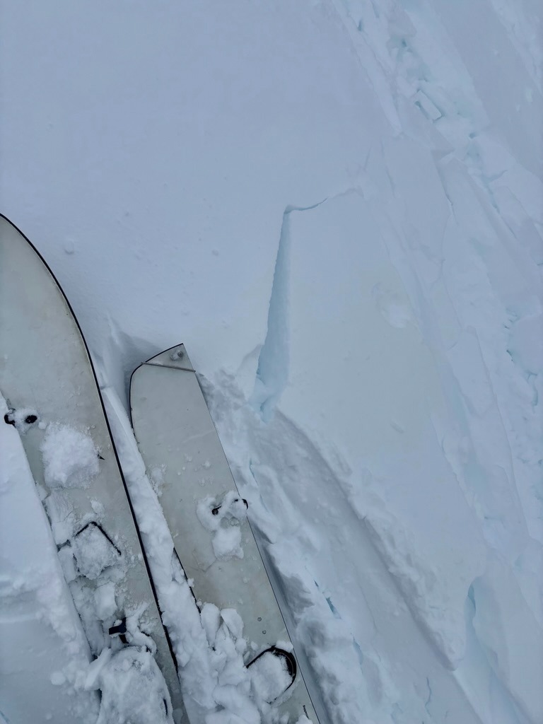
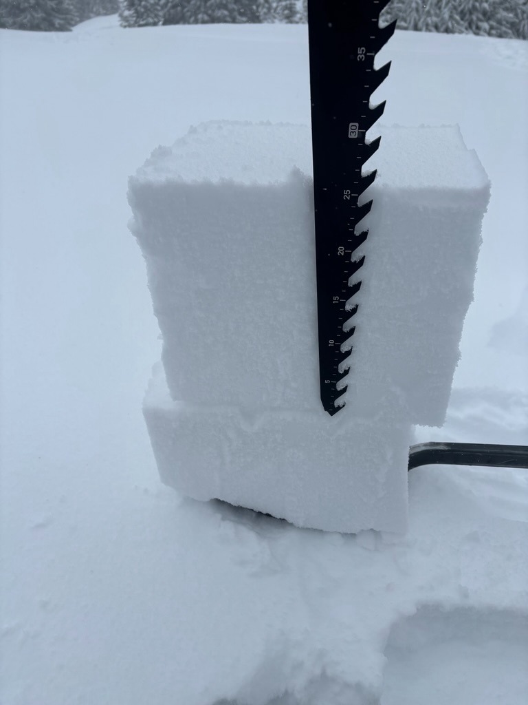
It was a stormy day to be traveling around Mt. Hood. I observed about 10-12 inches of dense new snow that fell in the last 24 hours along sheltered terrain. Other than a few mid-storm failures, I found the new snow well bonded to pre-existing surfaces and the 12/7 crust below 5800 ft. Once above 6000 ft, strong W winds drifted new snow into stiff 6-12" slabs that were reactive with skin track tests. Poor visibility limited further observation above 6000 ft.
Weather
- Air Temp
- High 20's
- Cloud Cover
- obscured
- Wind Loading
- intense
- Rain Elevation
- 4000 ft ( Around Pocket Creek)
- Recent Snowfall
- 25 cm
- Snow Avail For Transport
- large amounts
Snowpack
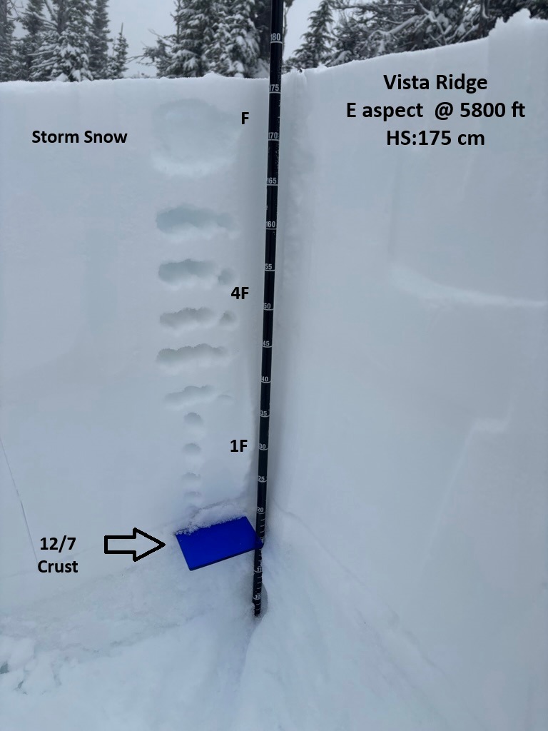
HS ranged from 160- 200 cm in this area. My main focus was to investigate how the new load is bonding to the pre-existing surfaces. Snowpack tests revealed a strong, right-side-up structure and good bond to the 12/7 crust below 6000 ft. The only notable results snowpack tests highlighted were failures within the new storm snow about 25 cm below the surface as you'd expect after a significant storm.
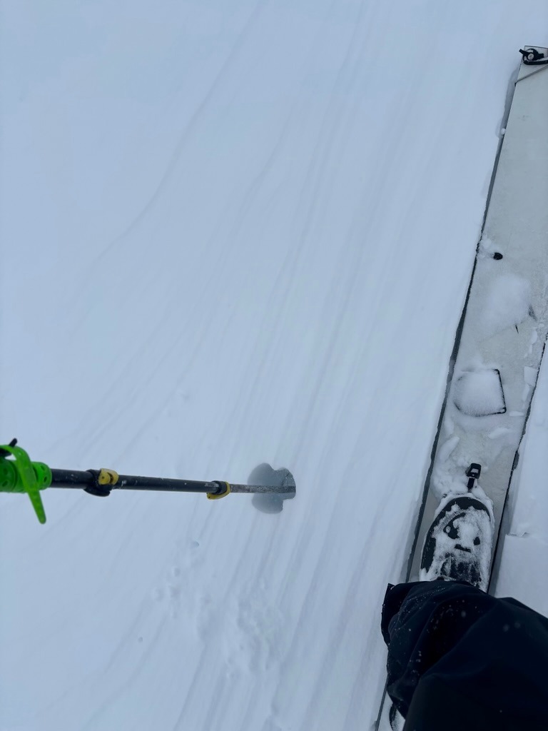
Strong winds, poor visibility, and heavy drifitng turned me around at treeline at roughly 6000'. At this point, surfaces became firmer (4F-1F) and wind-textured. Skin track tests were productive at showing shooting cracks within this wind drifted snow.