
Quick report
- Cracking
- isolated
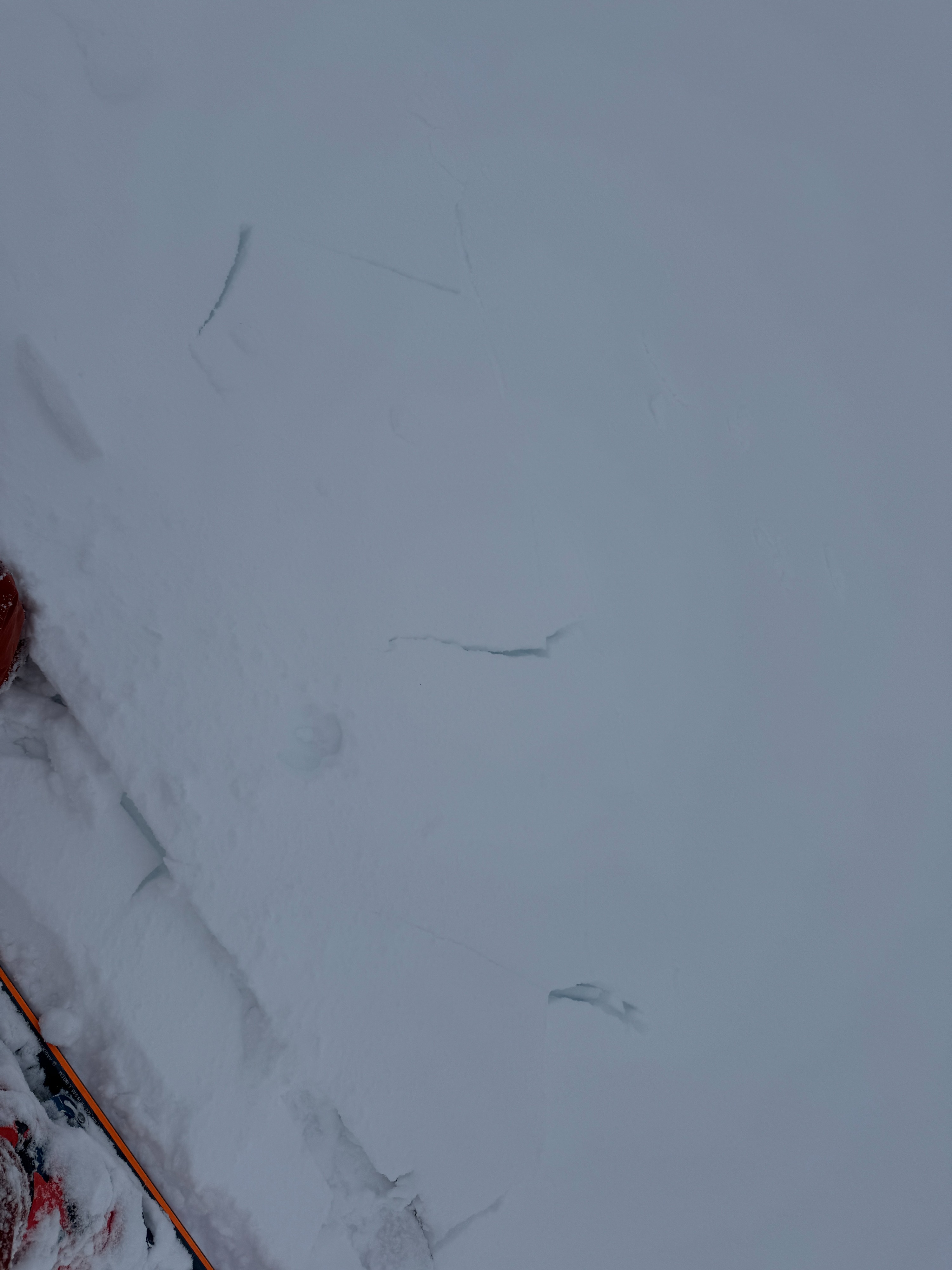
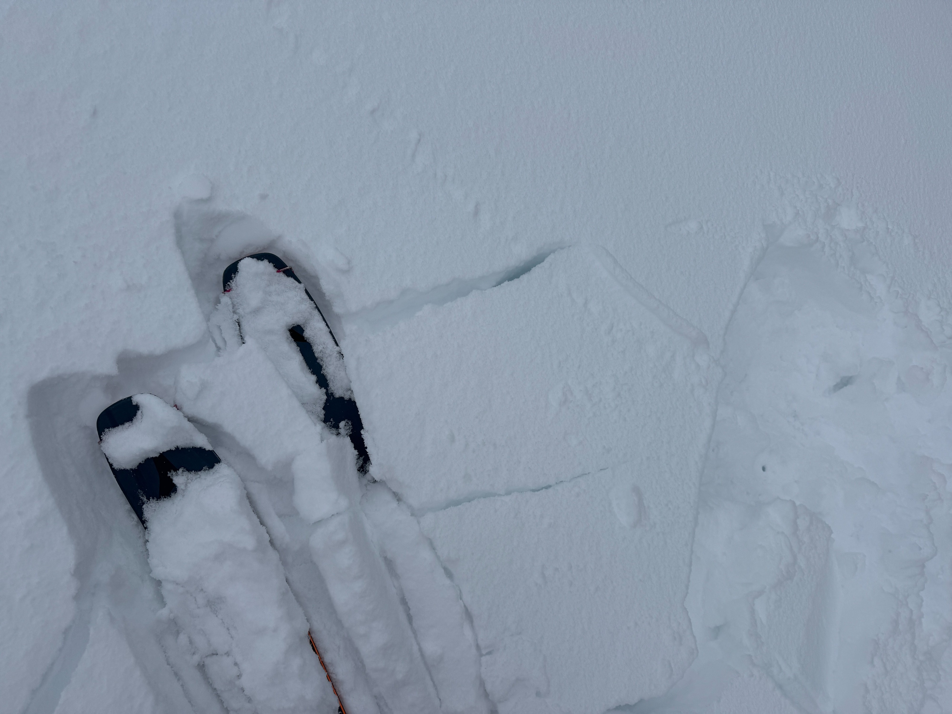
Welcome back winter! While the new snow was starting to stack up and greatly improved travel conditions, there just wasn't quite enough to create a significant hazard. Numerous snowpack tests in a wide variety of locations showed similar results. They indicated the weakest layers existed in the old snow (facets) on shaded NW-N-E aspects. Theys layers would consistently fail but were not quite ready to propagate an avalanche.
Cracking was localized to small wind loaded features and deeper pockets of new snow.Weather
- Air Temp
- 30
- Cloud Cover
- obscured
- Wind Loading
- light
- Rain Elevation
- 4500
- Recent Snowfall
- 15
- Snow Avail For Transport
- moderate amounts
Stormy day! Snowfall and winds tappered mid-morning giving us a slight reprieve and the ability to move along more exposed ridges. The storm intensified just after lunch with moderate snowfall and gusty winds.
Snowpack
When we exited the backcountry around 230pm, there was about 6inch (15cm) of new snow in the middle elevation band. This new snow fell on a variety of surfaces. We spent a lot of time with our hands, shovels, and saws in the snow today. Here's a broad summary of what we found.
S Aspects: Where we traveled the new snow bonded well to a very thick and firm melt freeze crust. Handpits and uptrack tests produced shallow (4in/ 10cm) slabs that failed about 2 inches above the stout crust. Since these little storm slabs were so thin, they didn't post much of a hazard. We tried on several occasions to break through the old surface crust. It took quite a bit of effort! Underneath we found moist melt forms from this past week's warm and sunny weather. Our main concern in these locations was the storm snow layers.
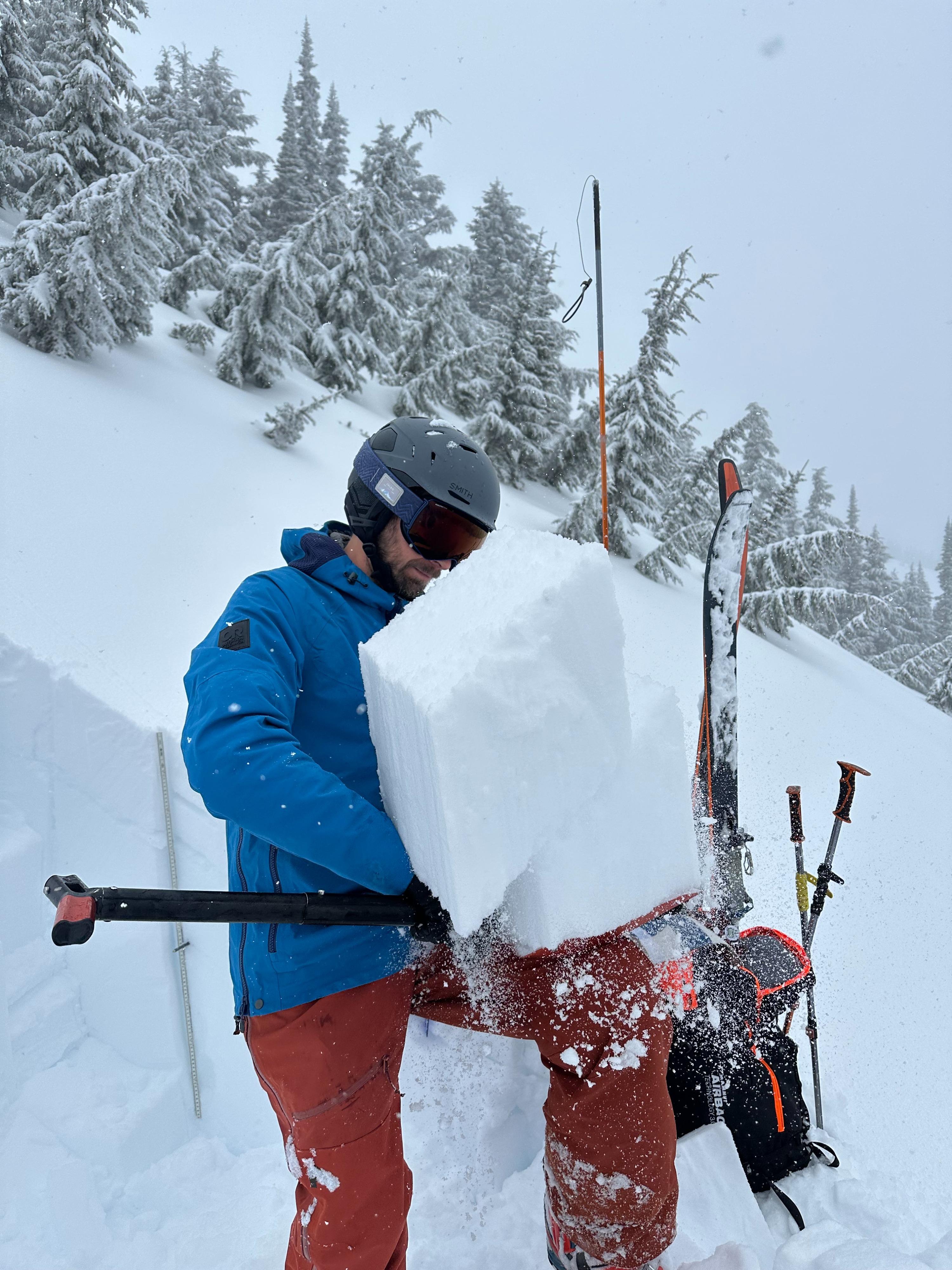
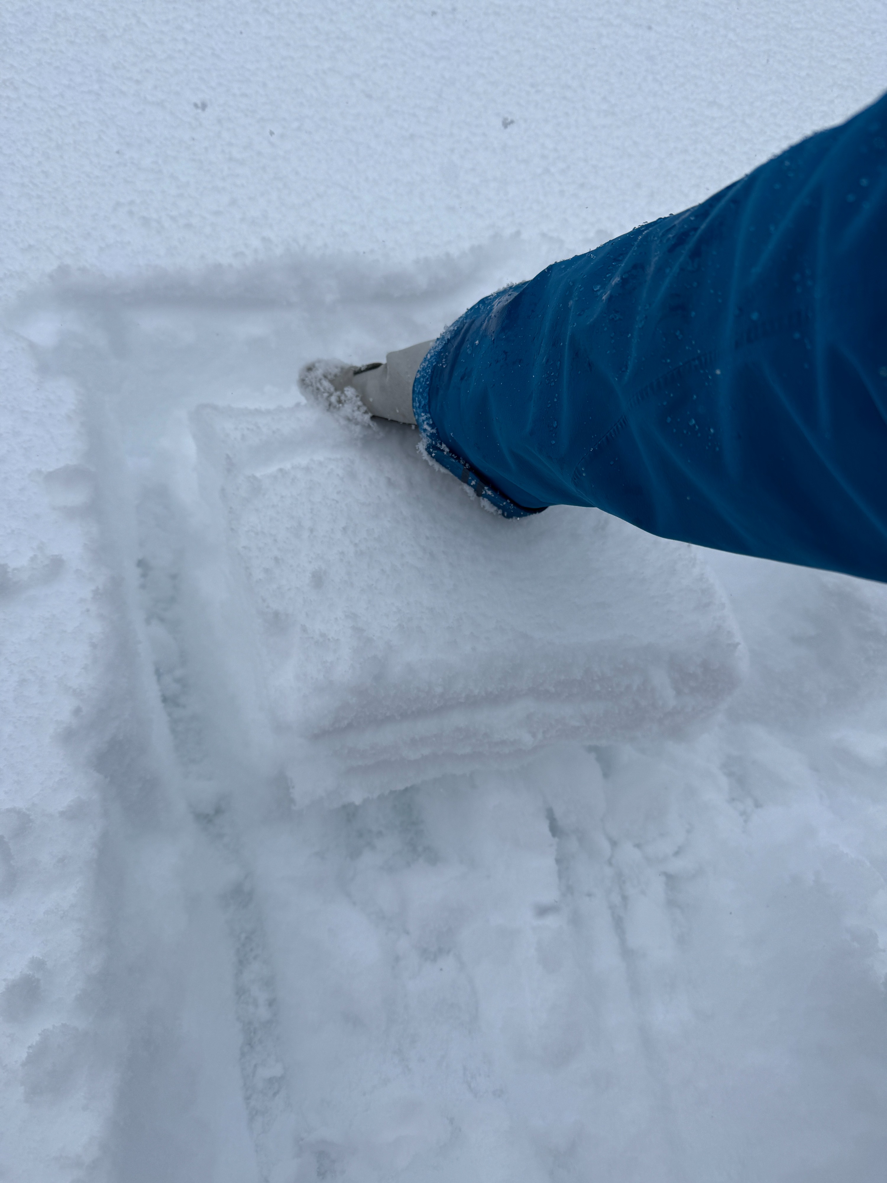
W-N-E Aspects: There was more variety of old snow layers on these more shaded slope, but a common profile was observed. We found 1mm weak sugary facets at the base of the new snow. This weak layer was typically only an inch (2-3cm) thick and just above the first thin crust. More, larger (1.5mm) facets were found under this first crust all the way down to a much more junky 2nd crust. If this sounds a but confusing, just think facets, crust, facets, crust... sometimes this pattern repeated a third time. Compression tests in multiple locations failed suddenly (SC), but ECT's in the same areas failed but did not propagate. In Propagation Saw Tests the crack shot ahead of the saw, but then the slab fractured. Taken together it makes me think the snow is weak, but the slab hadn't adequately developed to promote propagation.
Below the first foot (30cm) or so of snow, no layers on concern were noted.
Blowing snow and fresh small wind slabs were noted along Hogback Ridge between 1st and 2nd peak. These failed easily but were only about the size of a kitchen table. Similarly sharp fresh, but small, corncies had developed.
On our ski out, the snow changed dramatically around 5000ft and became much more wet and heavy. At Pass level mixed precipitation was falling at about 3pm.
Avalanche
No new avalanches were observed.