
Quick report
Well, I guess Kendall technically "goes". But man, that was a strugglefest today. Holes, heavy wet snow, and creeks were the main culprits for my dismay. Rain didn't help..
We started the day in moderate snow showers in the parking lot before skies cleared as we made our way up the unconventional, but adequate enough skin track. I was happy that I didn't have to break trail to start the day. It was deep, wet, and arduous. Even with a few folks in front of us, it was slow going and many of the "usual" paths don't go right now. Who knew there were so many little creeks out there? The upper log at Commonwealth Creek looked like the better option for those who are looking to head further up valley. The low path across the waterfall area worked out better on the way up than when we tried to take the high route on the way back. Again, open creeks.
We set our own track from the bottom of the slide path up to the top of the trees. Again, slow going in the heavy snow, with ski pen knee deep in places. I dug in one of the meadows near the top to get some baseline information for the area and check-in on the storm snow. During this time snain started up, which eventually just became rain. The slide path itself skied decently enough, kind of heavy and surfy. It was a shame that we missed the drier snow. Jumping on test slopes on the way down I was able to push snow into push-o-lanches. As we descended, the skiing got worse and worse until we were in full on wallow mode on the way out. What typically takes 25 mins or so took an hour and a half to get back to the car.. in the rain.. and the mank.. woof.
Can't say I had a lot of fun, but can say that you can make it in and out that way without taking skis off. Going via the Knob might be better?
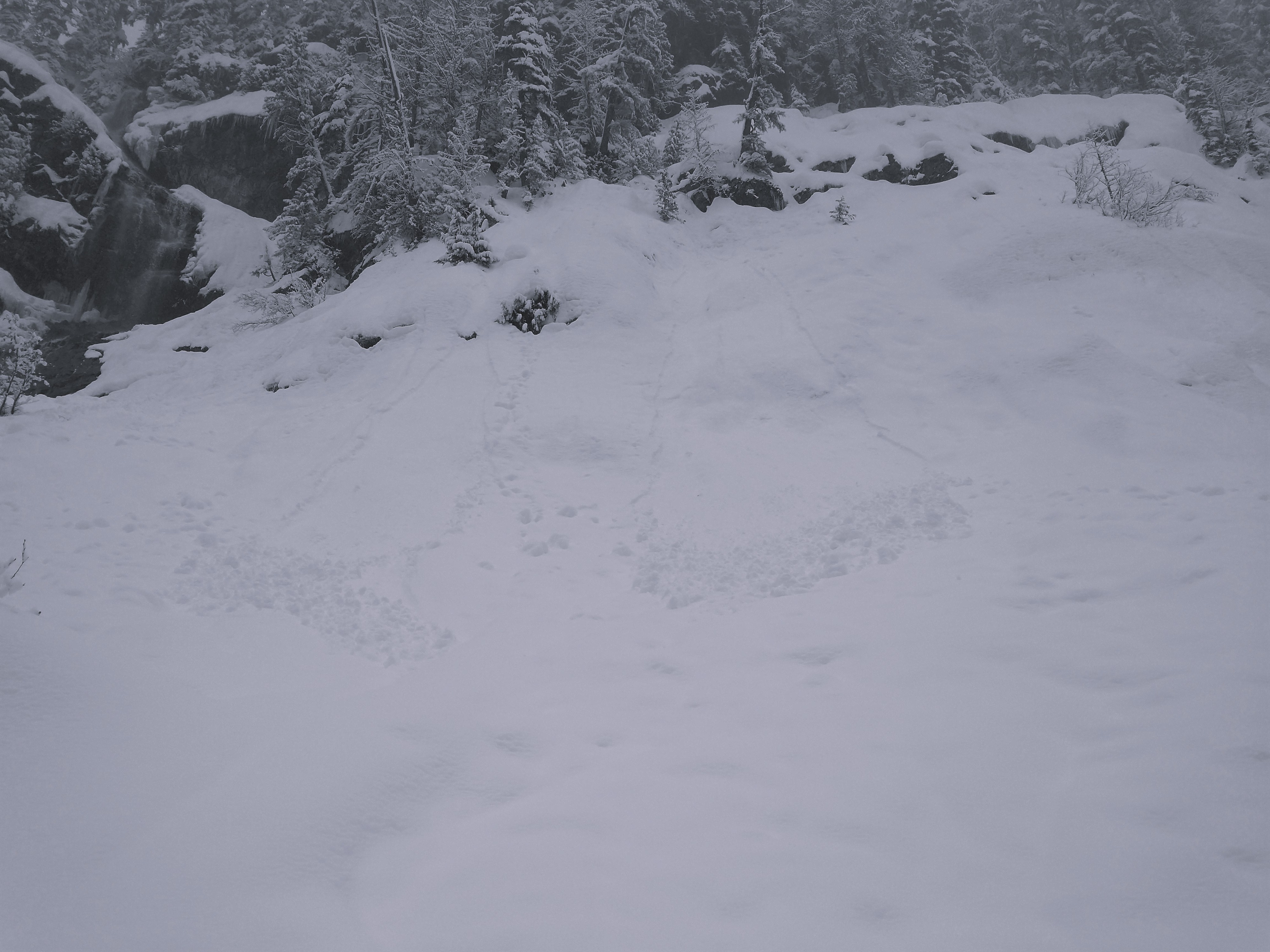
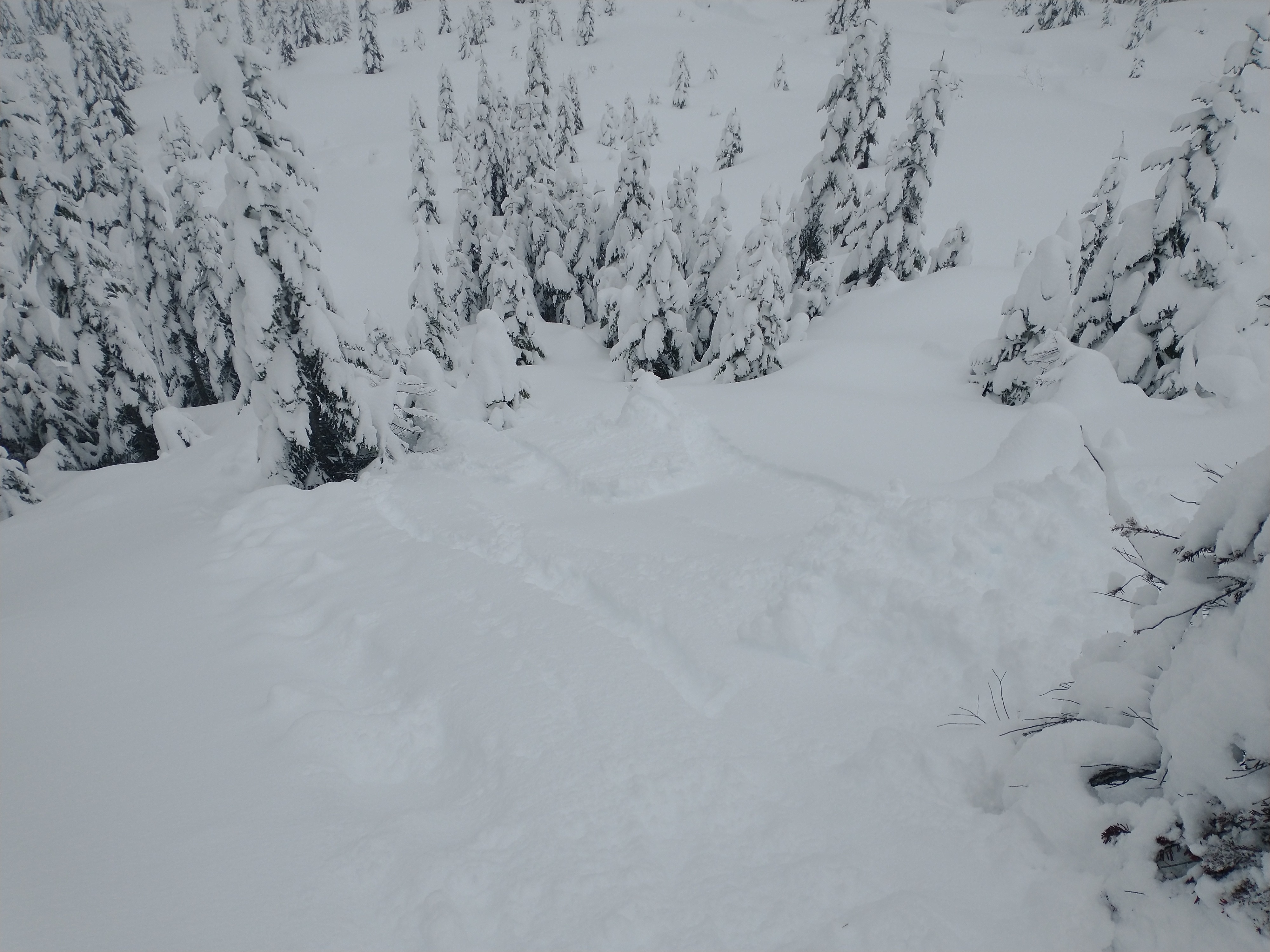
Created some push-o-lanches on steep test slopes. On a bigger feature, it would likely have grown into a full-sized avalanche.
Weather
Mixed precipitation day - dumping snow, snain, and then rain. Very little wind, though.
Snowpack
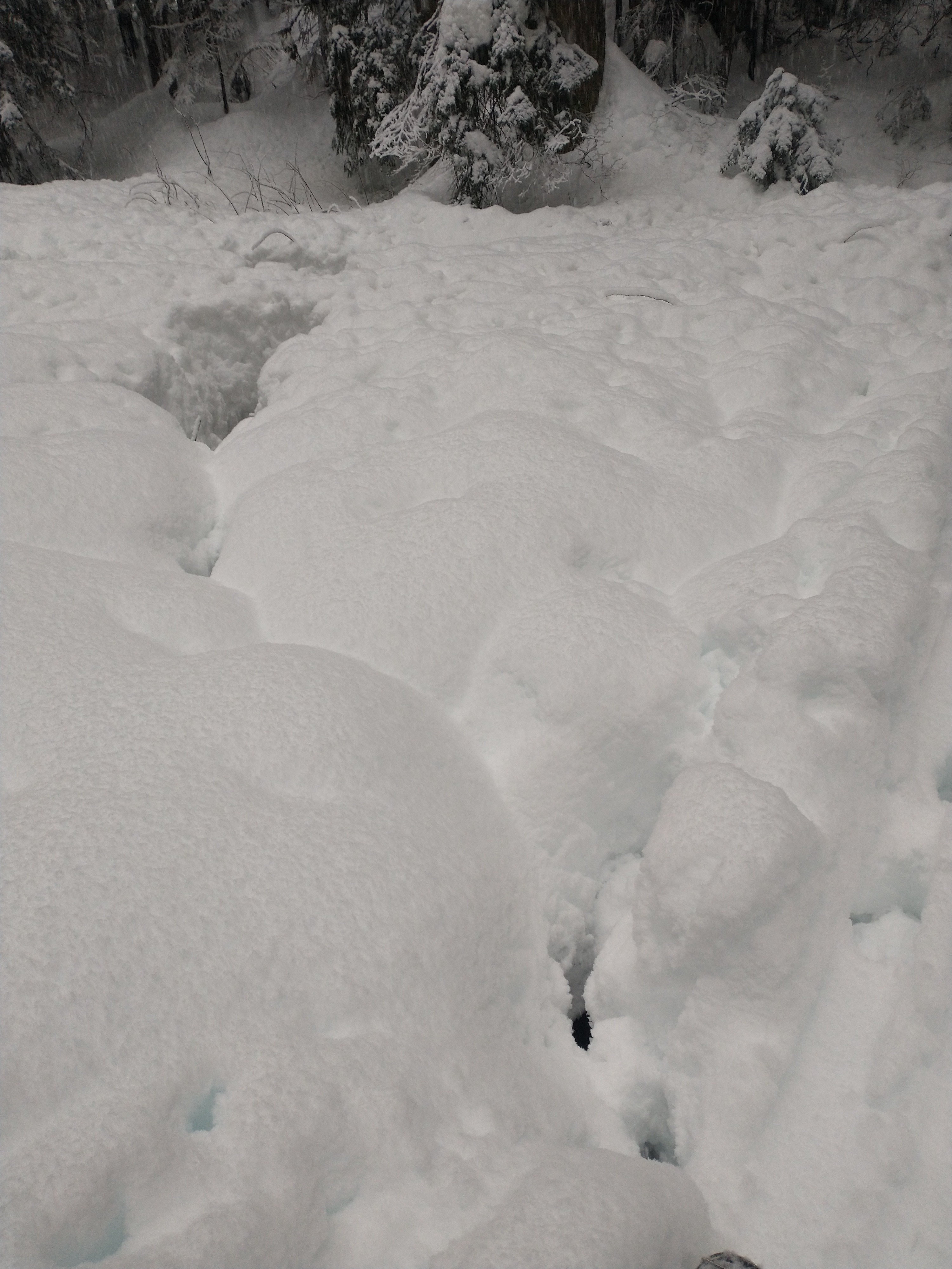
Down low - The snowpack is a hot mess. Punchy and wet with holes and open creeks everywhere. But hey, at least it's not ice or dirt. Plenty of alders and other bushes still sticking up, but overall coverage is vastly improved. I took off my ski at one point and plunged several feet right down to the ground.
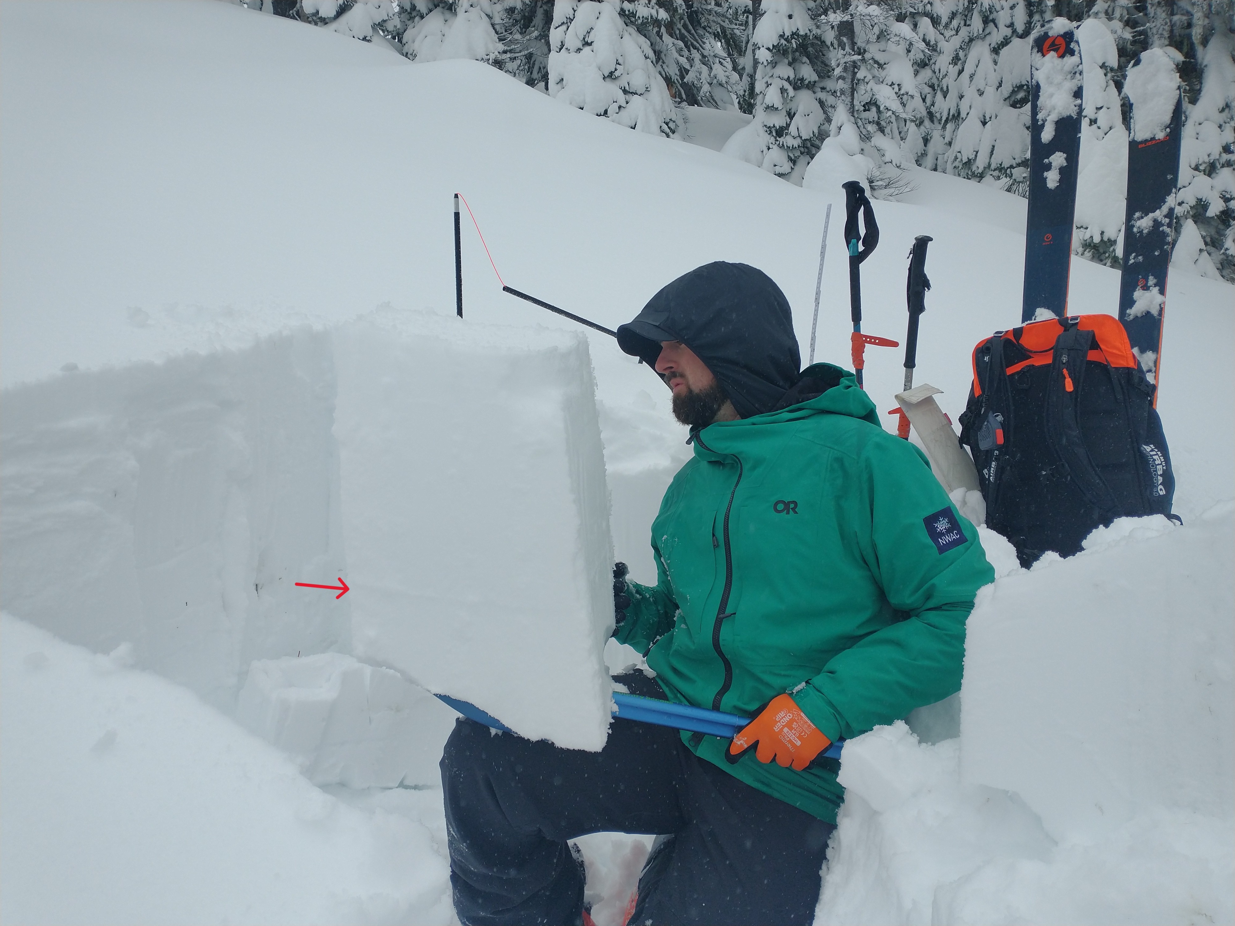
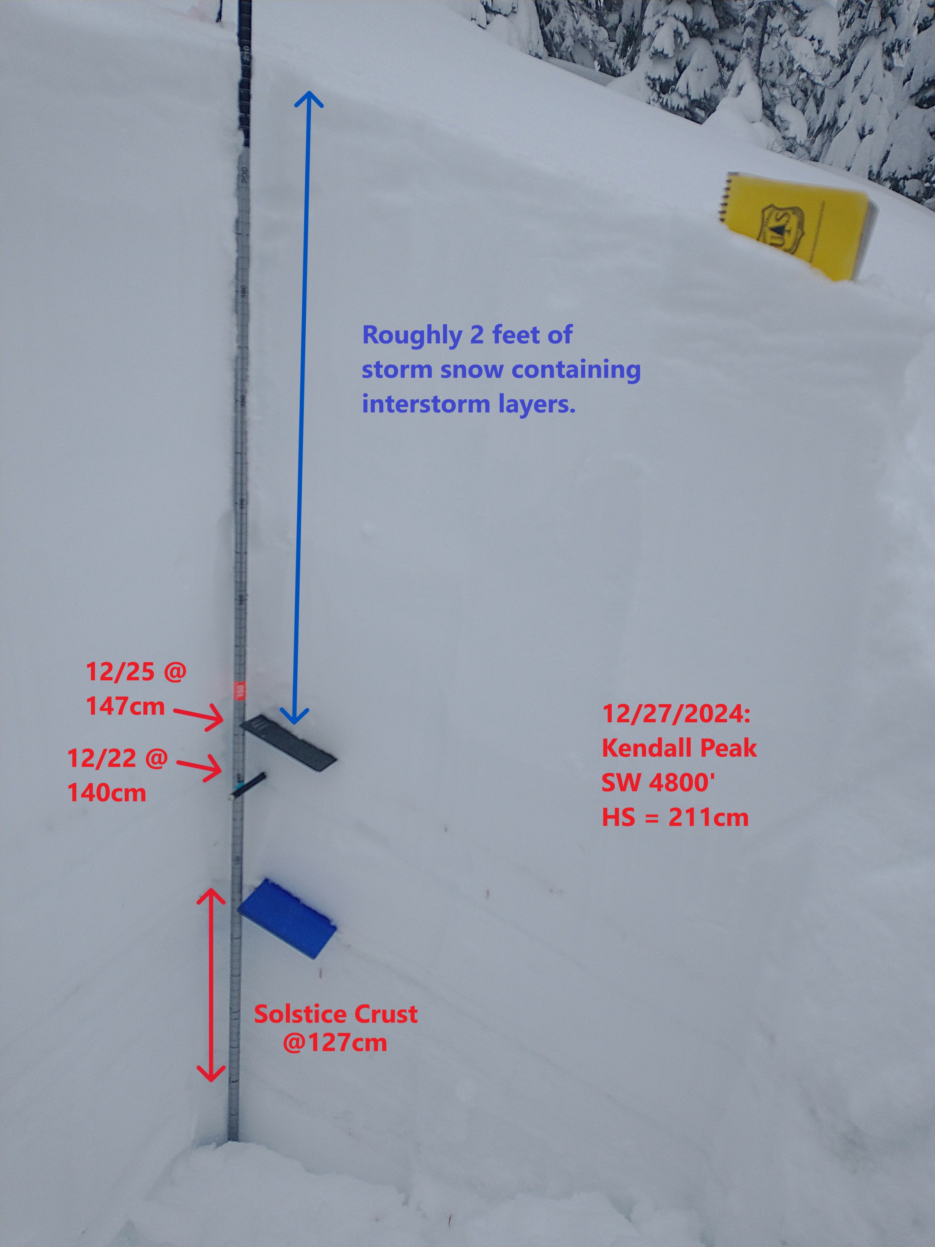
Middle elevations - snow got progressively drier as we asended. Seems like around 4000' we started to think we may actually get some good skiing in. By 4800 feet at the top of the slide path, the snowpack was deep and there was nice light snow on the surface. Sadly, it got wet before we could descend. Digging at 4800' on a SW aspect, I found an HS of 211. The Solstice Crust was at 127cm, so 2.75 feet (84cm) below the surface. Multiple interstorm layers were identified with small column tests, shovel tilt tests, and shear tests. Although some of these failed during an ECT, they did not propagate. The most consistent interface was about 1 foot (32cm) below the surface on a density break.
Avalanche
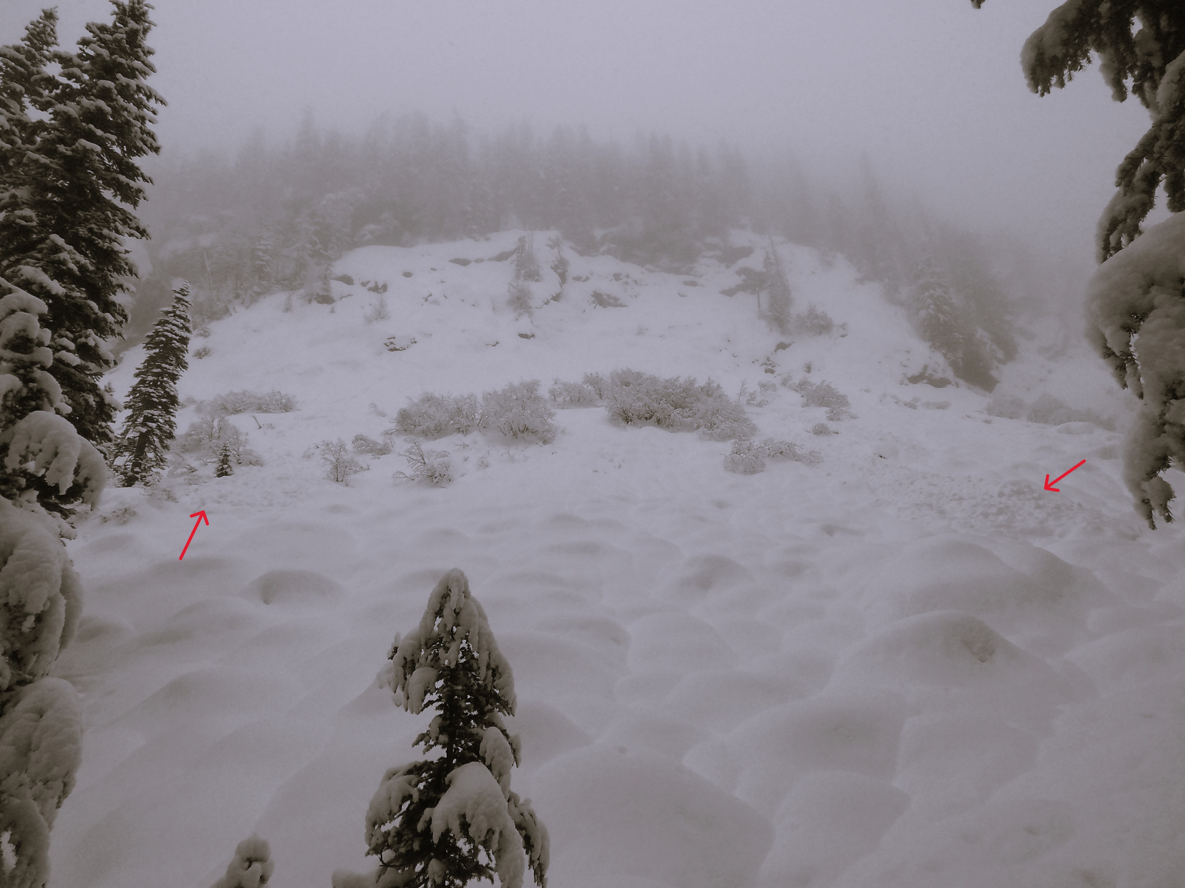
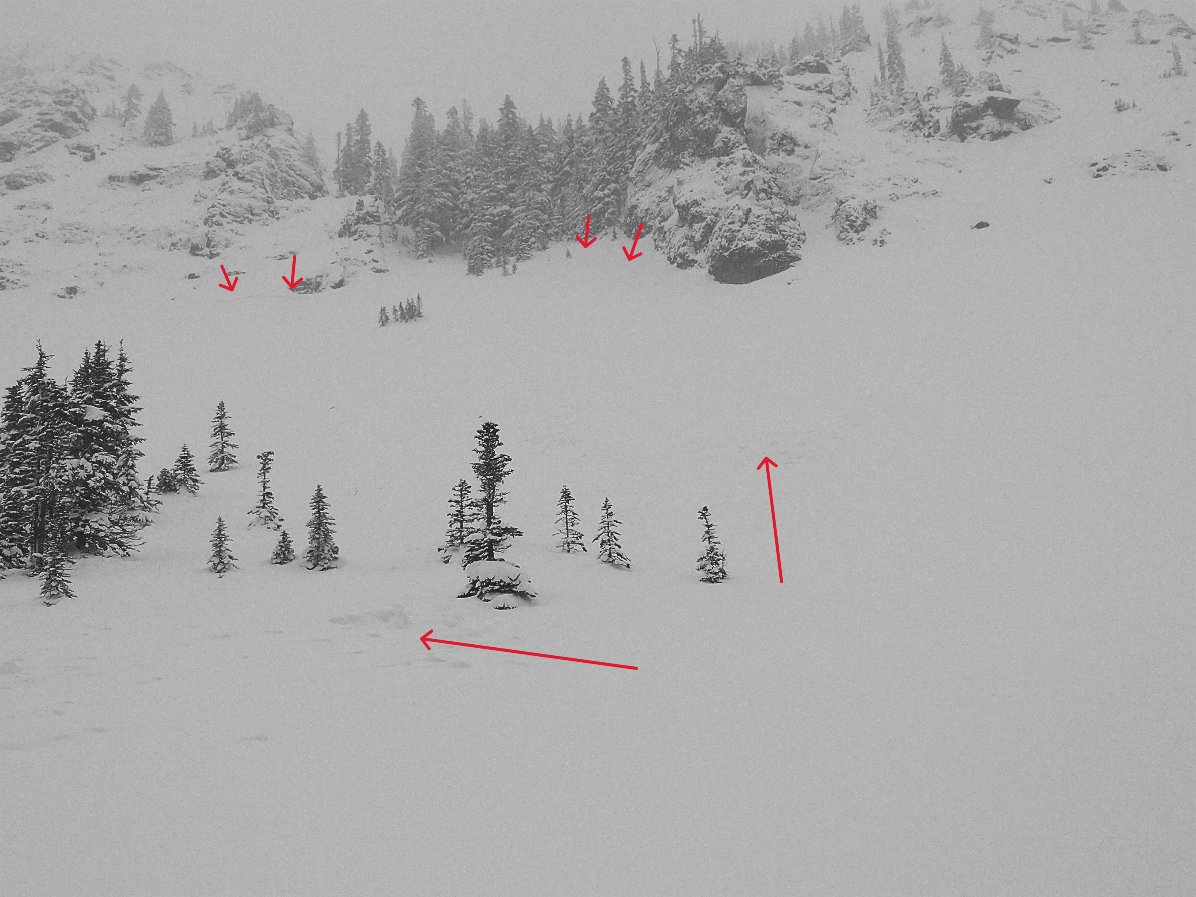
Old avalanches: We saw a few debris piles by the waterfall. Looked like some shallow slabs, but viz was difficult at that point in the morning. Later, we saw slabs at the base of rocks on Kendall Peak. They are filling in quick and their debris piles are getting covered up. New avalanches: On our way out, fresh loose avalanches naturally failed by the waterfall