
Quick report
In celebration of the solstice, I decided it would be wise to try and put in the uptrack to source lake on the north side of the South Fork of the Snoqualmie. Adventure ensued.
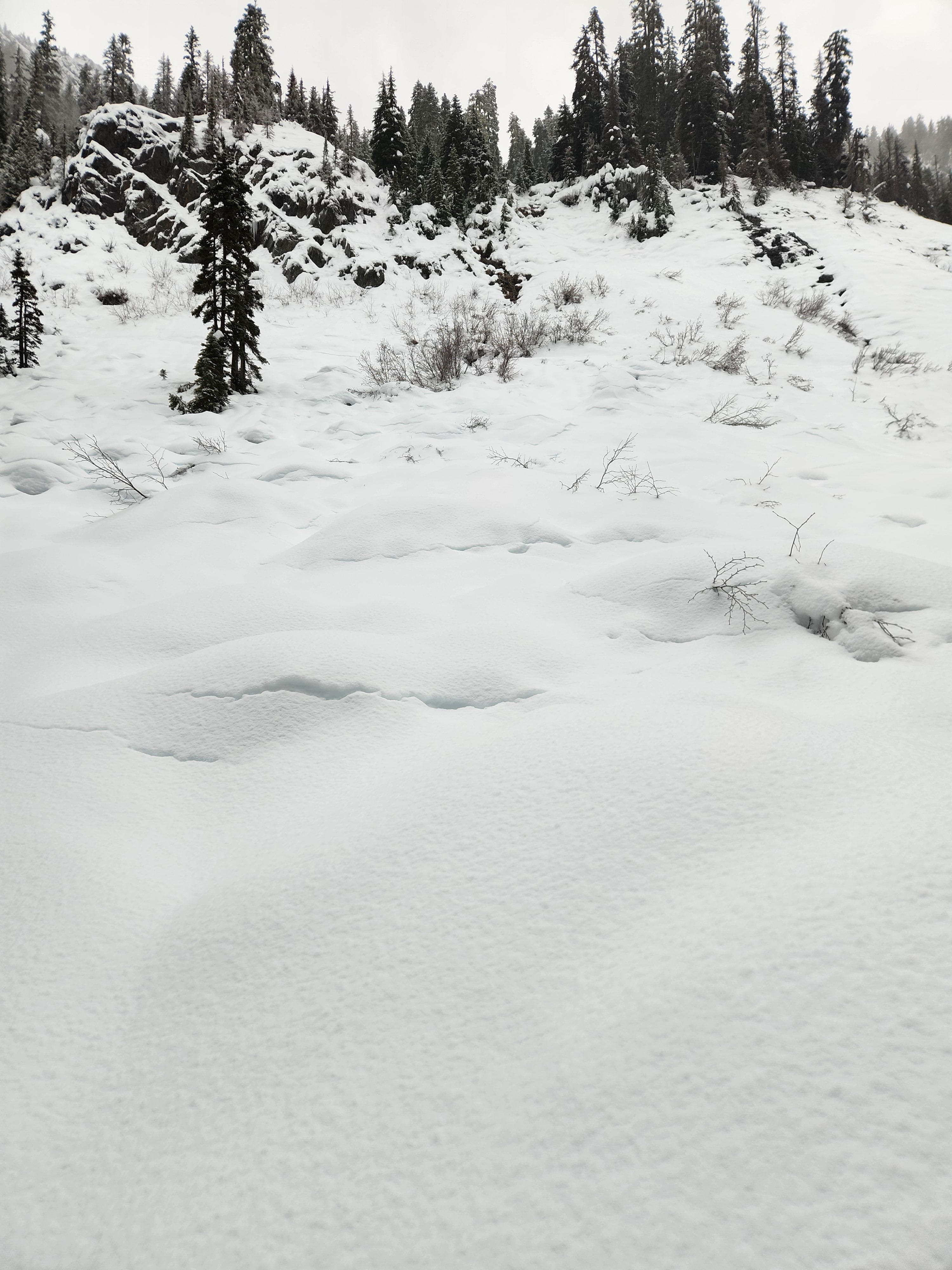
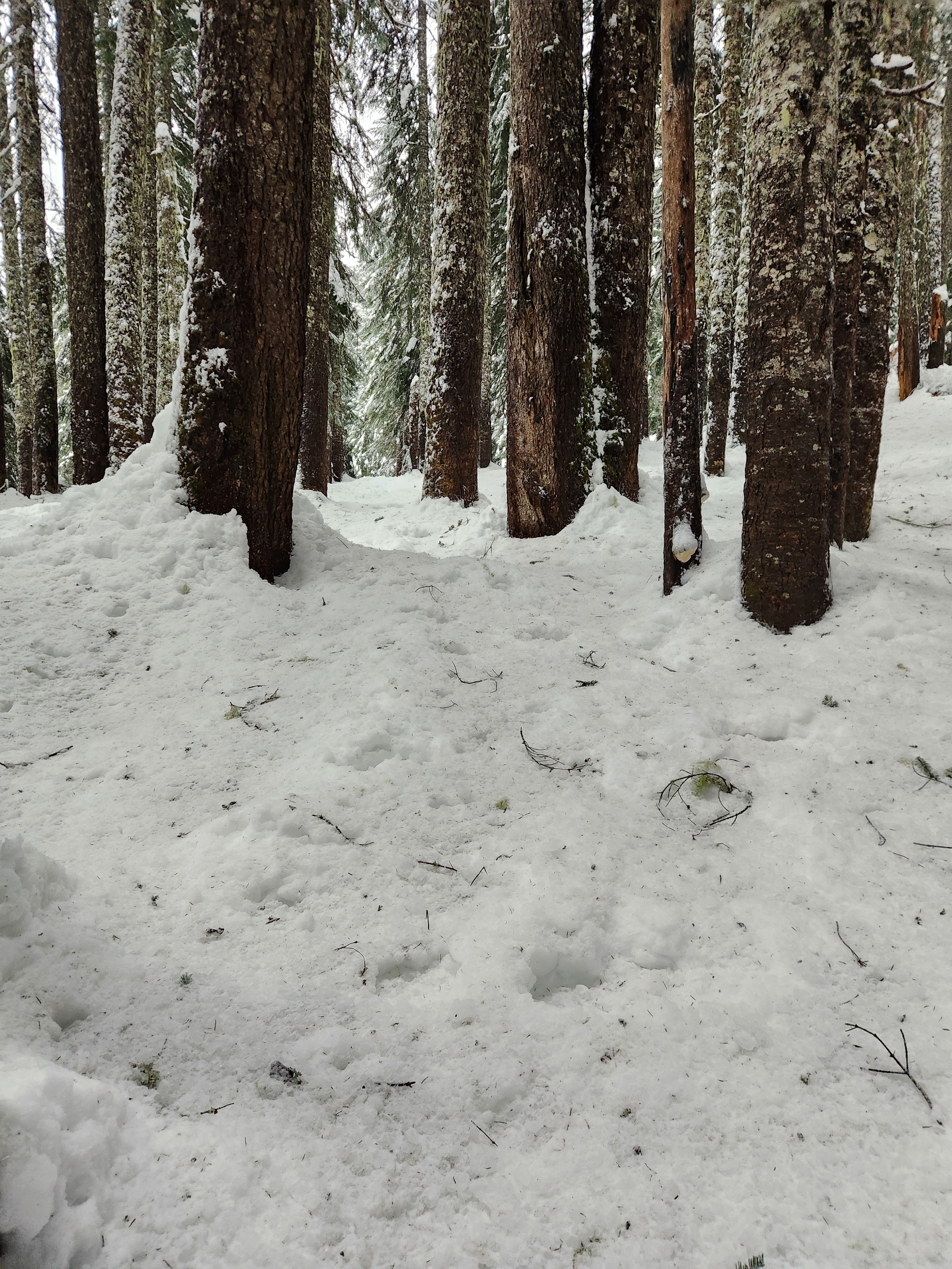
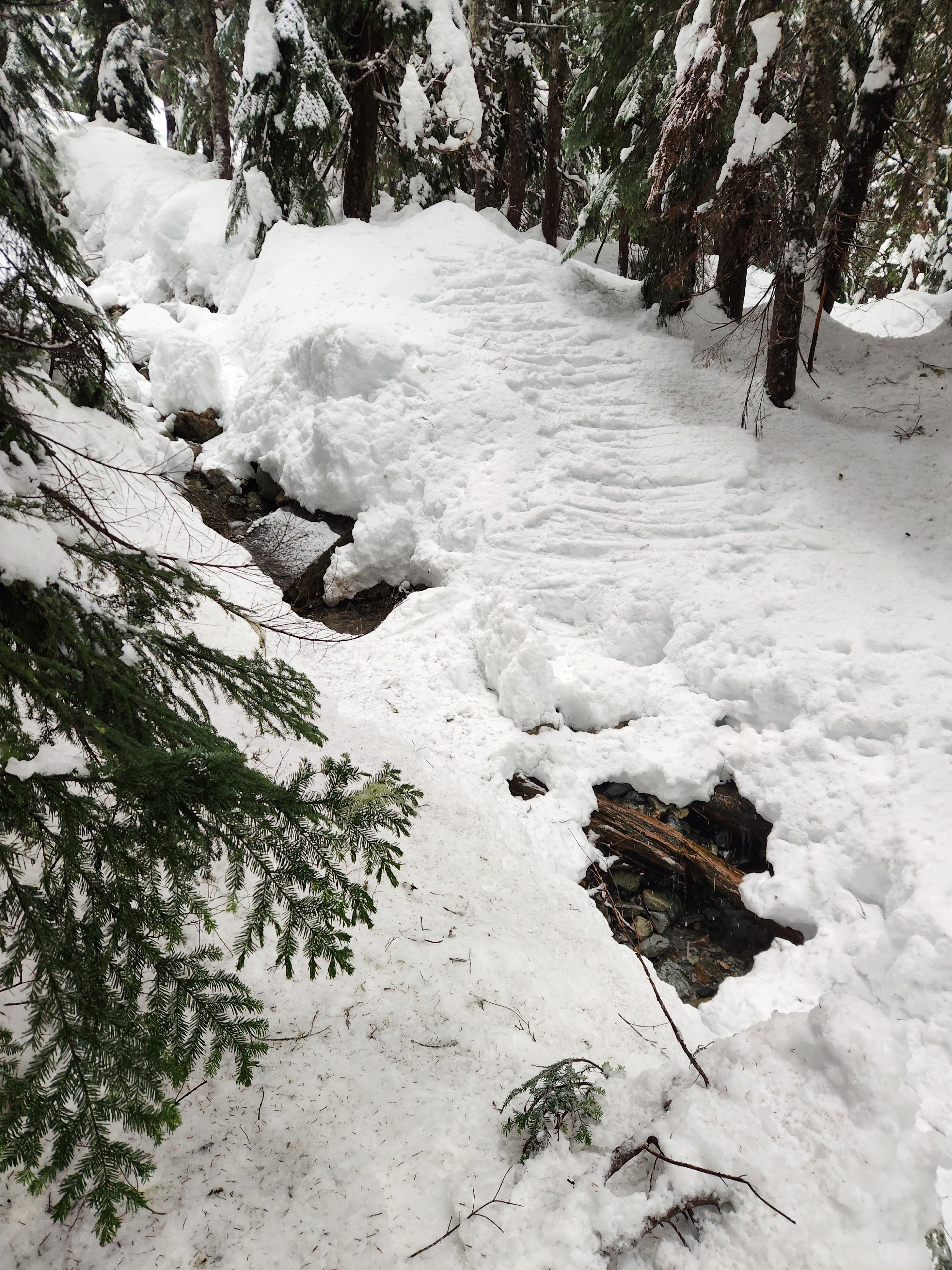
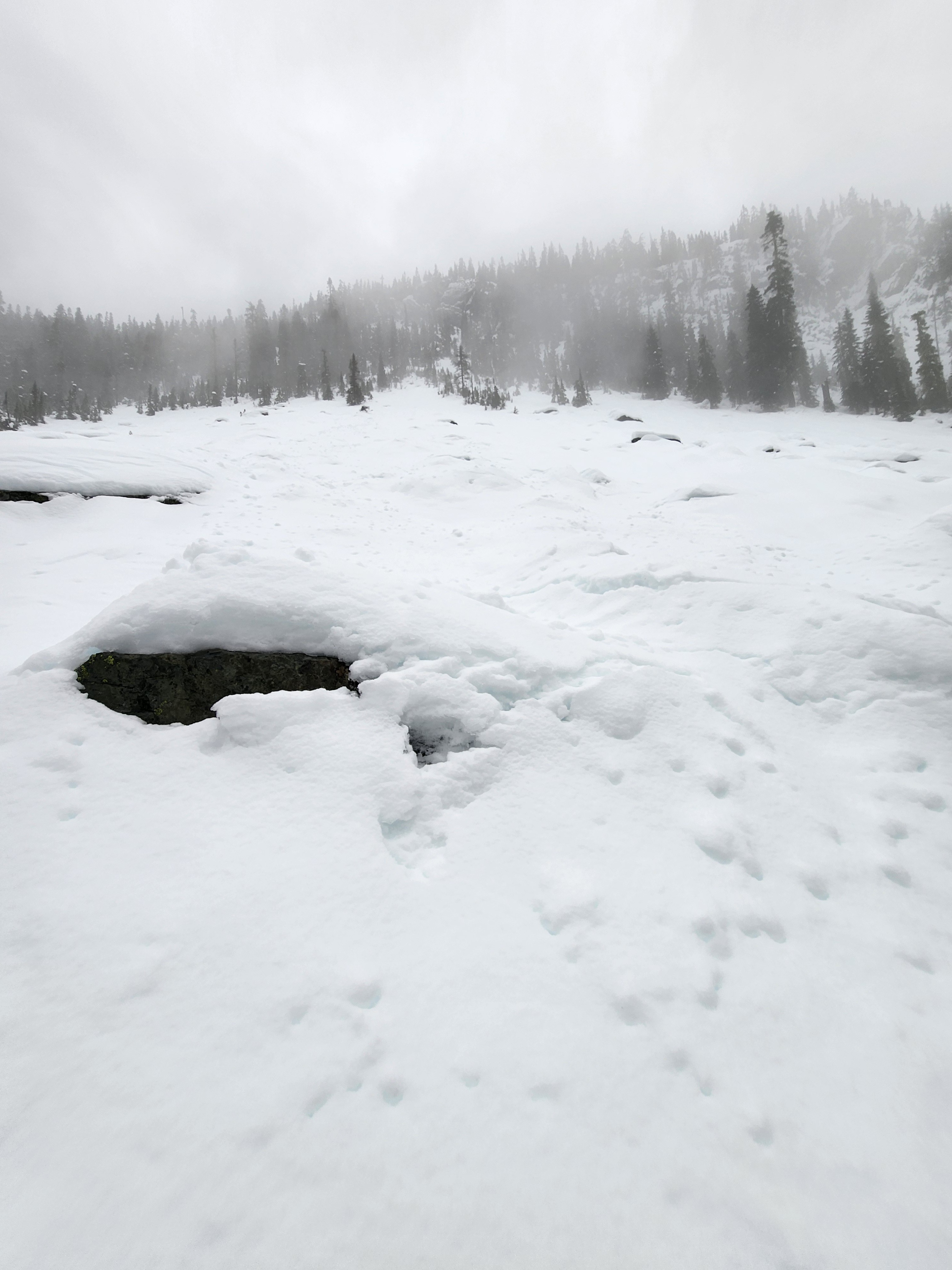
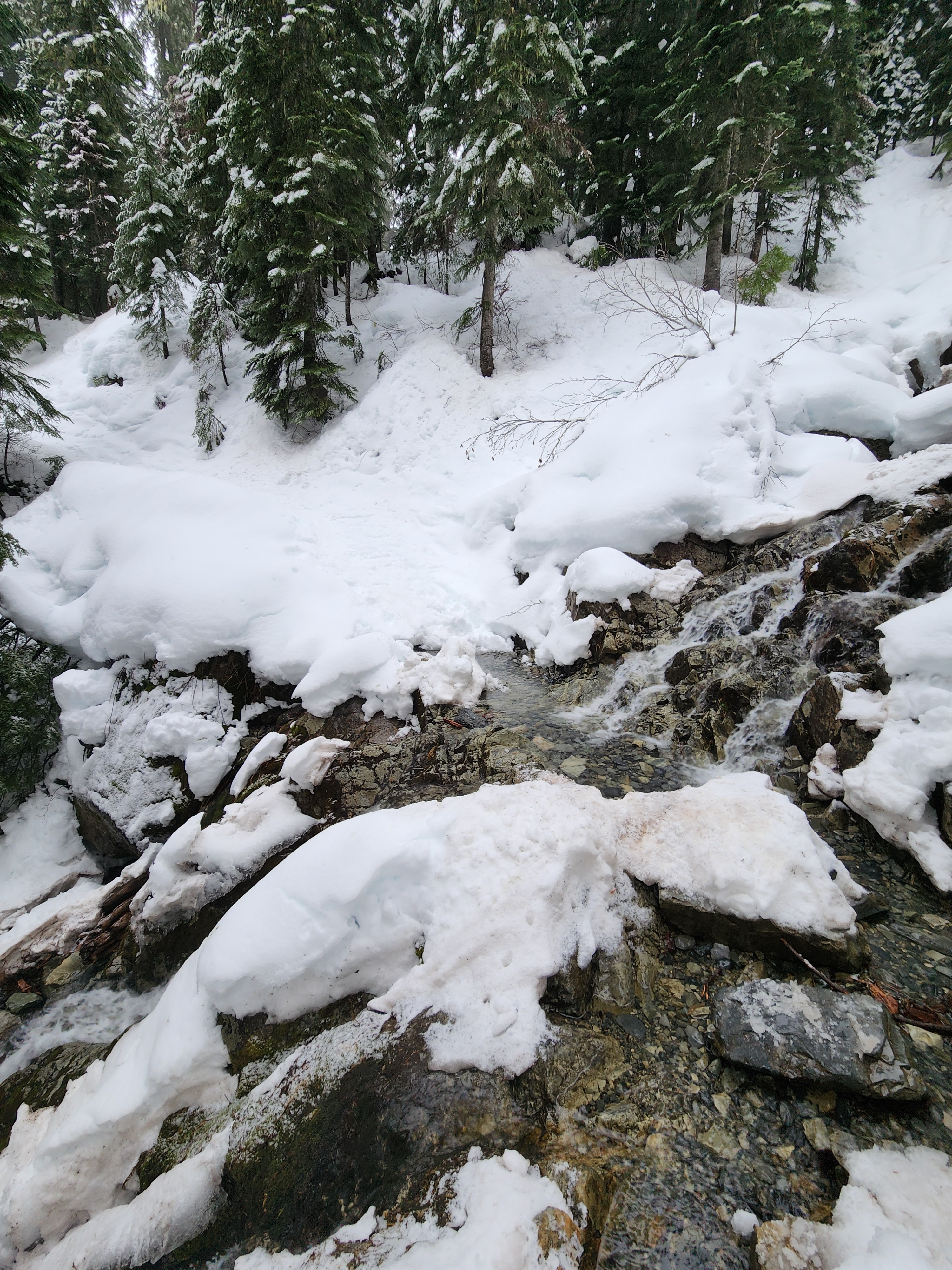
It is hard to overstate how challenging and slow the travel was without a well-worn track. Outside of the woods were hummocks, runnels, settlement cracks, and a truly incredible variation in crust supportiveness. Often, I would punch through the crust in one location only to find it was too hard to get my ski tip back out and above the surface. In the woods, the tree bombs and refrozen debris filled chunder made for another level of difficulty. Nearly every creek was open and crossing was time consuming, until a final creek was borderline impassable. After 250' vert in 2 hours, I ascended to the summer trail and headed for the exit.
The snowpack has not yet locked up. It is warm and wet below the the surface crust and yet another day of rain probably didn't help that situation much. While the likelihood felt low, the potential for a surprising and big wet avalanche shaped my movements and I didn't linger under any path, nor would I have felt comfortable in steep terrain.
Weather
- Cloud Cover
- overcast
- Rain Elevation
- at least 3500'
- Recent Snowfall
- 1
- Snow Avail For Transport
- none
Snow, then rain, then snow, then steady rain. Limited visibility and warm temperatures.
Snowpack
HS @ 3500' - 85 cm
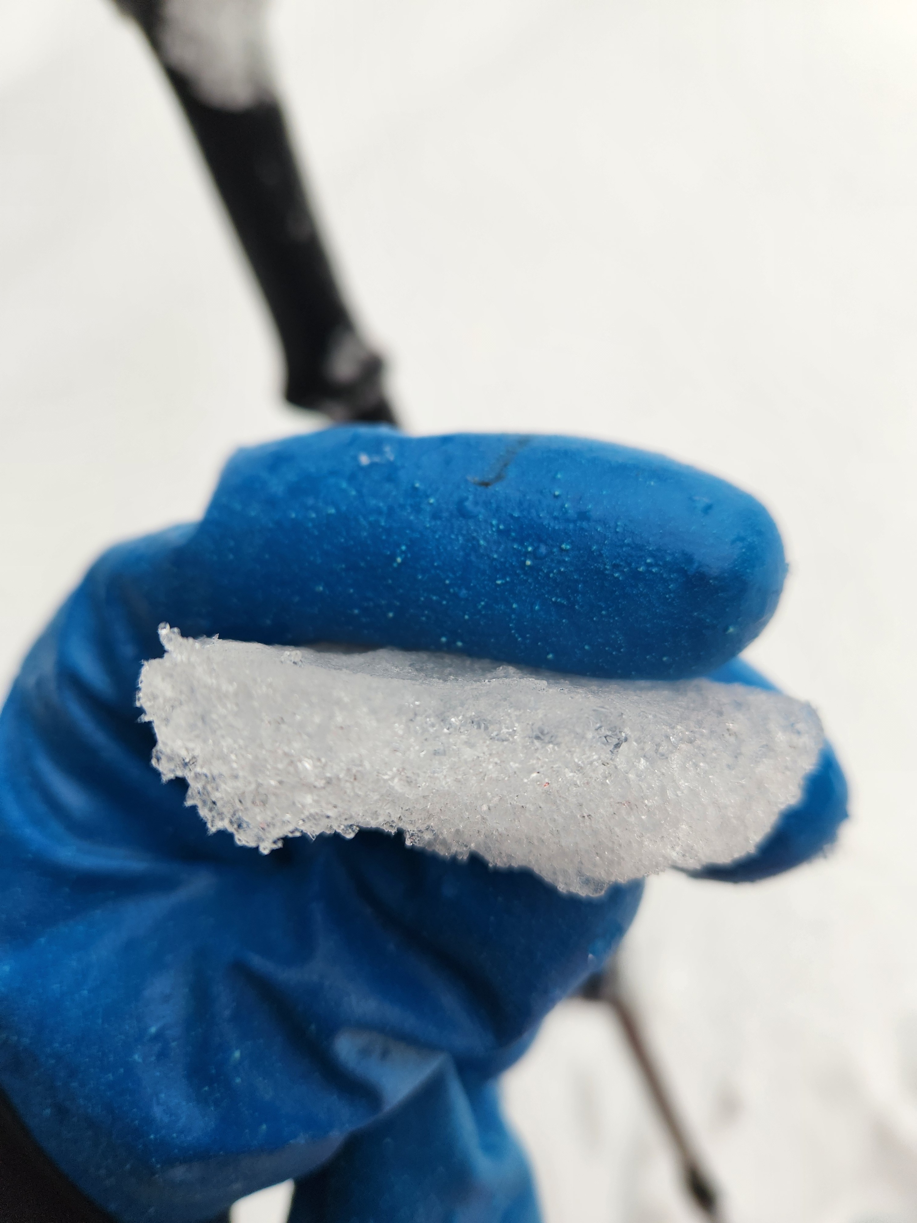
There was about 1/2" of wet and creamy snow capping the surface crust. Surface crust was about 1/2-1" thick, and featured a translucent ice lens capping refrozen melt forms. It was knife hard and supportable in some locations, and breakable and weak in others. The upper 5-10 cm of the snowpack below the crust was quite wet. Travel was incredibly ardous which didn't leave much time for evaluations of the snowpack below that depth.