
Quick report
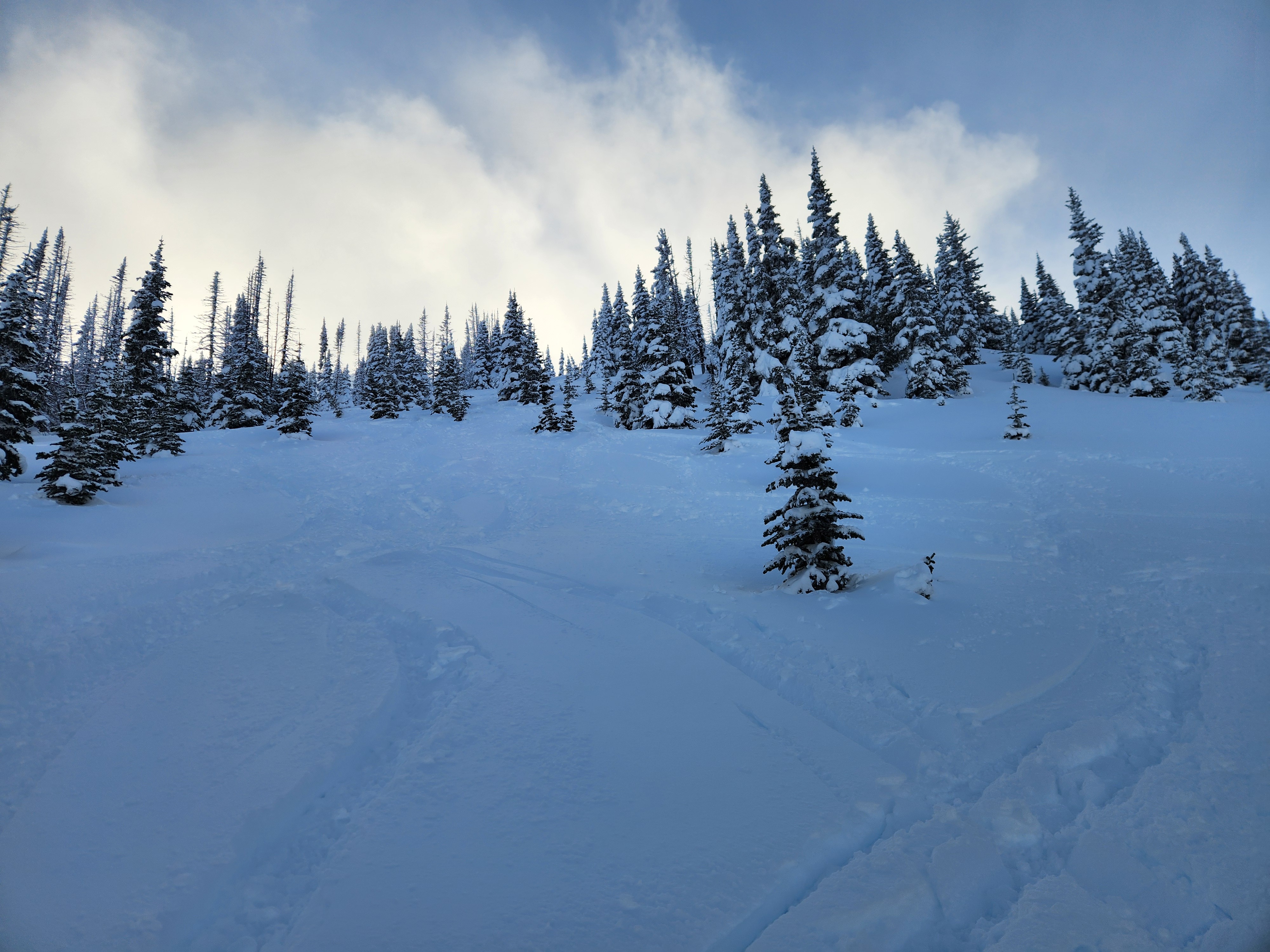
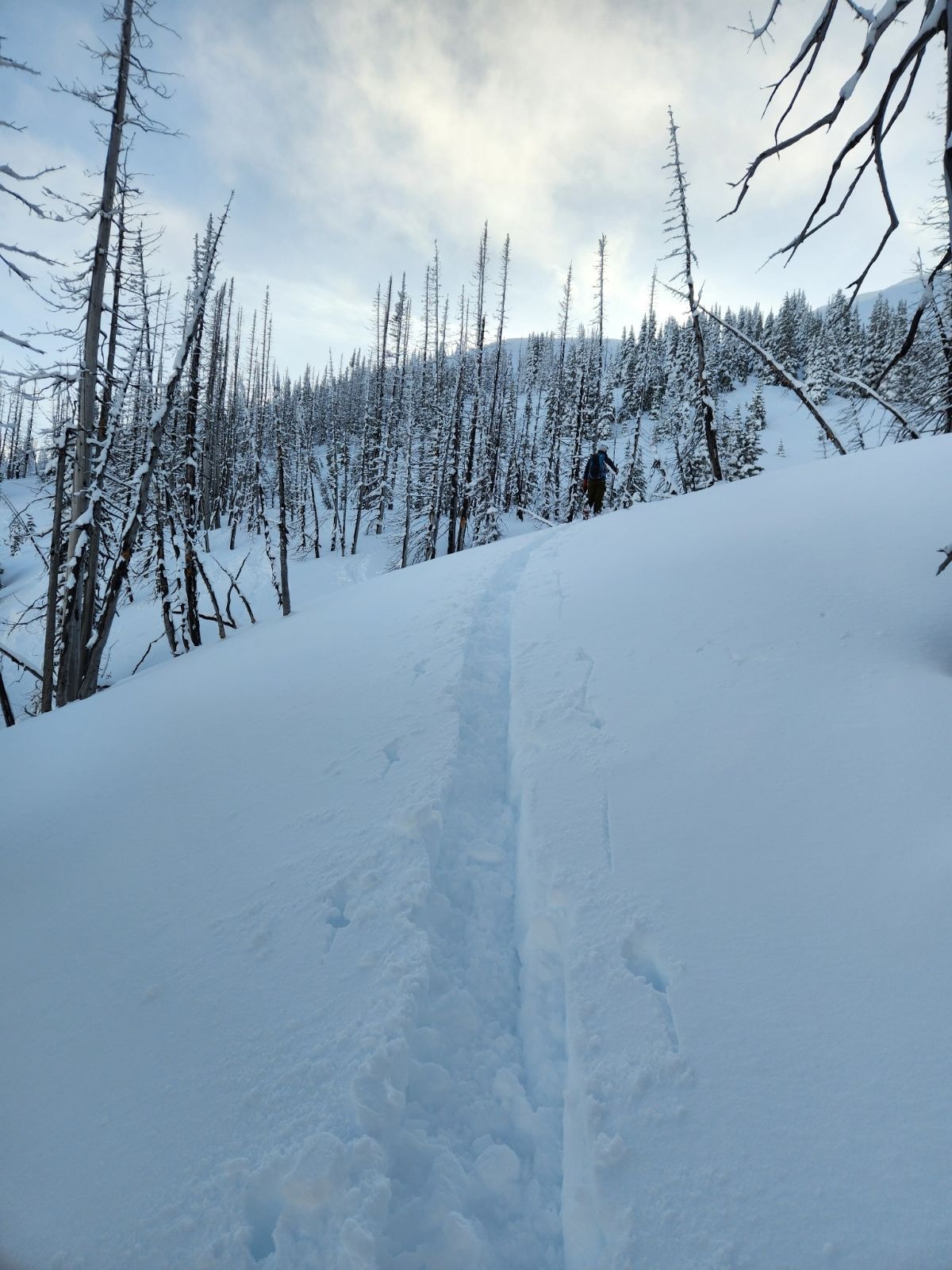
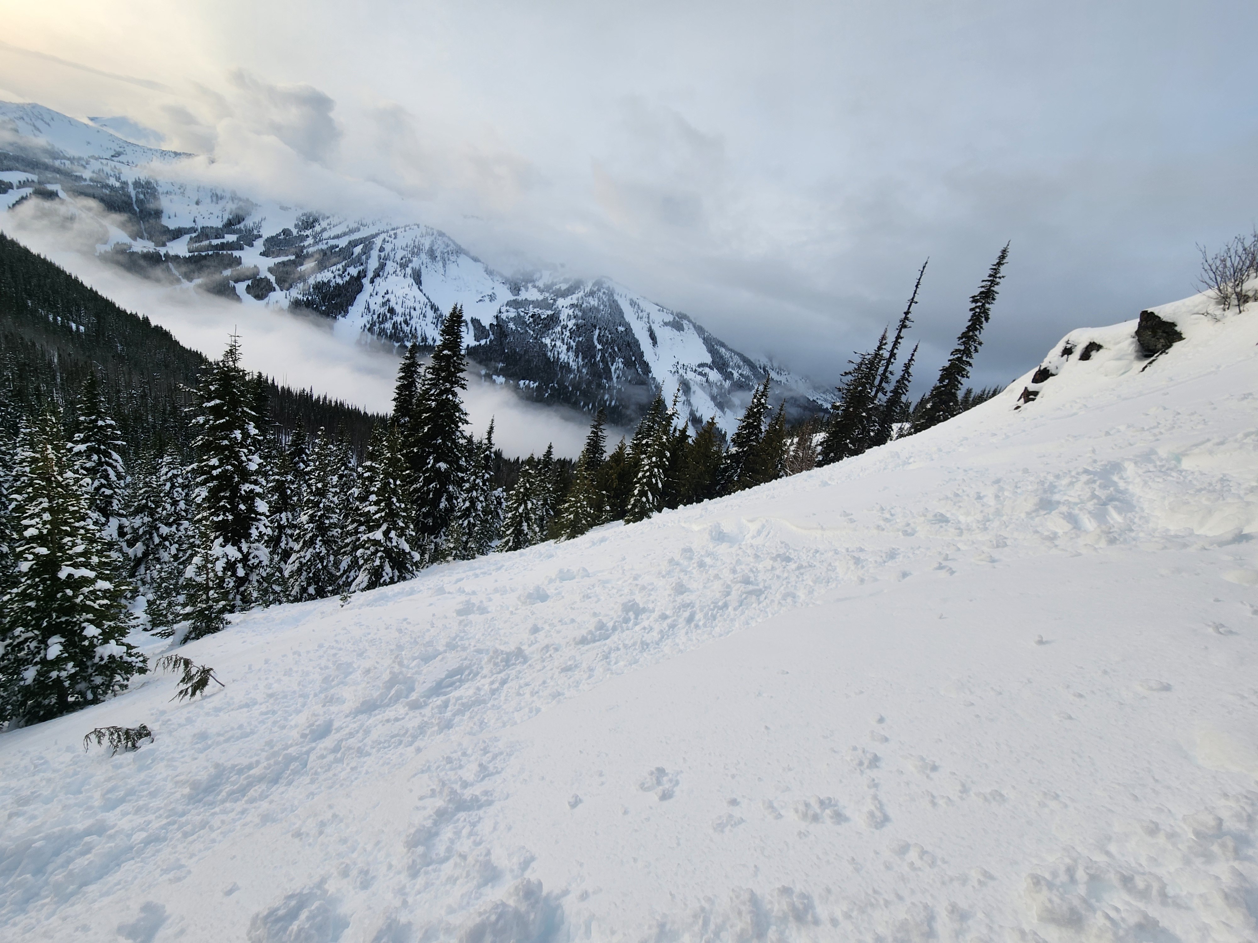
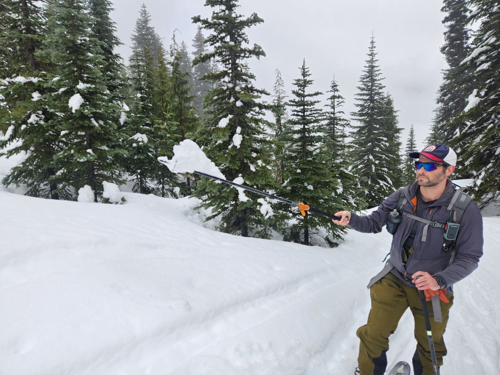
The multi-hour traffic jam on the Crystal Mountain Road allowed the rain to finish falling before we started our tour at 10:30 AM. It was a tail of two different worlds today, one below 5500' and one above. Below 5500' it was warm, wet, and felt like spring. We saw evidence of rain or very wet snow up until the 5500' mark. Trees had shed, and were continuing to shed their snow, and the snow was sticky and wet. Above 5500', the 6-8" of storm snow, though still high density, was dry and fun.
At the lower elevations, we saw multiple small wet-loose releases which didn't entrain much additional snow. Many of these released due to rain-on-snow, as they had slid before any sun breaks later on in the day. In the early afternoon, we also saw some solar-induced wet-loose releases at higher elevations as the sun began to shine intermittently.
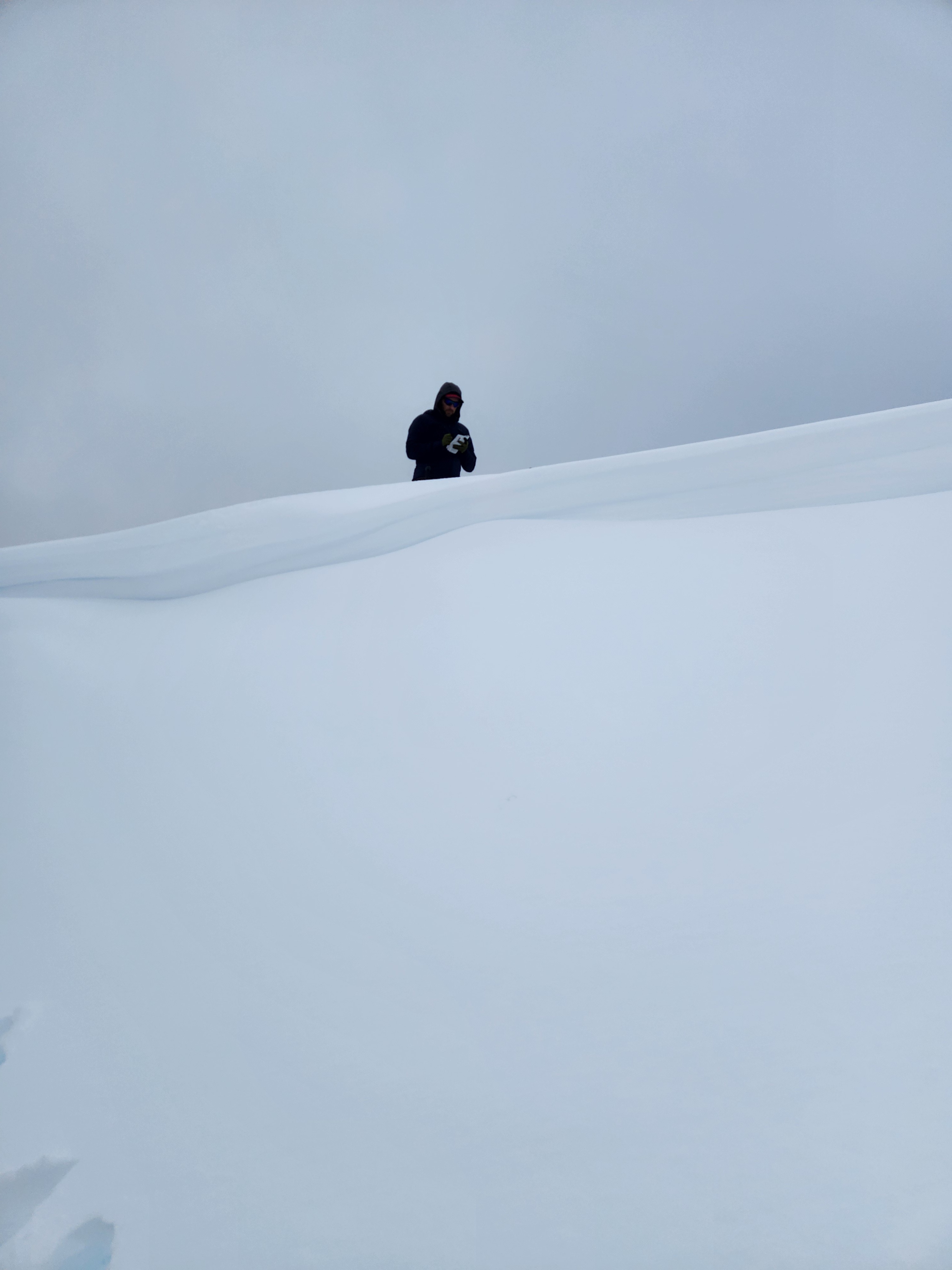
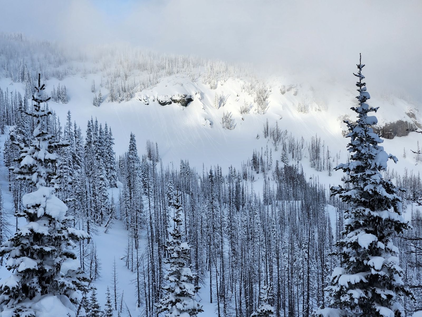
In the dry-snow zone, we observed no signs of instability. Uptrack tests failed to produce, hand shears were very stubborn, small steep test slopes were not reactive, and cornice cuts did not produce results in wind-loaded terrain. In general, the new snow was well-bonded. Our ski descents and ski cuts yielded no notable results.
We targeted the 1/2 interface with snowpack tests. The layer showed a significant improvement in strength from a few days ago and produced no propagating results in extended column tests. We were pleased with the overall right side up and well-consolidated snowpack that we observed in Cement Basin.
Weather
- Cloud Cover
- overcast
- Wind Loading
- previous
- Rain Elevation
- 5000-5500
- Recent Snowfall
- 15-20
- Snow Avail For Transport
- small smounts
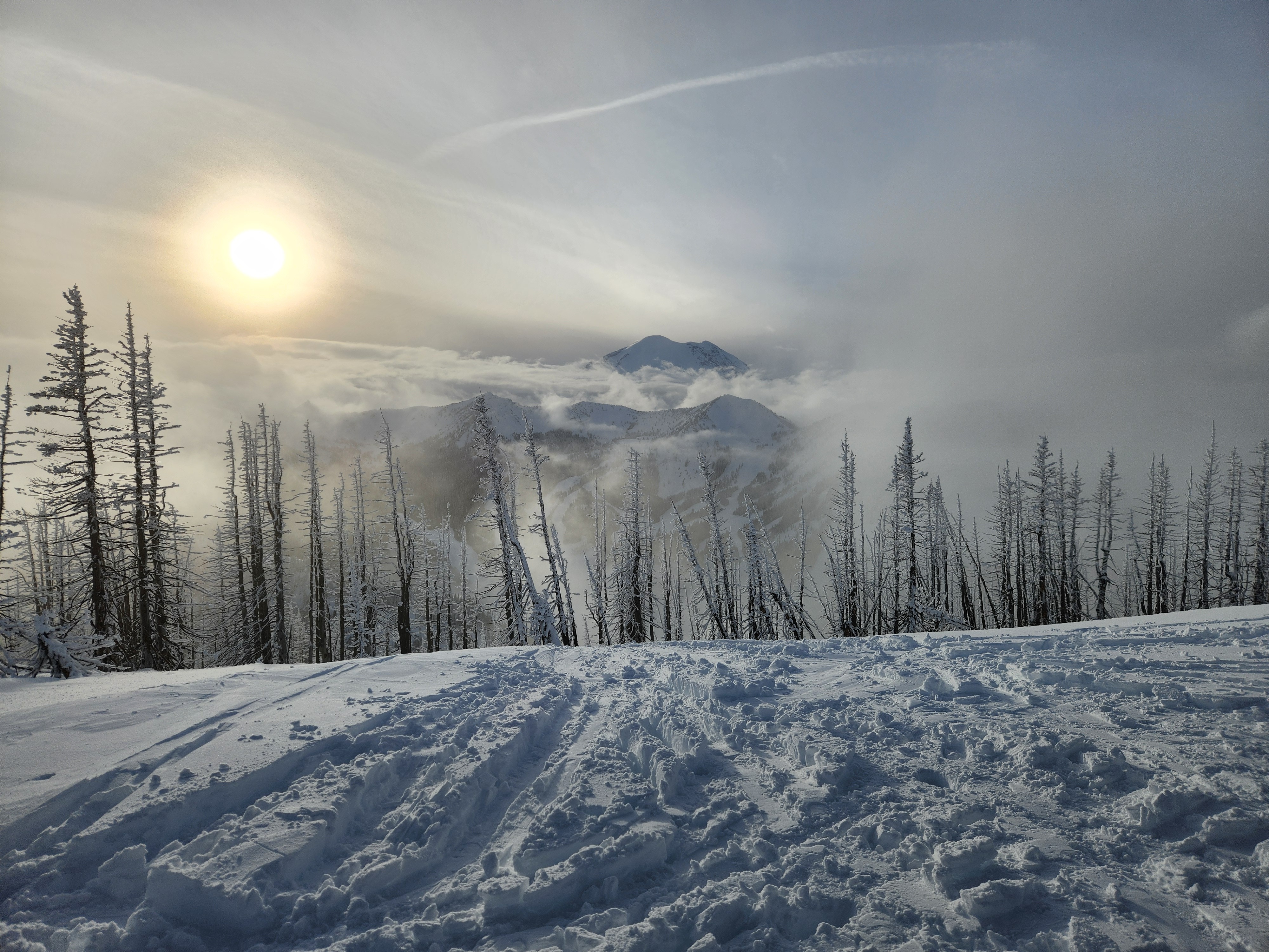
Calm winds with overcast skies and a low cloud deck. Very warm up until 6000' or so. No precipitation from the start of our tour at 10:30 onward. Sunbreaks later in the day.
Snowpack
At the lower elevations there was 3-4" of new snow. Above 6000' we found 6-8" of storm snow. Ski penetration above 6000' was about 4-6".
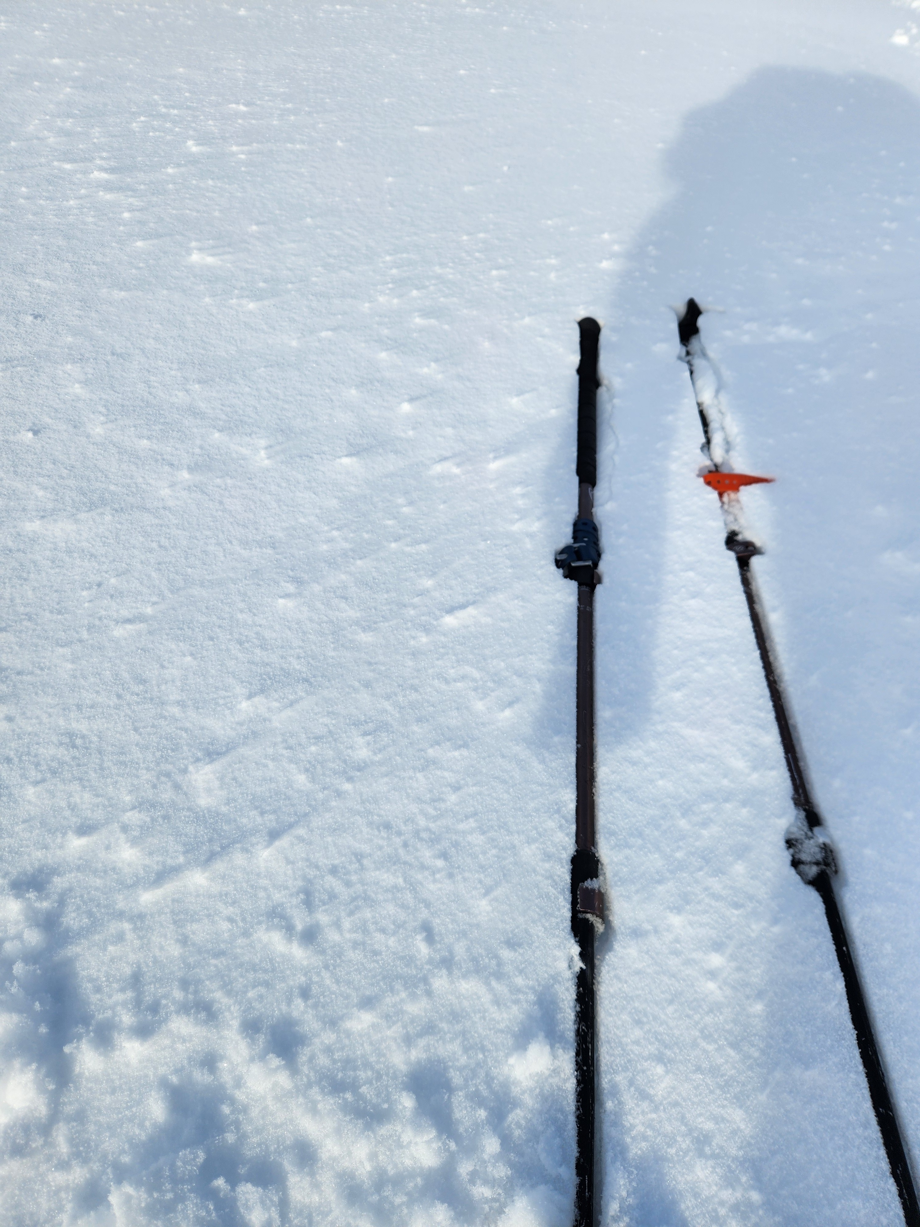
The surface snow was wet until about 5500', transitional from 5500-6000', and dry above 6000' on non-solar aspects. Even above 6000', the snow was high density. We observed signs of only very light wind effect in the East Peak/Cement Basin area.
We dug a pit in Cement Basin to target a layer (1/2 interface) that showed propagating test results on 1/3. The layer in question was a very subtle, friable, and thin (~5 mm) melt freeze crust. We found that layer down 38 cm, but extended column tests did not propagate (ECTN17, ECTX). In general the snowpack was right side up and well-bonded. Hand shears were stubborn, test slopes were non-reactive. We jumped on a wind-loaded test slope below a cornice and found no reactivity. We also cut multiple cornices that did not yield any results.
Cement Basin - East Aspect - 6230' - 28 degrees
HS 260 cm
260 - 245 - 4F/1F storm snow
245 - 222- Pencil hard snow from 1/2-1/3
222 - 1/2 Interface - Thin, friable, 5 mm thick - CT 17 Q3, ECTN17, ECTX
222-140 - Pencil to Pencil + - a few old storm interfaces can be felt, but they are hard to identify visually
140 - Solstice Crust