
Quick report
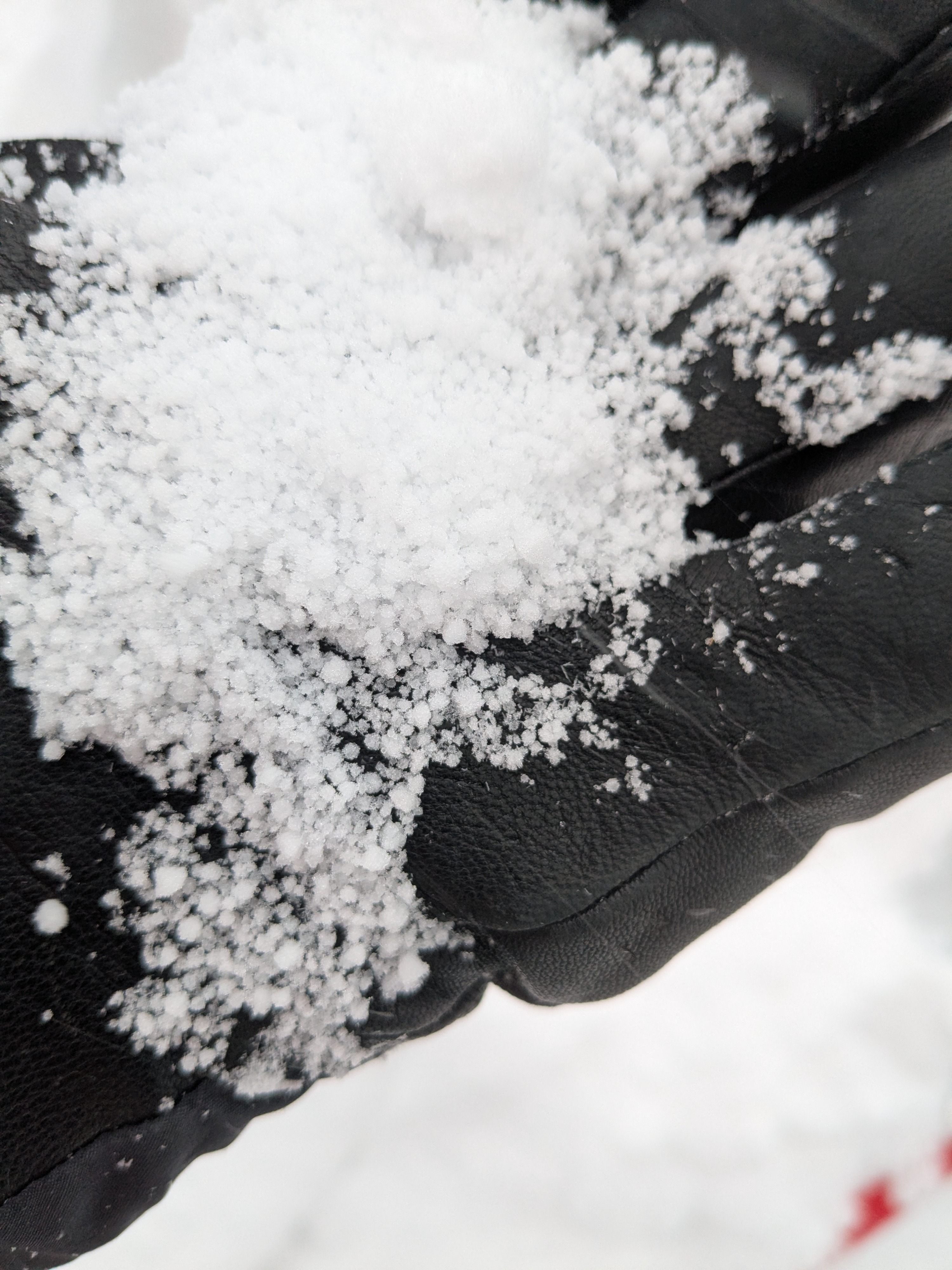
We had snowfall rates of less than 1 inch per hour from 9 am to 11 am. Just before 11 am snowfall rates increased to 1 to 1.5 inches per hour and continued until our departure from the area at noon. In wind protected terrain, there was rain crust from yesterday at 7,500' with about 2 inches of graupel on top of the crust and an additional 10 inches of recent storm snow. This made for 24 hr new snow amounts at noon of 1 foot. We also noted thin rain crust on the scoured surface on the windward side of the summit at 8,200'.
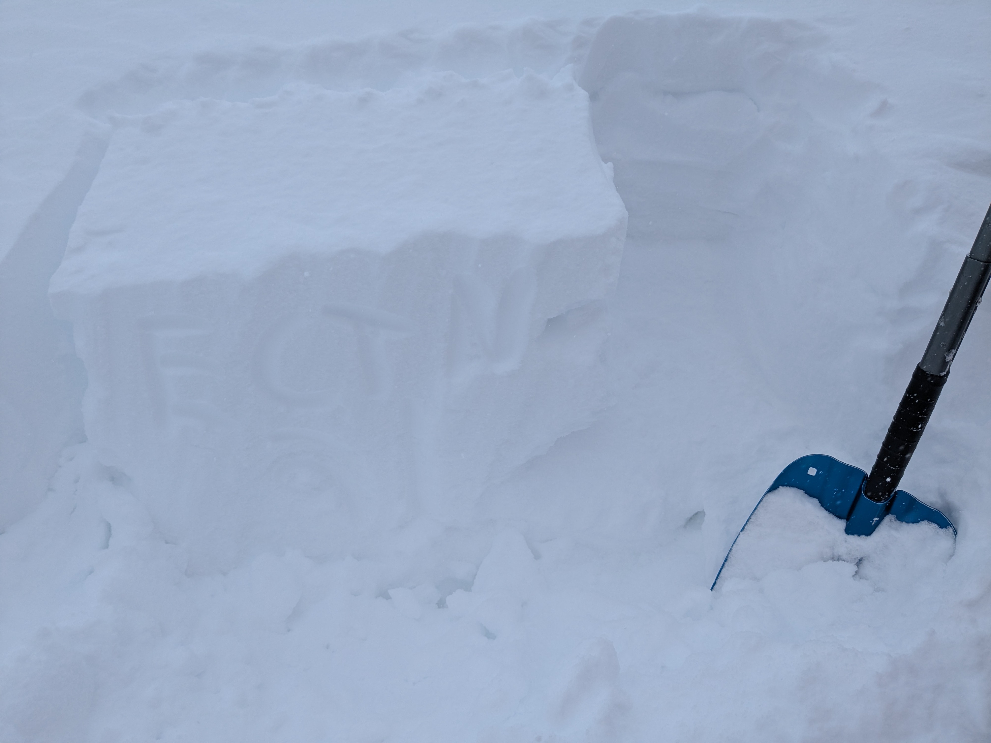
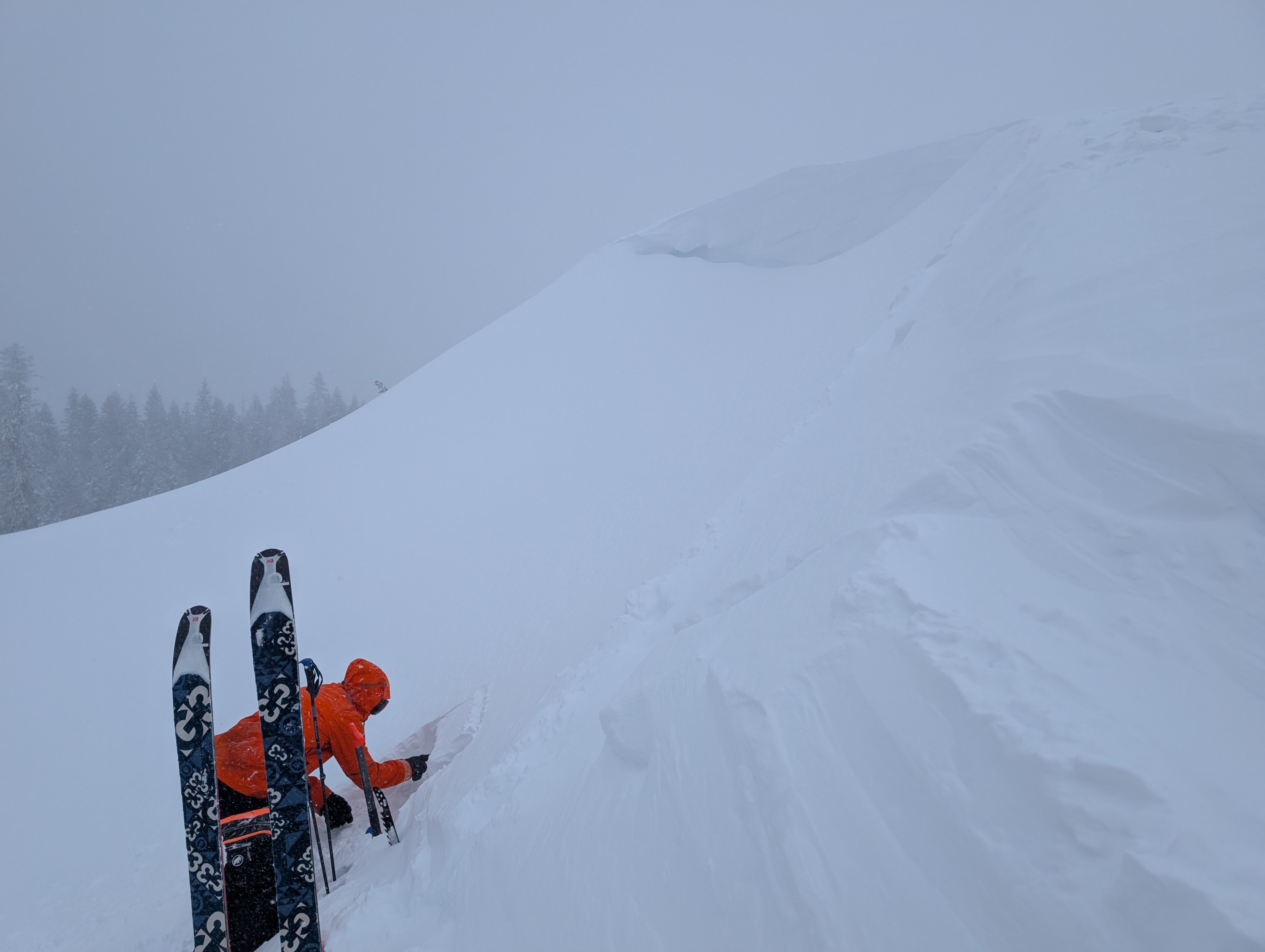
This new snow and graupel were both fairly dense and right side up. Hand shears took moderate effort and were not clean, but did repeatedly fail on the graupel layer. We performed an ECT in wind loaded terrain near 8,100' in ENE aspect, ATL terrain. Our ECT produced ECTN results. A ski cut on the same slope produced no result. We were not able to trigger any cracking or other signs of slab instability on our tour, nor did we trigger any dry loose instability.
We were early in the storm cycle today, with the increasing snowfall rates, it seemed that instability was more likely to occur during the afternoon/evening hours.
Weather
- Cloud Cover
- overcast
- Wind Loading
- moderate
- Recent Snowfall
- HN24 = 30 cm at noon
- Snow Avail For Transport
- moderate amounts
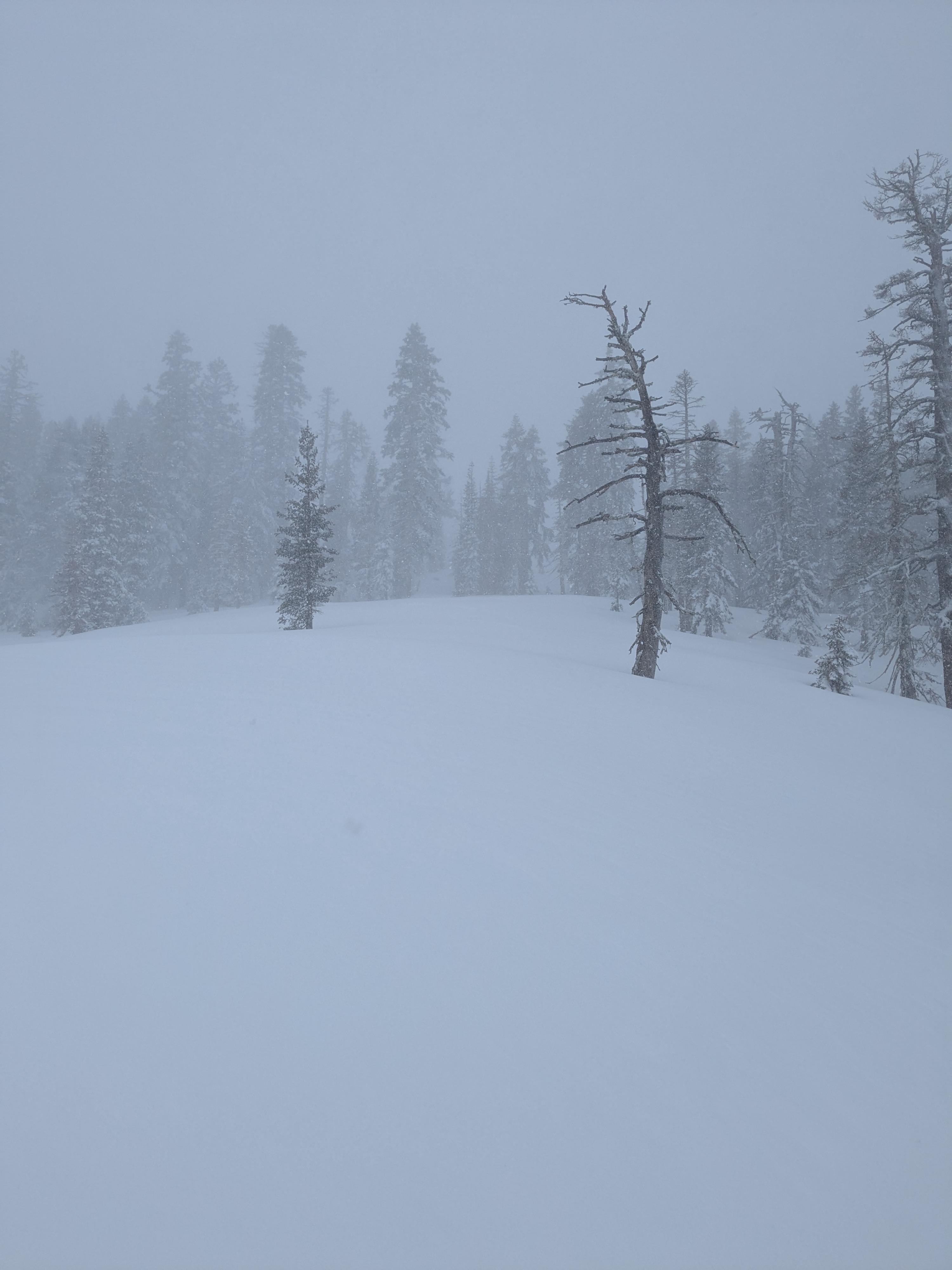
Snowfall rates S1-S2 prior to 11 am, increasing to S2-S3 around 11 am and continuing.