
Weather
- Air Temp
- 32
- Cloud Cover
- few
- Wind Loading
- none
- Rain Elevation
- above 8,700'
- Recent Snowfall
- 18
- Snow Avail For Transport
- none
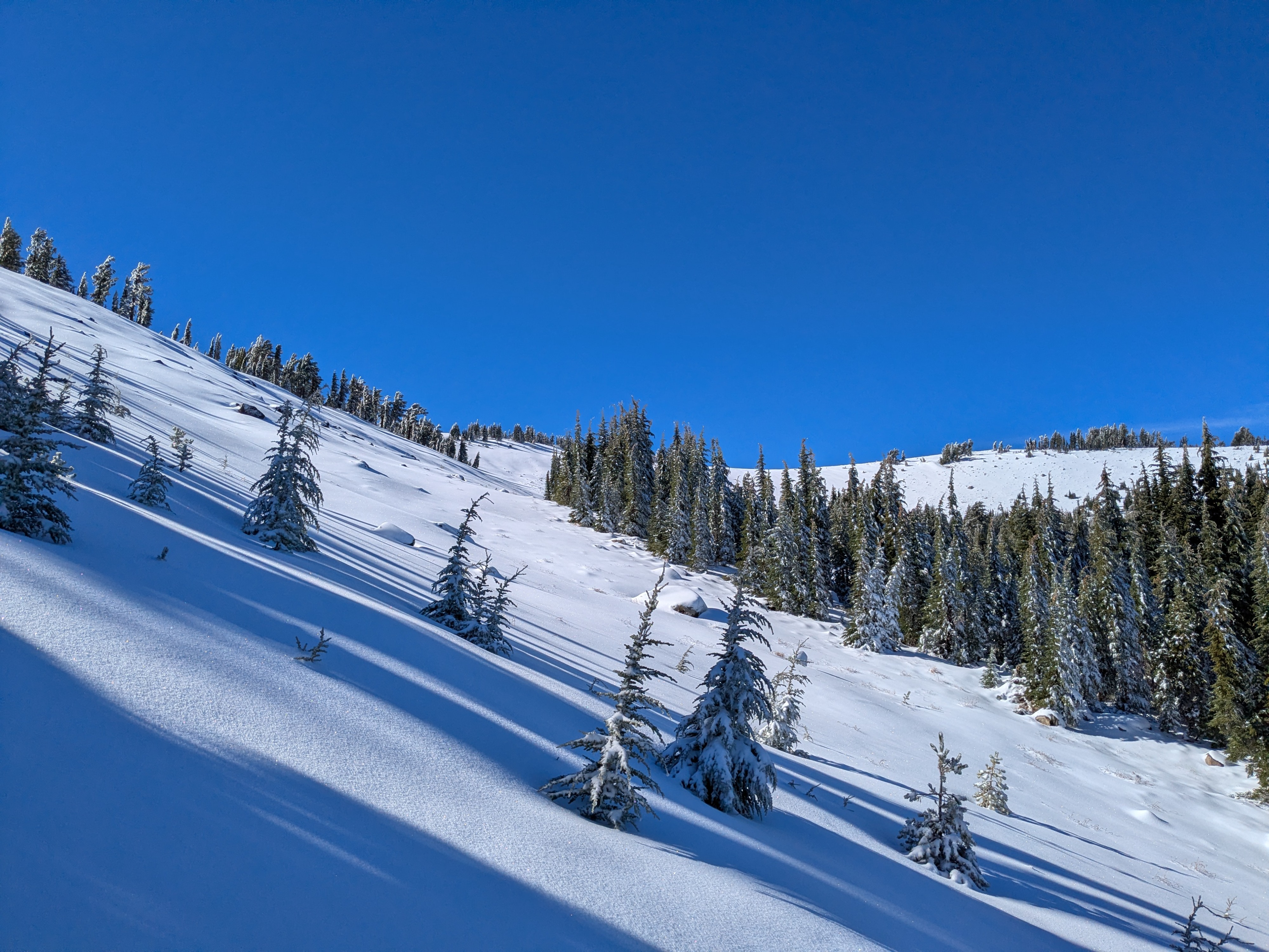
Post storm clearing with calm winds.
Snowpack
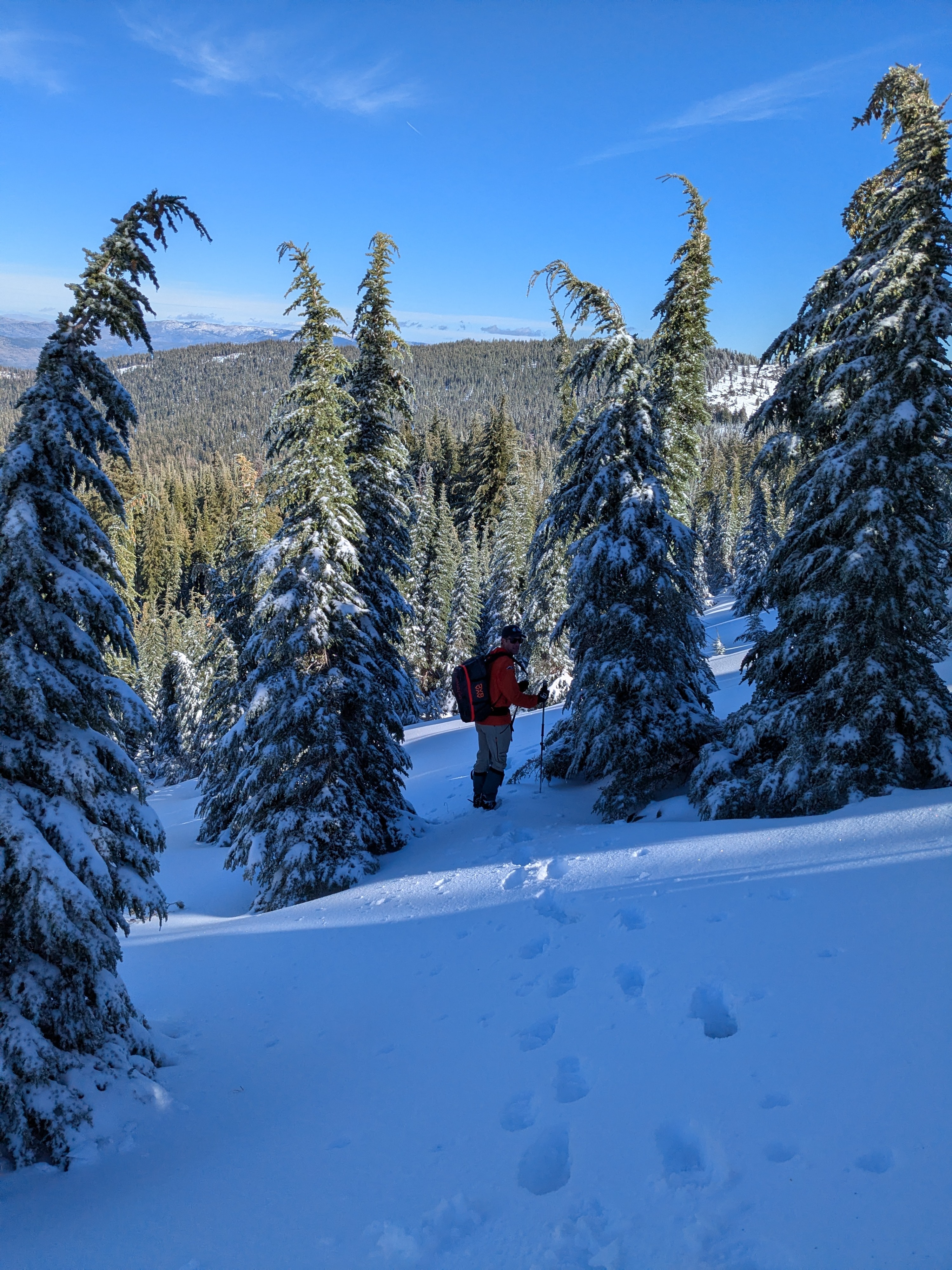
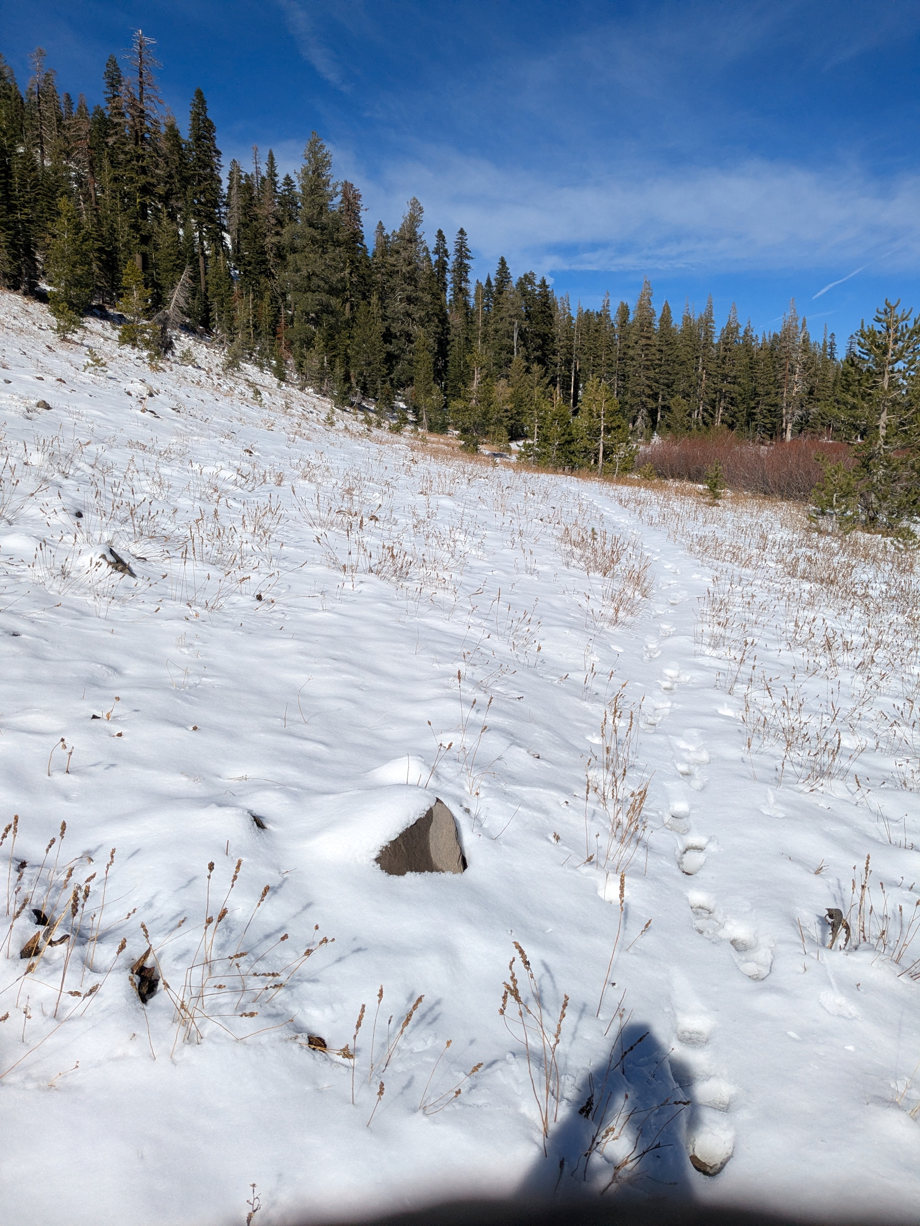
At 7,800' there was 1 to 2 inches of new snow from Nov 5 that had been rained on as snow levels increased during the storm. Our high point of travel today was 8,720'. There was breakable rain crust on the snow surface all the way up to our high point of travel. Snow depths increased notably above 8,300'. Above 8,500' the snow depth increased further as we encountered new snow on top of several inches of older snow from the October storms.
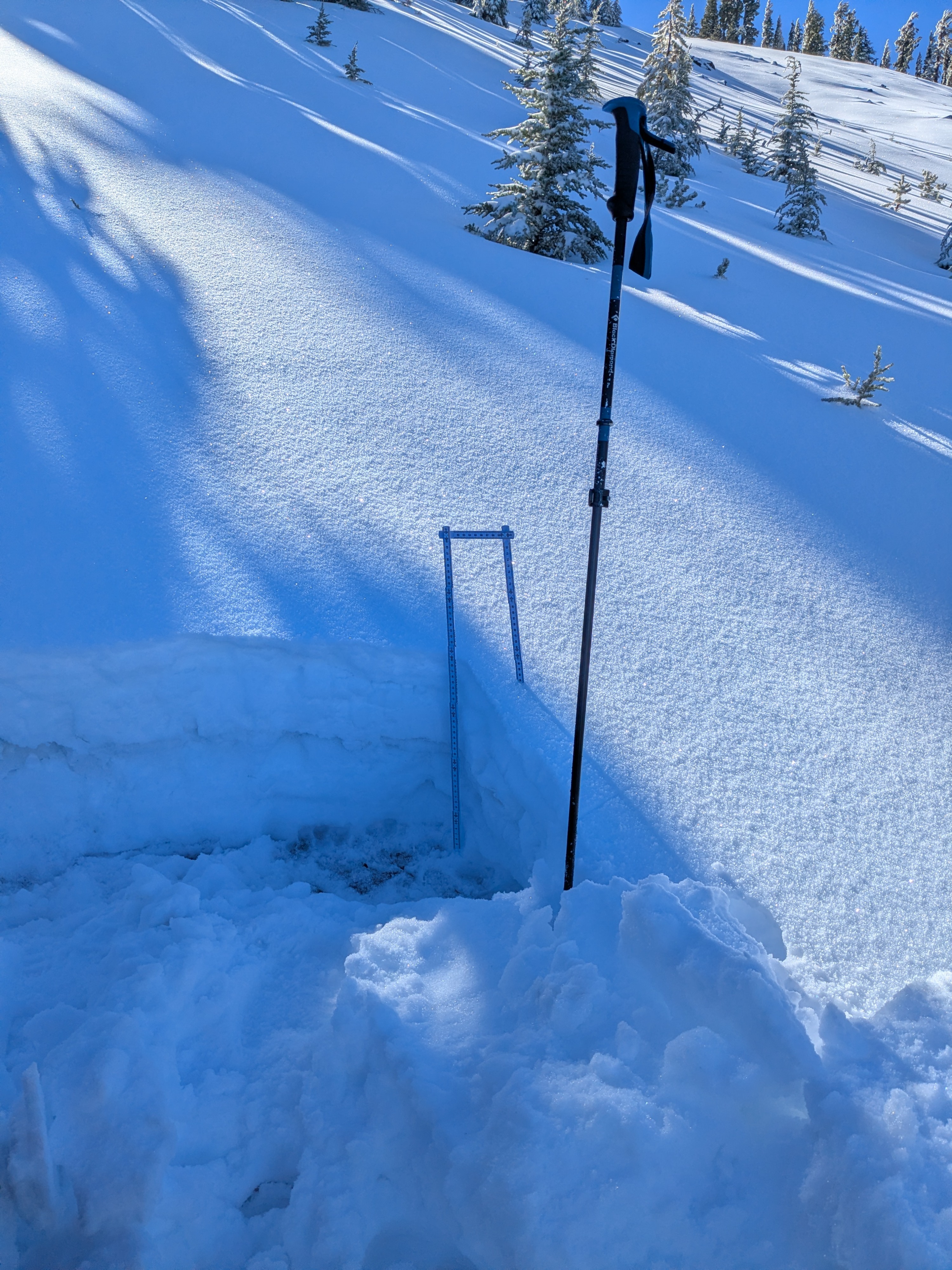
Above 8,500' the snowpack was 12 to 16 inches deep with the top 7 inches new snow from Nov 5. Boot penetration was halfway through the snowpack in most places. In our snowpit at 8,720' (mapped lat/long) we noted a very strong crust, about 2 inches thick at mid height in the snowpack. Faceted snow in the lower half of the snowpack had previously been prevalent with chains of faceted crystals up to 6 mm. These chains of facets were now rounded, possibly due to warmth added to the snowpack from surface melt and rain. Given the over shallow depth of the snowpack, faceting could easily resume as high pressure builds in over the next week.