
Quick report
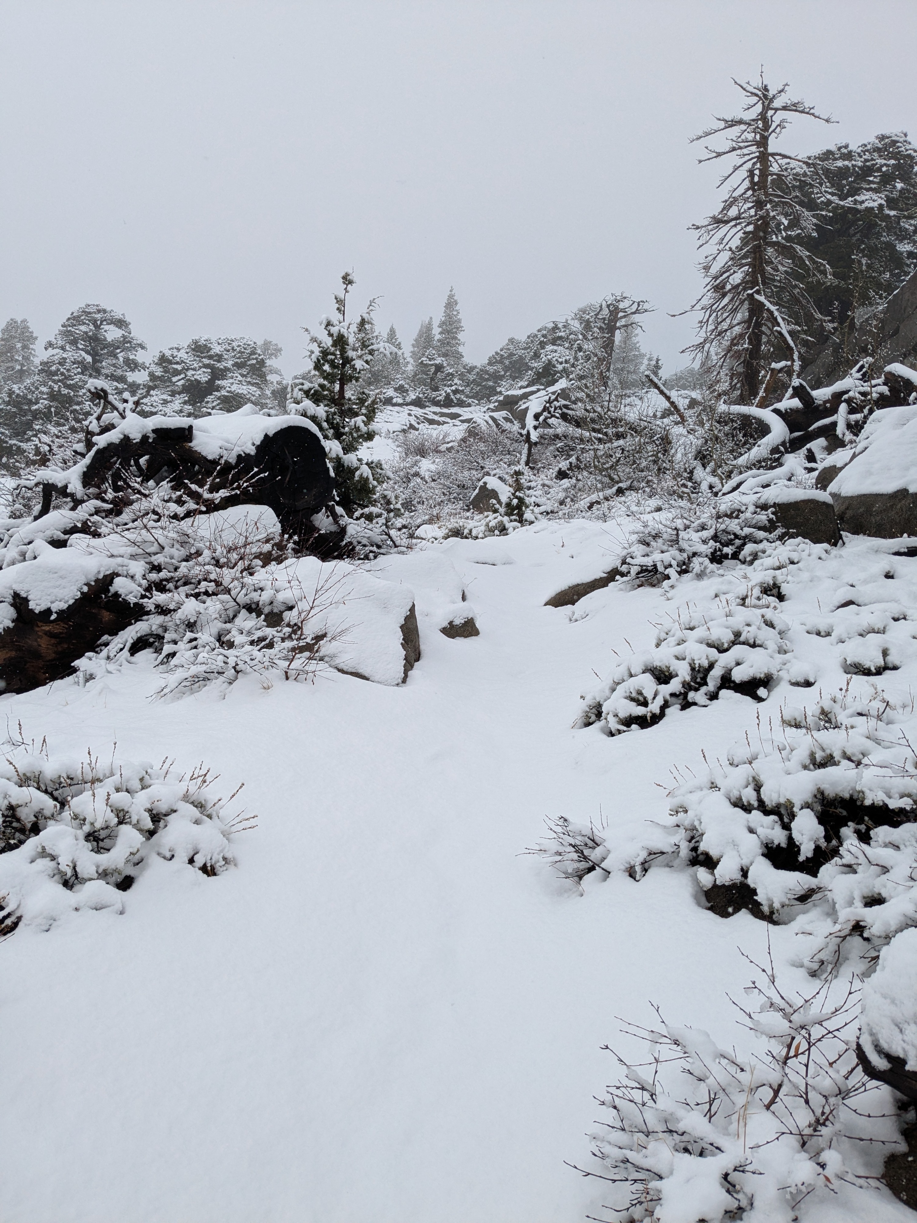
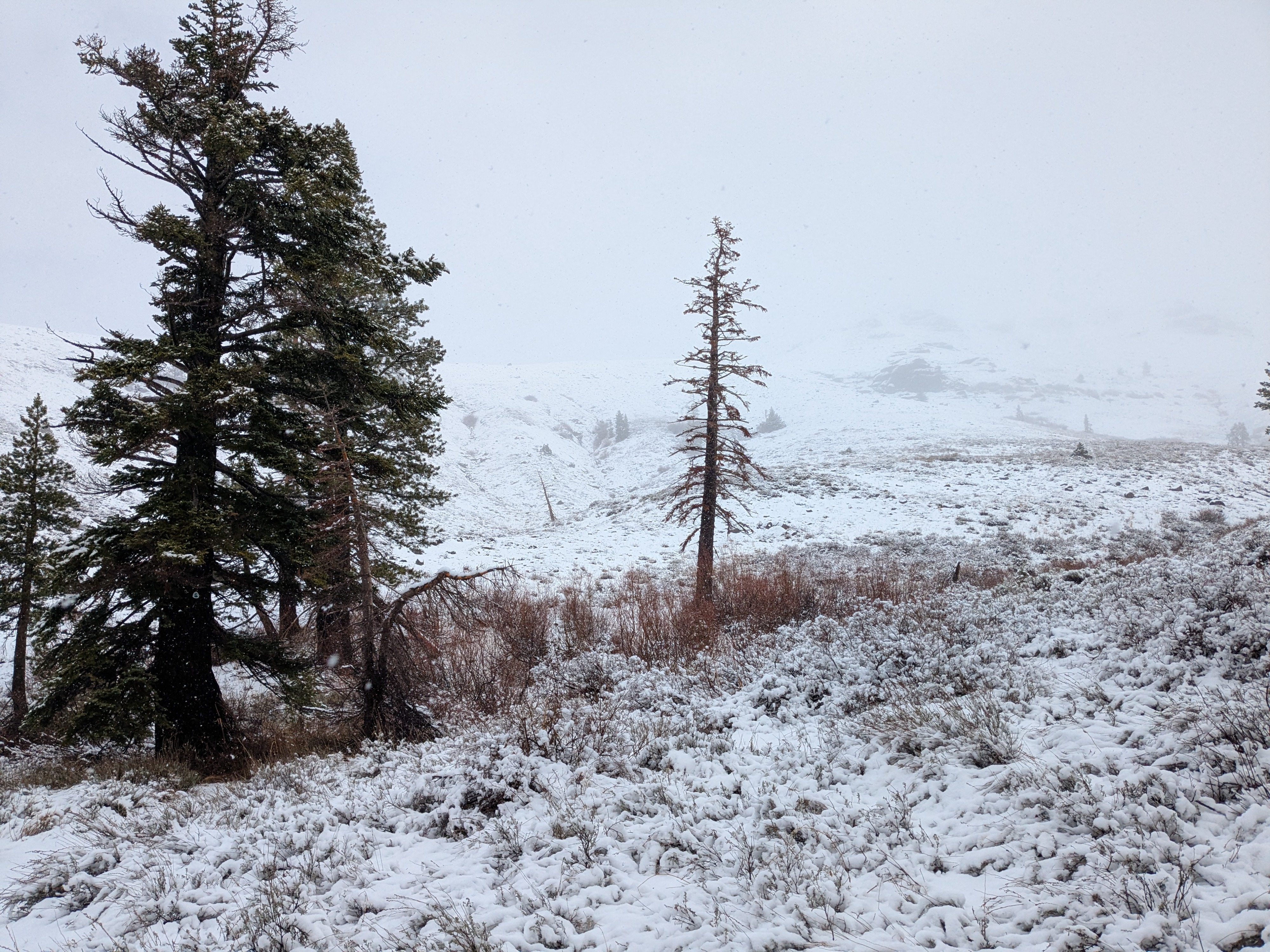
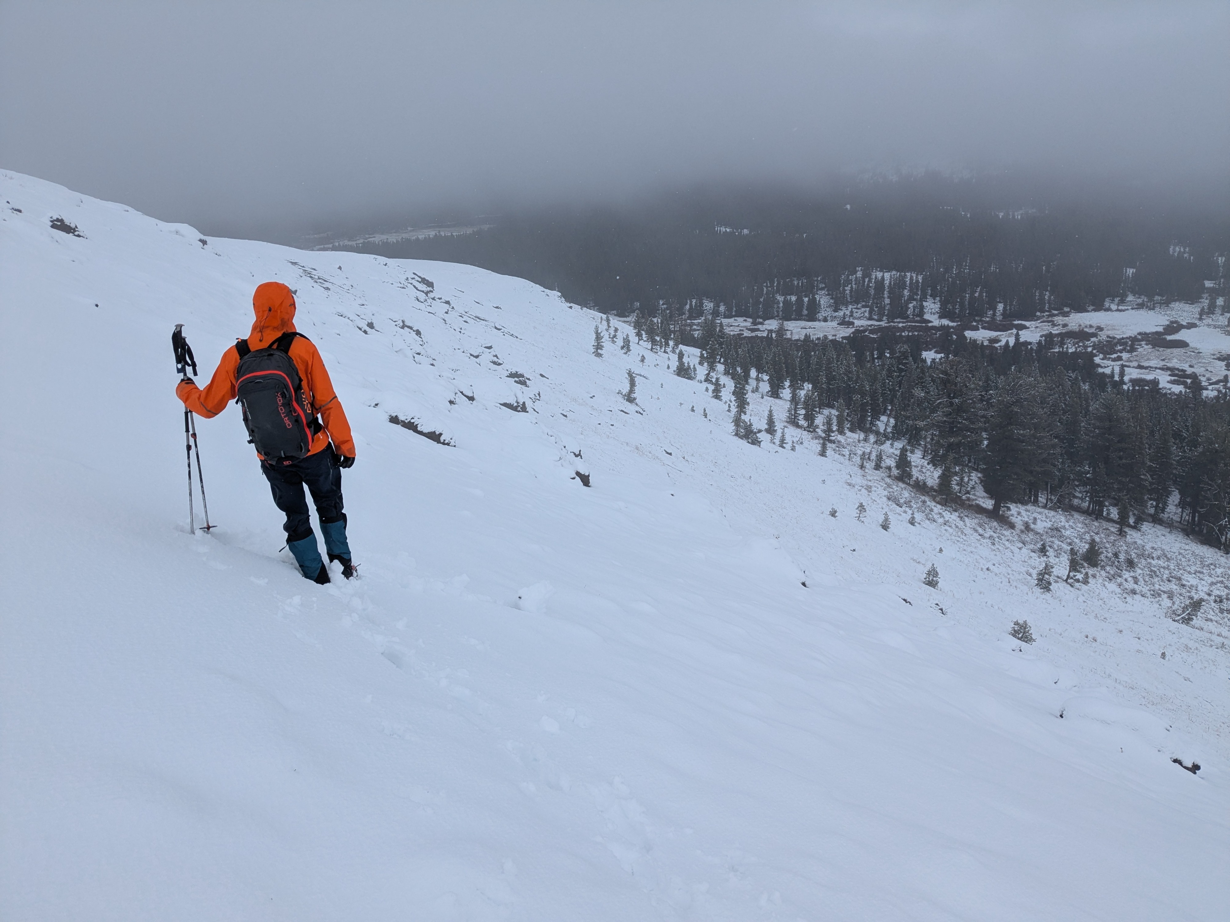
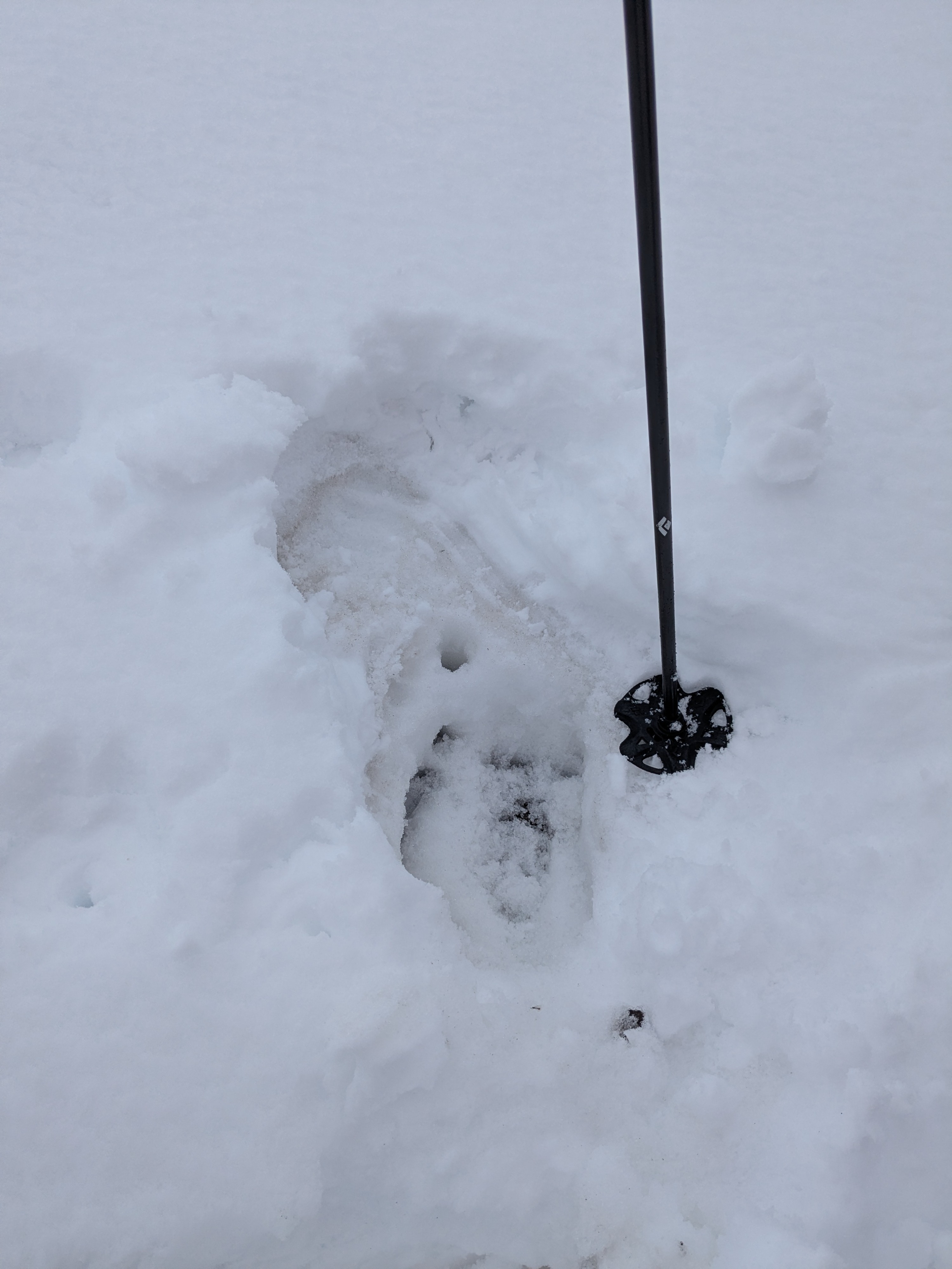
It was still precipitating on our 10:30 am arrival at Carson Pass. At that time, snow level was around 8,000'. Two inches of new snow existed at pass level. New snow amounts increased to around four inches by the time we ascended to 8,800' and higher. We visited the starting zone of the "Repeater" NE, above treeline, avalanche path on Peak 9,108'. Here we encountered four inches of new snow on top of four inches of old snow. The old snow had once been faceted crystals and was now rain wetted and metamorphosed to rounded polycrystals at 1F hard. The recent rain to near 10,000' on Nov 13 changed the existing snowpack in this and other areas. On our walk back to Carson Pass, snow level had risen to 8,600' by noon. On our drive we noted the creeks and waterfalls were flowing at high volume following the high elevation rain on Nov 13 prior to lowering snow levels.
Weather
- Air Temp
- 34
- Cloud Cover
- overcast
- Wind Loading
- light
- Rain Elevation
- 8,000' rising to 8,600'
- Recent Snowfall
- 13
- Snow Avail For Transport
- small smounts
Slight rise in snow levels with daytime warming. Decreasing precipitation intensity after 10:30 am with partial clearing in the afternoon.