
Quick report
Last week's warm-up left its mark across the Ahtanum. Very shallow coverage exists below 5000 ft, with a healthier snowpack above. The EFC appeared well-rounded and not super concerning anymore. My focus shifted to the 3/22 crust and new snow problems.
Weather
- Air Temp
- Below freezing
- Cloud Cover
- obscured
- Wind Loading
- light
- Rain Elevation
- 4000 ft
- Recent Snowfall
- 15 cm
- Snow Avail For Transport
- moderate amounts
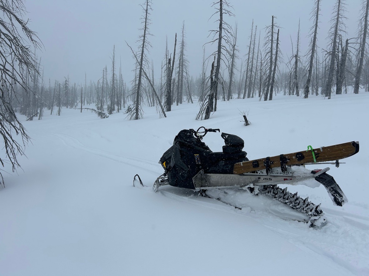
Light rain below 4000 ft. Moderate snow showers above. Once above Clover Flats riding conditions improved with 15 cm of dense new snow. The combination of wet snow and rain left me soaked by the end of the day.
Snowpack
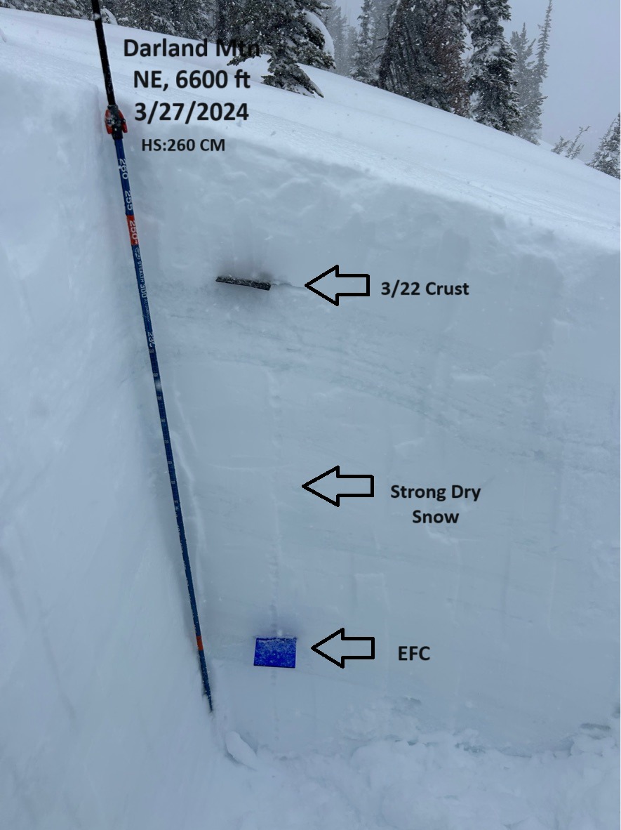
I went out to investigate the EFC along northerly aspects above 6000 ft. In a profile at 6600 ft, NE aspect I found the EFC well rounded and stronger than past visits. It didn't produce any notable results with deep tap tests or other snowpack tests. I generally found a strong right-side-up snowpack above this.
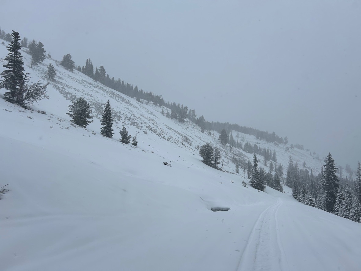
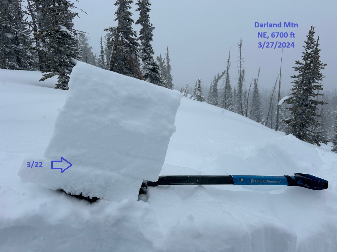
I shifted my focus to the most recent 3/22 crust ( the crust from last week's warm-up), which was thick and supportable, even on shaded upper-elevation slopes. I typically found it to be 8-10 cm thick (approximately 4 inches) on north aspects above 6. This will likely be the layer that most avalanches fail on moving forward in this location.
While there wasn't much of a slab resting on this crust yet ( about 20-25 cm), I did find slightly weaker snow above this 3/22 crust. Shovel tilt test produced consistent planar results with light taps.
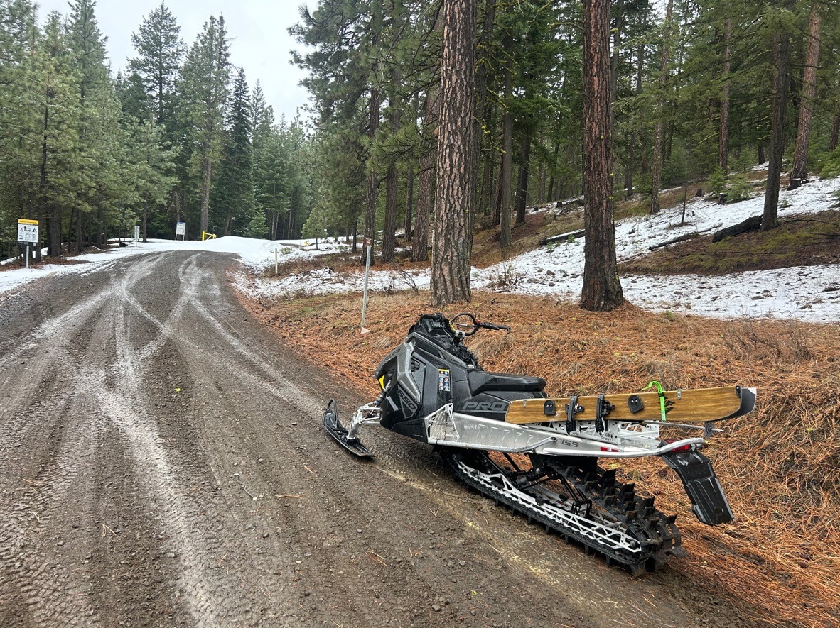
The bigger story in this area was the variable travel conditions. Elevations below 5000' have very little snow. There were multiple sections of bare road to navigate. Once above tree phones, I found consistent, but firm coverage. Riding conditions improved and turned soft and fun above Clover Flats.