

Weather
- Air Temp
- 40
- Cloud Cover
- overcast
- Wind Loading
- none
- Recent Snowfall
- 0
- Snow Avail For Transport
- none
Overcast with moments of thinning clouds, just enough for faint shadows. At the pass, the cloud deck was over 7k feet. Near Jim Hill, clouds lowered to 6k feet at times. They were lower further to the east as the day progressed. At the pass, winds were light with moderate gusts from the east. No precipitation at the pass up to 13:00. It was raining in the NW end of Tumwater cyn at 13:30.
Snowpack
The snowpack is slowly gaining strength and beginning to freeze. In open terrain, I found the snow to be consistently supportive to skis, with variable boot pen ~25-30cm. The snow was less supportive in the trees, though the ski pen was only 10cm, there. I didn't encounter any areas that were completely unsupportive to skis.
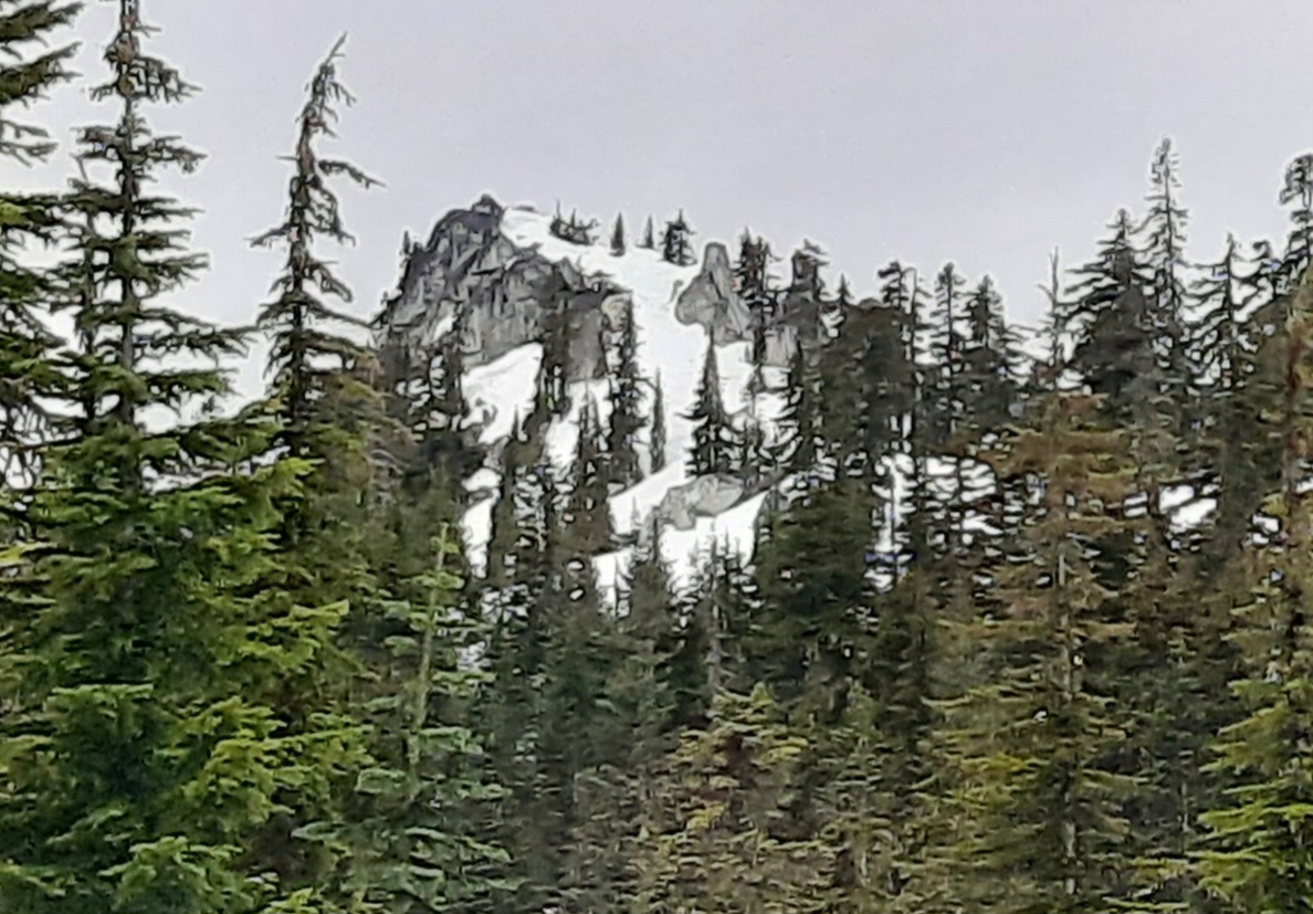
The loss of coverage and height of snow is notable. Many rock features are bare. Creeks have opened up. The 3/21 HST was still dusting the trees above 5,000ft.
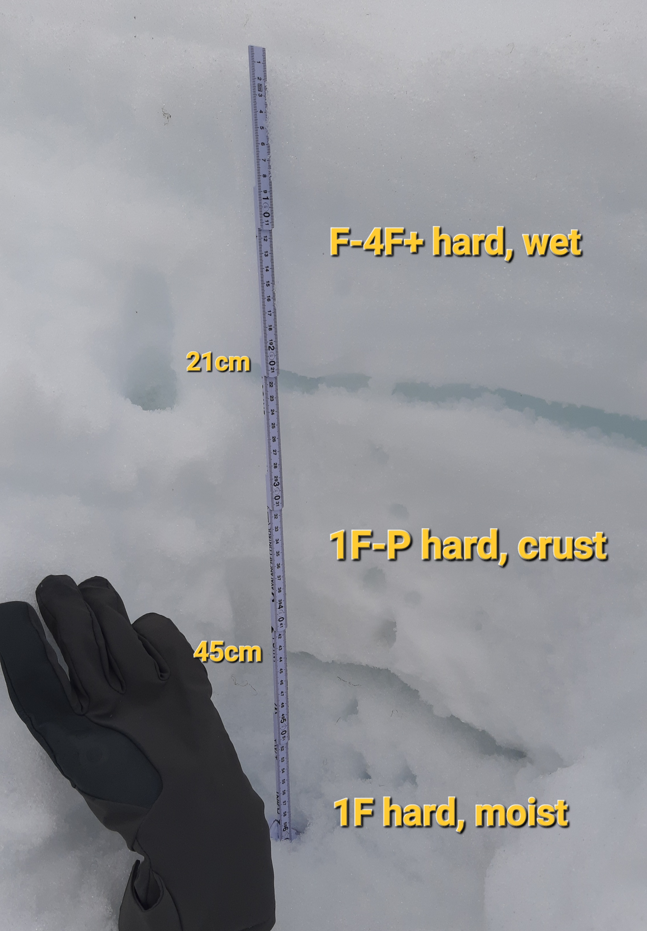
I dug a profile in open terrain to assess the strength of the upper snowpack. Below the wet surface, I found a 25cm thick layer (partially frozen crust) that was strong, supportive, and remained intact through the day:
SSE, 4550ft, 30deg slope- HS 160-175cm.
0-21cm: F+-4F+ hard, melt forms, wet
21-45cm: 1F+-P hard, crust, moist- not completely frozen
45-57cm: 1F-1F+ hard, melt forms, moist
↓100cm: Early Feb crust
Avalanche
No new avalanches. The deeper slab avalanche in Wenatchee Bowl (3/17) is still easy to see, along with numerous older wet loose avalanches on all aspects.