
Quick report
The cool temps and constant scud storms are keeping the snow surface light and fluffy. While this makes for fantastic skiing, the 12" of light density snow will be easily transported by winds of 10-12mph or more. The best riding conditions are below treeline on protected slopes. I suspect the 12" of storm snow combined with the 3-5" of new snow in the forecast for Thursday will not bond well to steep (>35 degree) solar aspects sporting crusts. Riders will likely be able to trigger loose dry avalanches on steep south-facing slopes. If the forecasted moderate SW winds show up early on Thursday, then there will be reactive wind slabs 1-2' thick on upper elevation N-E aspects where the slope angles ramp up into the mid-30's. Buried surface hoar could remain a pesky problem in isolated locations. Remember, surface hoar can only form on clear, cold, and calm nights in more open, yet sheltered, terrain. Avoid trigger points in the terrain like convex rollovers, slopes punctuated with rocks, and shallow areas in the terrain like the windward side of ribs mid-slope. Be sure to investigate the snowpack and look for strong over weak layering before committing to a slope >30 degrees.
No red flags observed.Weather
- Air Temp
- 15
- Cloud Cover
- overcast
- Wind Loading
- light
- Recent Snowfall
- 30cm
Overcast with periodic breaks in cloud cover. Light SW winds w/ no precip.
Snowpack
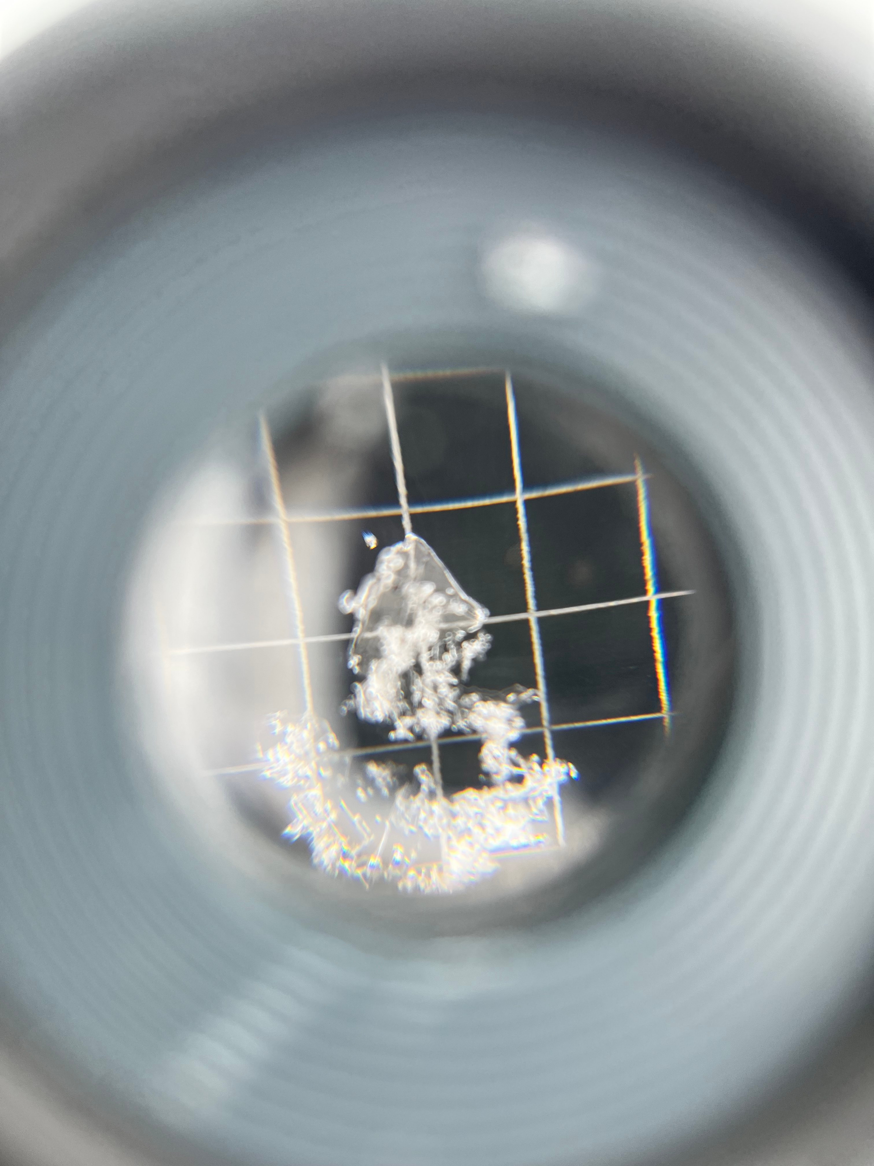
The 30cm+ of new snow is very light in density. Besides the discontinuities wrought by several melt/freeze crusts the snowpack density generally increases with depth. There was a definitive layer of 6mm buried surface hoar at the interface with the recent storm snow. In Compression Tests this layer failed with sudden planar fractures, but did not propogate in ECTs. No other layers popped or dropped in my tests.