
Quick report
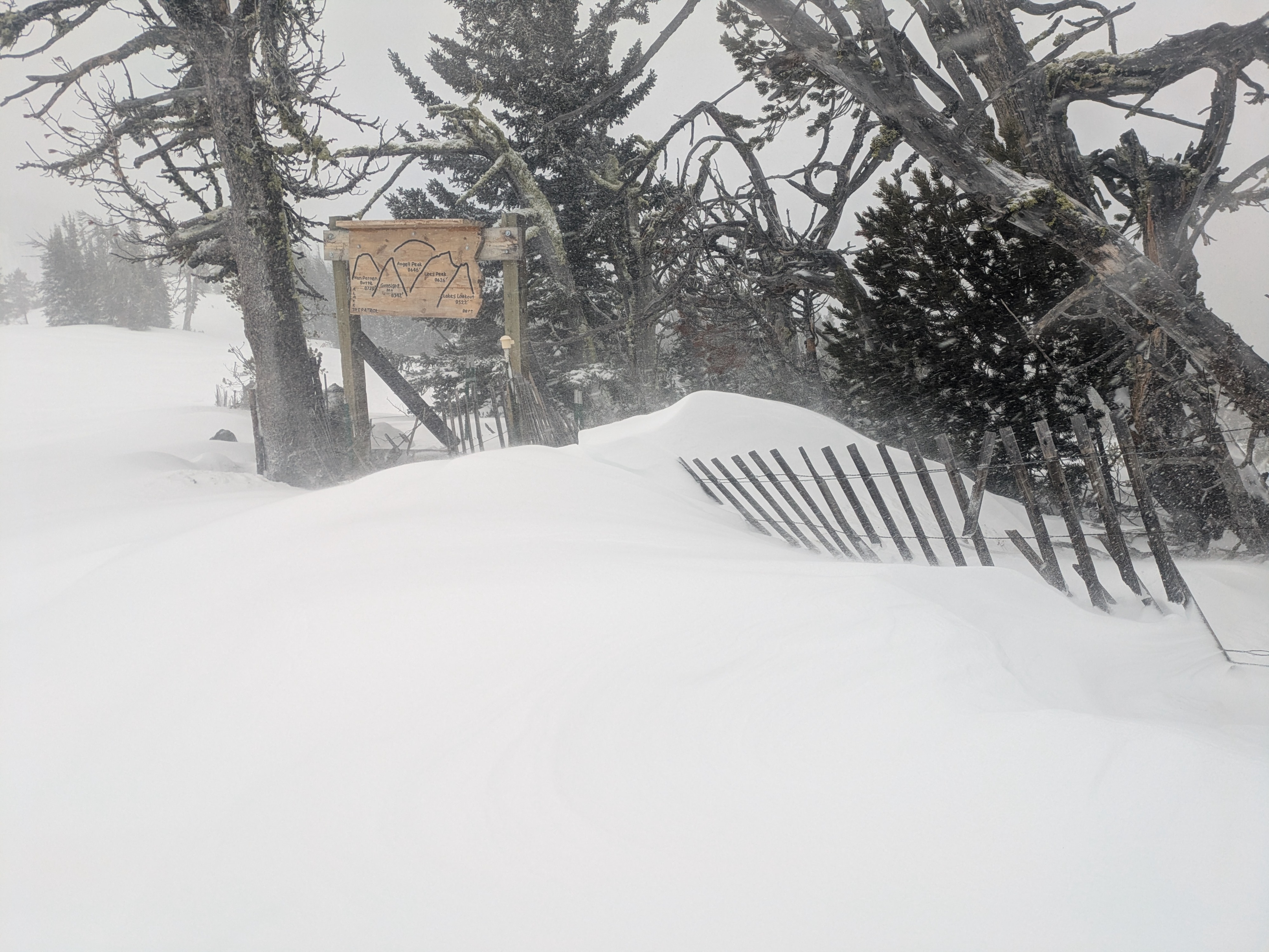
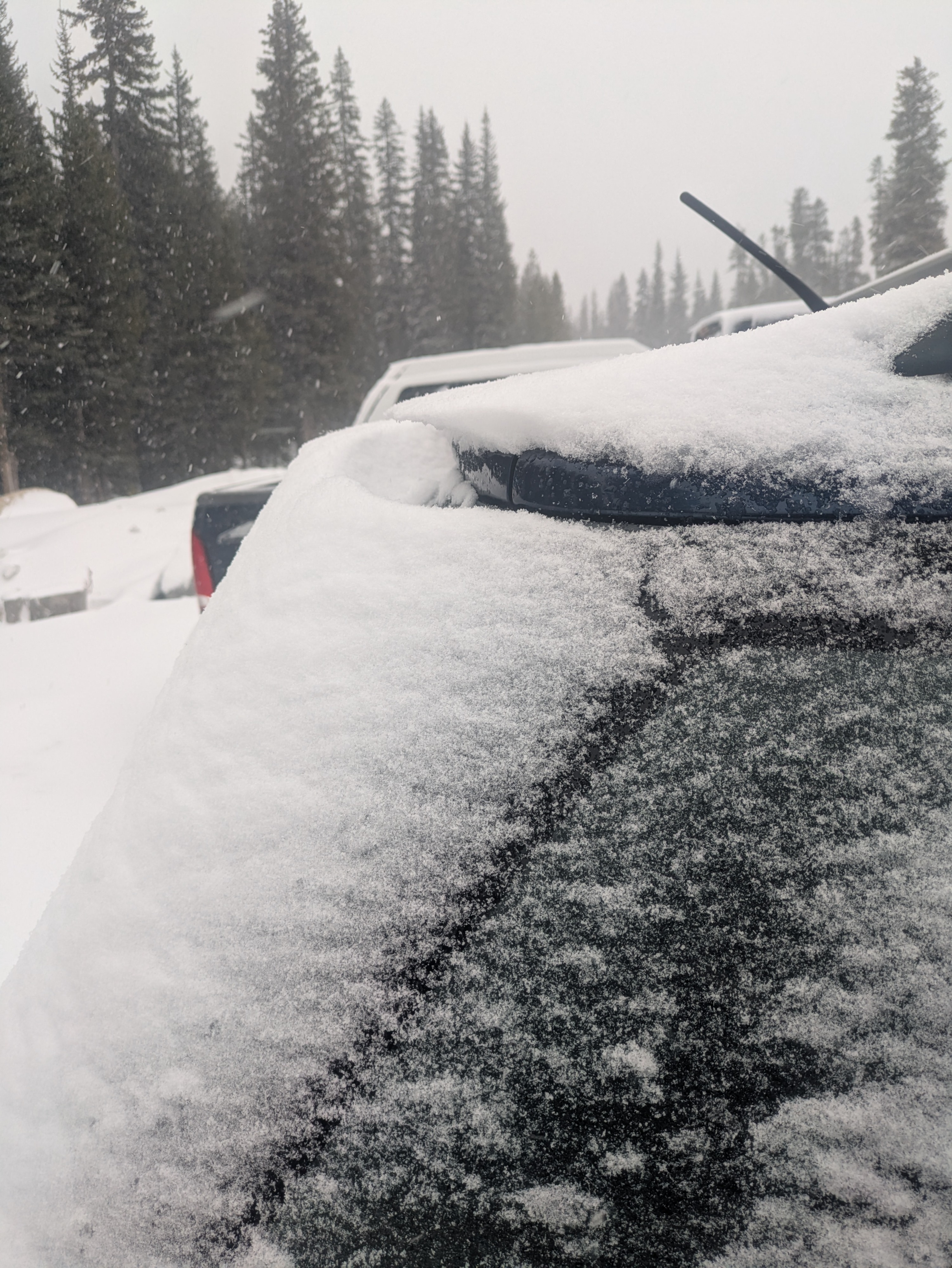
I found generally stable conditions, which could change drastically depending on how the rest of the storm develops. The Northern Elkhorns got 5-6 inches of new snow in only a few hours and I saw obvious signs of wind transport (I found a 3-inch windslab on the back of my car that developed in the few hours I was gone). I did not see any cracking or signs of instability where I travelled; likely because there was not enough accumulation or time to develop sizeable slabs as of this morning. If we continue getting snow with sustained winds, avalanche danger could increase significantly in the next couple of days.
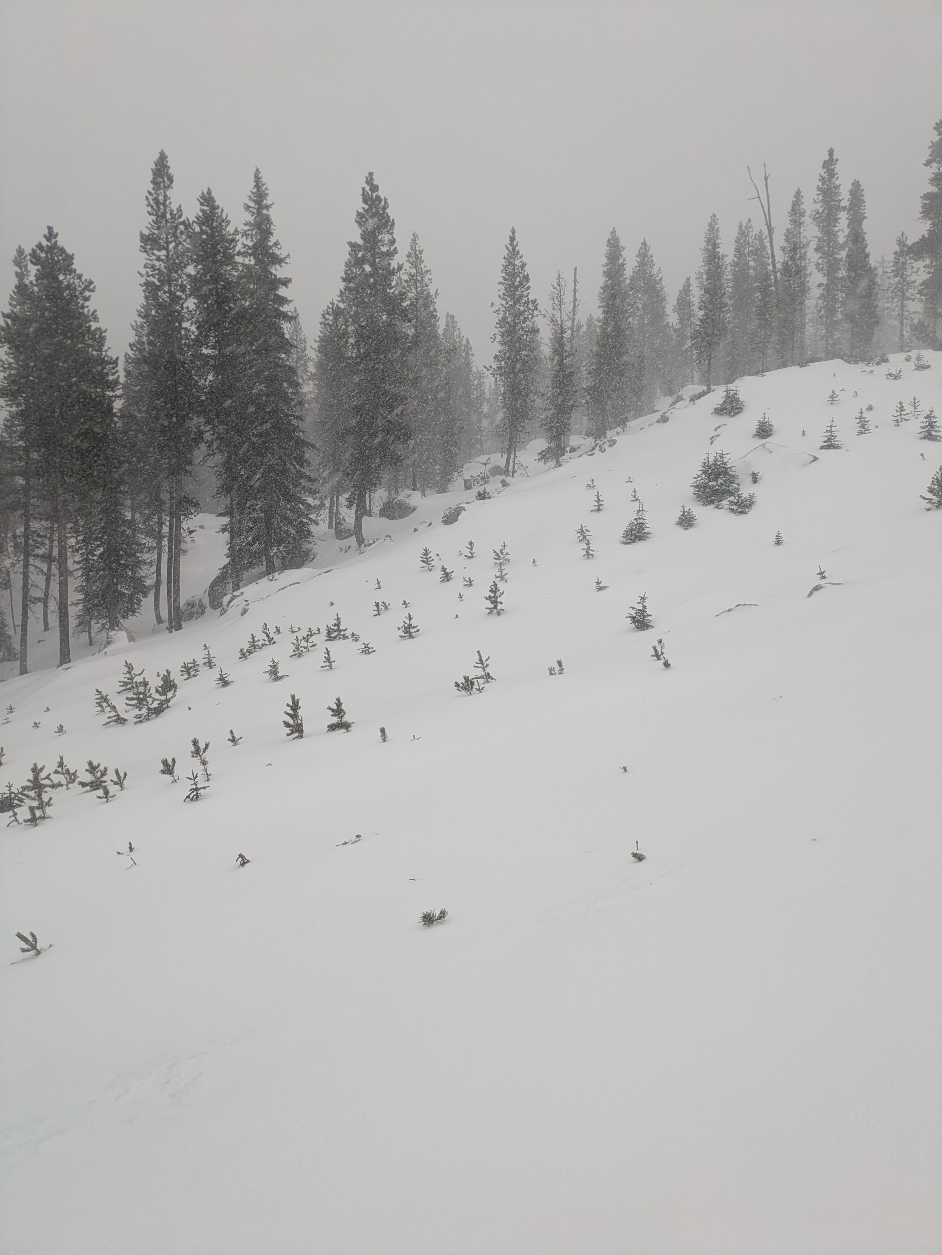
The biggest hazard I encountered was still low coverage conditions, with exposed rocks, trees, and creekbeds still in play. Even as we get more snow, travellers should be cautious of obstacles just barely covered by snow.
Weather
- Air Temp
- 28
- Cloud Cover
- obscured
- Wind Loading
- light
- Recent Snowfall
- 10
- Snow Avail For Transport
- small smounts
By the time I arrived to Anthony Lakes at 9am, there was 2-3 inches of new snow, and that grew to 5-6 inches by the time I left around noon. Winds were light to moderate from the SW all morning. The lowest temp I recorded was 26F and the highest I saw was 30F.
Snowpack
On my tour, I found 2-2.5 ft of total snow. Around 5 inches of new snow sits on a widespread melt-freeze crust, which I found digging and confirmed with each turn on my way downhill. Beneath that 1 inch crust, I found a firm, well-consolidated base of snow.