
Quick report
I was happy to see that the freezing level from yesterday and last night stayed below the elevation of Salt Creek Summit. A temperature crust was noticeable below the 3" of new snow at lower elevations of the wing ridge area. It became thinner and less noticeable by 7,000' where there was slightly more new snow (up to 5" in places) There was moderate wind transport along the upper reaches of wing ridge, but all of the small test slopes I stepped on did not produce any cracking. I believe the wind slab problem only exists in the upper elevations above treeline. With the winds as swirly as they were, I would expect to find wind loading on many aspects.
Keep an eye on the TDL- I think it will heal in the coming weeks. For now, be weary of stepping into terrain that has consequence until we start seeing more consistent non-alarming snowpack test results.
Great to see a busy Salt Creek Summit today! There were lots of folks out enjoying the snow. Let us know what you're seeing in your travels. Happy Holidays.
Small thin wind slab failed naturally below cornice.Weather
- Air Temp
- 32
- Cloud Cover
- broken
- Wind Loading
- light
- Rain Elevation
- 5500'
- Recent Snowfall
- 10-20
- Snow Avail For Transport
- moderate amounts
There was 3" of new snow at the Salt Creek Summit Sno Park this morning. Upper elevations held anywhere from 3-5" of new snow. Winds were swirly for much of the morning- swapping between the SE and SW with the occasional gust from the North. Wind speed was light with moderate gusts. Snow was being blown off of the trees and flagging was observed along ridgelines. Temperatures stayed in the upper 20's to low 30's. Skies were broken.
Snowpack
We dug in two locations along Shelter Ridge. The first was a due north aspect at 7100' near treeline. We found 5 Feet of snow at this location and observed a mostly right-side up snowpack. The exception here is the Thanksgiving Drought Layer (TDL) that was found about 40cm/16" from the surface. We observed no propagation in an extended column test in this location, and failures in a compression test were resistant planar.
The second location was an ENE aspect at 8100'. We found a similar snowpack structure, but our Extended Column Test failed and propagated within the TDL. These are the test results that gives us pause.
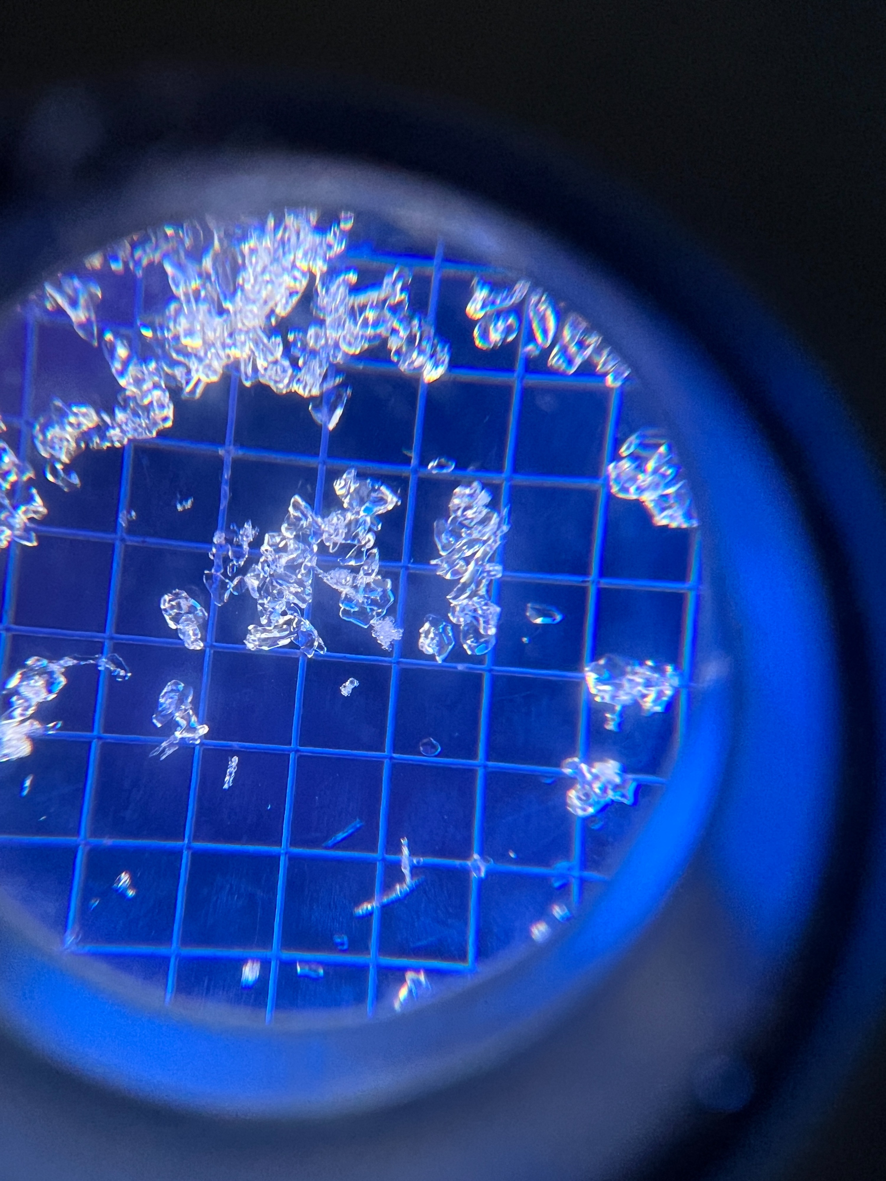
From what I see with these grains, combined with the incoming forecast staying warm and continuing to add snow in modest increments, I expect this layer to heal. Be patient.
From local reports and previous observations, it sounds like the 11/22 Rain Crust was less pronounced in the Northern Wallowas than our other forecast zones. I found it about 80-90 cm from the surface in my two pits, but it wasn't much of a crust and did not show any alarming results in our tests.
Avalanche
- Size
- D1
- Aspect
- NE
- Trigger
- N
- Elevation
- 8350 ft
Small Wind Slab (D1) naturally released below a growing cornice.