
Quick report
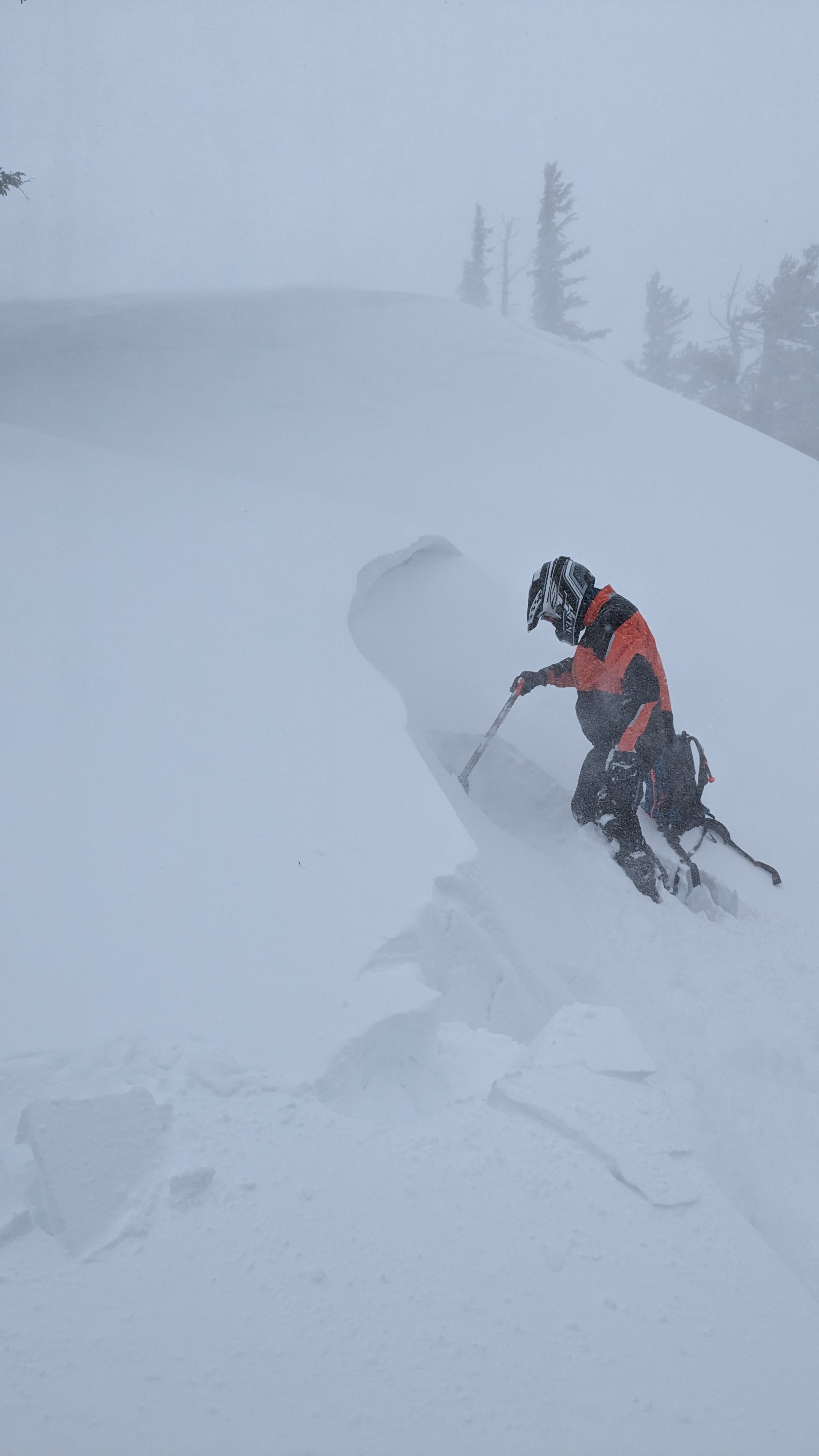
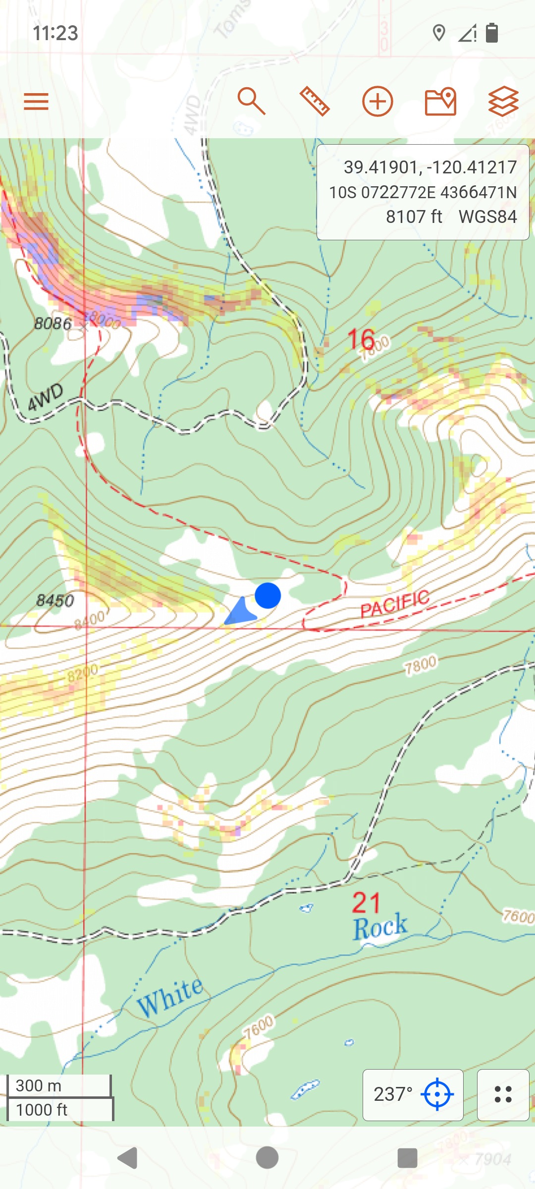
We rode out to Bear Valley today from Little Truckee Summit to make observations as the next storm started entering our forecast area. Strong SW winds were increasing in speed in open areas and exposed near treeline terrain. Small amounts of blowing snow was observed in near treeline areas that had a couple inches of new storm snow and some old soft snow available for wind transport. Newly forming wind slabs were still small in size and not much of a concern at this point. Snow conditions were mostly soft and supportable with a variety of crusts on solar aspects.
Weather
- Cloud Cover
- overcast
- Wind Loading
- moderate
- Rain Elevation
- 5500-6000'
- Recent Snowfall
- 3
- Snow Avail For Transport
- small smounts
Full cloud cover with light snow showers through the day. 2'' of new snow accumulation in this area today. SW winds were increasing and were strong to gale force in wind exposed areas.