
Quick report
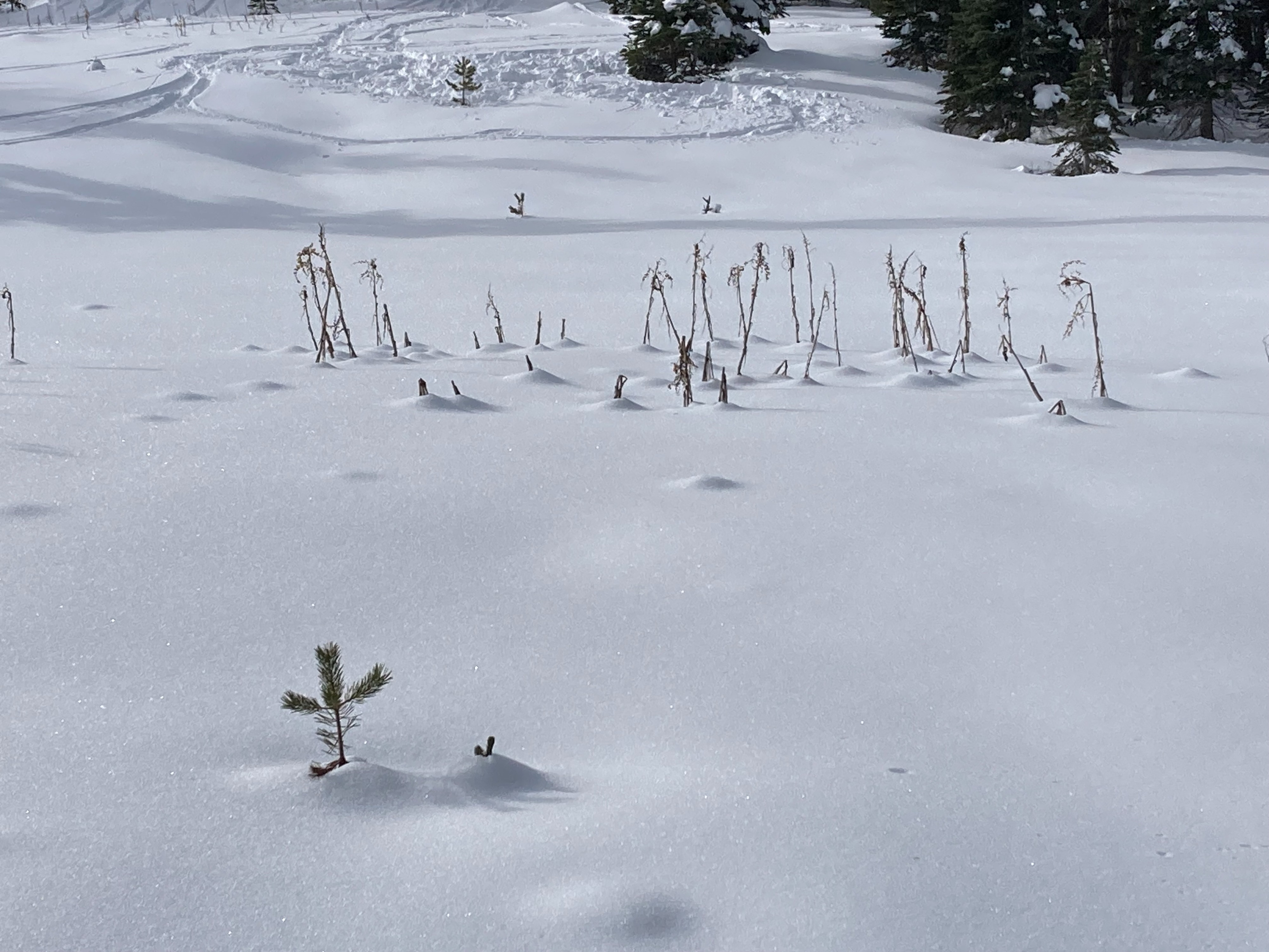
I went for a tour in the Castle Peak area today. Snow coverage has greatly improved with the recent storm snow and travel is possible on snow from the trailhead to upper elevation areas. The recent storm snow continues to settle and gain strength providing more supportable travel conditions. Areas that had limited snow coverage prior to this last storm (E-SE-S-SW-W aspects continue to be early season conditions with most snow existing on NW-N-NE aspects.
Weather
- Cloud Cover
- few
- Wind Loading
- none
- Recent Snowfall
- 0
- Snow Avail For Transport
- small smounts
Mild weather today with temperature inversions having warmer air at elevation in the mountains than in the lower valleys. Winds were generally light with no blowing snow observed.
Snowpack
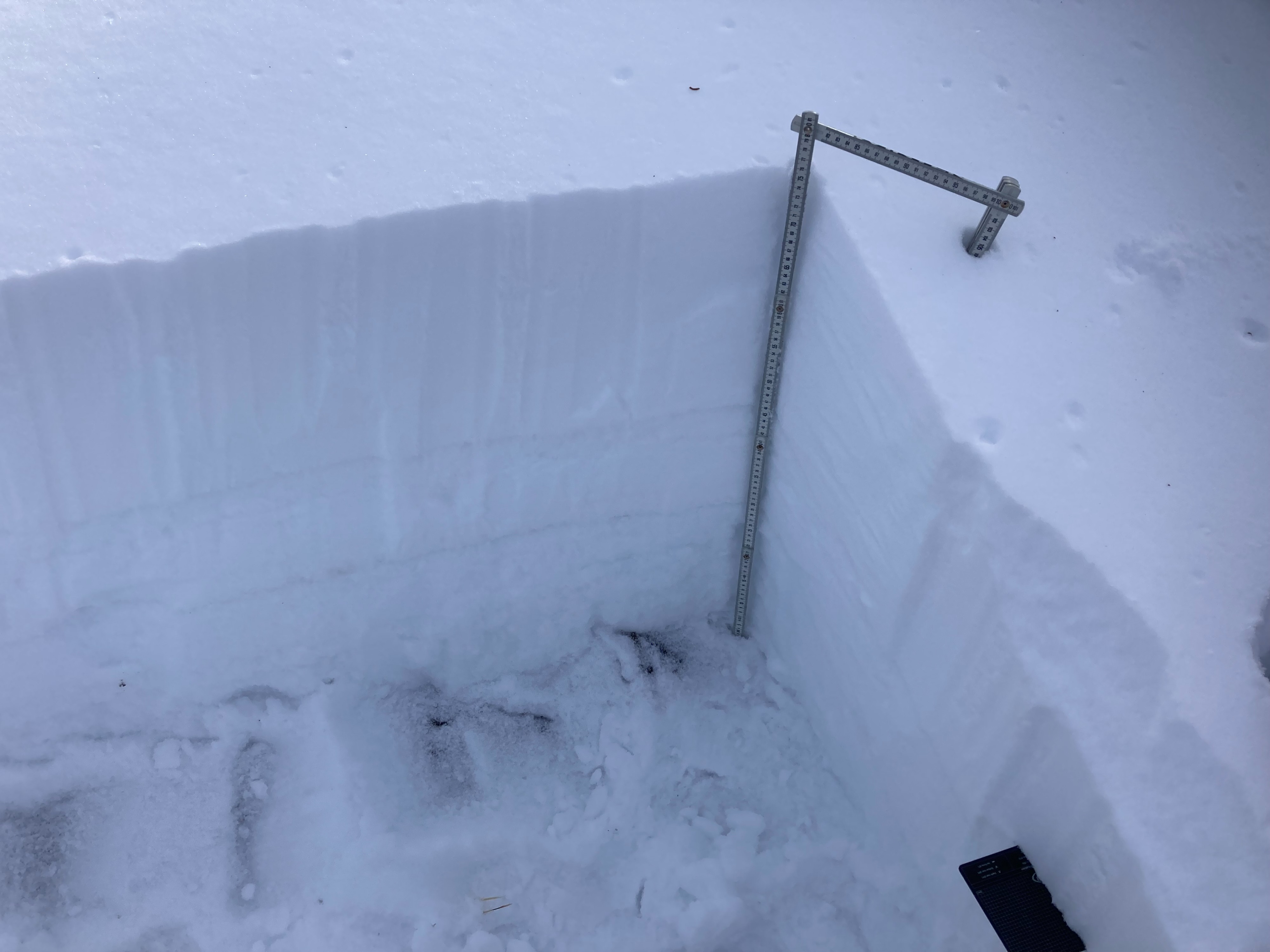
Recent storm snow is starting to settle and gain strength in this area. The existing snowpack below this recent storm snow is made up of multiple rain crusts with weaker faceted snow in between and depth hoar at the base of the snowpack. All of the weak snow is moist to wet and, even with the shallow snowpack, appears to be gaining some strength slowly. Snowpack test results did show some concern with some of these layers on a West aspect when additional loading returns.