
Quick report
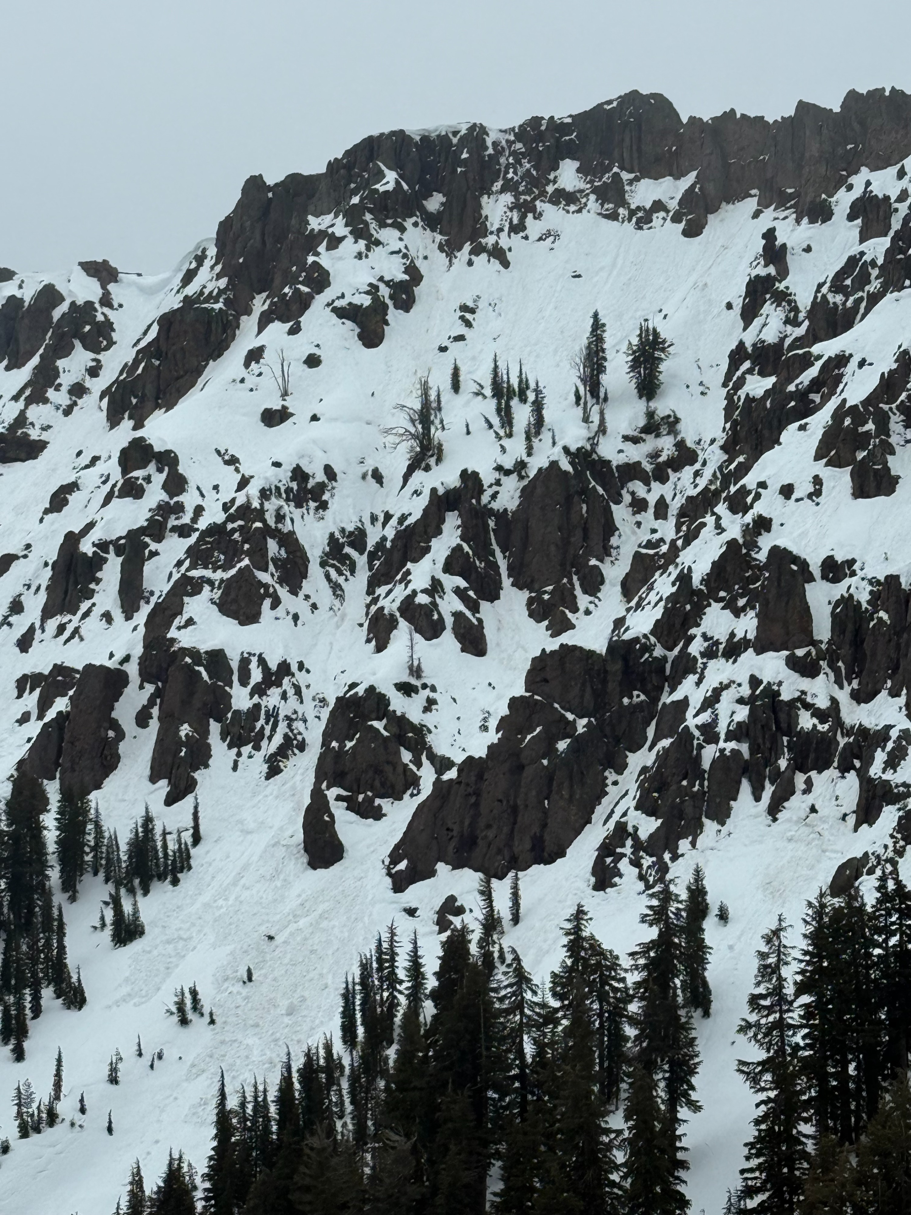
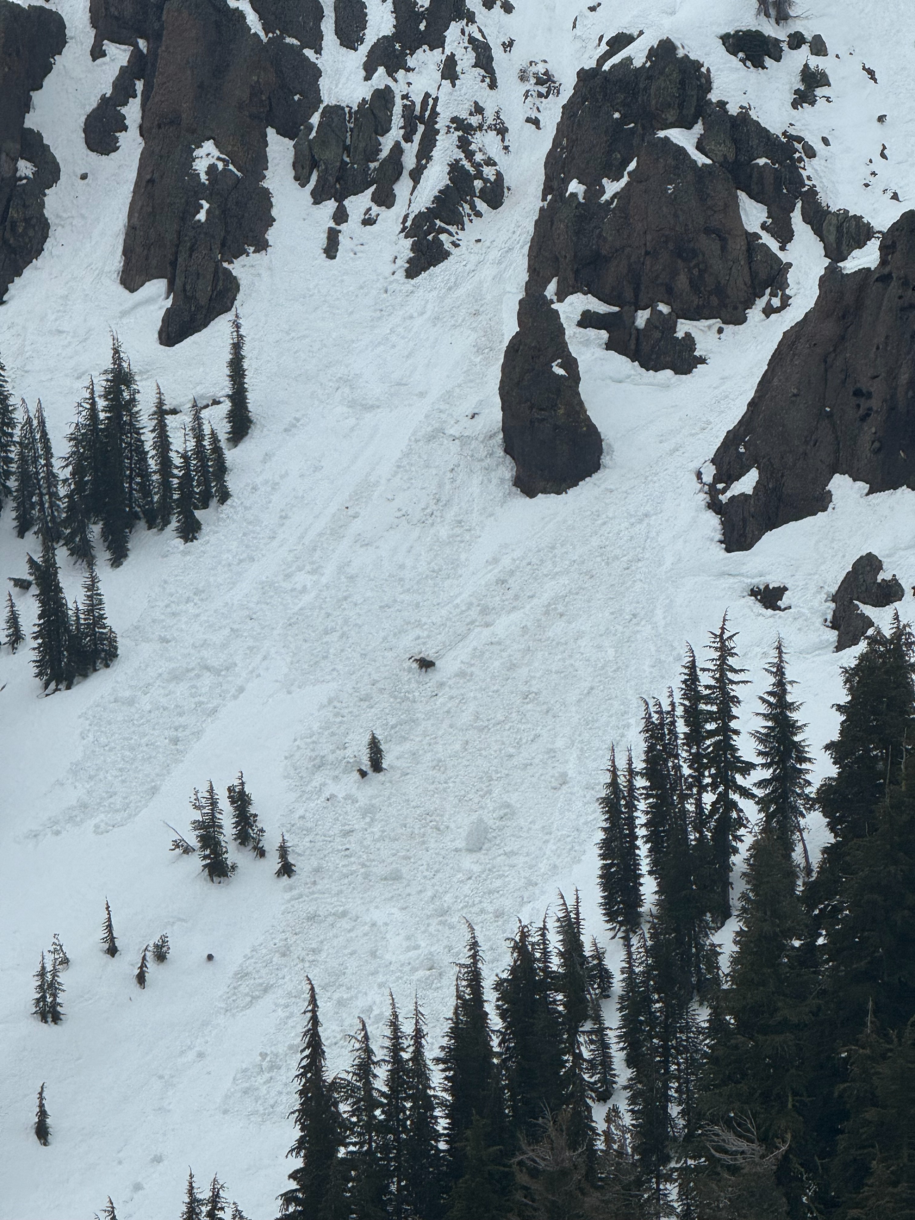
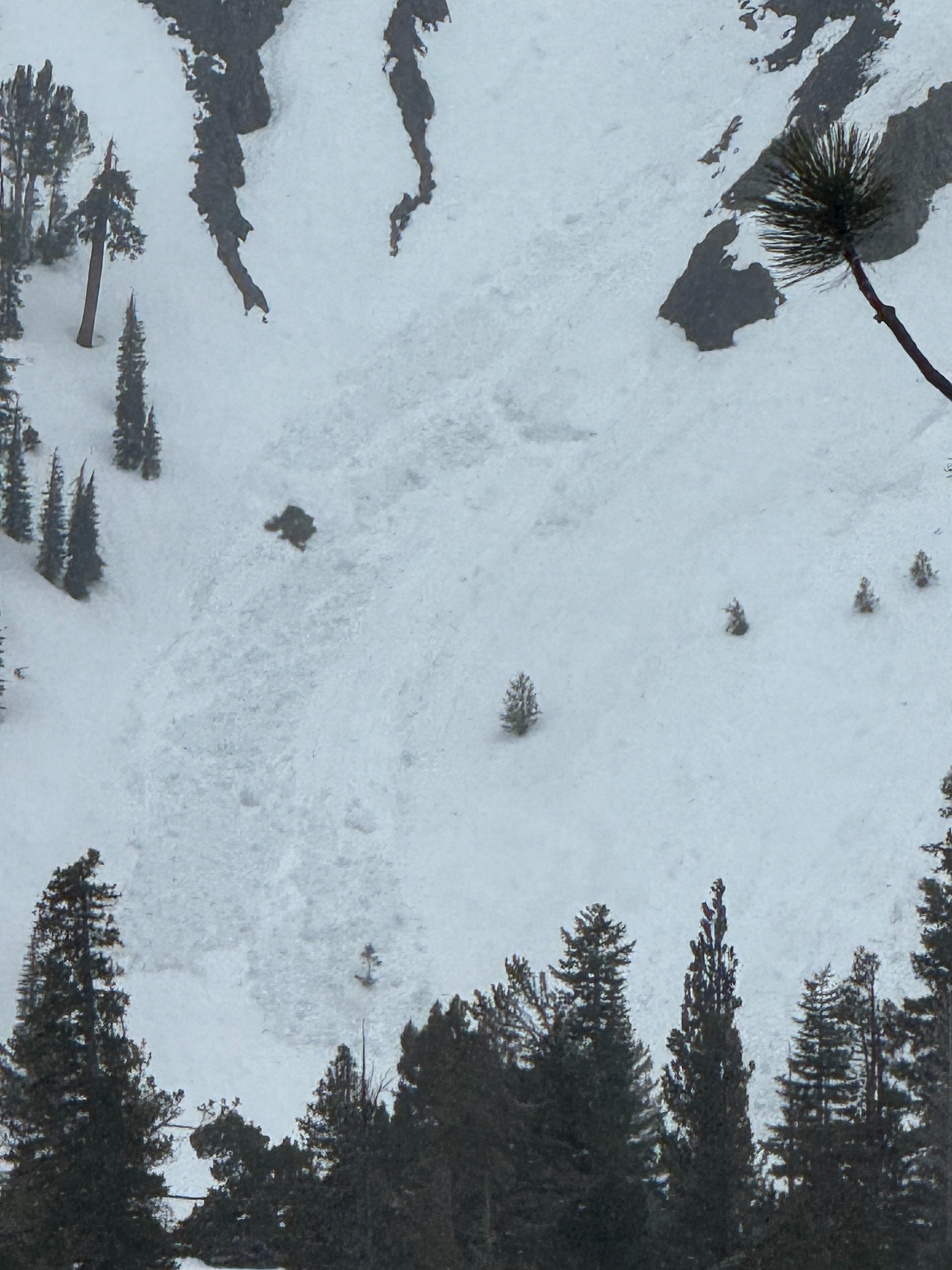
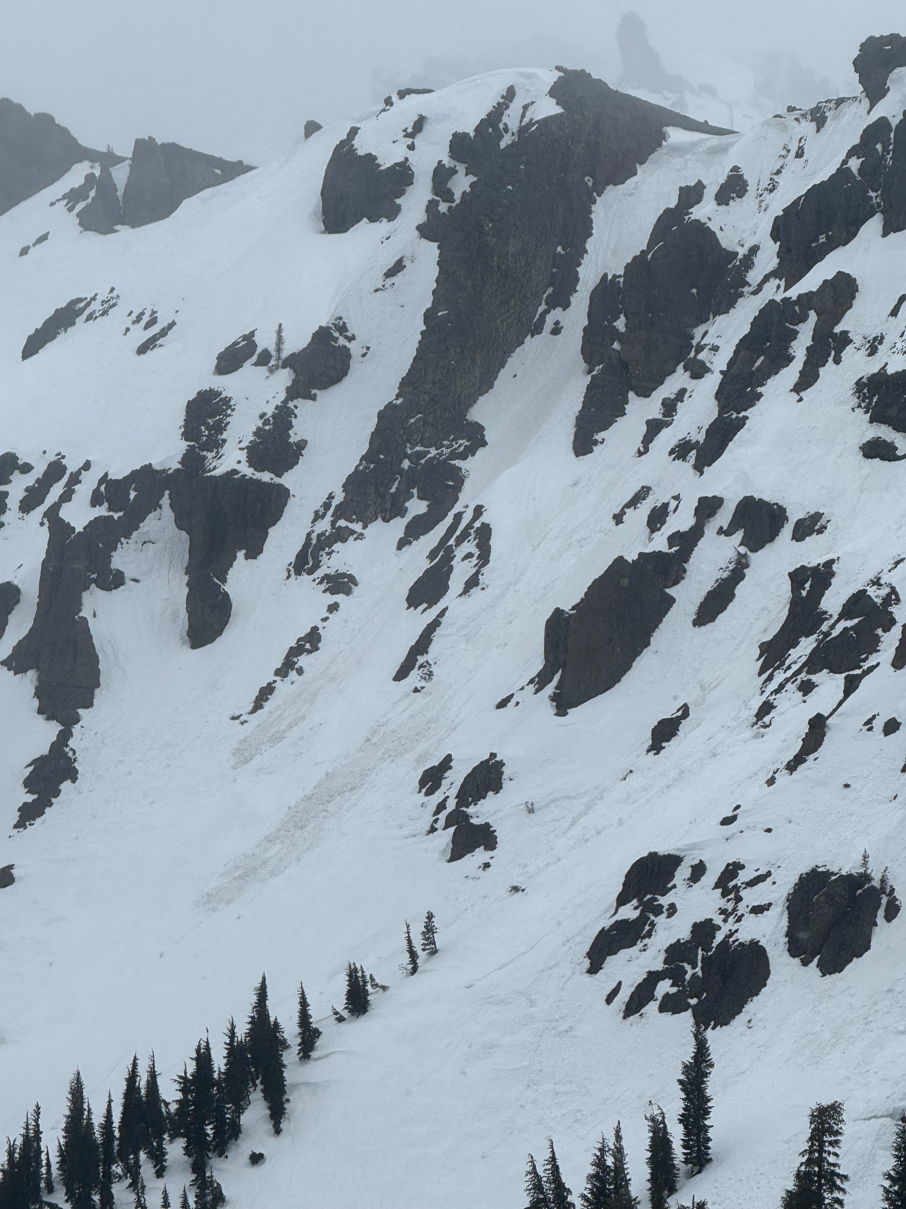
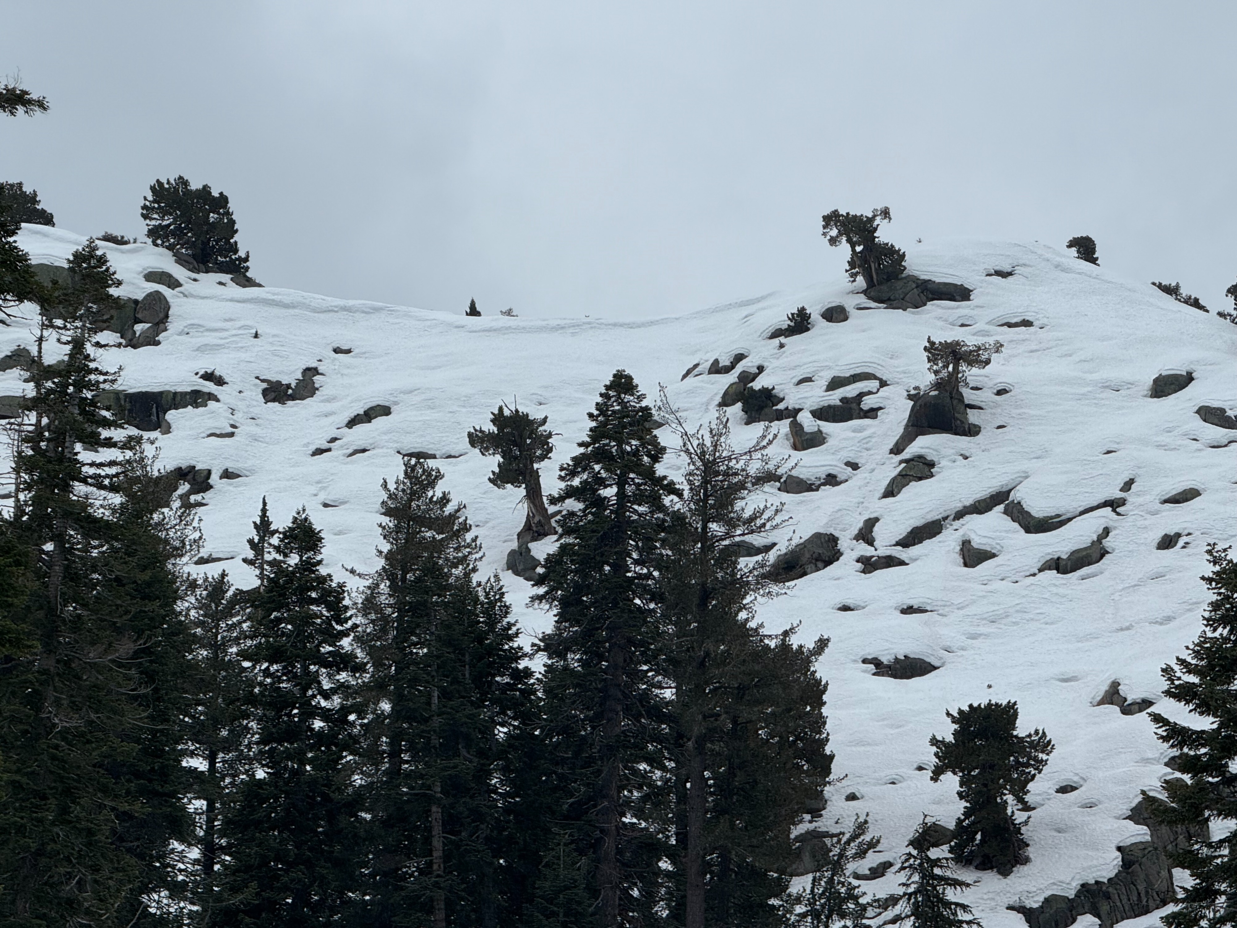
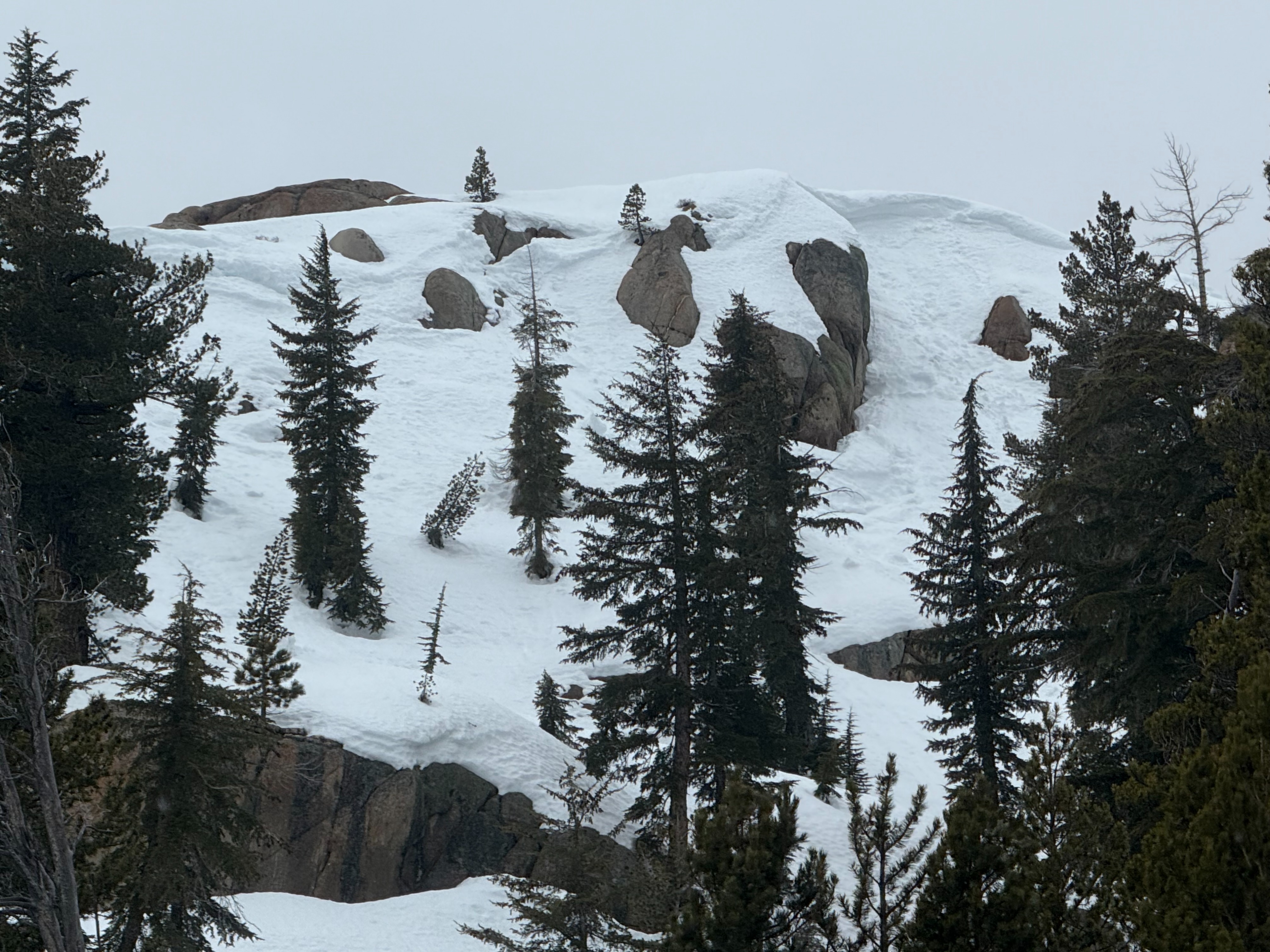
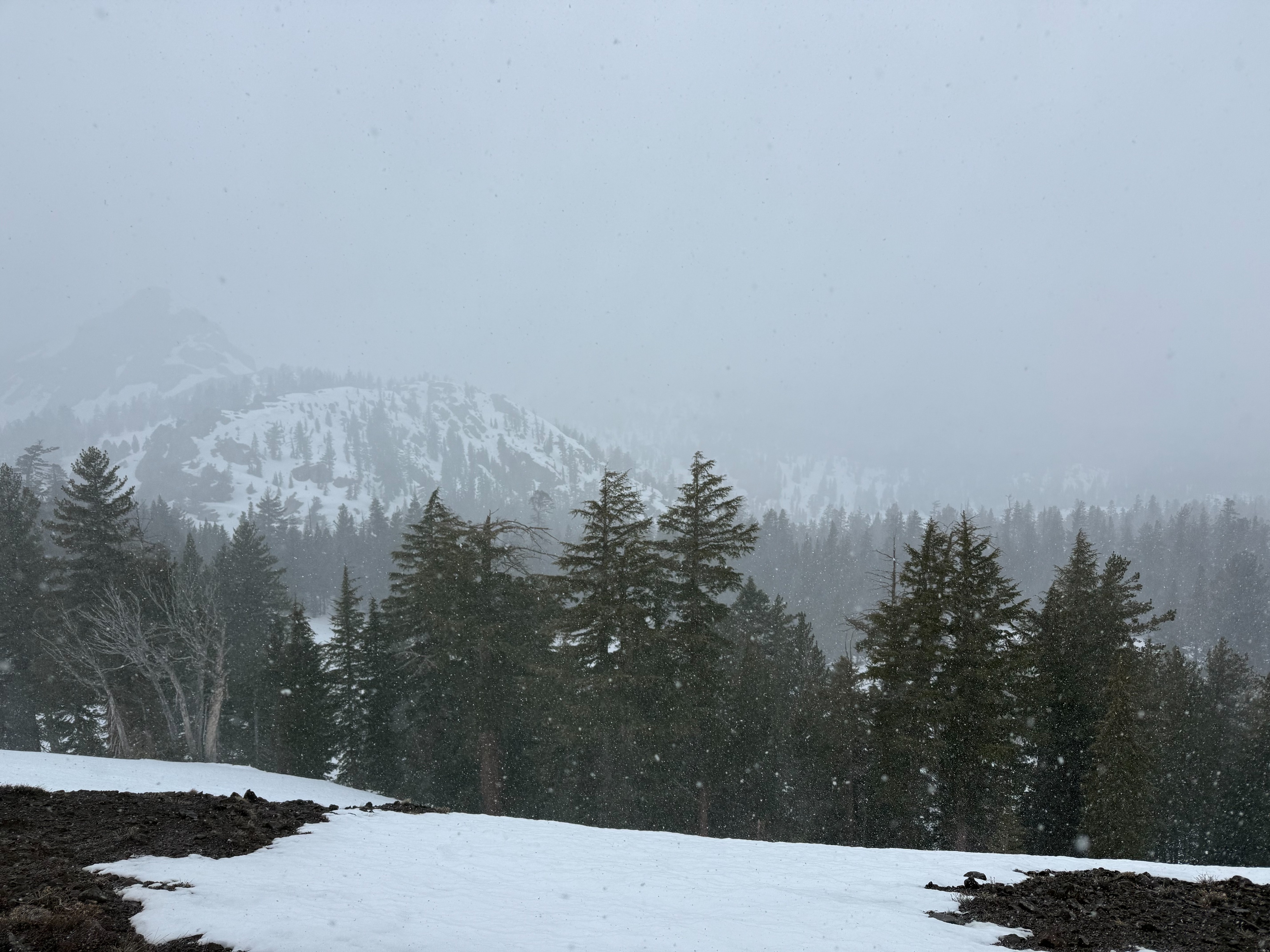
We could see the remnants of multiple older avalanches, some crowns could have been from Feb 10 cycle and some were cornice or rock fall from the rain event. One cornice fall was fairly fresh in a gully off of the road. These were all on northerly aspects above treeline terrain. All aspects had wet snow, even at 8800ft where we dug our pit. In the hour or two we were at 8800 feet around 1:30pm, it was snowing graupel, ice and rafted particles. There were trace amounts sticking to the ground and snow surface. I am not sure if it was snowing up there when we left because there was a break in the precipitation and then it quickly turned to rain as we decended. The other objective of the day was to assess the February 10th layer. We were surprised to get results on this layer since the tests performed earlier this week indicated that this layer was strengthening. Thes previous tests were in different parts of the forecast region and this layer was 20 centimeters deeper. The nights of no refreeze and liquid water in the snow pack means our snowpack is changing.
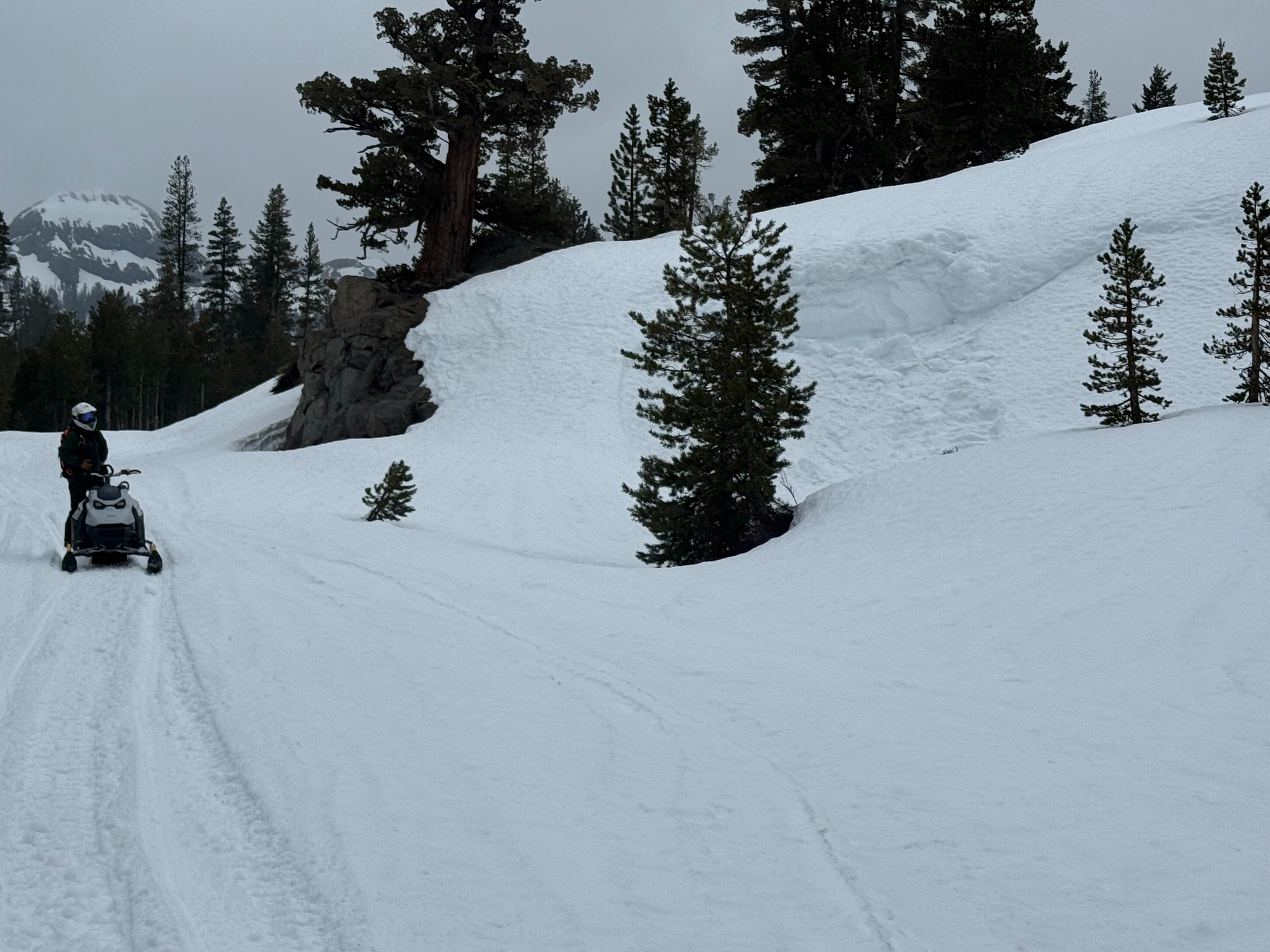
Snowmobiling riding conditions were enjoyable but wet.
Weather
- Air Temp
- 37
- Cloud Cover
- overcast
- Wind Loading
- none
- Rain Elevation
- 8500 ft
- Recent Snowfall
- trace
- Snow Avail For Transport
- small smounts
It started to lightly rain at 11:00 am, overcast skies and warm temperatures. The rain varied in intensity but was consistently present throughout the day with small breaks. Above 8500 feet the rain turned to snow including graupel, ice pellets, and rafted snow particles. On the way home, Hope Valley and Luther pass were getting heavy rain causing water runoff and pooling in meadows. 37 F degree temps, moderate SW wind with strong gusts.
Snowpack
We easily triggered multiple D 0.25 wet loose (sluffs) on test slopes. The surface snow was wet and unconsolidated and was easily entraining the top 10 cm of snow. Snowballs and rollerballs would pinwheel and then break up. We dug a snowpit on a north aspect at 8800ft to assess the February 10 layer. We saw multiple results within our compression tests and extended column tests. We got CT20, CT17, and CT11 with a sudden collapse at 42cm below the surface in the February 10 layer. We also had two out of three ECT results give scores of ECTP22 and ECTP17 @ 42cm down. We got no notable results on our PSTs. This is the closest I have seen Feb 10th layer to the surface and the first one to react to an extended column test. Boot penetration was on average 28cm but could be up to 60cm.