
Quick report
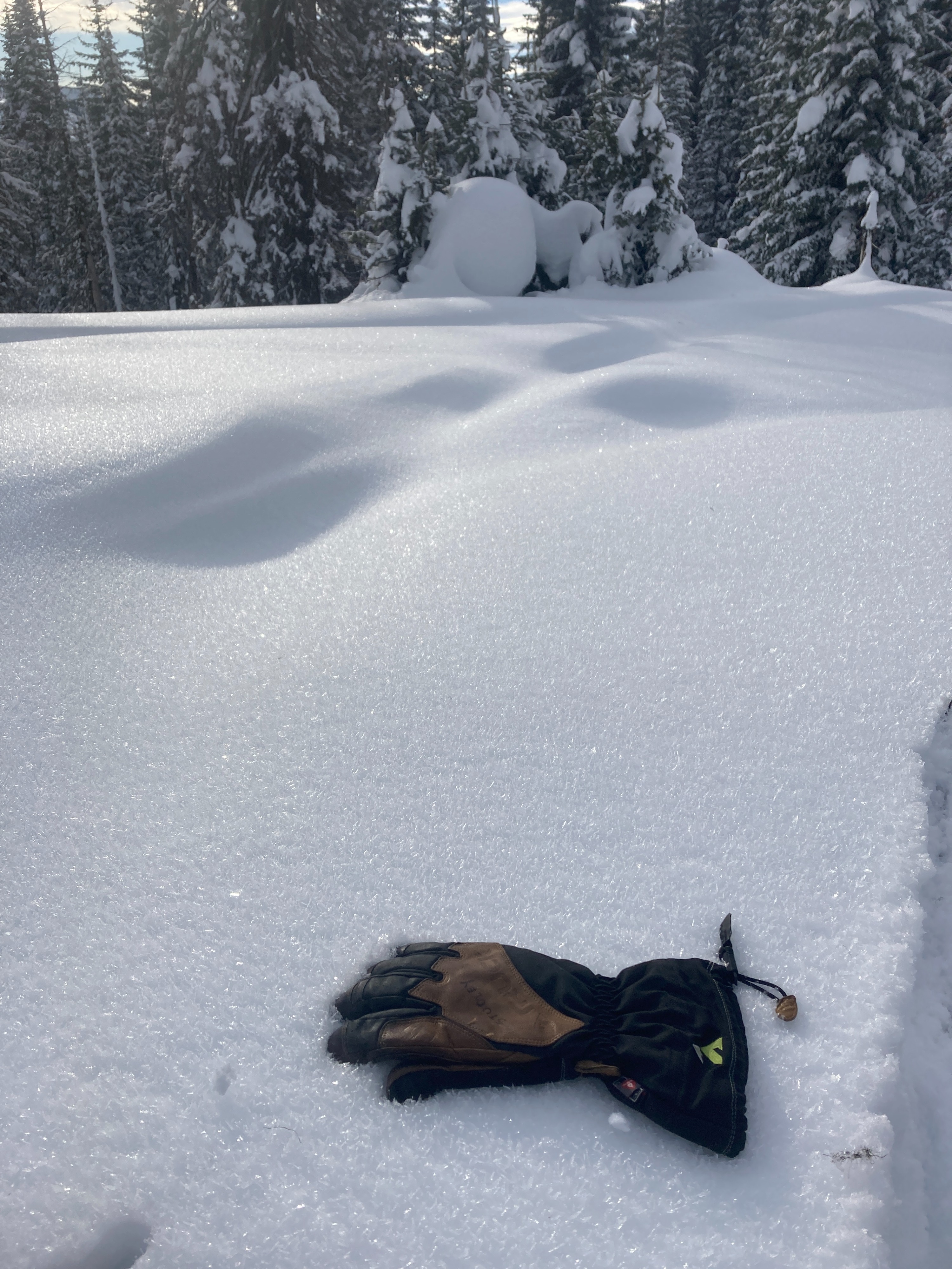
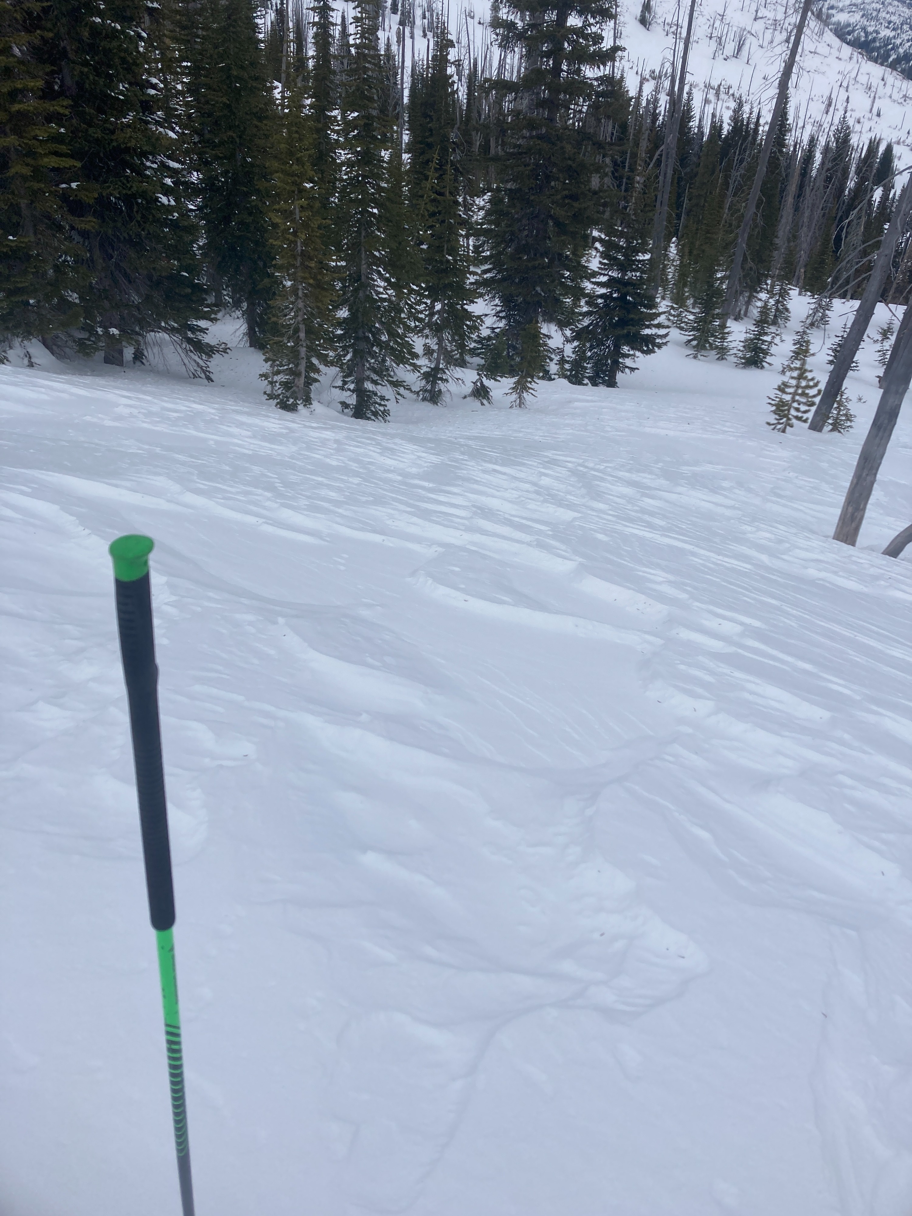
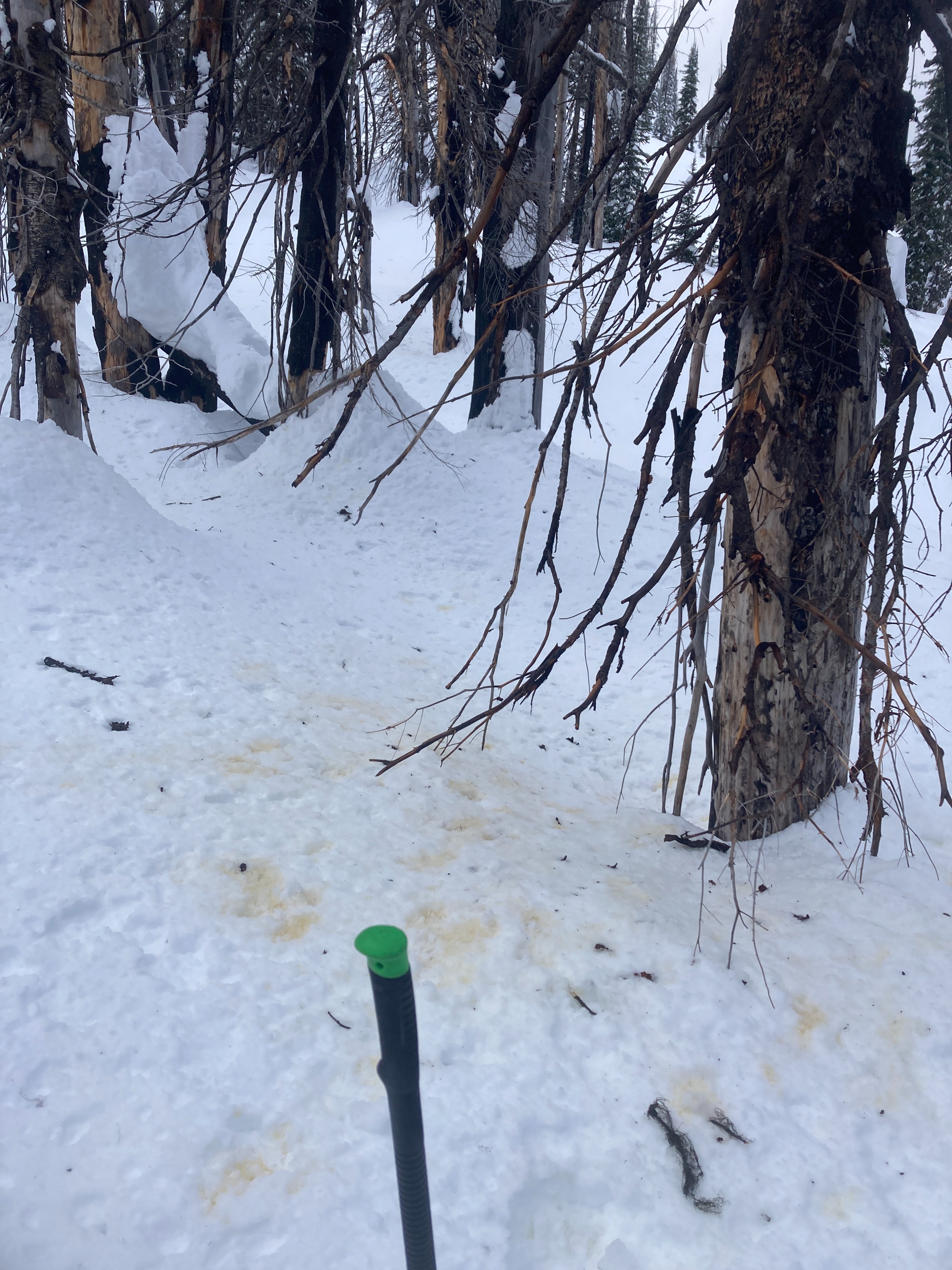
Another brief strecth of unseasonably warm weather in the mountains for this time of year. Another round of weak layers have formed at the surface and will likely be buried this weekend. Older PWLs are becoming stubborn are appear to be trending to down. Strong winds heavily affected snow surfaces across multiple aspects above 7000' earlier this week. Warm temperatures were dampening the snow surface on solar aspects and trees were shedding snow and water around 7000'.
Stability trend is improving. No obvious signs of instability noted in this area. We did received a ECTP 28 in one snowpit around 7600 on a N aspect.Weather
- Cloud Cover
- broken
- Wind Loading
- previous
- Snow Avail For Transport
- small smounts
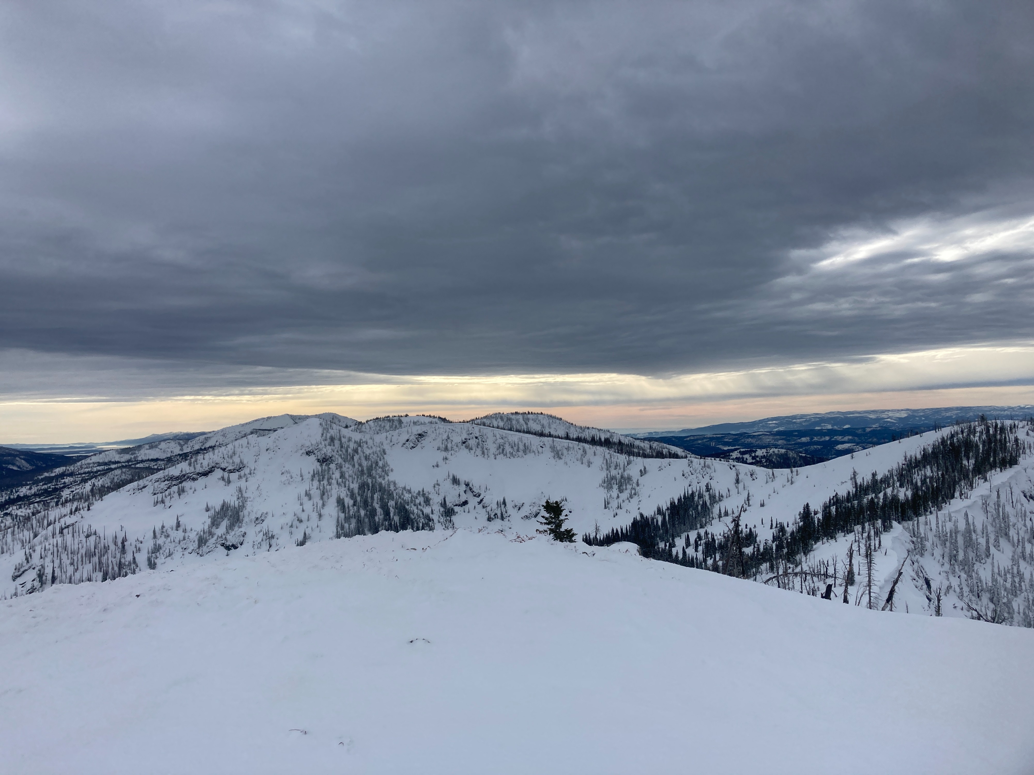
Patches of sun and clear skies during the mid morning hours. Cold air was pooling in the low spots. Unseasonably warm temperatures with light winds out of the S/SE/SW (depending on elevation). Skies became more overcast during the afternoon hours with a lower cloud ceiling. Temperatures remained warm and trees were shedding snow and water around 7000' during the PM.
Snowpack
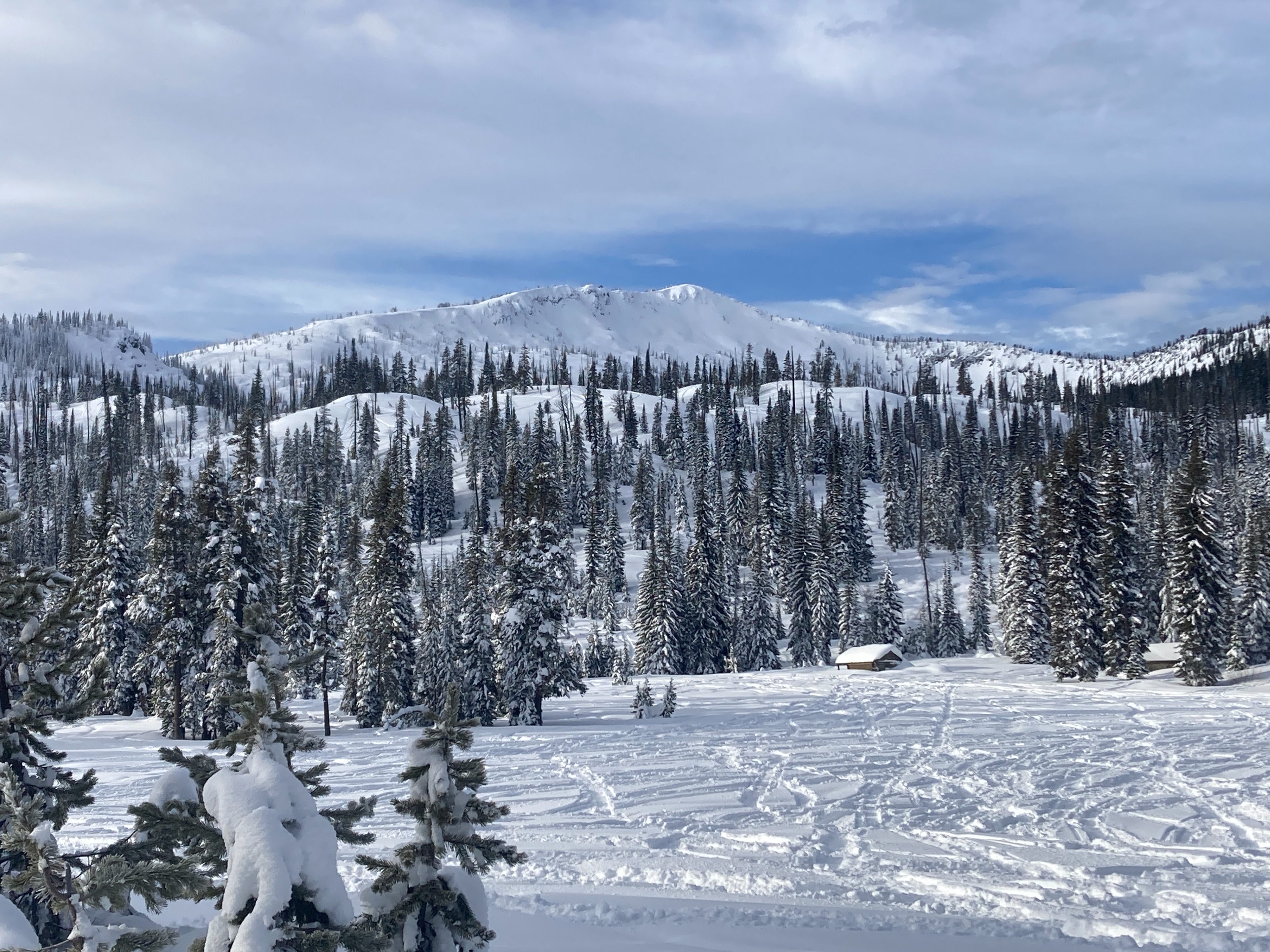
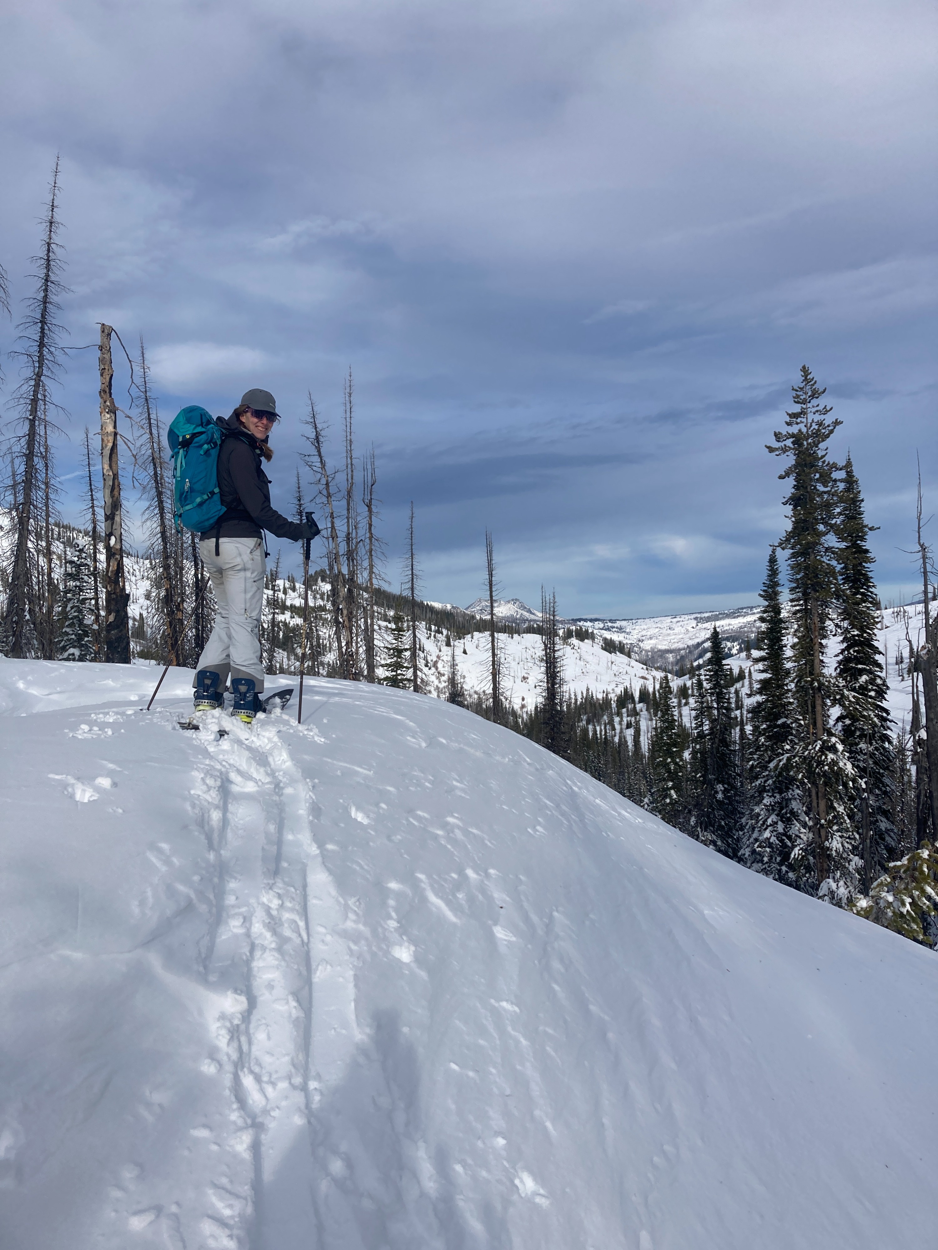
We traveled from about 6800' at the TH to about 8100 at the top. We observed solar and shaded aspects on the ascent. We dug one pit on a S aspect around 7000' with around 4.5 ft. of snow. Weak layers were noted at similar interfaces that we've found elsewhere over the past week. These weak layers did not show the potential to propagate in this pit. Another snow pit was at 7600' on N aspect with 6 ft. of snow. Failures were noted within the recent storm snow on wind/density changes. We received an ECTP 28 on a weak layer that was responsible for a widespread avalanche cycle earlier this week.
Avalanche
One older crown was barely visible just below the ridgeline. A north aspect, heavily wind-loaded. D1-D2 probably ran at the peak of instability (Monday or Tuesday) of this week.