
Quick report
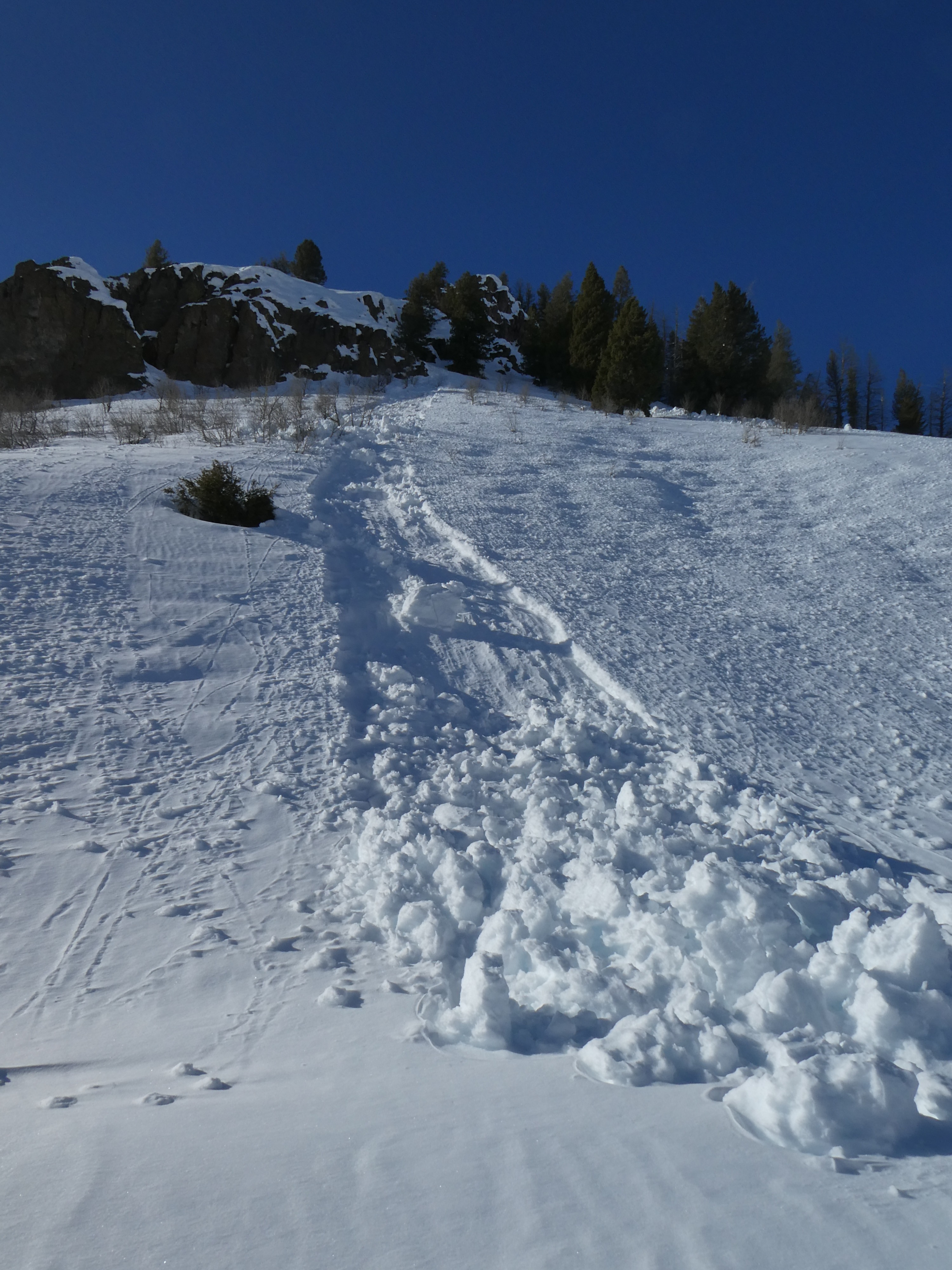
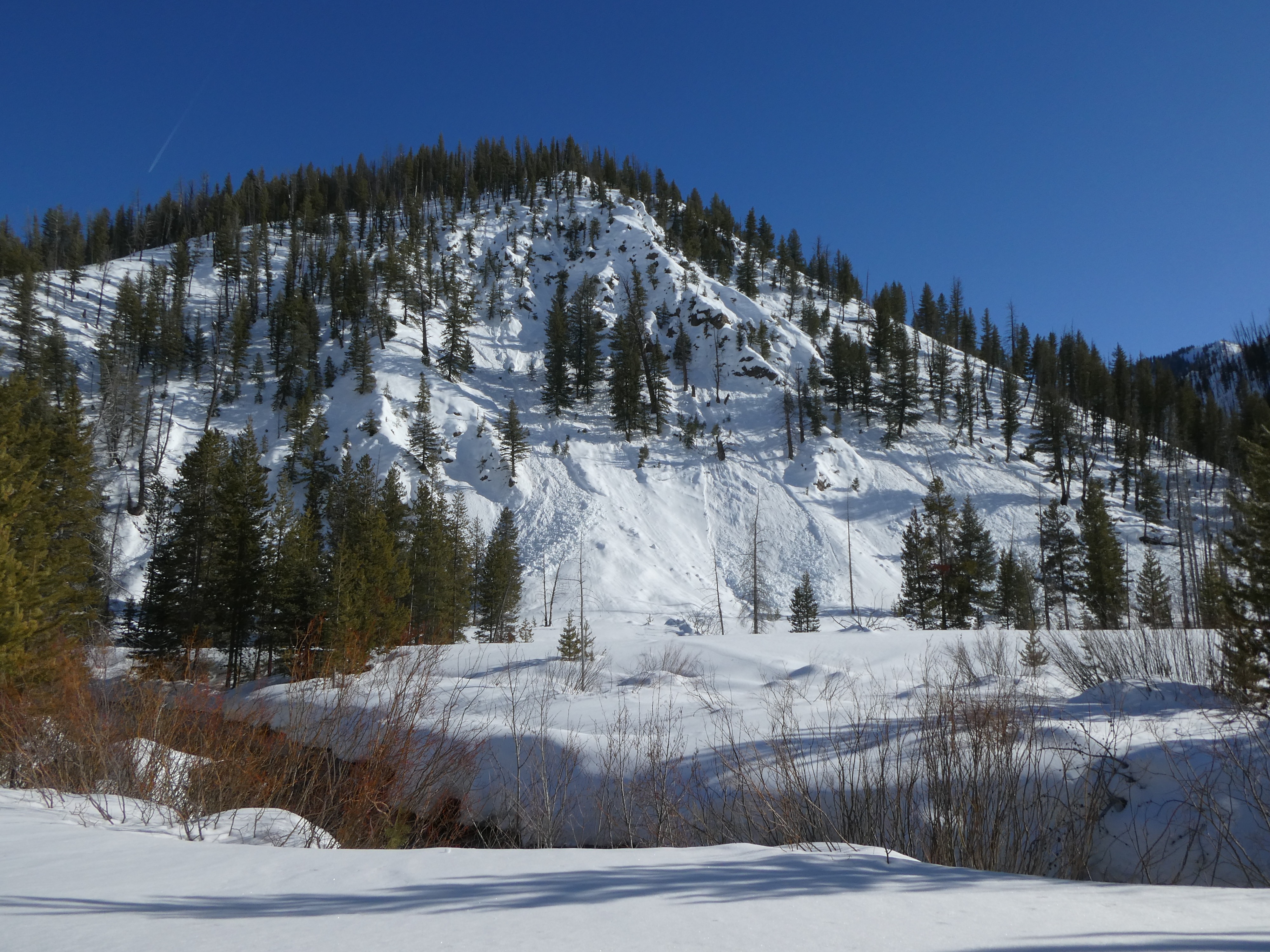
Near Placer Ck. We found a generally deep and stable snowpack. January weak layers were buried deeply and yielded no results in our stability tests. On the solar side of the compass, warming was surficial with only the upper 1-2" of snow becoming wet by midday above 8000'. We saw a handful of wet loose avalanches on S, SE, and SW aspects that likely happened the day prior, with no new activity observed through the day.
Roller balls and pinwheels in steep solar aspects mostly happened yesterday, with some additional through today. We saw a small handful of small up to D1 wet loose slides in rocky solars, mostly below 7500' and in terrain sheltered from the breeze.Weather
- Cloud Cover
- clear
- Wind Loading
- previous
- Rain Elevation
- 7200
- Snow Avail For Transport
- small smounts
Clear skies and light winds, temperatures were warm, but with a light S/SW breeze, it never felt "hot".
Snowpack
Surfaces: The snowpack's upper 3-5 cm was trending towards wet above 8000', but was surprisingly dry-moist below that. Near-surface facets have formed on the snow surface on shady slopes sheltered from the wind. Near or adjacent to ridgetops, the wind has drifted the snow into a 10-15cm thick dense windboard, no cracking or collapsing was observed. This crust thinned on SW and SE facing slopes.
Below recent snowfall on southern aspects (~15 cm down) is a stout 8-10cm crust, the new snow has bonded well to this crust. Below the crust, the snowpack is moist, and any facets below are trending towards rounding. On the shady side of the compass, the HS ranges from 160-200 cm+. 01/31 is buried anywhere from 100-125 cm down and was unreactive in stability tests (ECTX).
Avalanche
- Size
- D1.5 R1
- Aspect
- W
- Trigger
- N
- Elevation
- 6800 ft
Noted 3 D1- D1.5 sun induced loose snow avalanches near the Warm Springs/Castle Ck junction. Difficult to say if these happened on the 26th or the day prior, but likley within the last 24 hours.