
Quick report
- Cracking
- specific
- Collapsing
- specific
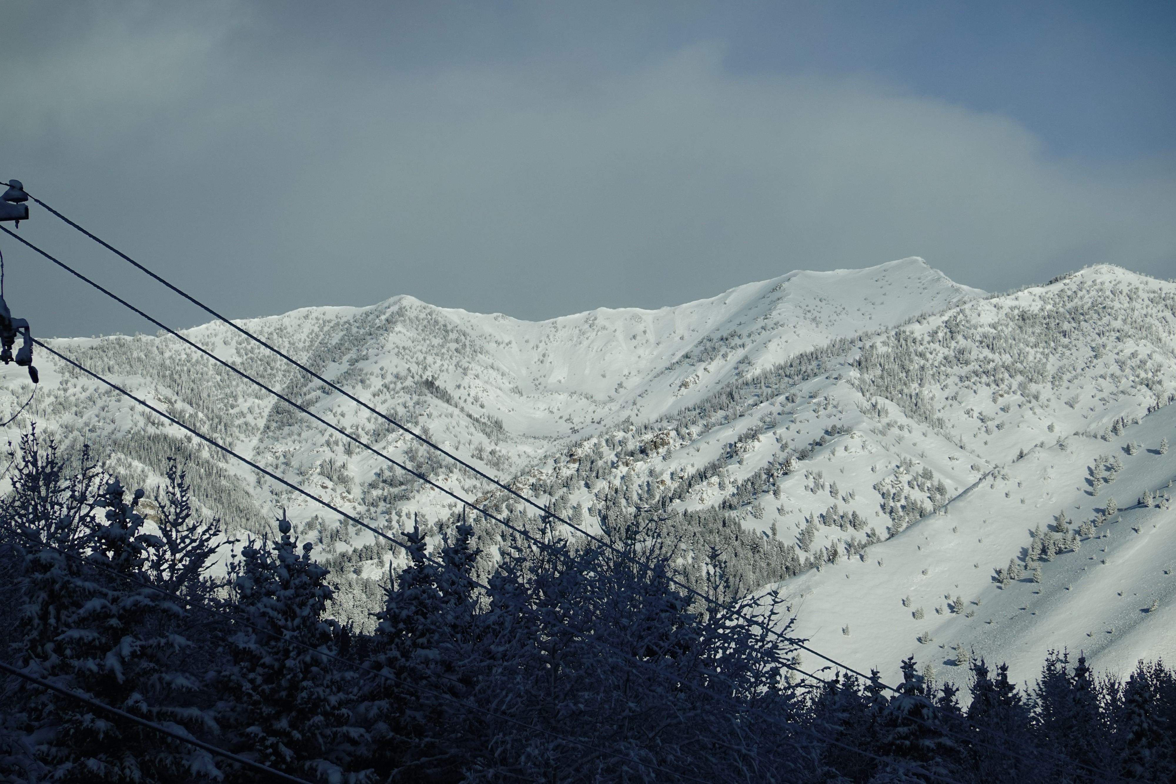
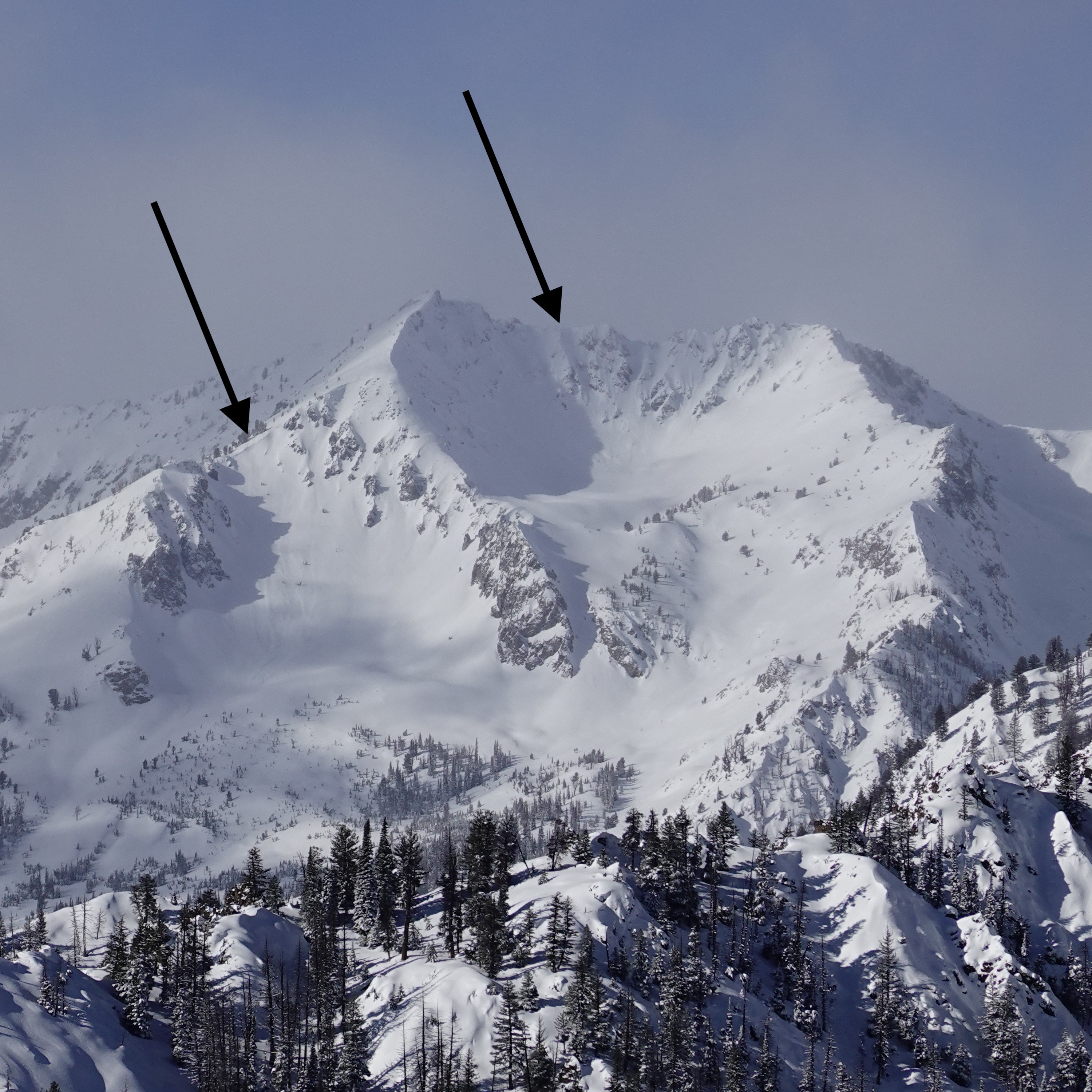
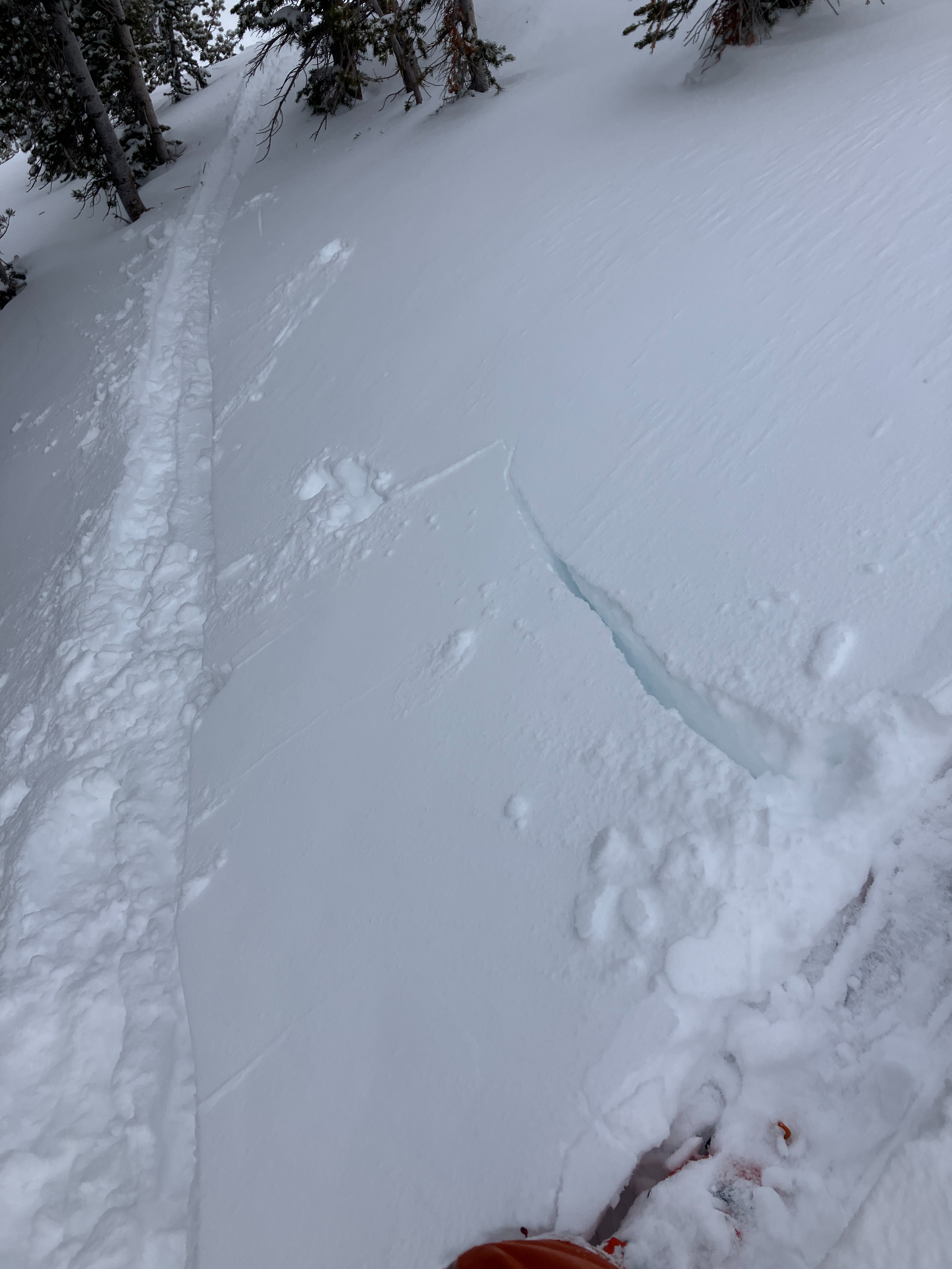
We found 6 to 12" of new snow and widespread wind-affected surfaces above 9,000 ft today. All of this new snow is resting on various crusts, facets, and surface hoar, resulting in observing a couple of long-running shooting cracks and booming collapses. We also spotted a few natural avalanches in steep upper elevation terrain during the brief window of partly clear skies this morning. All of this was evidence enough for us to keep out of avalanche terrain today.
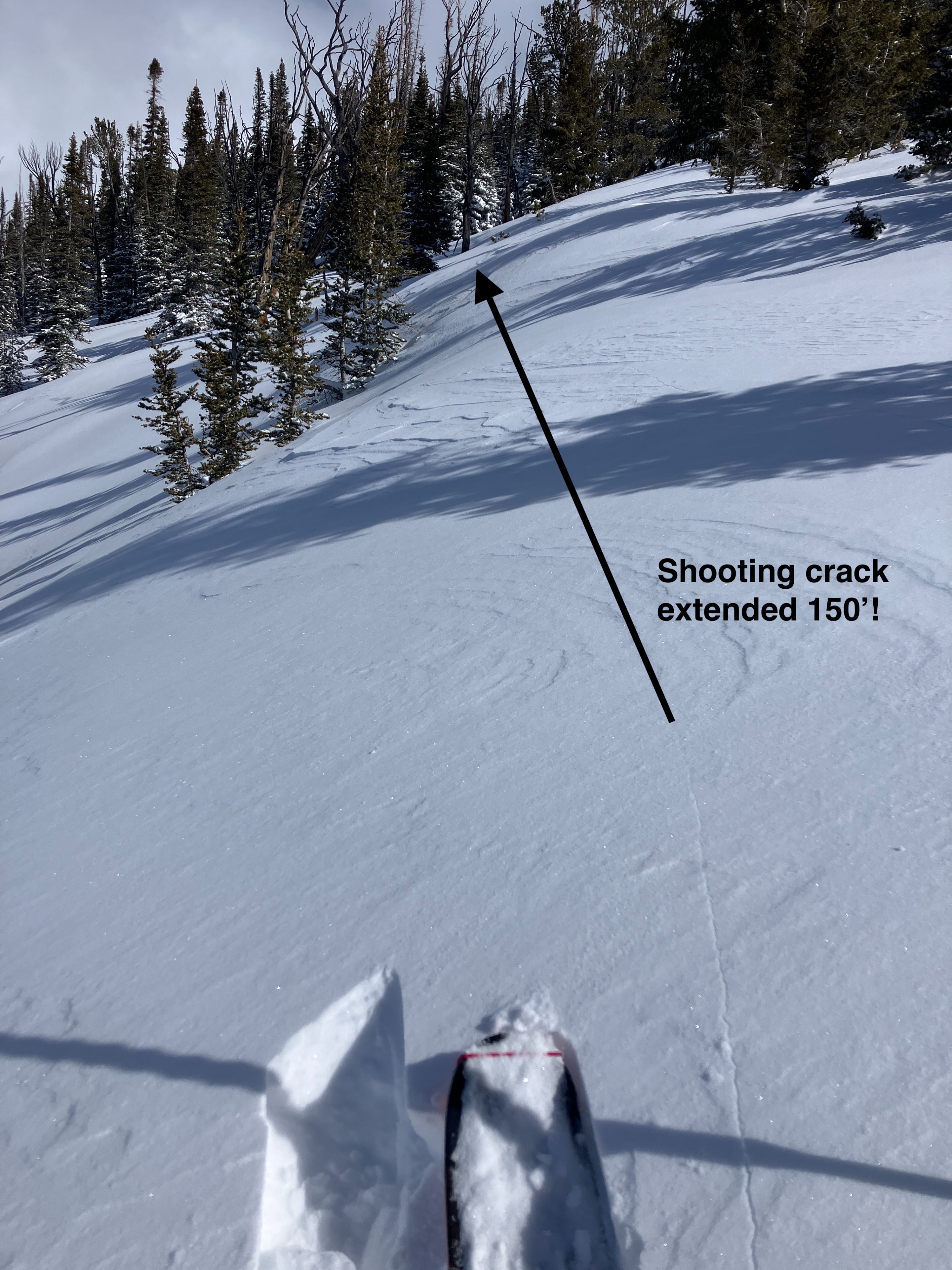
We observed a handful of small natural avalanches along the Goat Peak ridgeline and a few natural avalanches near Saviers Peak. We initiated shooting cracks in the new snow that extended up 150 ft away along wind-loaded ridgelines. We also felt and heard a handful of mostly localized collapses in wind/sun sheltered terrain with the exception of one large booming collapse at 9400' in very sheltered terrain on buried surface hoar.Weather
- Air Temp
- 10 to 15
- Cloud Cover
- overcast
- Wind Loading
- light
- Recent Snowfall
- 20+
- Snow Avail For Transport
- moderate amounts
Partly clear skies this morning becoming overcast around 1pm. Snow squalls start then with flurries exceeding S1 rates at times. Variable light SW, W, and NW winds that were transporting snow above 10k.
Snowpack
Storm snow: We found 6-12" (15-30cm) of new snow sitting atop the old 2/10ish interface, with more snow above 9k'. The bottom 2" (5cm) of the new storm snow was firmer (F+) probably due to warmer initial temperatures and strong winds starting the storm, with the surface snow being quite light.
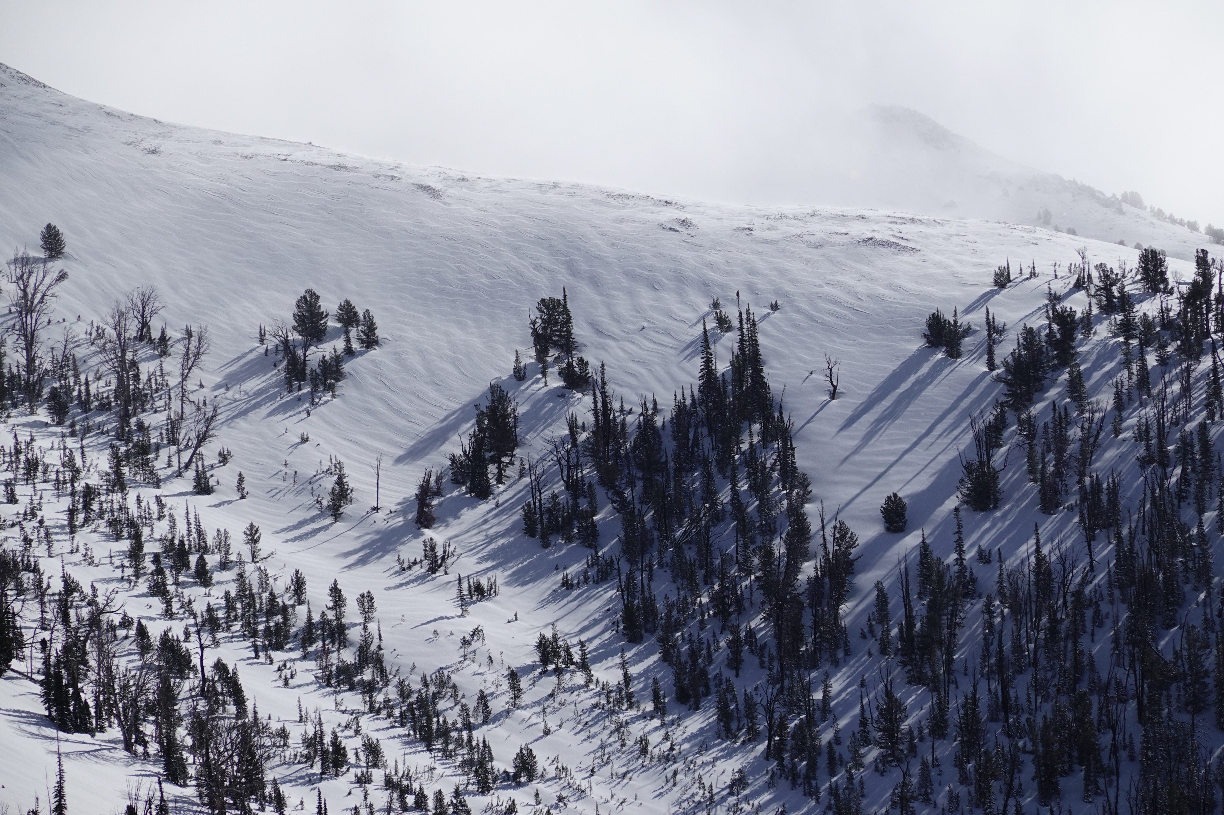
Winded surfaces: Wind-affected surfaces were common in open terrain above 9k'. Pinpointing specific aspects that have been preferentially wind-loaded was challenging given the variable wind direction during and after the Feb 16/17 storm. Wind-stiffened surfaces did provide the furthest-running shooting cracks that we found today, even though they were surprisingly soft slabs.
Feb 10(ish) snow: The old snow interface was generally a supportable crust on W, SW, and S aspects that was bonding well to the new snow. On NW and N aspects, the previous storm's snow had consolidated into 4F hard, very small-grained near-surface facets. In very sun/wind protected pockets, lingering surface hoar made itself known with a few booming collapses.
January facets: A widespread thick layer of weak, sugary snow is buried 16-25" (40-70cm) below the surface on most shady aspects. This weak snow is our greatest concern for triggering very large avalanches.
Avalanche
We observed a handful of small natural avalanches along the Goat Peak ridgeline and a few natural avalanches near Saviers Peak. All of these appeared to be smaller than D2 size and it was unclear if they were slab or loose avalanches.