
Quick report
It ended up being a very mild and pleasant day to go for a trail ride and observe the new state of the snowpack after prolonged warming and rain up to the upper elevations.
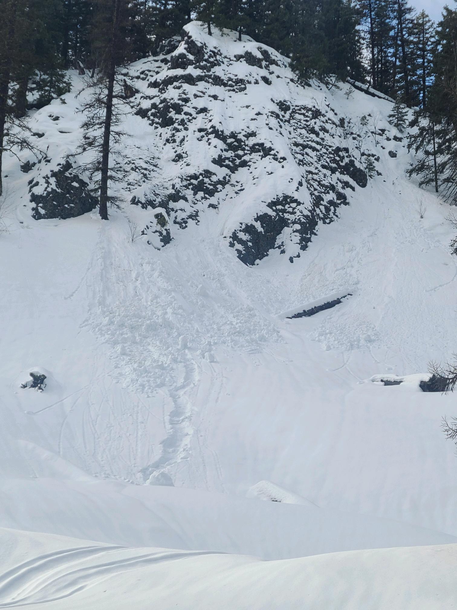
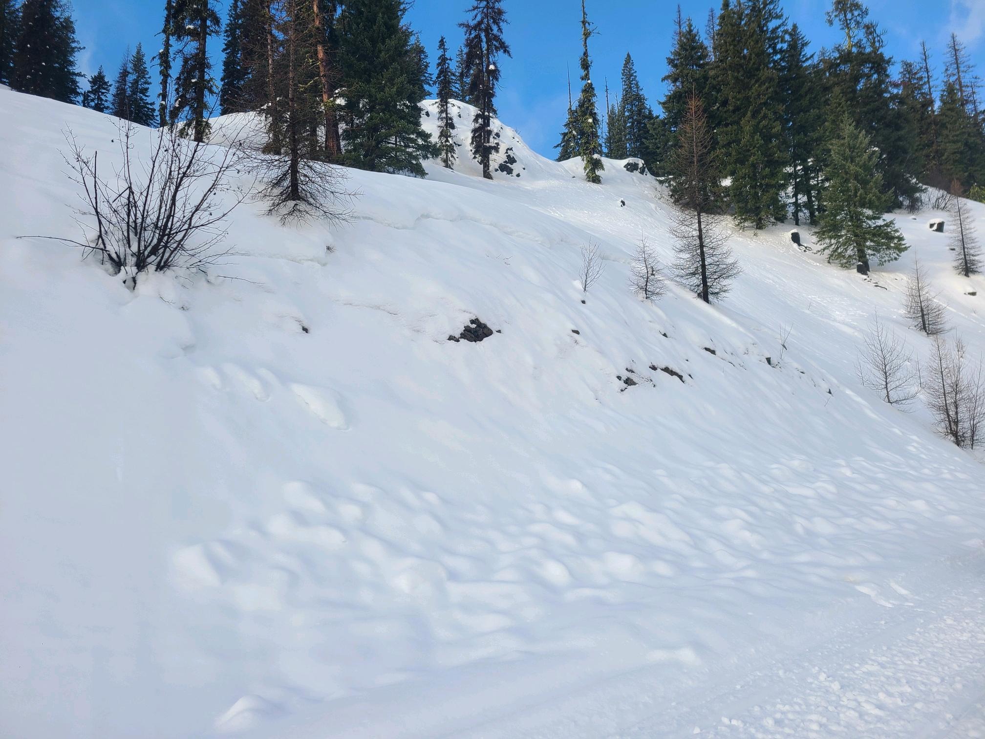
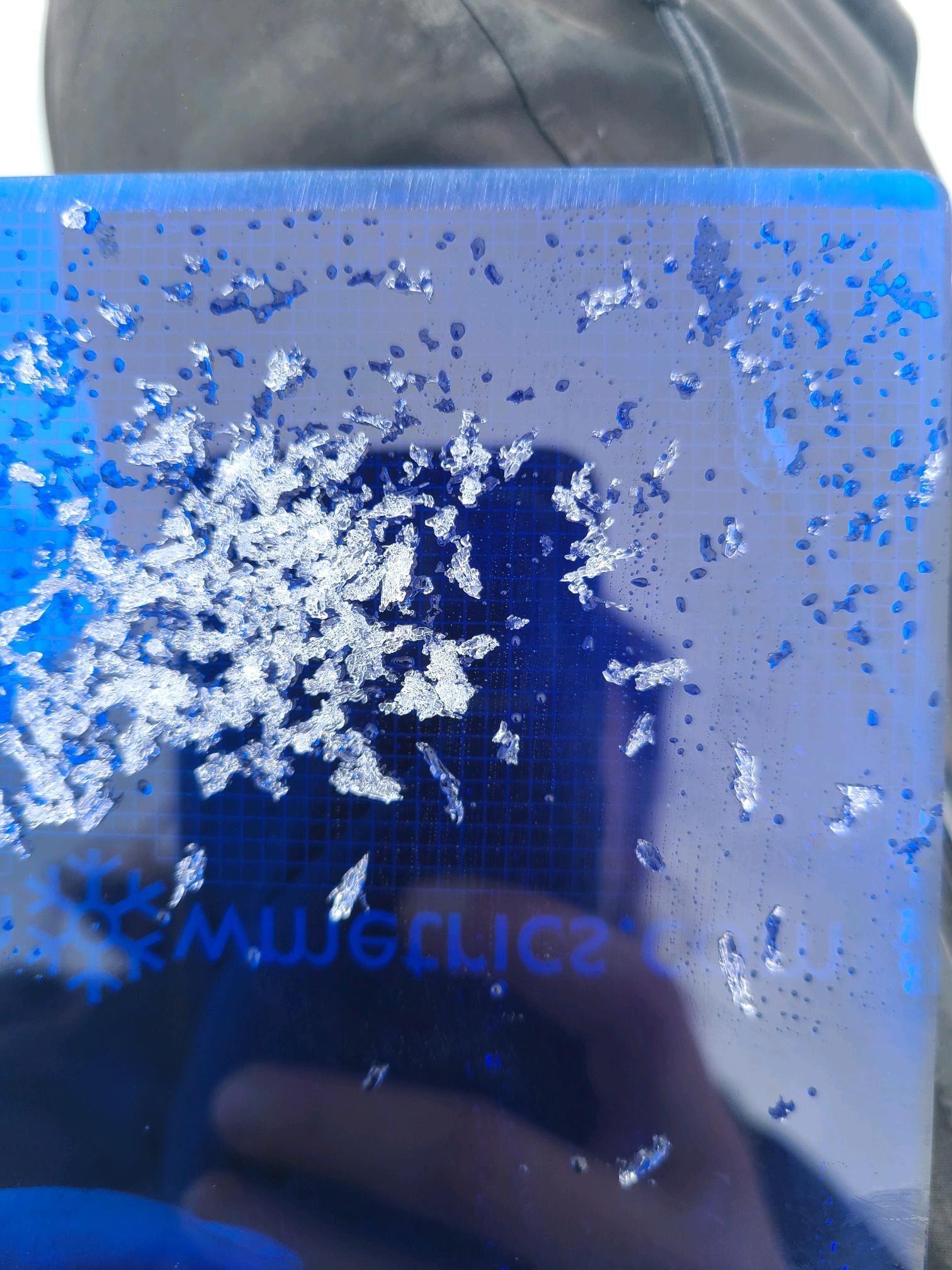
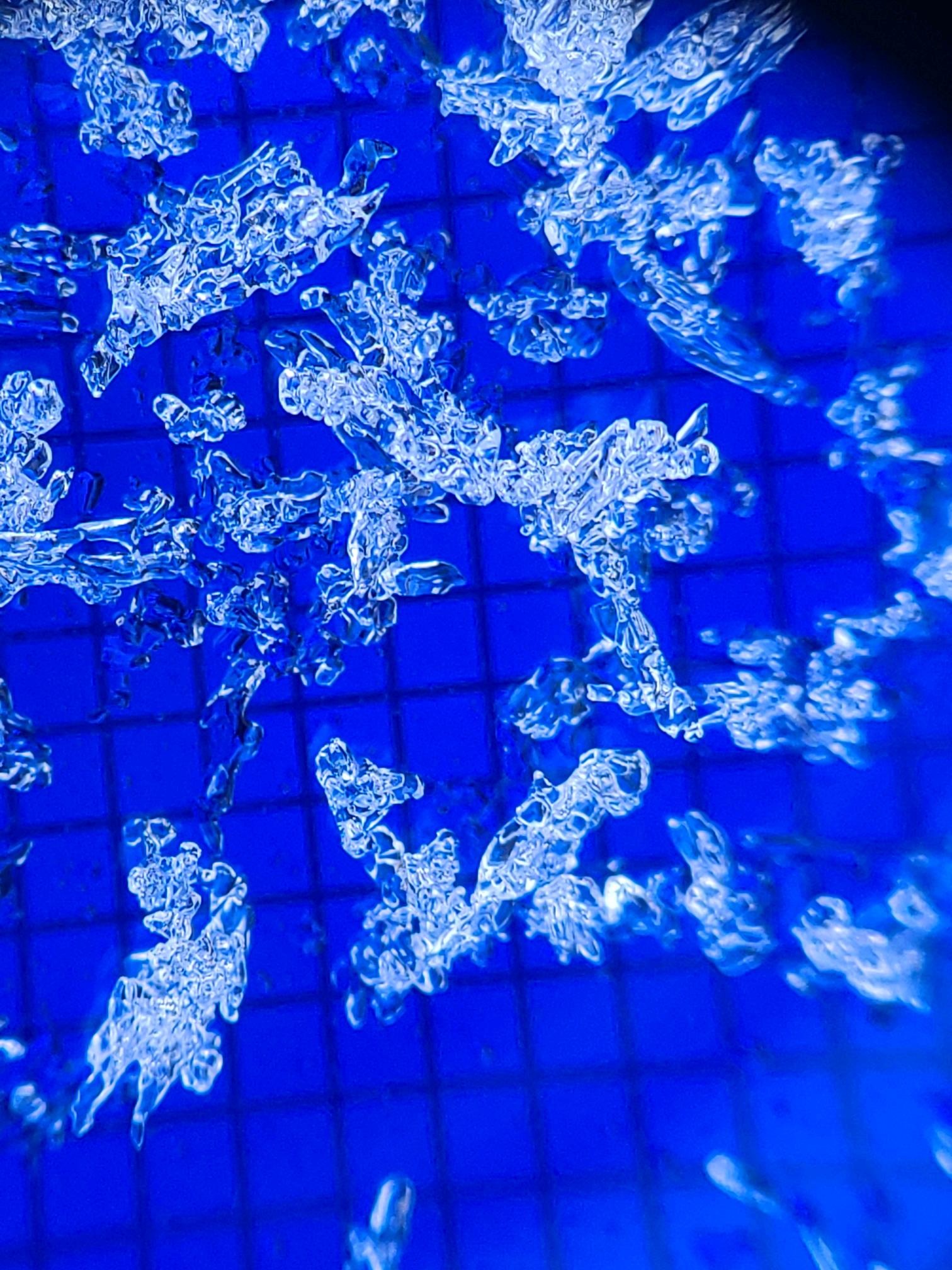
The evidence of the recent warming was widespread, with many slopes showing rollerballs and wet loose avalanches. Some of these avalanches ran on or near the ground. At upper elevations, I found a layered snowpack structure with dry snow below 30cm, even though there was some evidence water is moving through the snowpack. A layer of weak, faceted grains and surface hoar above the Solstice crust produced unstable test results.
Weather
- Cloud Cover
- broken
- Wind Loading
- previous
- Rain Elevation
- >6300ft
- Snow Avail For Transport
- none
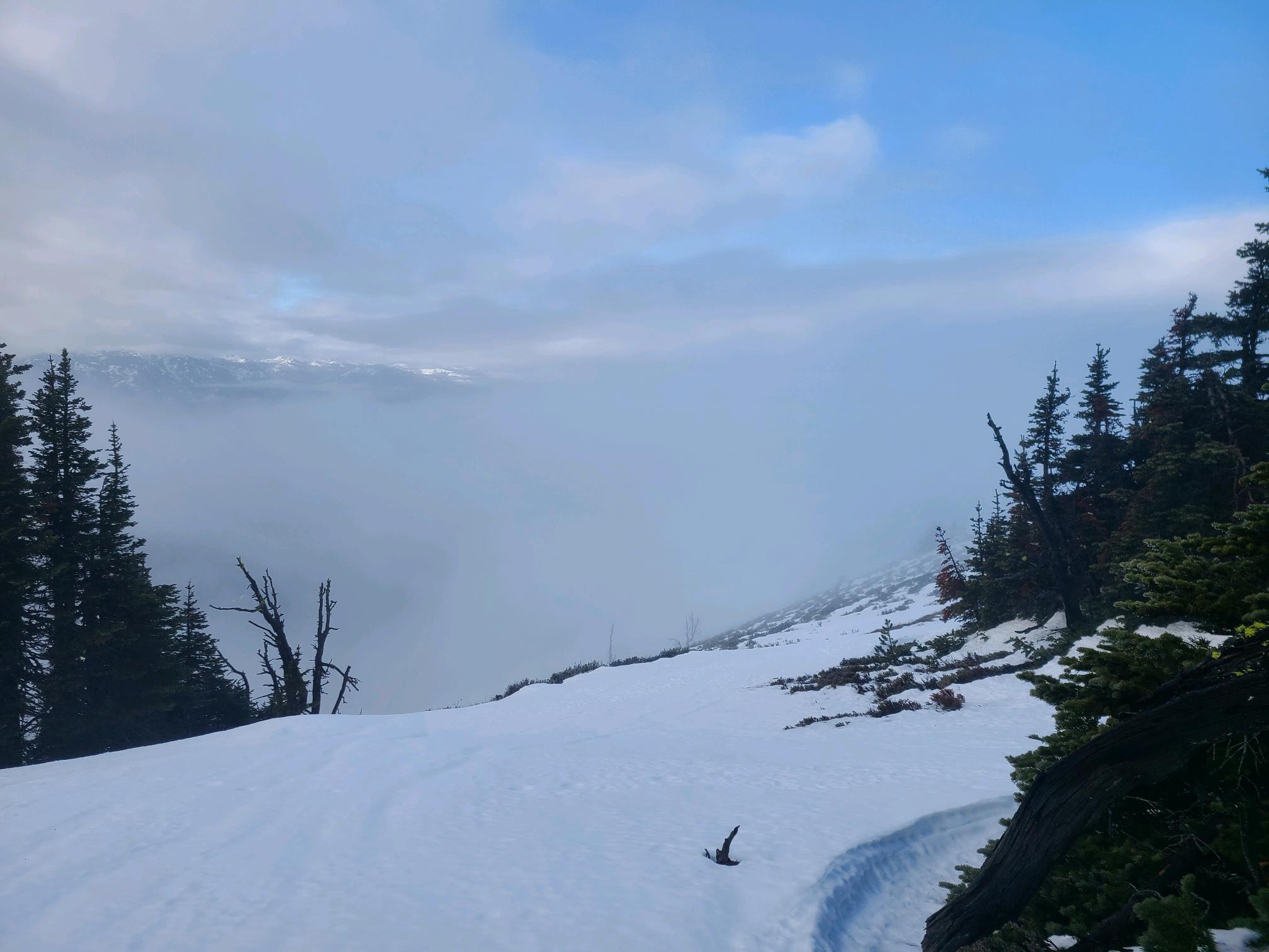
I spent the day bouncing in and out of various cloud layers. Valley fog hung in the low valleys, but you climbed above those quickly. There were even some clear skies and sunshine at mid-elevations further east. As I traveled higher and further west, I ended up back in some thin clouds spilling over the Cascade Crest. These thin clouds created a greenhouse effect, making the upper elevations feel muggy. With the inversion sitting at around 4500ft, temperatures were much cooler below and warmer up high, but nowhere I traveled would be considered cold by usual winter standards.
Snowpack
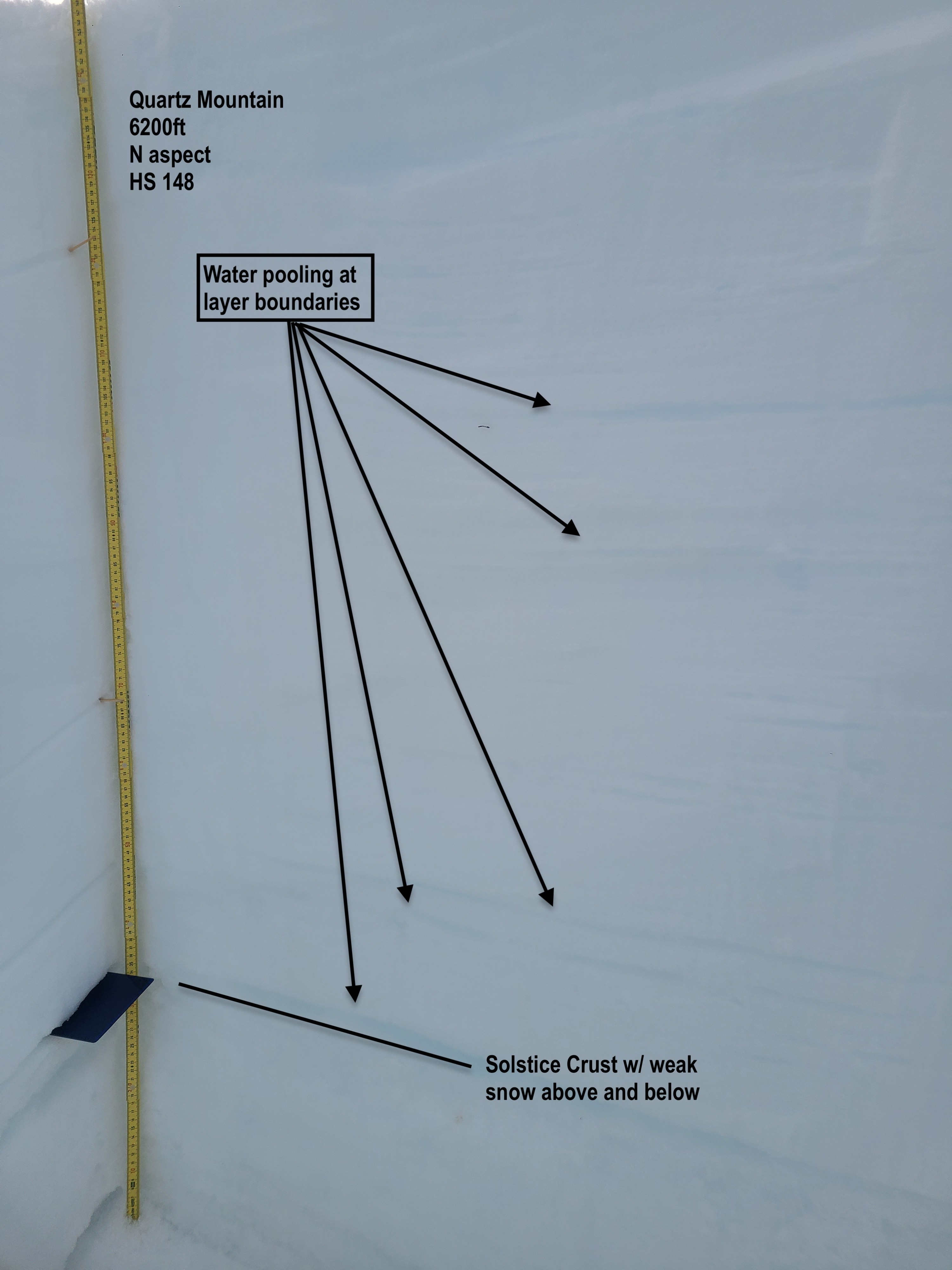
I dug a snowprofile on a northern aspect around 6200ft. The snow surface was runneled from the recent rain, and the upper snowpack was moist down to around 30cm. Even though I found dry snow in the mid and upper snowpack, water had percolated through established drain channels, and I saw water pooled at numerous layers down to the Solstice Crust.
HS 148cm
Boot pen: variable 15-30cm
Unfortunately, the only open, undisturbed spot I could find was closer to the ridge, and I found older, stiff, wind-drifted snow in the profile.
The upper 10cm was recent snow, now wet with two thin crusts near the surface, all resting over the 1/16 interface. Below this was a thick layer (~50cm) of stiff wind packed snow over 25cm of rounded grains. This stout upper snowpack all rests on a thin (1cm) layer of weak rounding faceted grains and surface hoar on top of the Solstice Crust. Propagation saw test results on this layer indicated a propensity for propagation, PST 30/100 End.