
Quick report
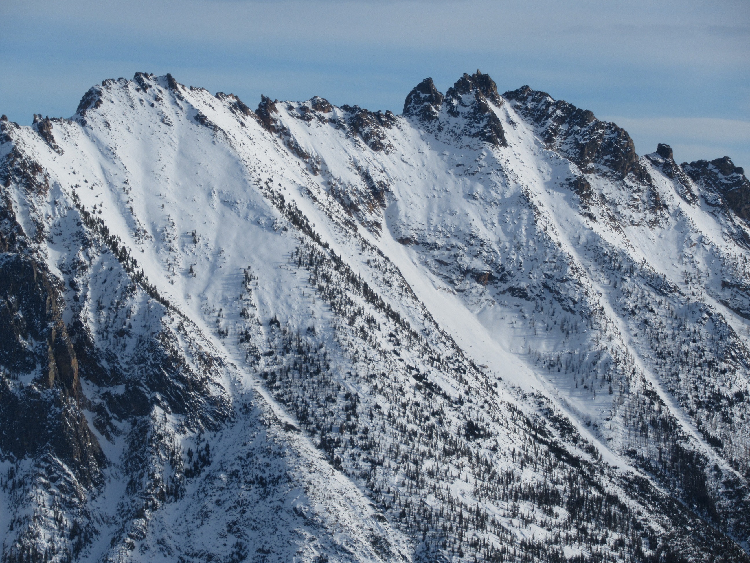
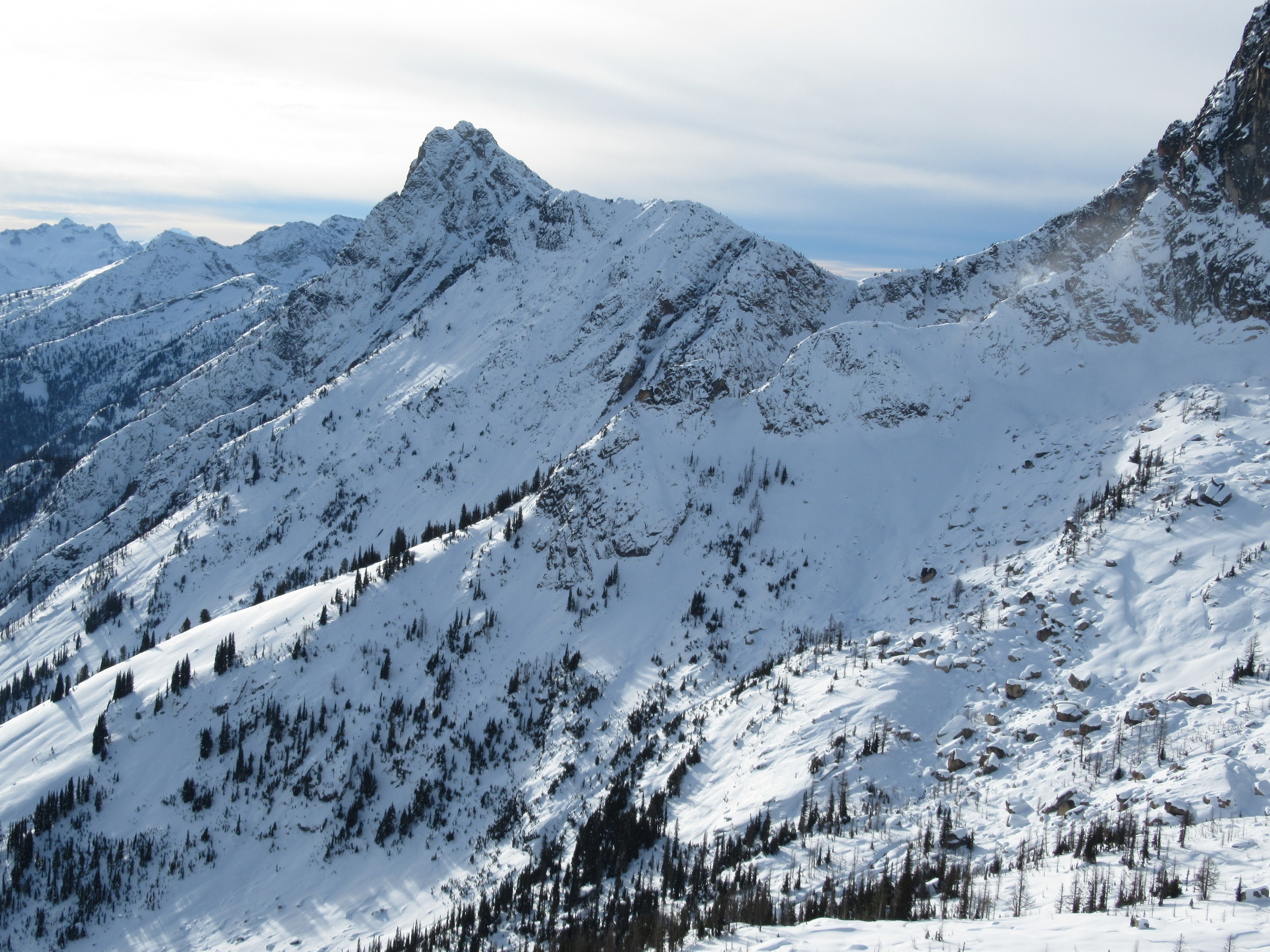
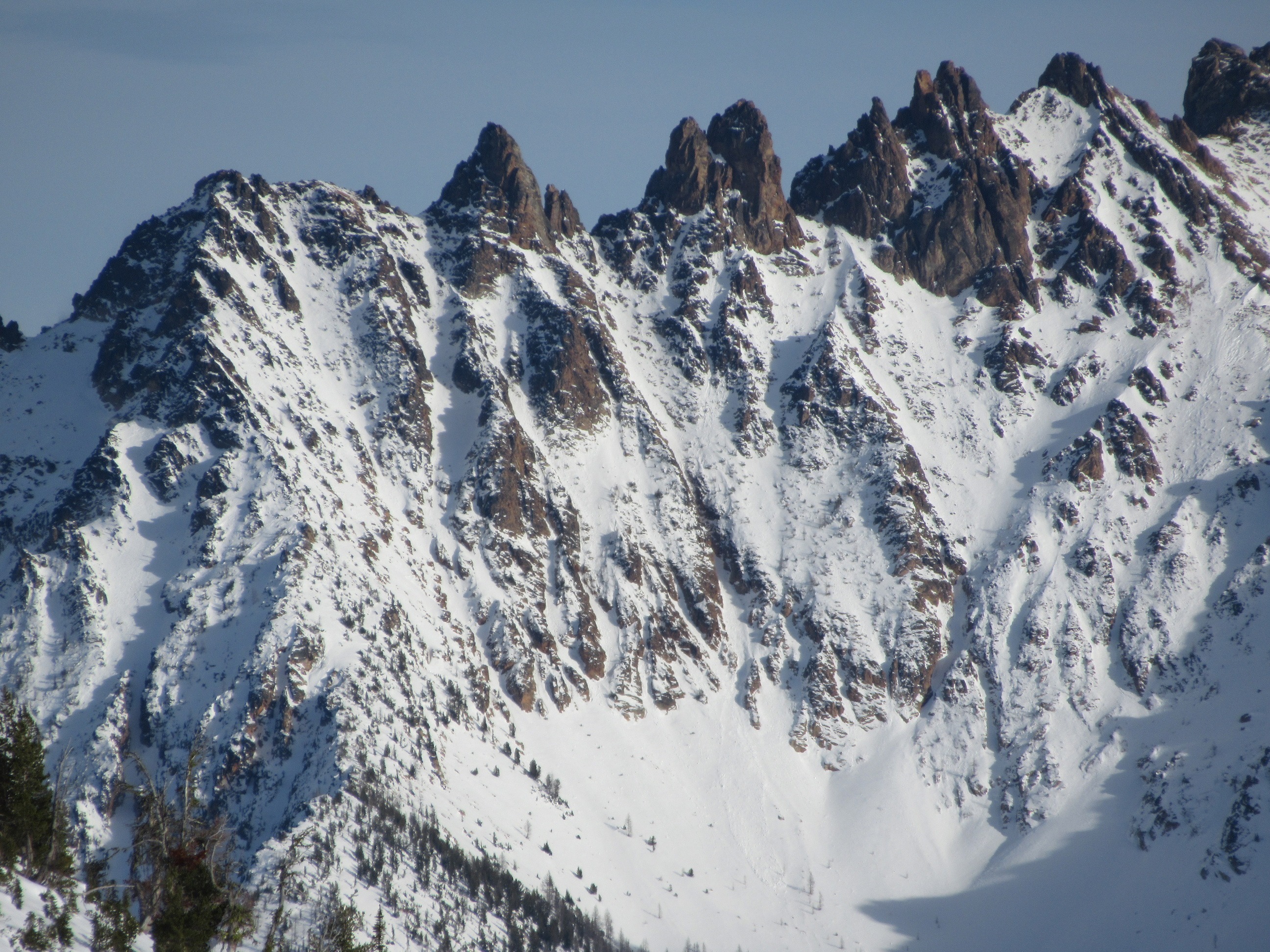
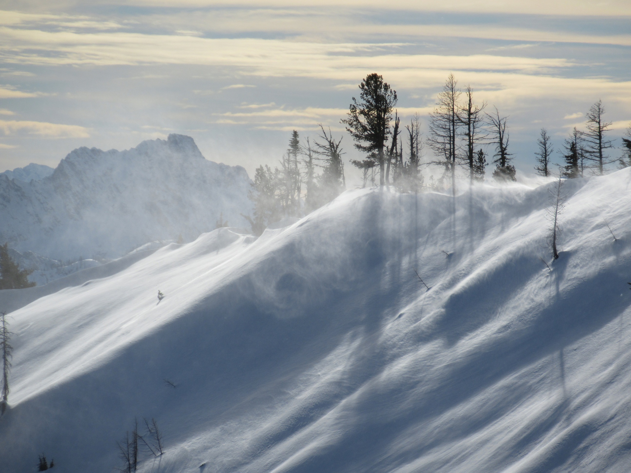
A few fresh, large rollerballs on steep south facing slopes. Wind loading became more and more consistent ridgelines as the day progressed. Temperatures were warm enough that these were bonding about as quickly as they formed in most of the locations we observed. We did find one area with minor cracking of a freshly wind loaded slope on a sun crust 10cm down.
Weather
- Cloud Cover
- broken
- Wind Loading
- moderate
- Recent Snowfall
- 10
- Snow Avail For Transport
- small smounts
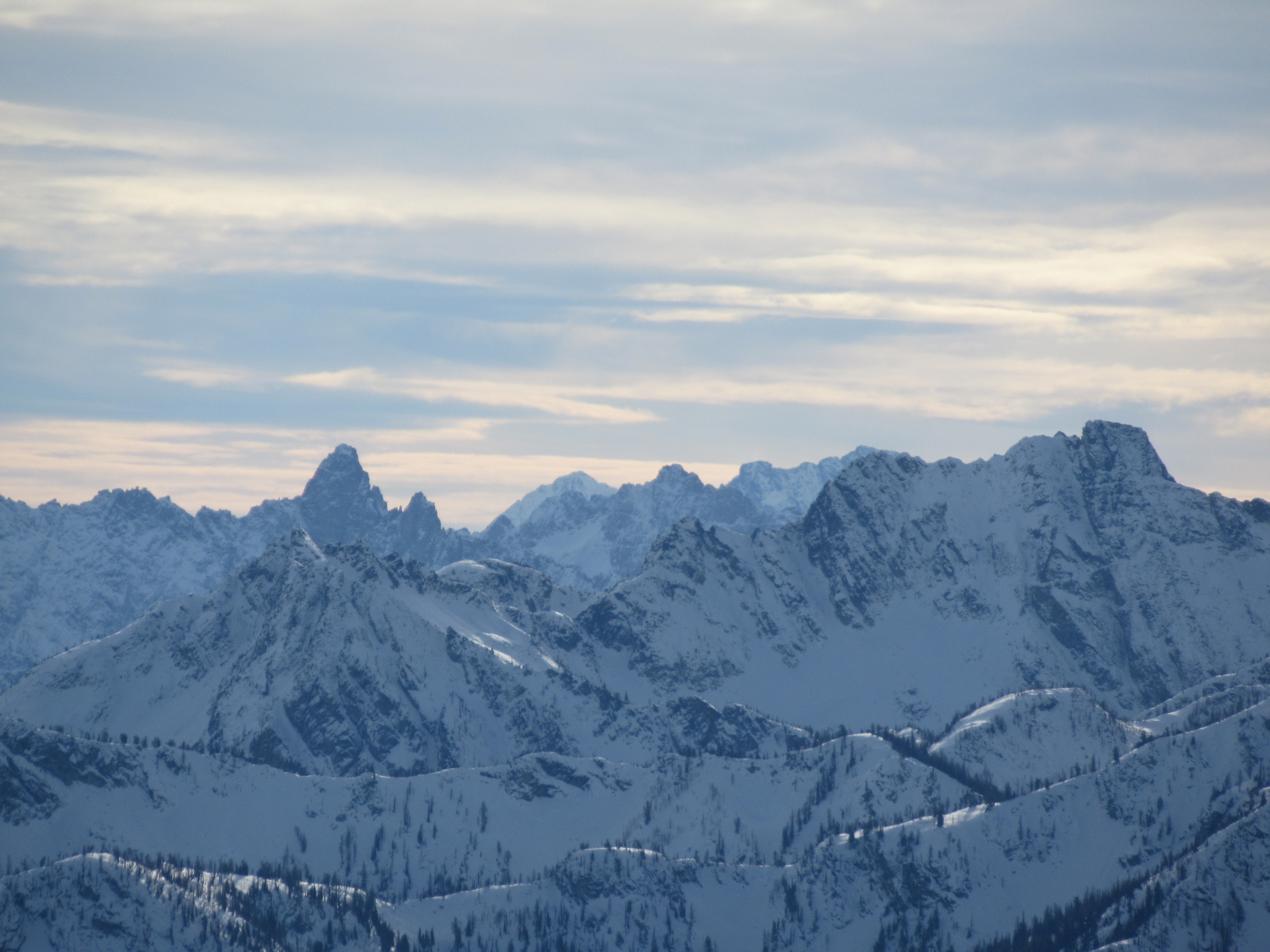
Mid layer stratus in the valley cleared out on the pass. Mostly sunny skies for a number of hours during the middle of the day. Inversion was present with balmy temperatures in the sun above 6,000ft. Wind and clouds increased and skies became overcast by 2pm.
Snowpack
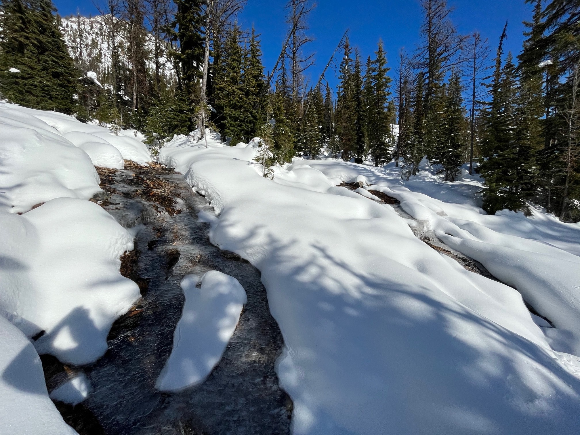
Coverage was quite good right around Washington Pass area with an HS of about 65cm at 5500ft and 79cm at 6,900ft. Below about 5,600ft the snowpack felt like it was beginning to weaken under cooler inversion temperatures, but no faceting apparent yet. Solar aspects have been melting down and are thinner than shaded slopes.
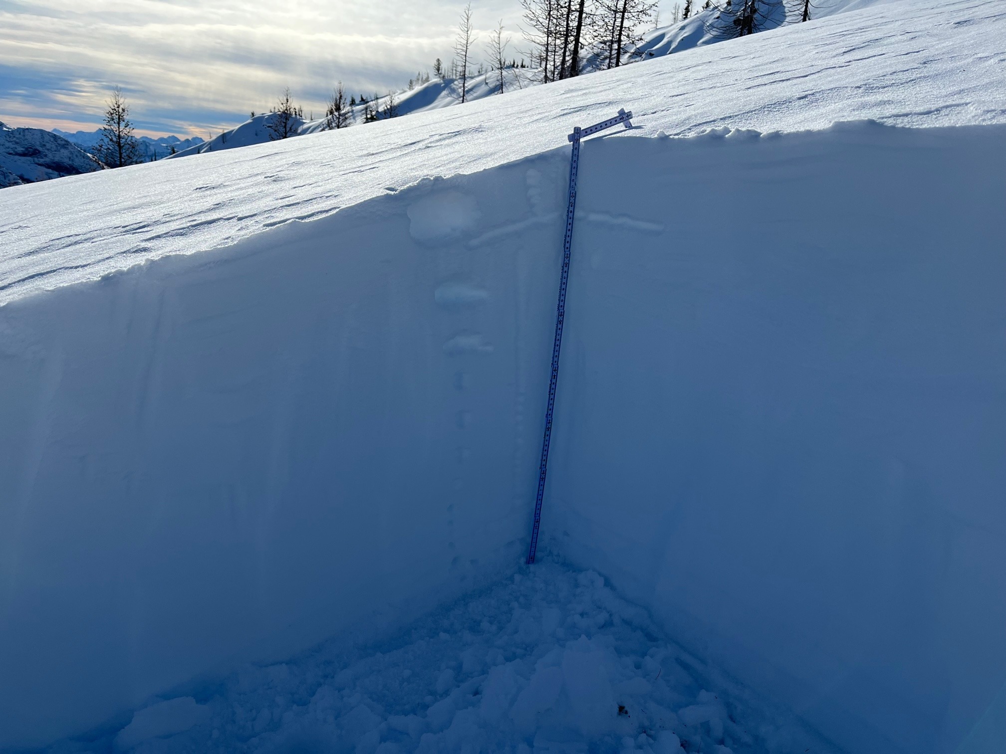
At 6,900ft on an ENE aspect we found HS of 79cm. There was 10cm of recent snow, but mostly the snowpack was made up of the storm layer from the 11th. The bottom layer was 10cm of melt freeze grains. We found no layers of concern.