
Quick report
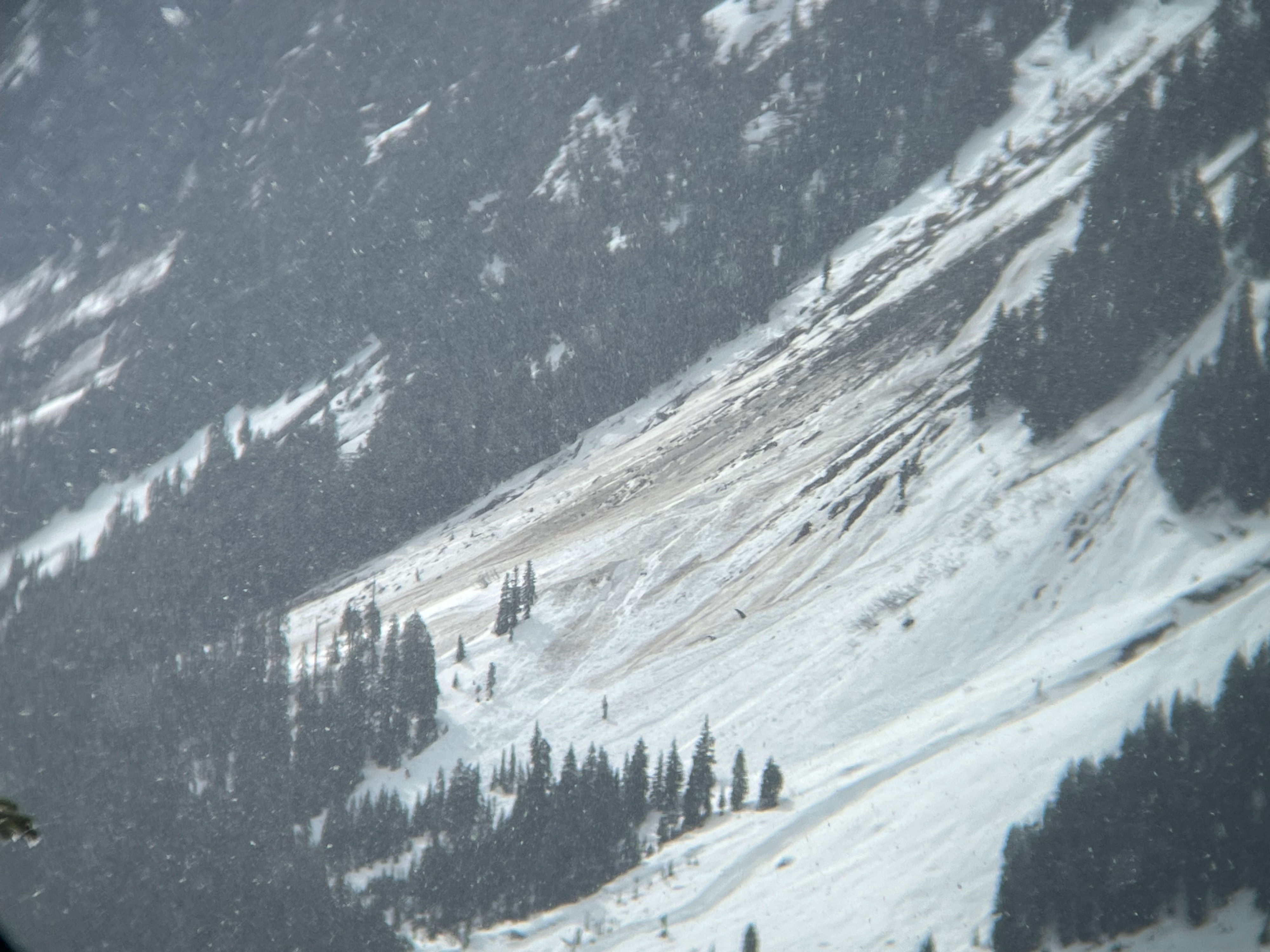
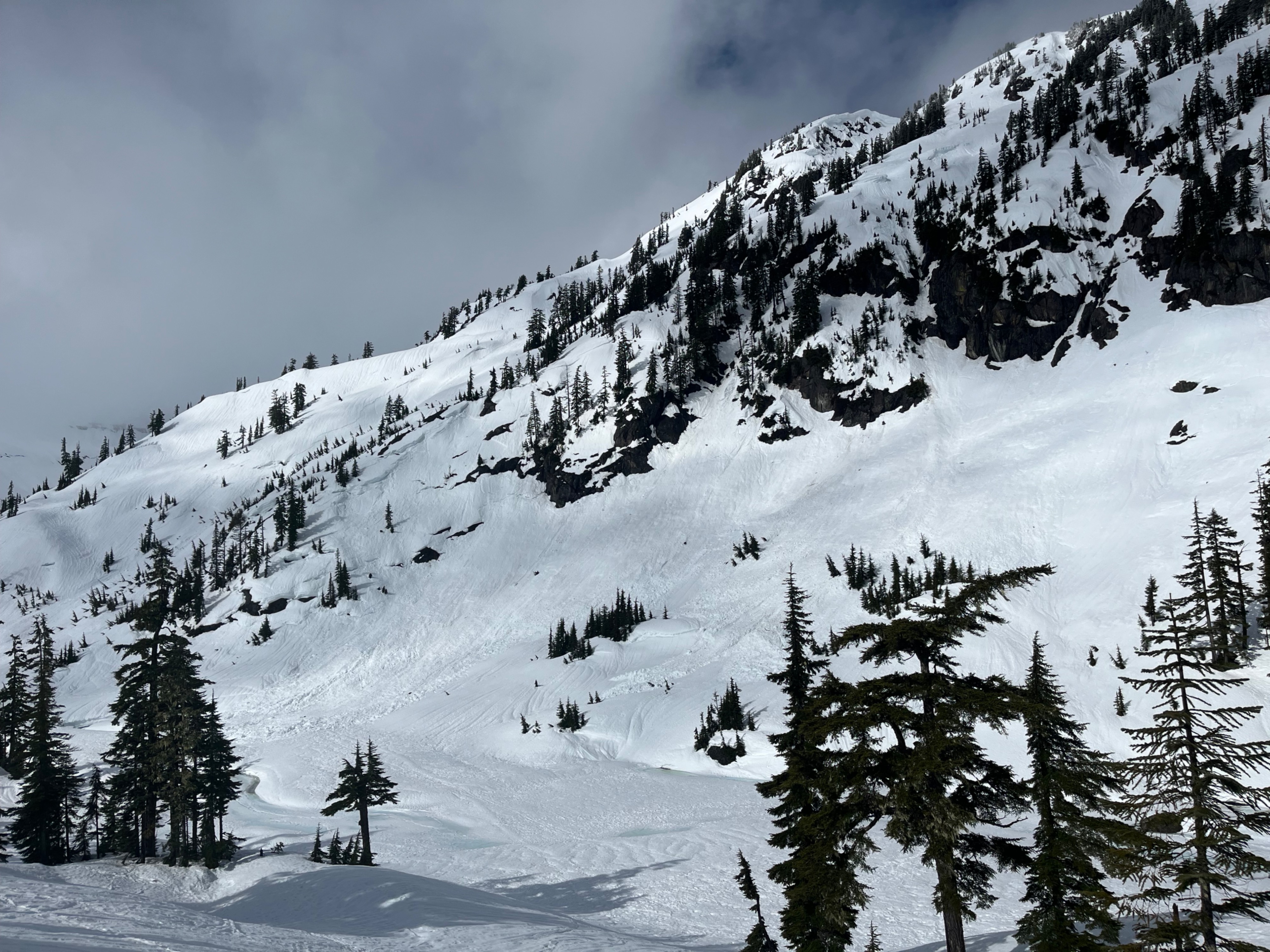
My goal was to investigate the snowpack after the thorough wetting of the last few days, and document the avalanche activity of the last 4 days.
Shady aspects above 5000ft maintained a dry snowpack beneath the top 2ft, whereas sunnier and lower elevation slopes had more wet snow. The wet layers are draining, but there aren't any freezes yet.
I didn't see any new avalanches, and was starting to feel a little more confident with traveling beneath large slopes, but I still avoided those areas for today.
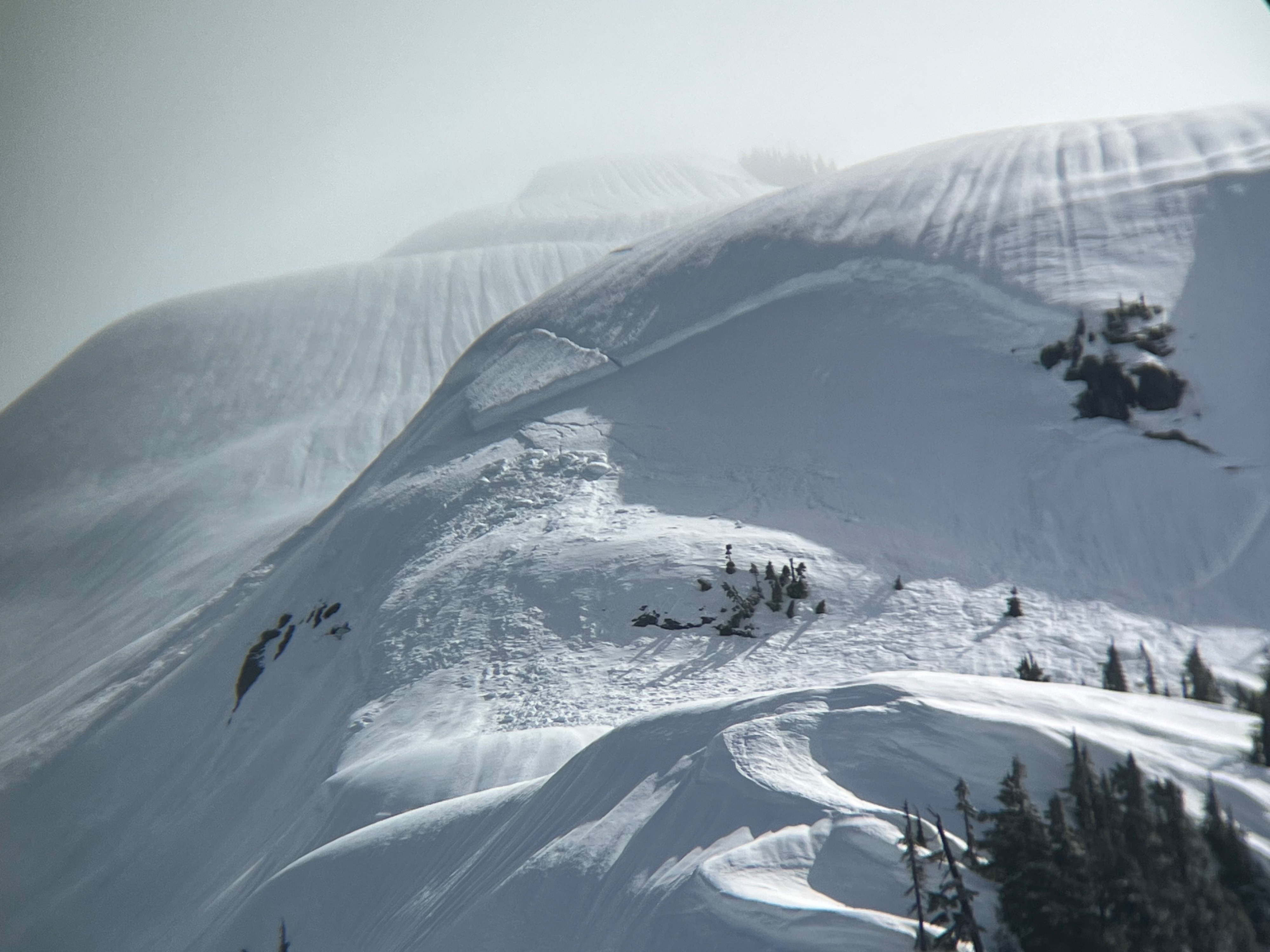
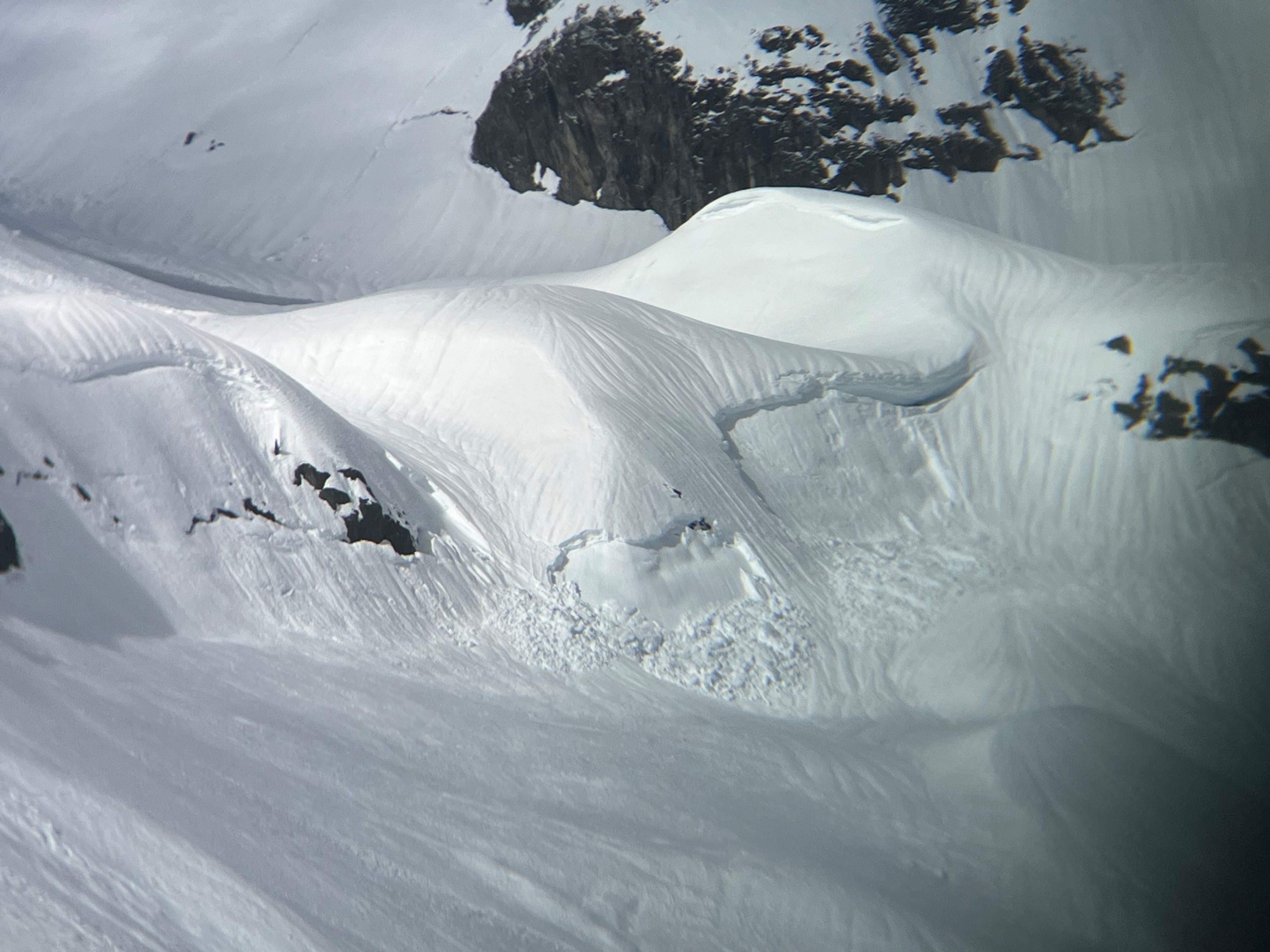
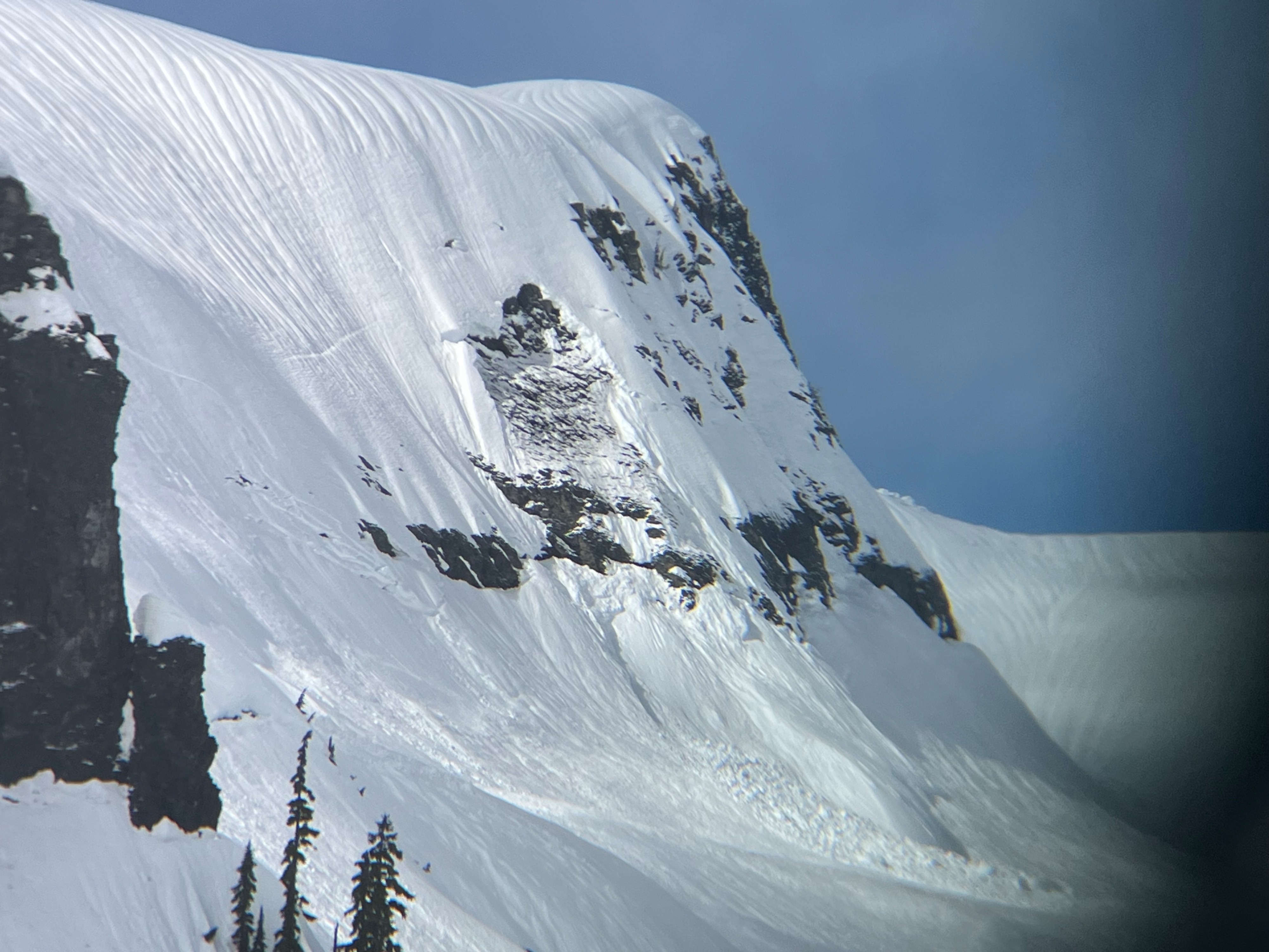
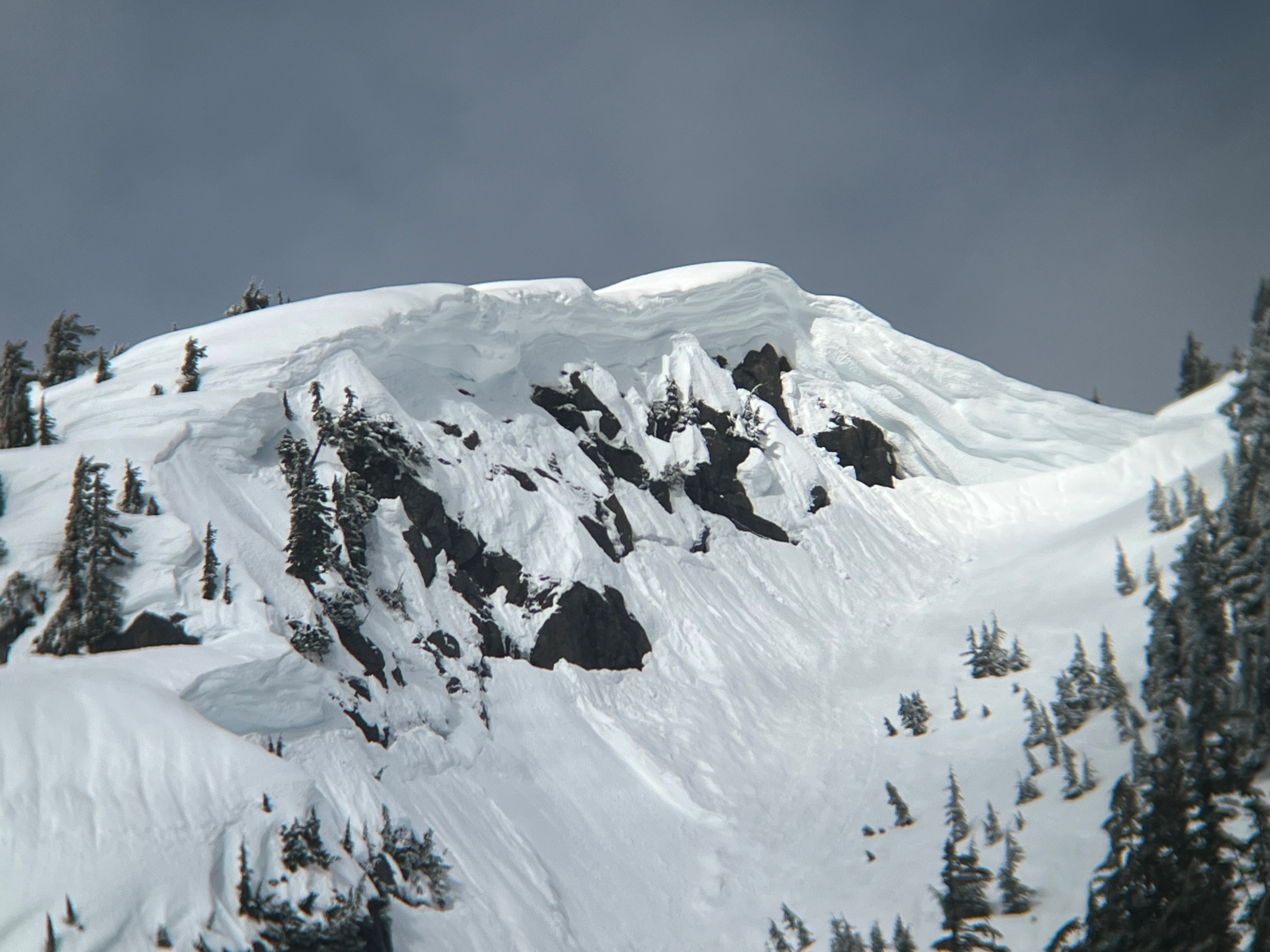
I saw newer looking avalanches, which I suspect were from the previous day, and then others where you could just barely still identify the crown which had likely happened several days prior. A few were small, and many were large. Most were wet slabs, but I also saw a few cornice triggered, wet loose, and glide avalanches.
Creeks were opening up, runnels were everywhere, and I felt that the day's largest hazard was skiing sticky snow downhill.
Many wet slab, glide, and cornice avalanches, most from 24-72 hours prior. No new avalanches observed today.Weather
- Cloud Cover
- broken
- Wind Loading
- none
- Snow Avail For Transport
- none
Fickle spring weather. Dark clouds, then blue patches. A short period of light snow showers, and a short, intense rain shower in the drive up. Some moderate wind gusts.
Snowpack
I dug several pits to to investigate how deep the rain had impacted the snowpack. In a shady aspect on Artist Point, less than the top foot of snow was wet melt forms, and at 55cm deep the snow became dry.
On sunnier aspects and at lower elevations there was a thicker and wetter layer of large grained melt forms at the surface, with more moist snow beneath.
Snow was supportable, with skis sinking 1-3" deep. It was most comparable to arm, soggy cream cheese, which softened just a little more in the afternoon, but remained supportable.