
Quick report
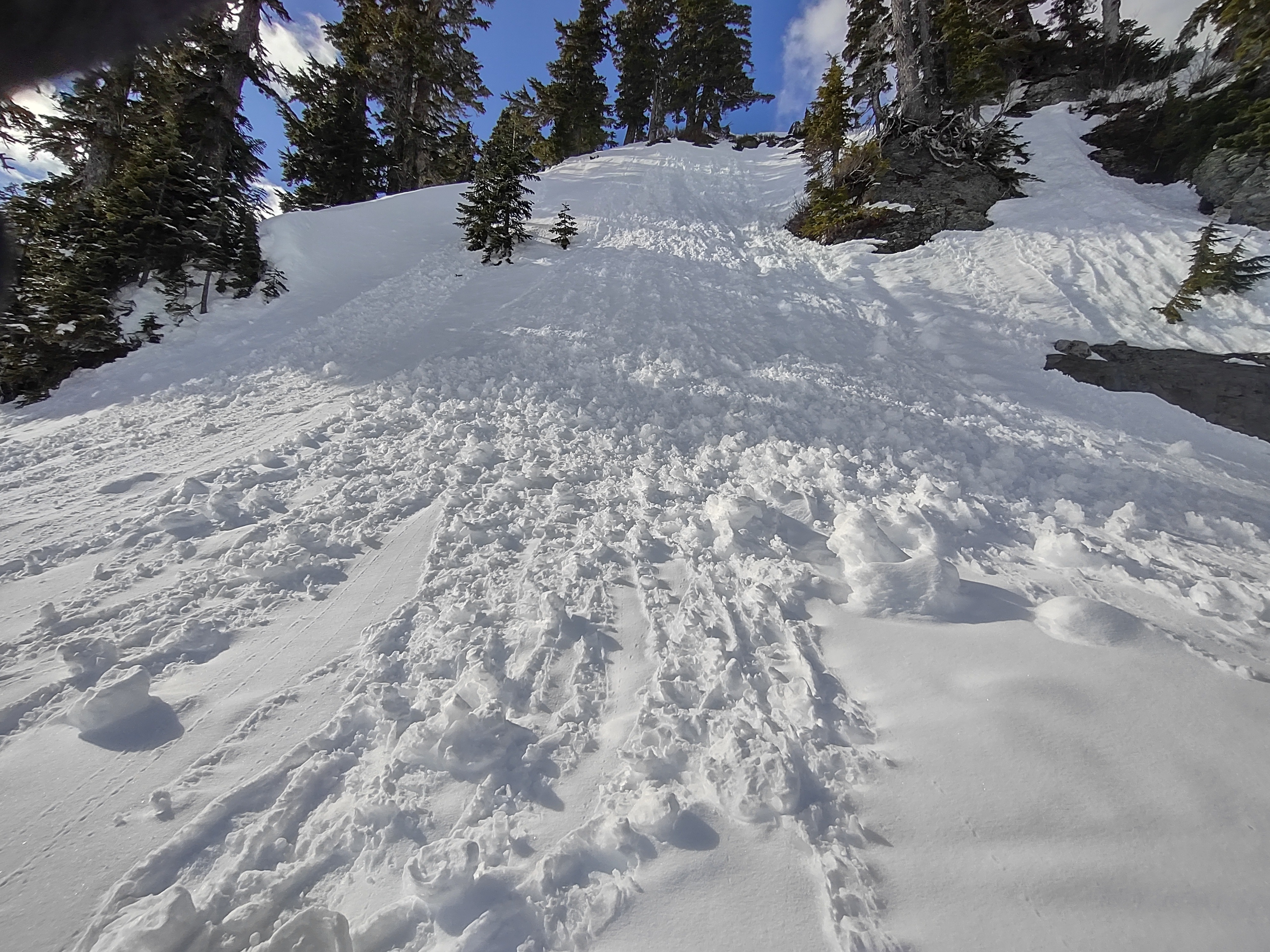
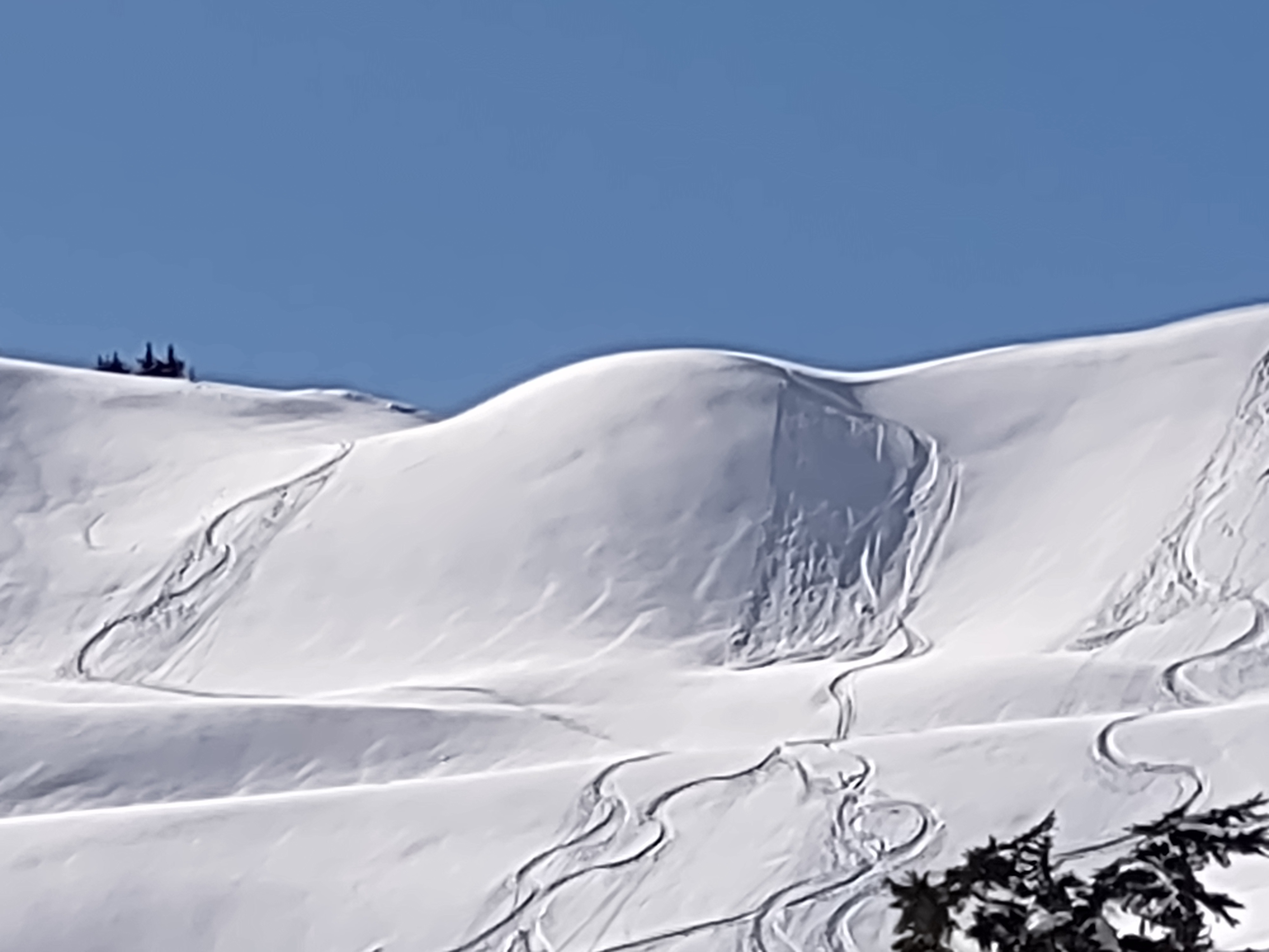
Overall stable snow conditions and low danger in observed terrain. On average there is around 5 inches of snow from Tuesday, which is a nice dusting given that the underlying crust layer is quite firm making surfaces at least usable. Travel was mostly easy, but could be a bit challenging at times on crusty surfaces in the early morning or areas where the new snow was striped back by the wind. The new snow was bonded well with the underlying crust but could sluff as a dry or wet loose in steeper terrain. Even though solars got wet, minimal if any new wet avalanche activity was observed today beyond some rollerballs. Wind drifted snow from Tuesday was mostly unreactive. No real wind slabs found. Snow would produce either dry sluffs in shaded terrain or wet on solars when pushed on the underlying crust.
Weather
- Air Temp
- 40
- Cloud Cover
- scattered
- Wind Loading
- previous
- Recent Snowfall
- 10-15 from Tuesday
- Snow Avail For Transport
- small smounts
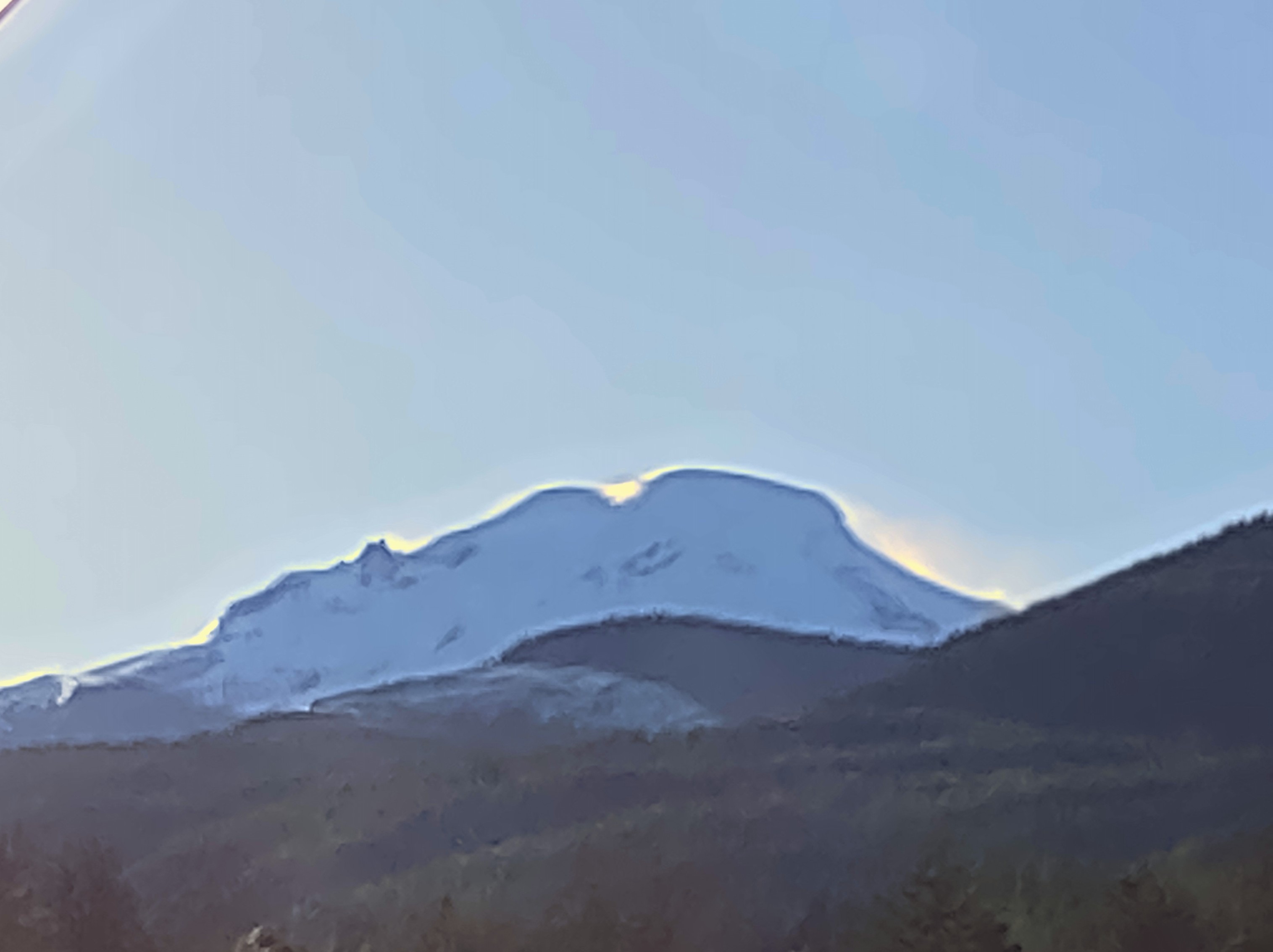
Mostly sunny when starting at 930 then mid level cumulus increased through midday, remained higher than most surrounding terrain. Clouds were a bit thicker north of 542. Light winds at mid elevations. Some visible transport of snow in the higher elevation areas around Shuskan and Mount baker in the morning.
Snowpack
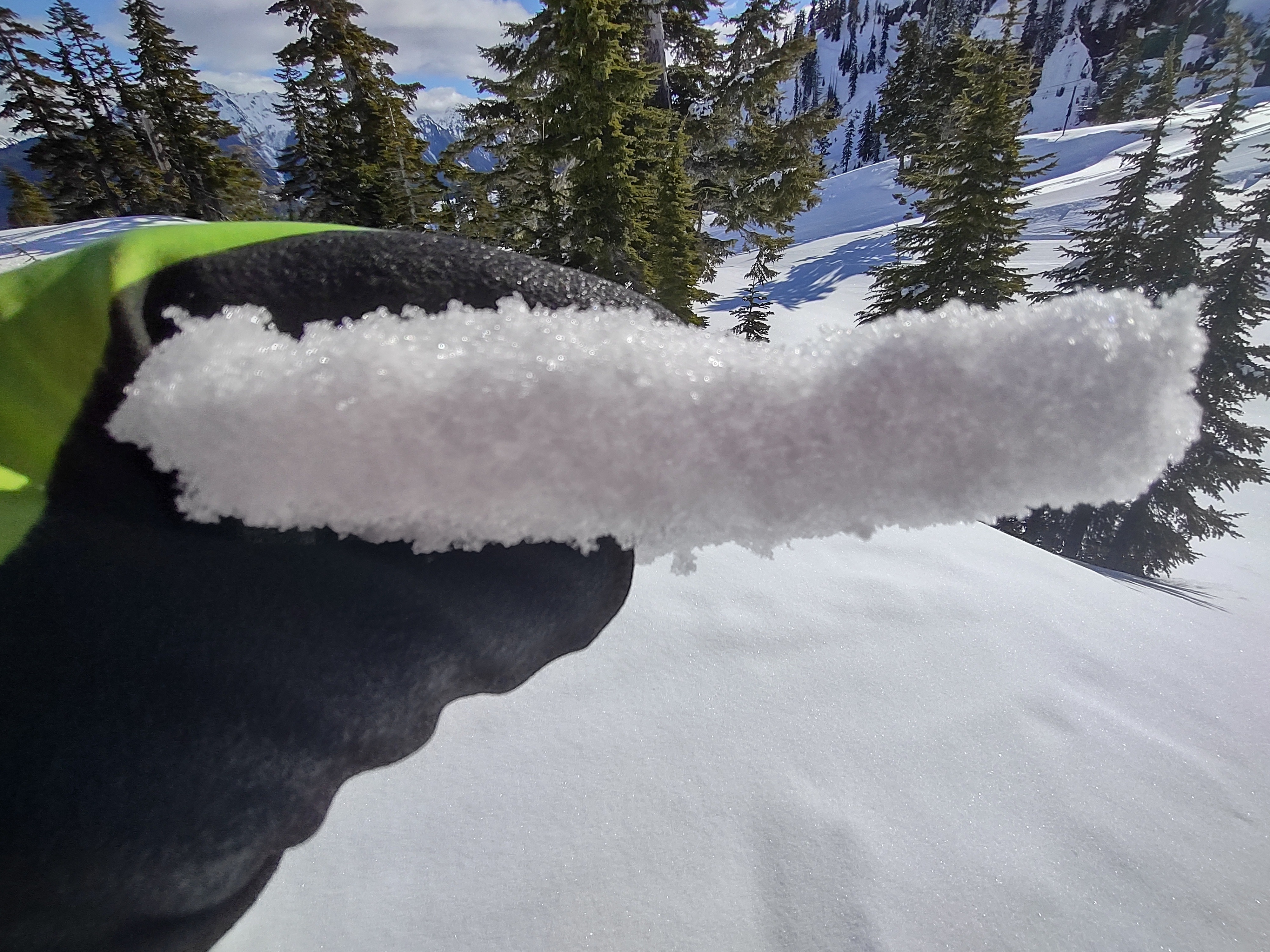
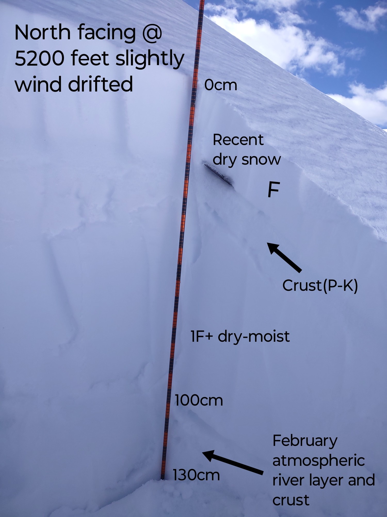
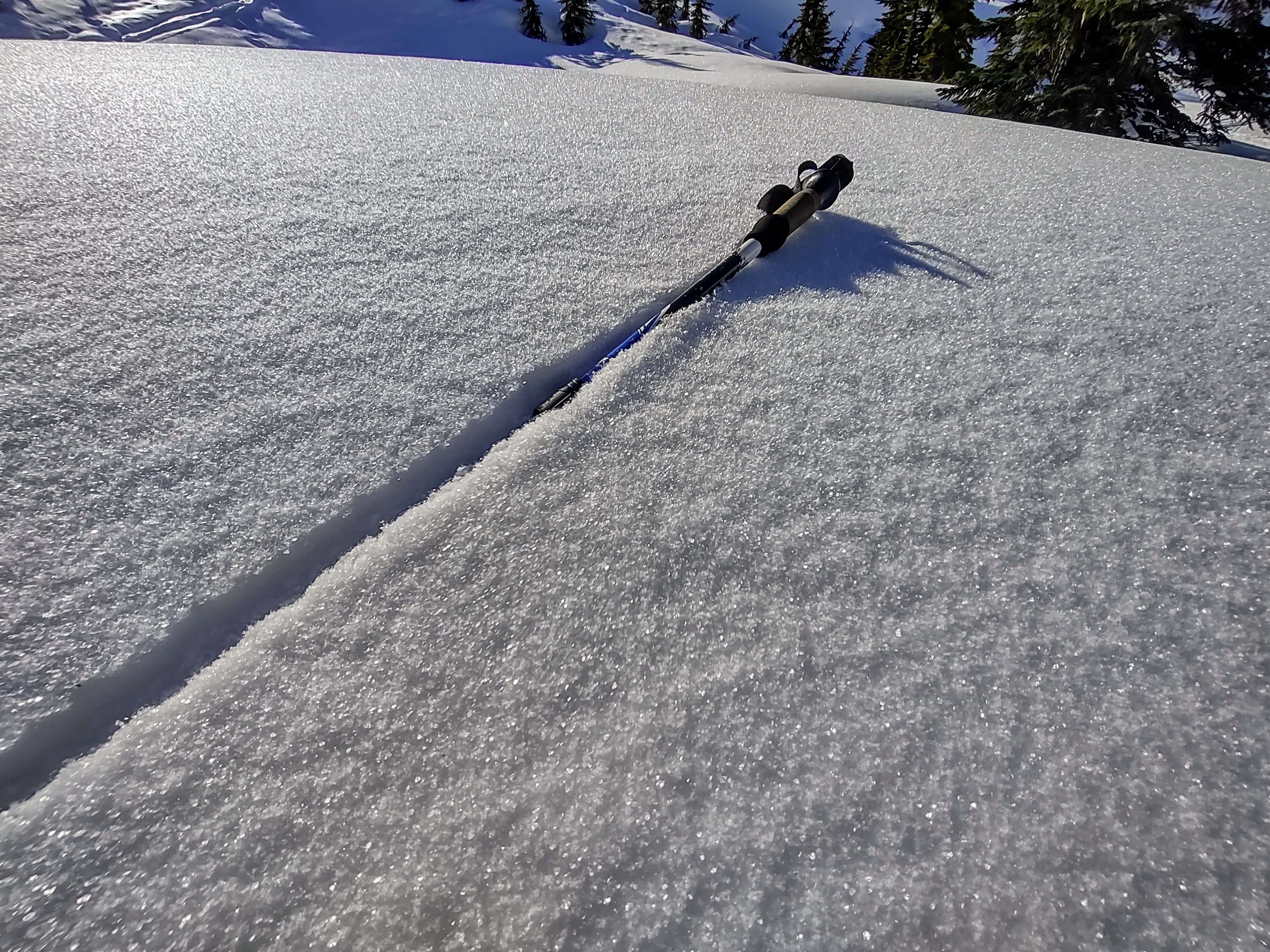
Roughly 5-20 cm of dry snow on northerlies from Tuesday lies over a 10 cm melt freeze crust. Isolated and specific drifts up to 30 cm. The new snow was bonded well to the underlying crust. Faceting snow and stellar hoar were found and surviving in sheltered northerly and shaded terrain. Aspects and slopes that faced sun Wednesday had a crust in the morning, which started breaking down by 1100. Northerlies we're dry as of 1345.
Avalanche
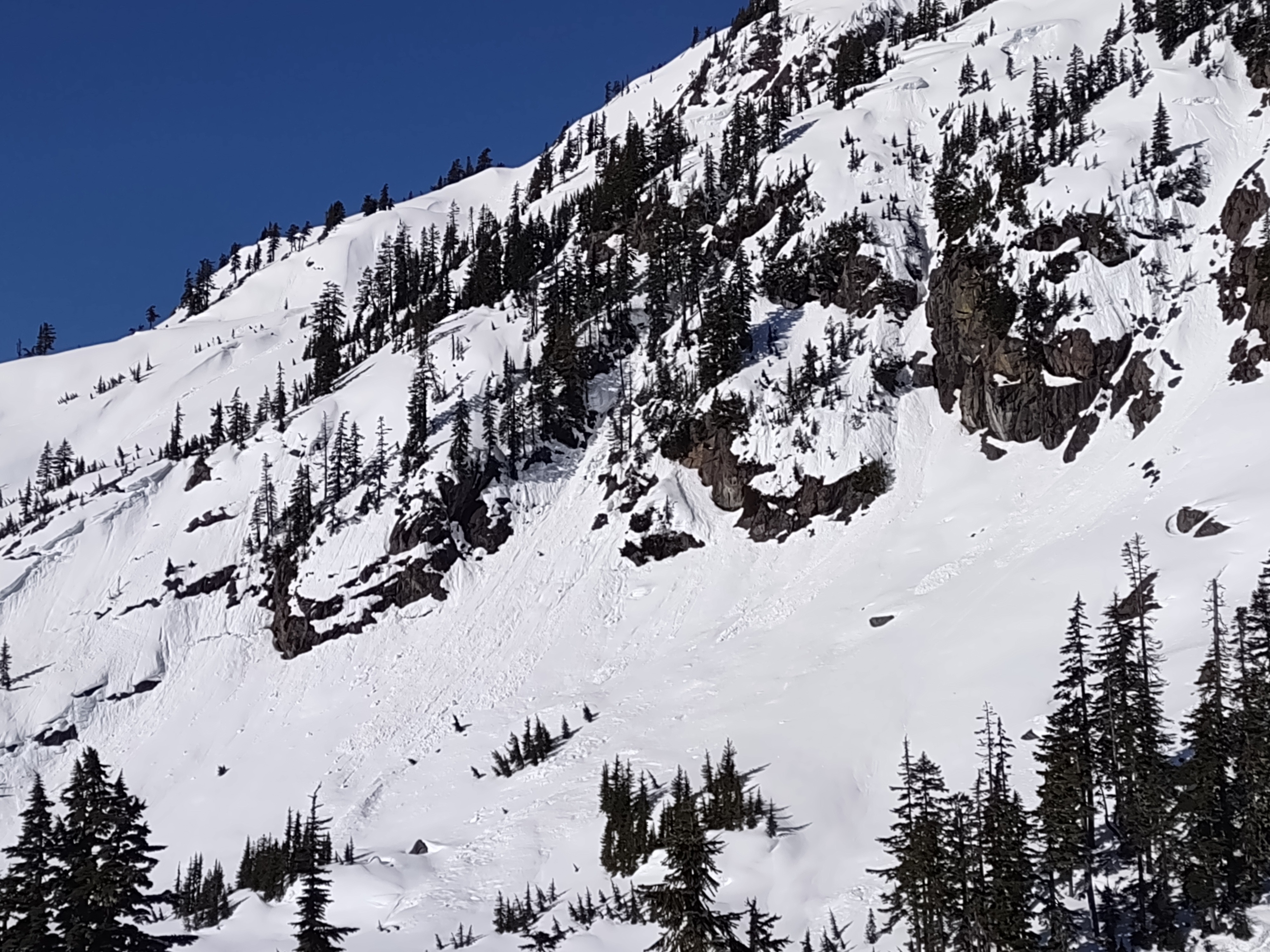
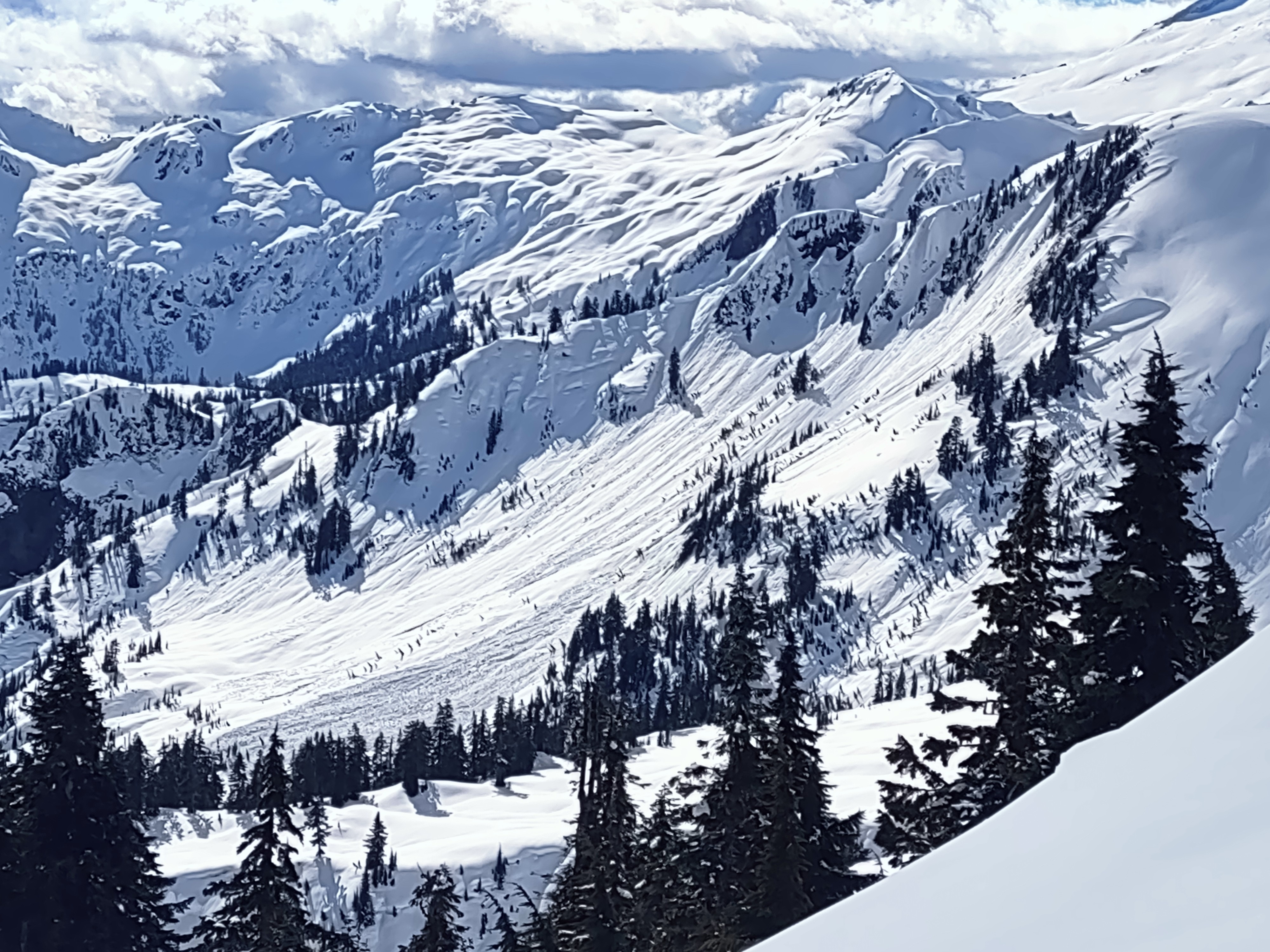
Old news wet and glide avalanches are still visible even under the new snow, including one impressive D3 glide on the southeast side of video peak. Some wet loose, mainly up to D1 in size from Wednesday.