
Quick report
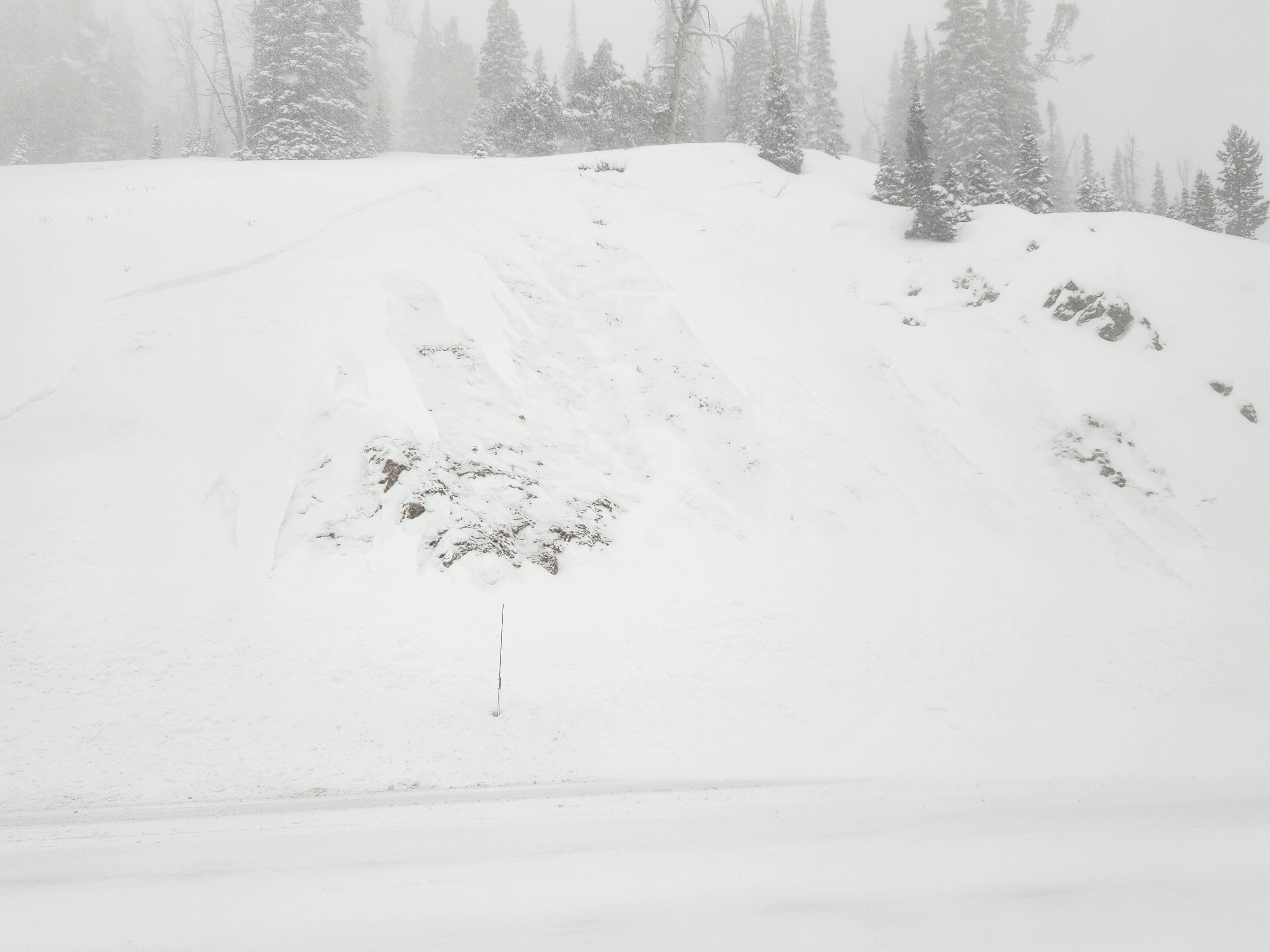
The combination of wind and snowfall was forming fresh slabs in middle elevation terrain by 3 PM. A small, fresh wind slab avalanche near Galena Summit indicates how sensitive (easy to trigger) the new wind slabs were and could be on Wednesday. Continued wind and snowfall will increase both the size and likelihood of avalanches.
Small wind slab at the pass (see below)Weather
- Air Temp
- 17-24
- Cloud Cover
- obscured
- Wind Loading
- moderate
- Rain Elevation
- N/A
- Recent Snowfall
- 13-20+cm (5-8")
- Snow Avail For Transport
- moderate amounts
By 3PM, 5" new snow in Ketchum, 6" at Baker Ck parking lot, 8" at Galena Lodge, and tough to tell in the wind affected areas (from about 8000' and above). Snowfall was low density, estimated 6%. Little to no snow was left in the trees above about 8000'. Winds varied from light to moderate+ at middle elevations while I was out, and calm to light at lower elevations.
Snowpack
No formal observations other than new snow depths listed above.
Avalanche
Small, 10" thick, 50 ft wide D1 wind slab near the top of the pass. This slide was either a natural or triggered by snowplows.