
Quick report
- Collapsing
- isolated
Experienced only isolated small (2-3' radius from skis) collapsing on a sheltered northerly mid-elevation slope.
Weather
- Air Temp
- <32
- Cloud Cover
- few
- Wind Loading
- previous
- Recent Snowfall
- 8-12
- Snow Avail For Transport
- small smounts
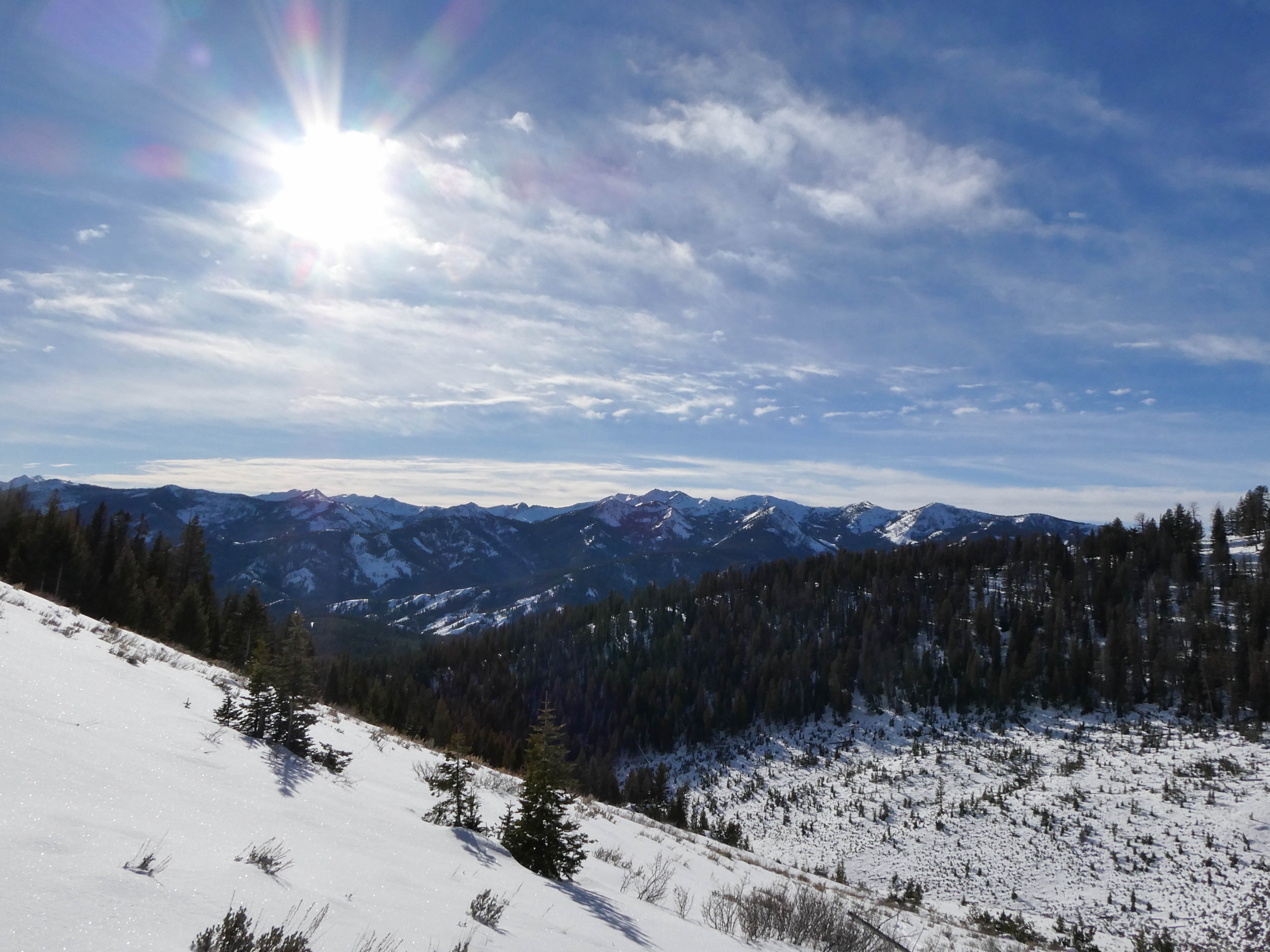
Skies were mostly sunny, with only thin high clouds in the sky when I left the truck in the afternoon. Temperatures were below freezing, with calm winds. While gaining elevation on solar slopes, I almost immediately was down to my base layer, with pant vents open — however, this was short-lived. Ridgeline winds were still mostly calm, with the occasional light variable gust. Clouds cleared throughout the afternoon.
Snowpack
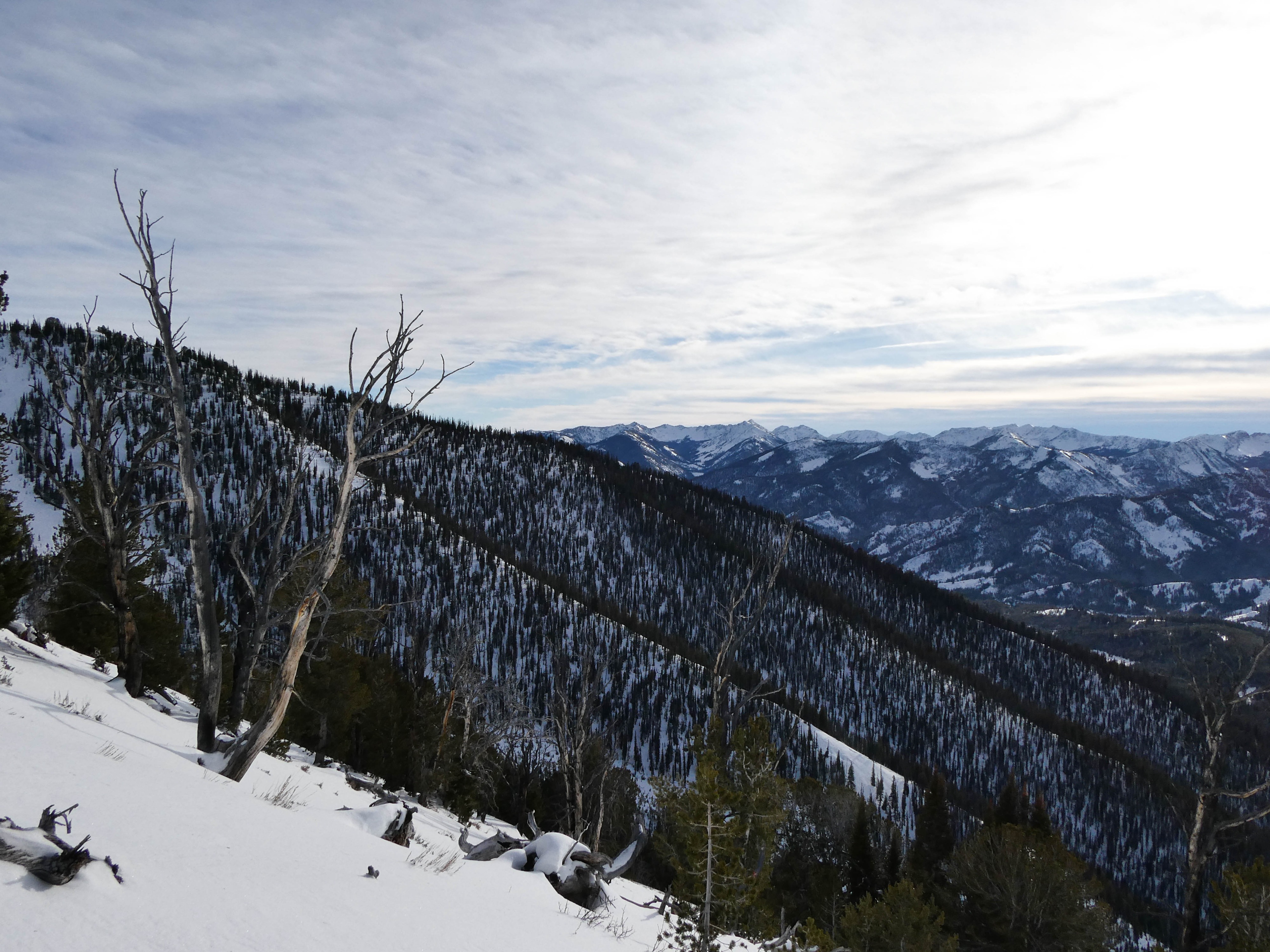
Leaving the car at 7300', 5-6cm of fresh, soft snow laid over old surfaces. As I past 8400' and above onto a broad ridge feature, HN increased to the 8-12cm range. Minor and unworrisome recent wind affect was present, with small (3-4m wide, 10-20cm depth) slabs of wind-affected snow cracking under my skis but not moving nor being well connected in terrain. Digging into the snowpack in a more sheltered area on the ridge at 9300' on a ESE aspect, I was able to see that our most recent HS sat on top of a series of crusts and facet stacks, with the 11/30 facets just barely present at the base of the snowpack. Stability tests produced a ECTN 27 on the 11/30 layer, with an ECTN 23 midway through the crust/facet stack. This week snow is typically the more worriesome thing to look out for on solar slopes below upper elevations in this zone.