
Quick report
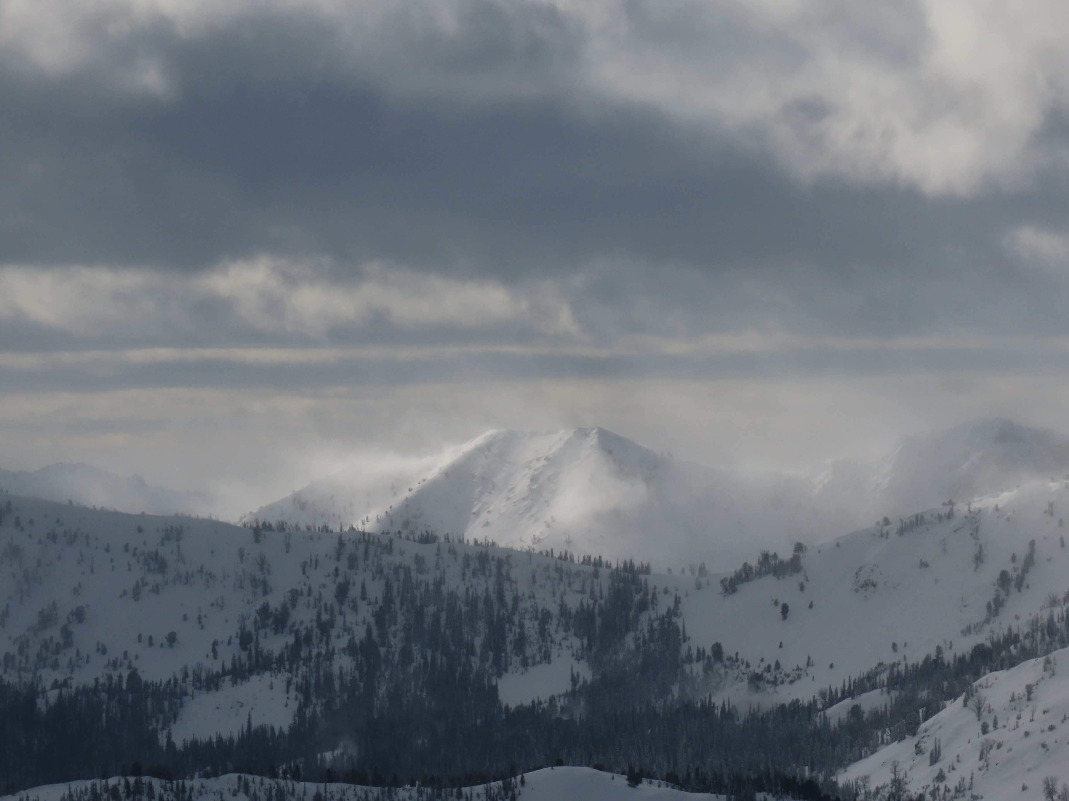
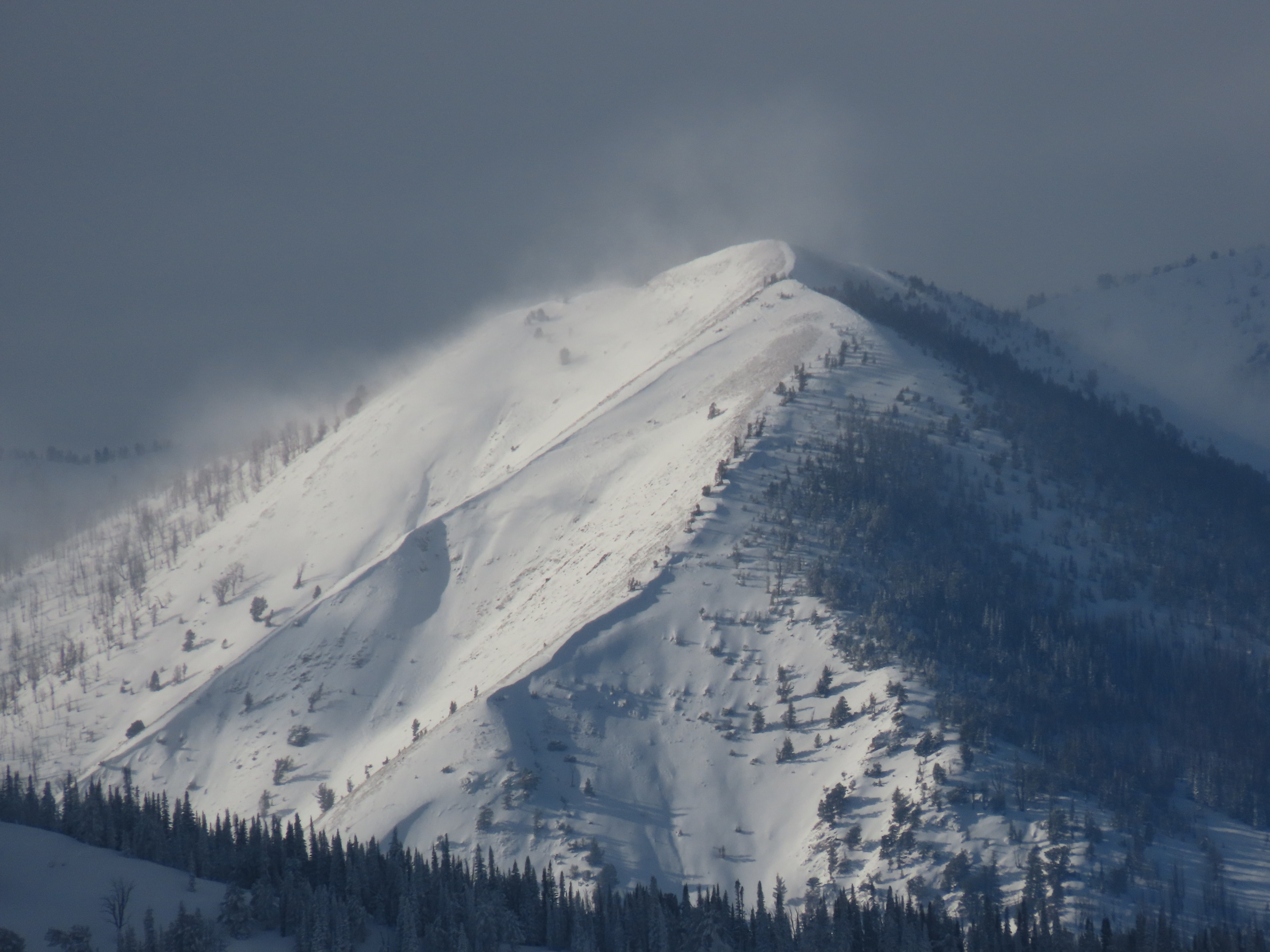
Today was a transformation day in the upper snowpack, we lost a lot of good turns out there today ladies and gents.. Winds were blowing hard and moving large amounts of snow. A quick look at weather stations shows that this afternoon was the windiest it has been since before the big storm this past weekend (started on 12/13). Many new wind slabs were generated, I'd expect these may have been touchy thanks to the delicate stacks of large stellars they were deposited on. I also would not be surprised if the wind did enough transportation/slab creation/slab stiffening to tie together some larger starting zones and increase the likelihood of triggering large persistent slabs failing on the 12/13 weak layer. Or even to cause some large natural slides. In many places, the slab of snow sitting on top of the 12/13 weak layer was very soft and unconsolidated prior to this snowpack resculpting event. I don't think it would take a lot of additional stiffness to make the snowpack act up, particularly at middle elevations where weak layers are better preserved. The sun and the temperatures played a big role in snowpack evolution today as well. The upper snowpack became warmer and received much more solar radiation than in the days since the storm last weekend. A significant amount of slab consolidation occurred. I think the wind and intermittent cloud cover helped to moderate snow temperatures a bit. There is a lot of snow from recent storms sitting on stout melt freeze crusts on solar aspects. I would expect that a day with fewer clouds, lighter winds, and more direct sun would bring wet snow problems to the table. I'd anticipate seeing slides running relatively fast and far on this crust, and potentially flanking out a bit on weak layers associated with this crust. I may have seen a fresh-ish debris pile on the Lake Creek headwall and one up in Murdoch, but I was driving and did not stop. Confidence is low on these slides. I saw one D1 wind slab in the Boulders at ~9,500' on W/NW aspect that appeared fresh. I spent a fair amount of time looking for slides through my lens and did not see evidence of large persistent slab avalanches in the Boulders or the Smokys; the amount of snow and low clouds in the air may have prevented me from seeing slides that were not particularly fresh. I did not experience cracking or collapsing in my travels.
Weather
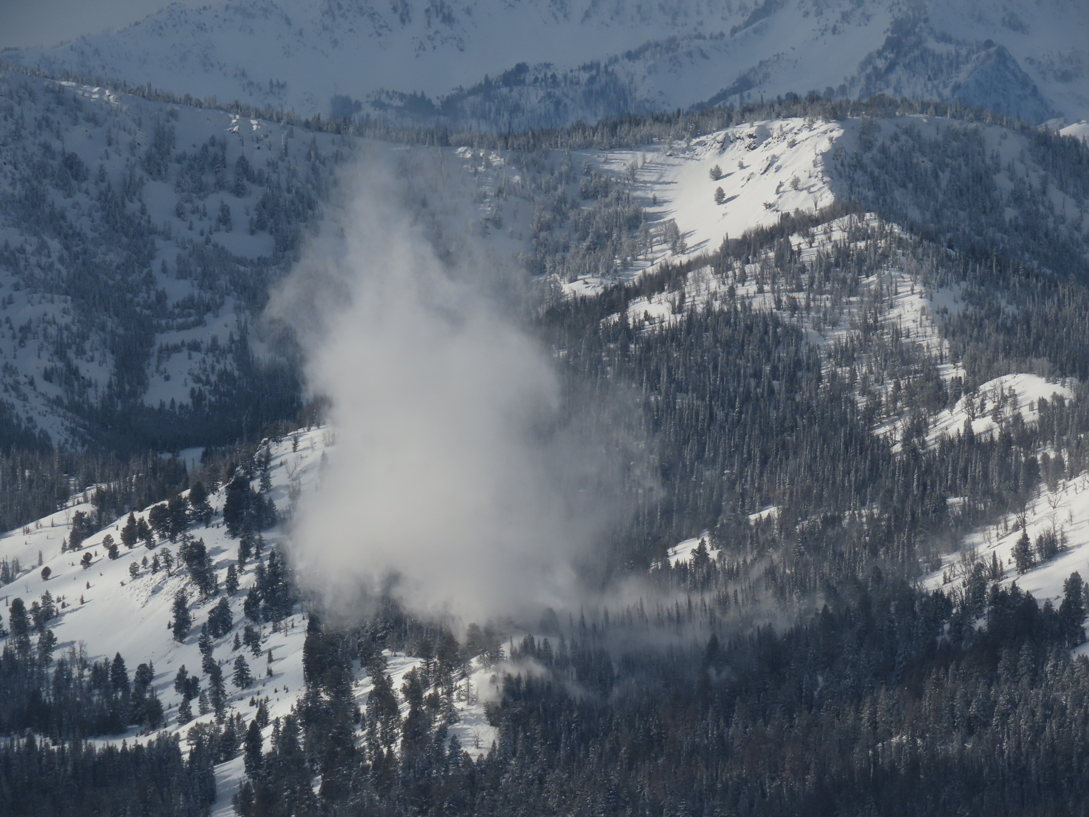
Skies were mostly cloudy to overcast north of Galena Pass throughout the morning. Clouds began to pull back by mid-morning in the Boulders and Smokys, initially with shorter periods of sunny and longer periods of cloudiness. I left the field by 1420 and the cloud cover was increasing again at that point. Winds were blowing moderate to strong out of the W/NW in Boulders and Smokys (the places I could directly observe). There were certainly some extreme gusts. At one point I saw a plume of updrafted snow blown out of the trees in the Smokys that was an estimated 1,000 feet tall; wild.