
Quick report
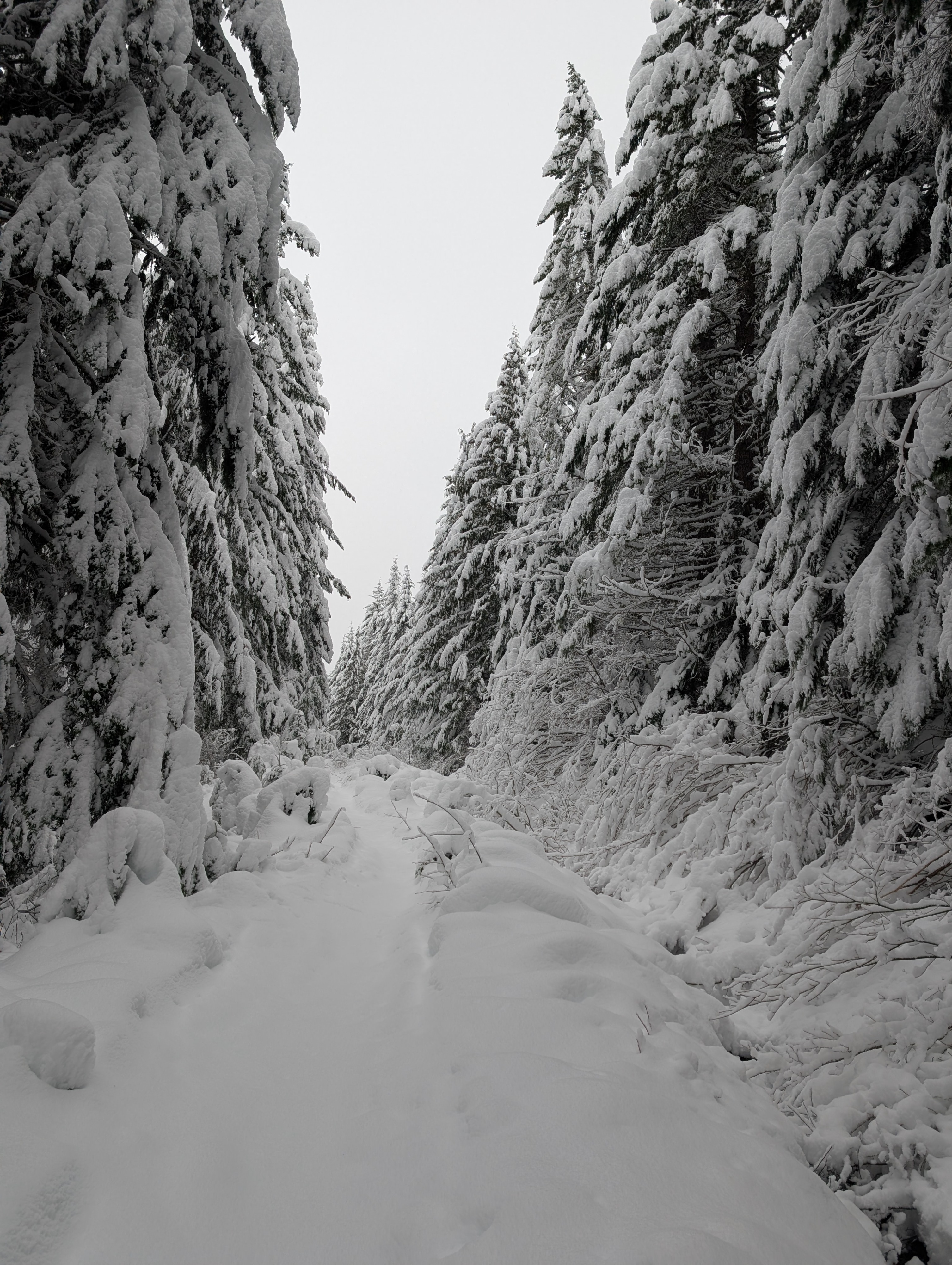
We took a walk up the road from Gold Creek to Kendall Lakes to get a feel for conditions at mid-elevations. I would say coverage down low is more than sufficient for uphill travel in open areas. Downhill travel, whether on skis or a snowmobile, may still be a challenge. There are many natural hazards, particularly rocks, bushes, and logs protruding from the snowpack. This problem is even more pronounced in the woods where the snowpack is less robust. We poked our heads into the old growth near the lakes and that seemed to have more consistent coverage with less undergrowth hazard, although plenty still existed.
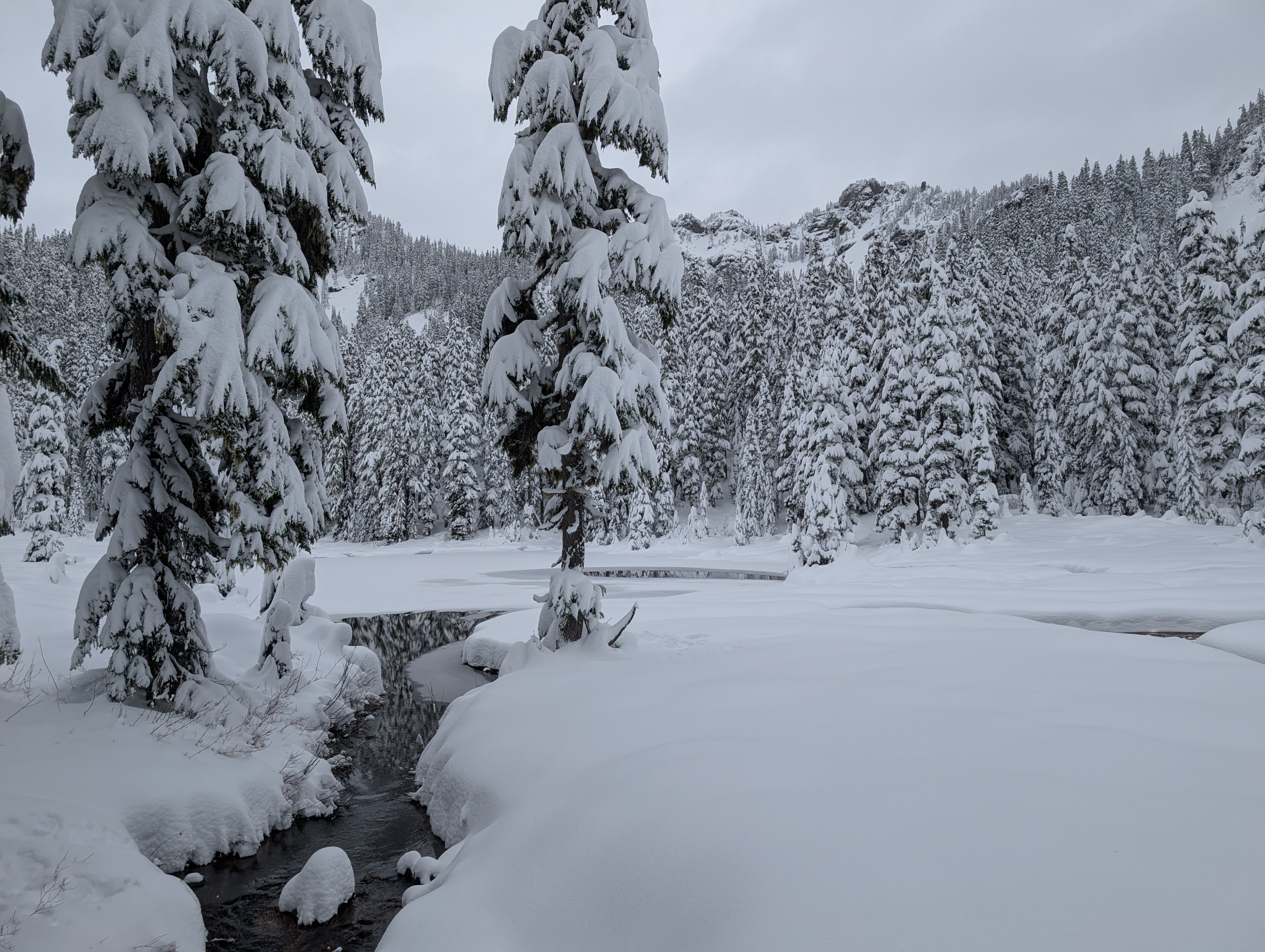
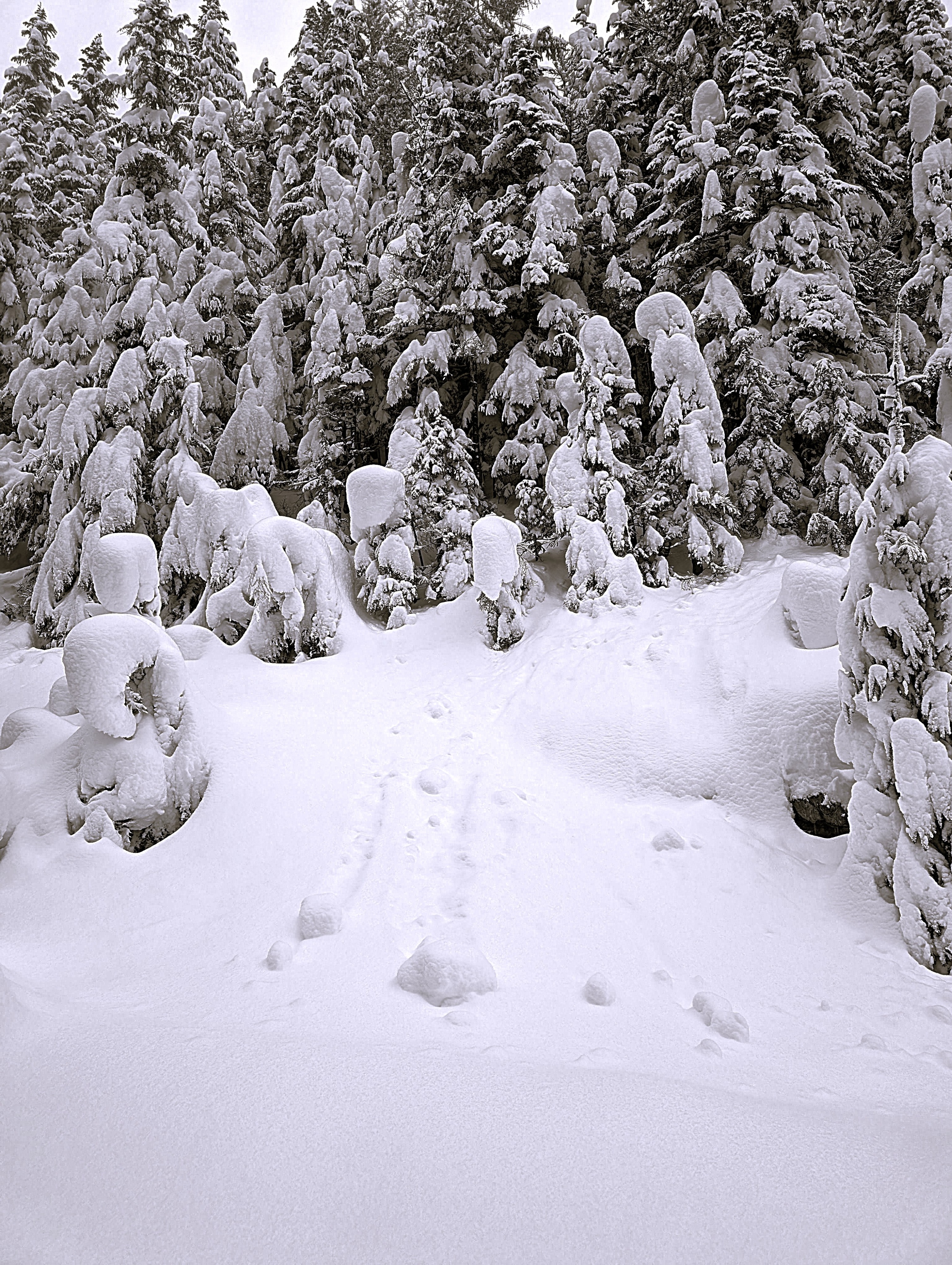
The lakes are still open water, and so are the creeks, making travel a bit difficult. The same goes for Christmas tree land, where the tree well hazard is real without sufficient settlement to push back when you get near them. Although not deep, you can still plunge right in.
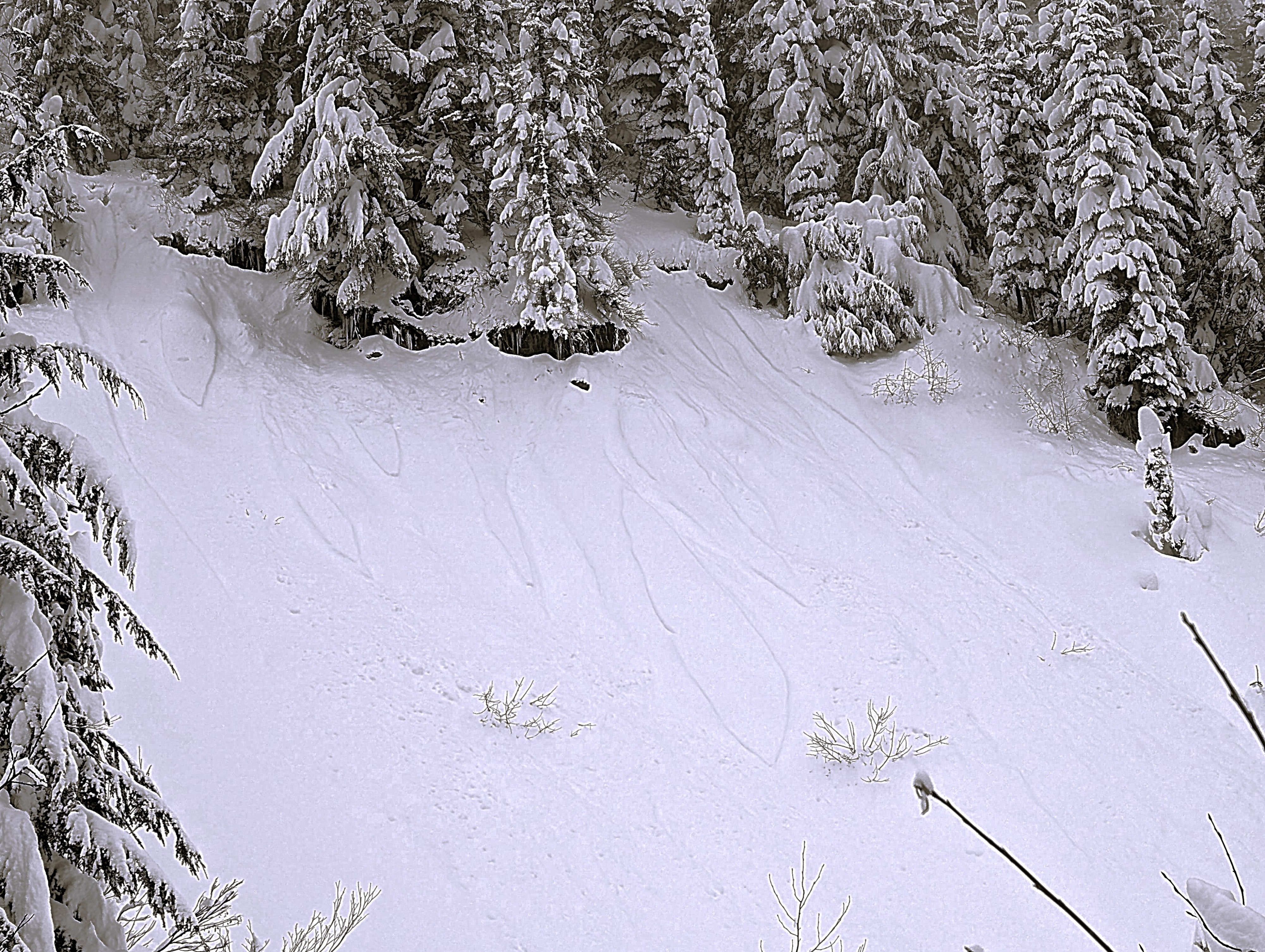
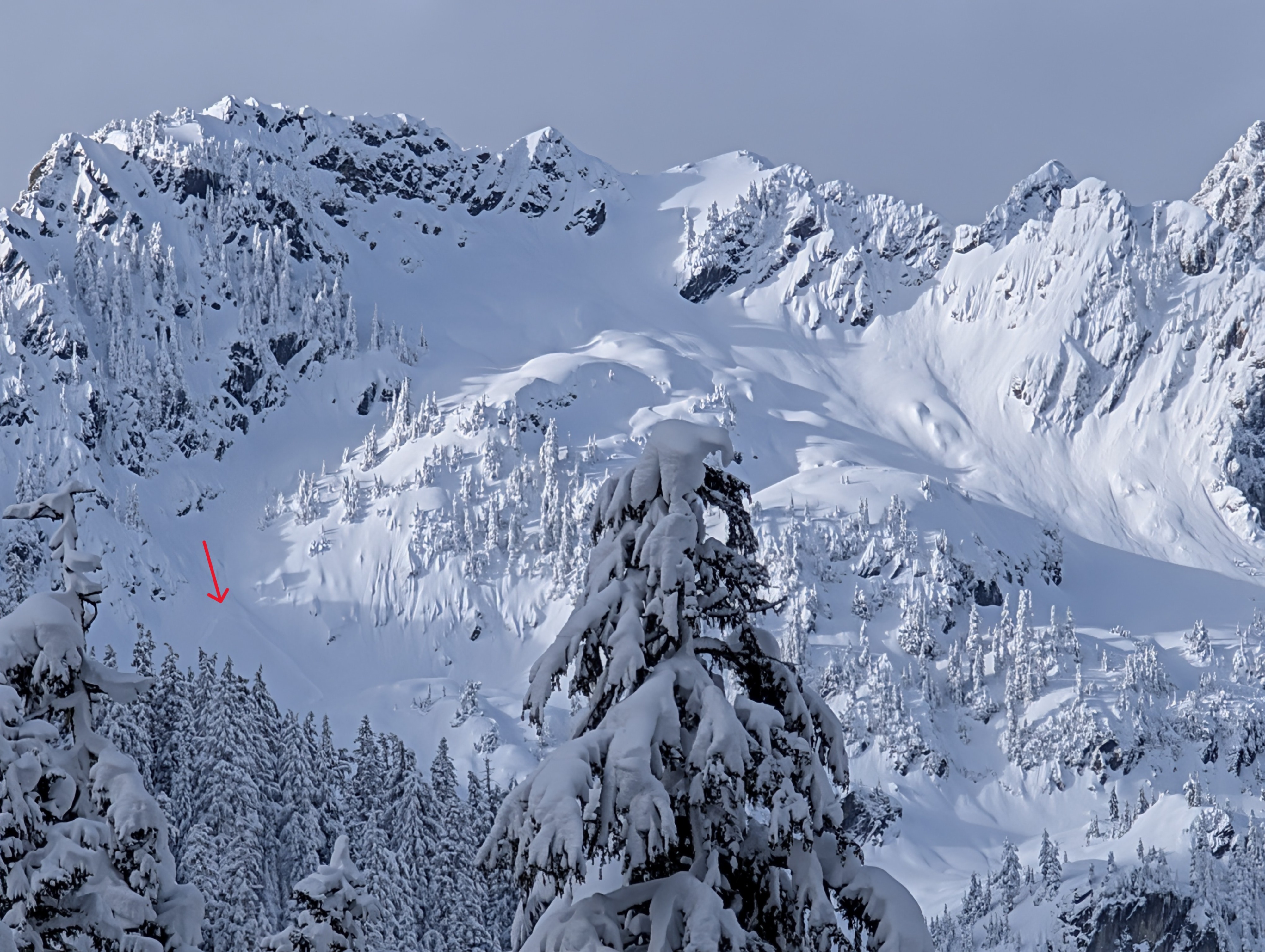
We noticed a few rollerballs and small loose avalanches originating from trees and rocks, but otherwise very minimal avalanche activity. The storm snow was fairly light and fluffy, which made for easy trailbreaking and a few fun turns where they were available. On our descent, we noted that it was much warmer than when we started out and the snow was heavier down low. We were on skis from car to car.
Weather
- Recent Snowfall
- 12-20
Mostly cloudy with a few breaks in the clouds midday. Rising temperatures and very little wind observered.
Snowpack
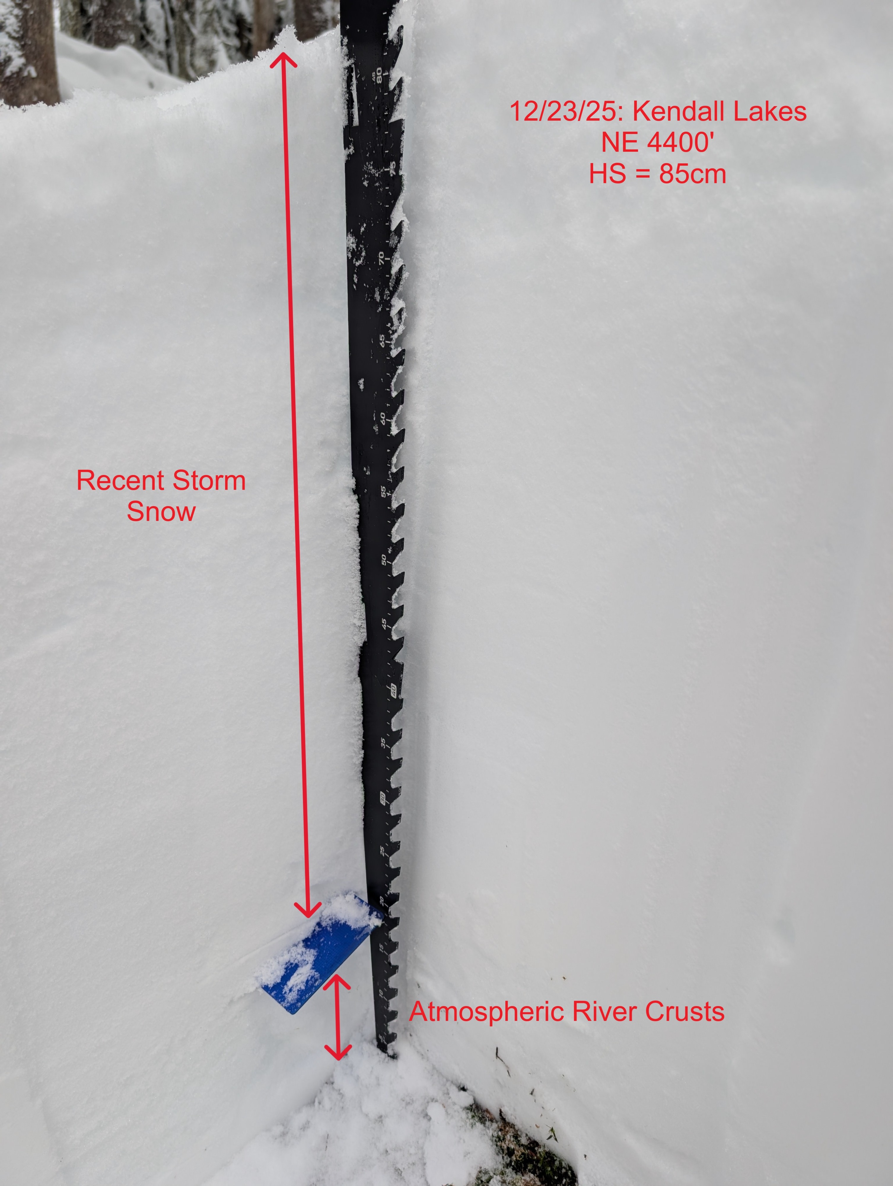
The snowpack is continuing to build at Snoqualmie Pass. Near the car, there was roughly 50cm of snow, and at Lower Kendall Lake, we were up to around 85cm. The snowpack essentially has 2 layers - the recent storm snow and the atmospheric river block at the bottom of the snowpack. The storm snow was generally right-side up and lacked layers of concern. I had no test results in my pit today.