
Quick report
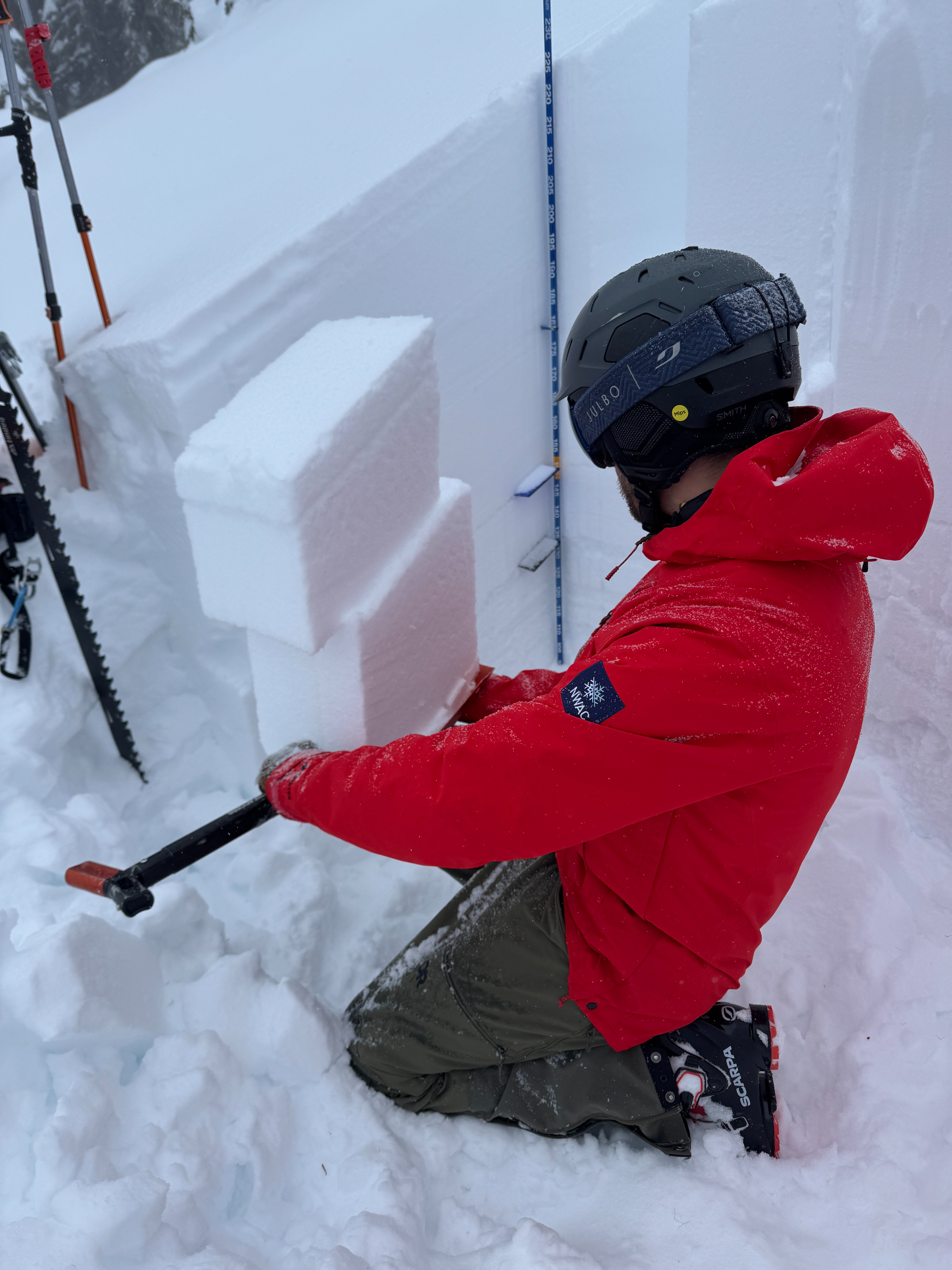
We were out in the White Pass backcountry today hunting the persistent weak layers from the forecast. They certainly were not hard to find. The dully gray line of buried surface hoar and sugary facets around the last major cursts wer found in 4 snow profiles on various aspects and elevations. These weren't just down in the valley bottoms, some were higher in the terrain.
Previous observations from this area documented the layers forming and being buried intact. So, we wanted to see how they're acting after the nearly 2 feet of recent snow since 2/21. The short answer is 'badly.' One column failed while we were cutting it, snowpack tests failed suddenly, and cracks propagated across larger blocks.
What does all this boil down to? The snowpack is weak and tricky, but it's too deep for it to "feel" unstable. These weak grains aren't hiding, and the snowpack test results aren't difficult to interpret, if these layers fail, they could easily produce an avalanche nearly 3ft deep. That had us stcking to lower angle and treed terrain to move around the mountains.
Minimal cracking in heavily wind affected terrain.Weather
- Cloud Cover
- broken
- Wind Loading
- intense
- Snow Avail For Transport
- moderate amounts
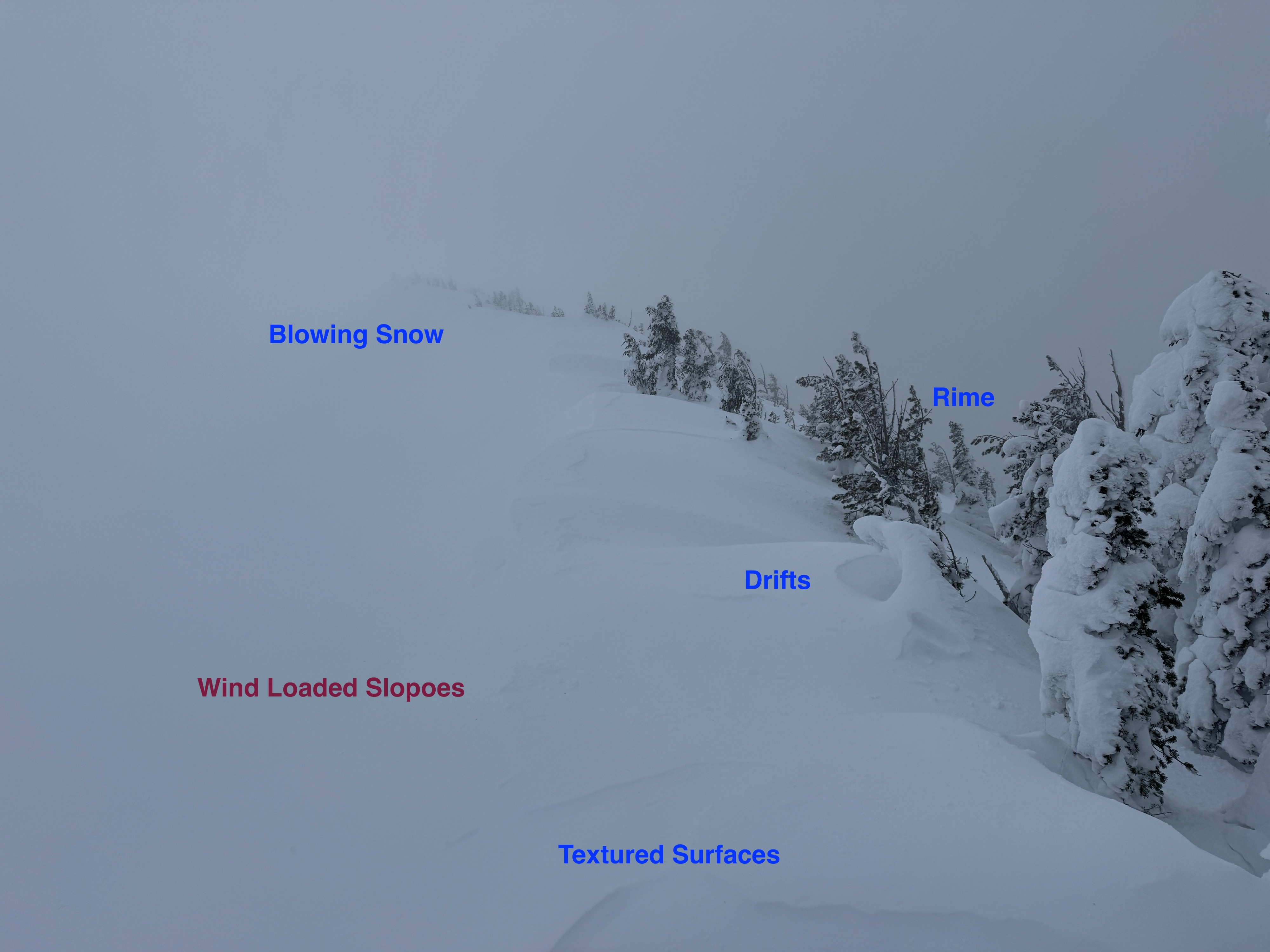
It was a windy day up at White Pass: Moderate to strong W winds swirled in the terrain, blowing snow in a variety of directions. Generally skies stayed cloudy, but there were a few moments of blue and filtered sunshine.
Snowpack
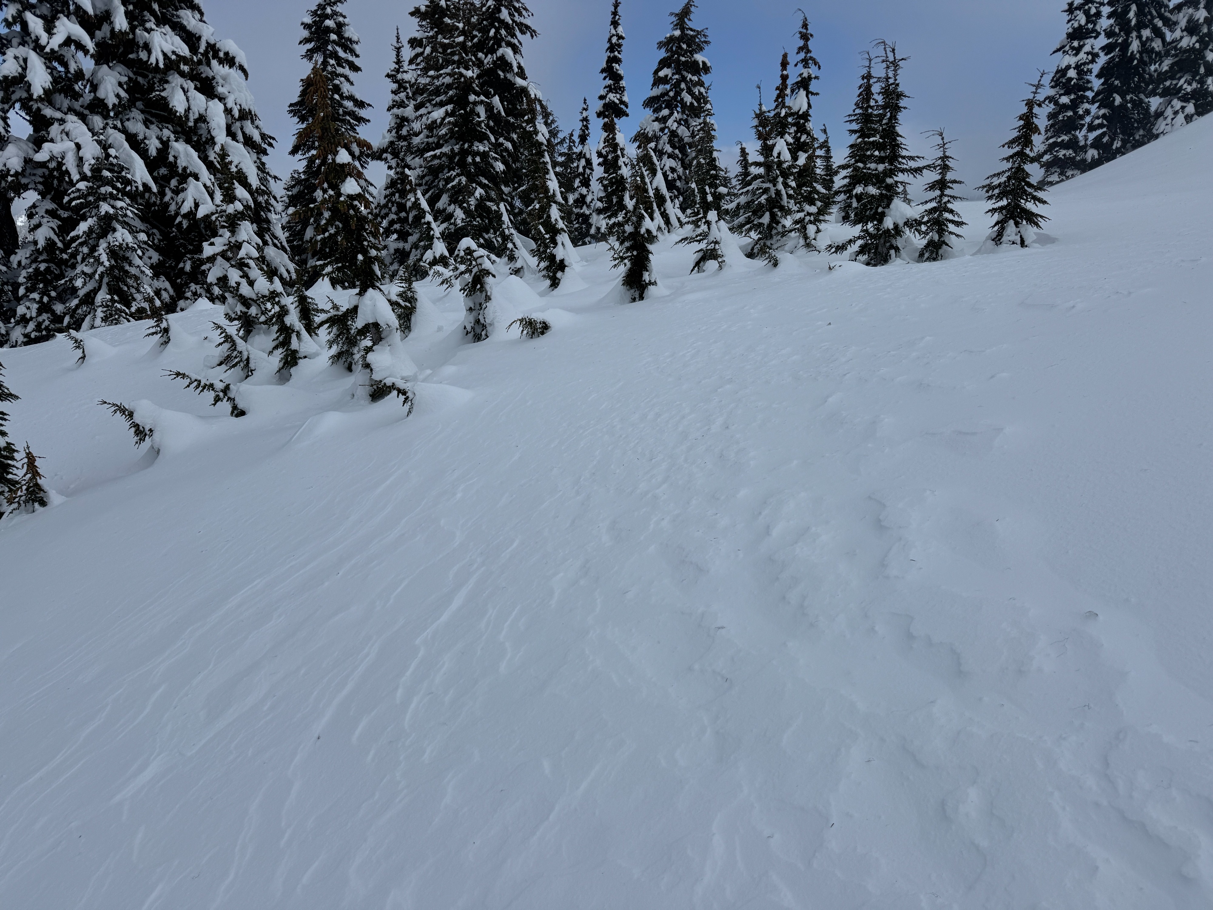
Wind: The winds were certainly front and center today. Moderate to strong and very gusty winds blew snow all over the place. Often plastering us with snow as we traverse the ridgeline. Even down in the trees, the winds were moving snow around. In some cases, firm, hollow wind slabs were found. Despite all the blowing snow and signs of wind transport, wind loaded slopes didn't seem to want to move. Small test slopes barely cracked, and nothing moved.
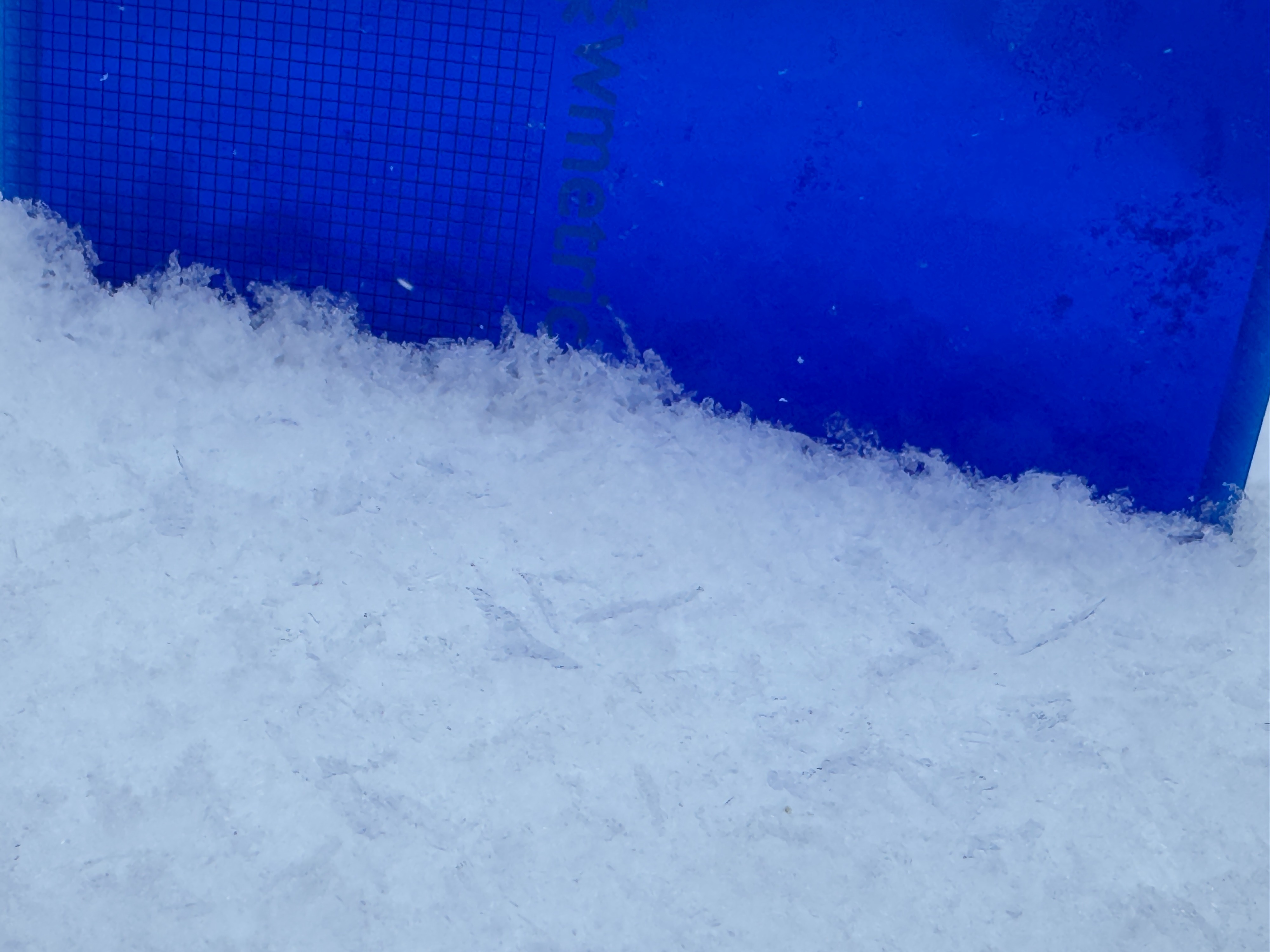
Recent Snow: White Pass received about 2 feet of snow starting on Friday, 2/21. This has settled into 18-20 inches (45-50cm) of storm snow. Occasionally, a very thin, breakable crust was noticed on the surface. While tilt tests still highlighted a few inter-storm layers, they never failed in other snowpack or slope tests.
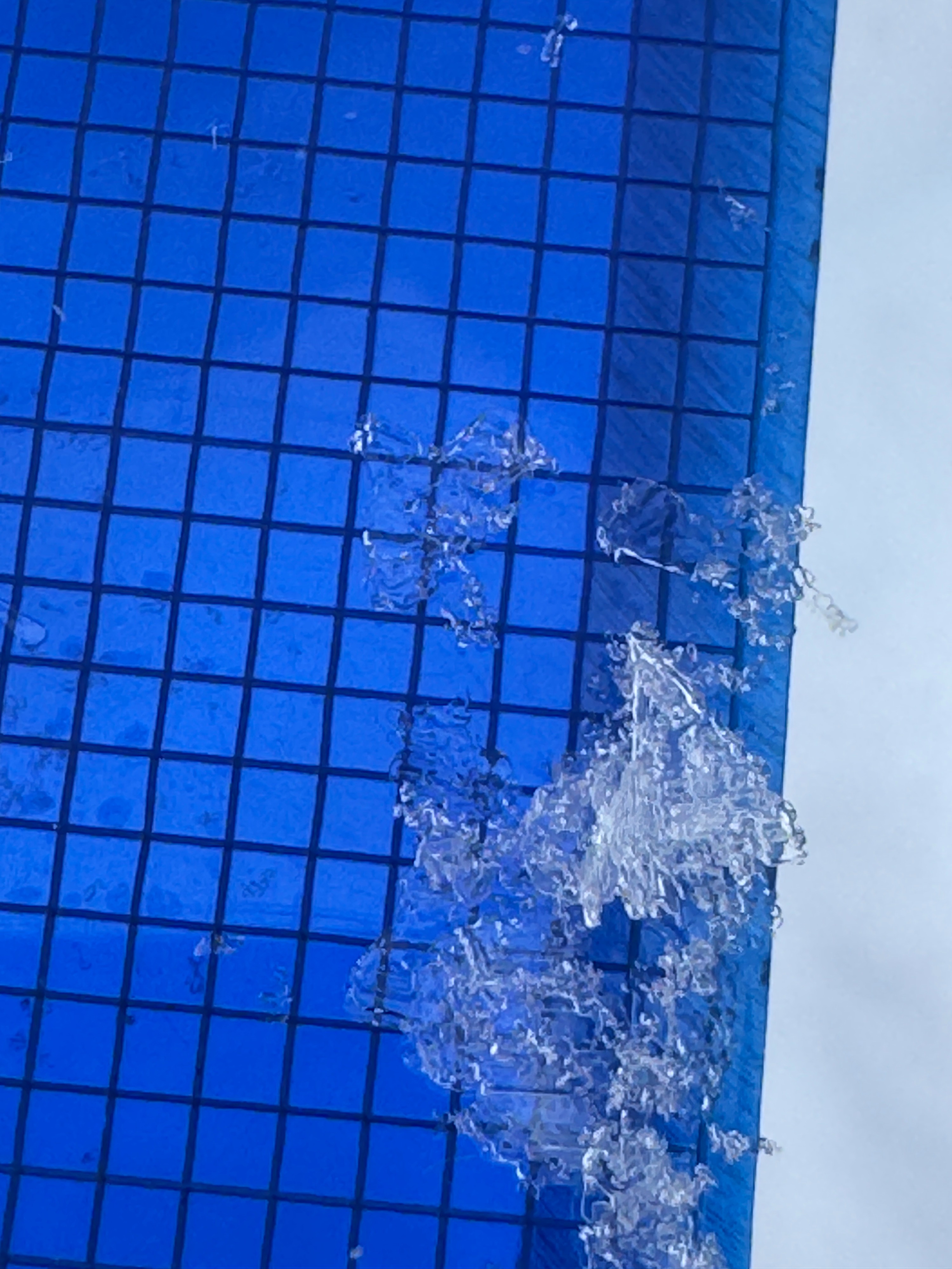
Persistent Grains: We dug 4 profiles, trying to target terrain that represented nearby avalanche start zones but kept us safe. These profiles were all on shaded aspects, but varied in direction, slope angle, and elevation. They all looked nearly identical. Almost 3 feet below the surface (80-90cm), a dull gray line of buried surface hoar was obvious on a clean snow wall. Another 4 inches (10cm) deeper, a weak crust with sugary facets above and below was easy to see. The only difference from location to location was that in some spots, the 2/13 buried surface hoar was weaker and the first layer to fail, in others, the 2/7 facets seemed to be the more problematic layer.
After my recent field day at Crystal, these snowpacks look remarkably similar. The same layers, same look, and nearly the same depths.
Avalanche
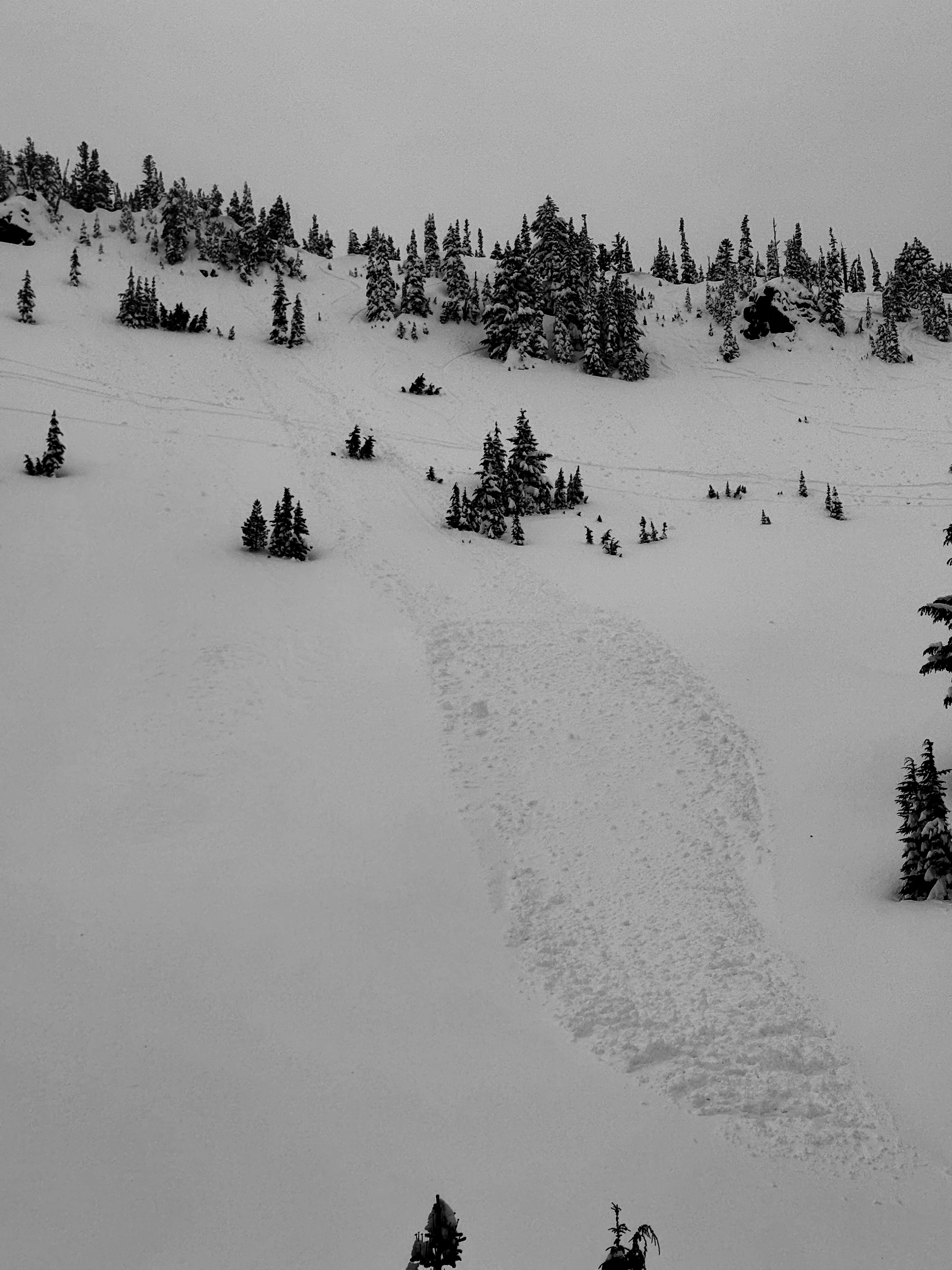
We found a larger avalanche below the Gunsight Chutes. It seems this was a loose avalanche from the last day or two, but visibility was poor. We also noted two loose avalanches on an NW facing aspect of 4th Peak (Hogback Mt.). These slide likely occurred on Tuesday during the warmer temperatures.