
Quick report
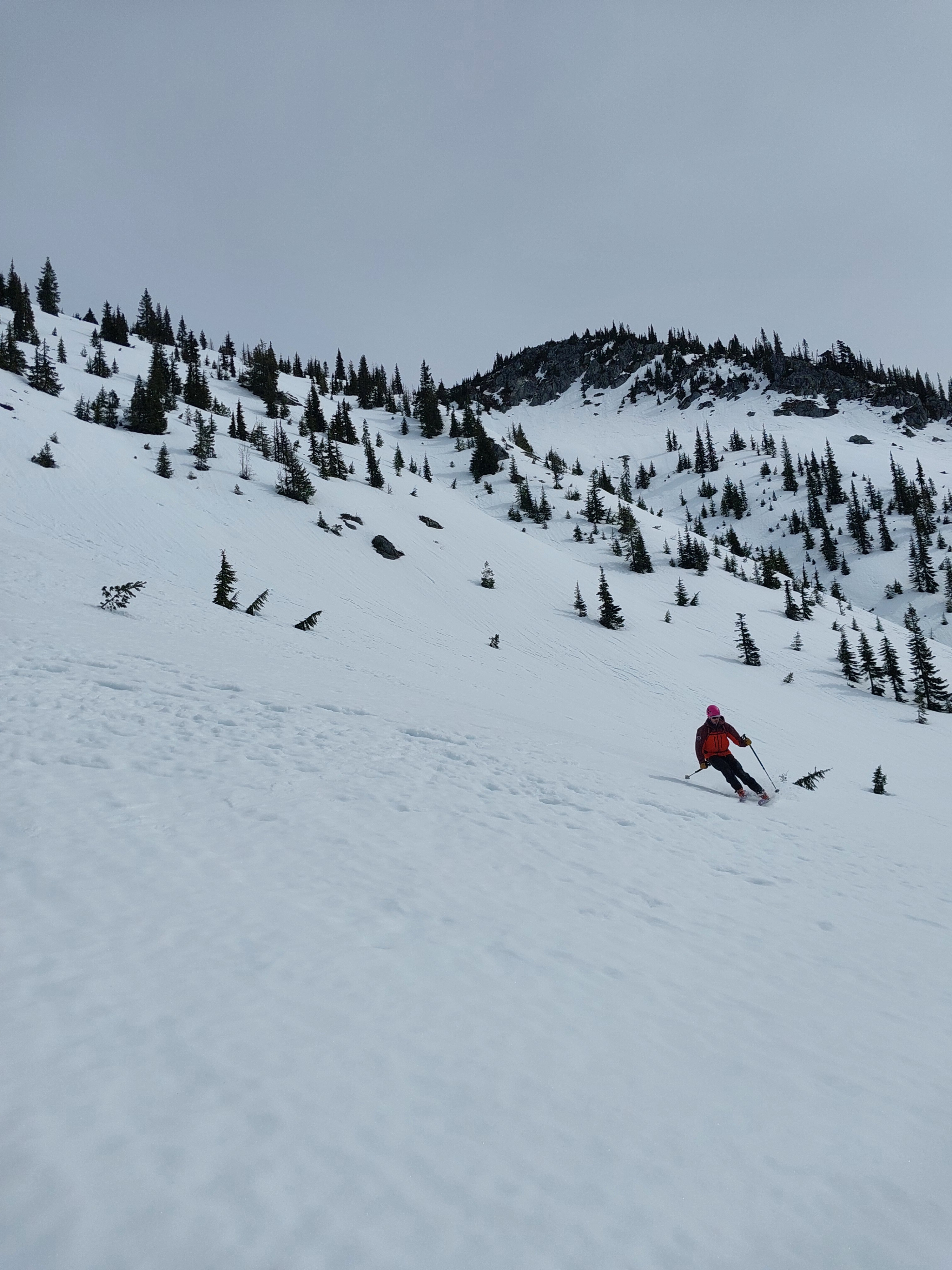
Low danger. Firm, solid crusts on all slopes. Surfaces of SE-SW slopes softened for good skiing starting at 11, likely lasting through the afternoon.
Weather
- Cloud Cover
- scattered
- Wind Loading
- none
- Recent Snowfall
- 0
- Snow Avail For Transport
- none
Clear at 8a, becoming very thin overcast by 1p. Calm, no wind. Temperatures at pass level: ~27F at 8a, ~43F at 1p.
Snowpack
Surfaces
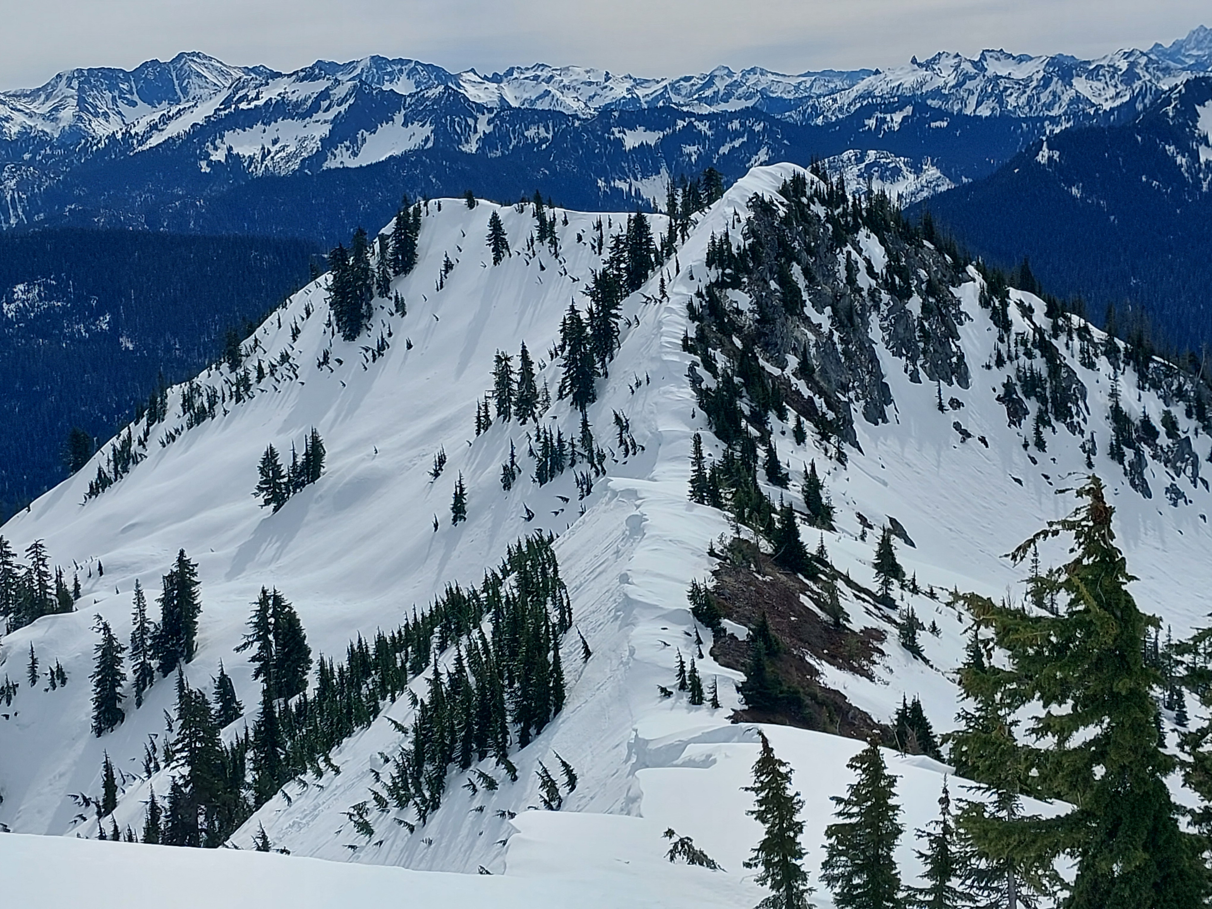
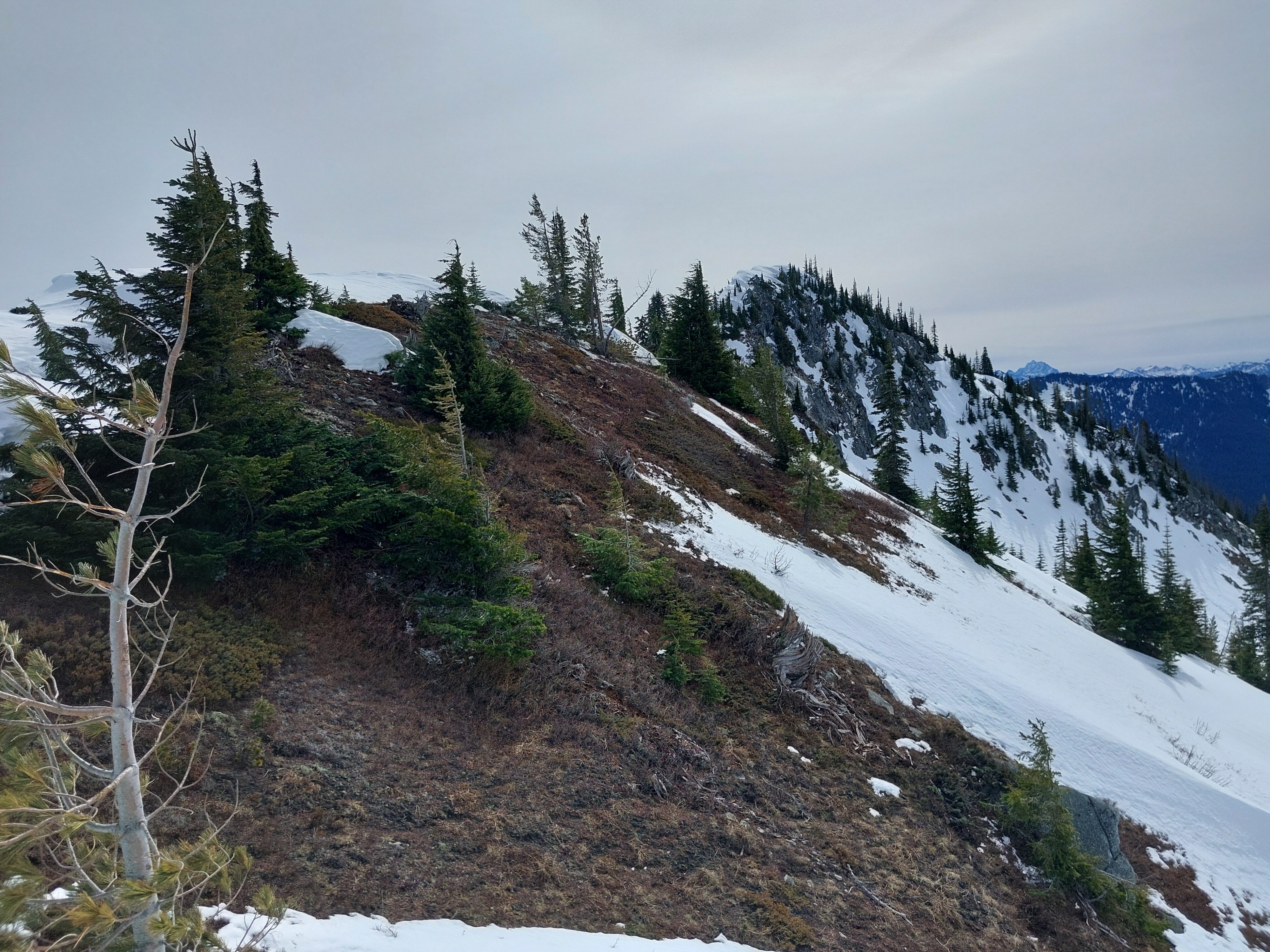
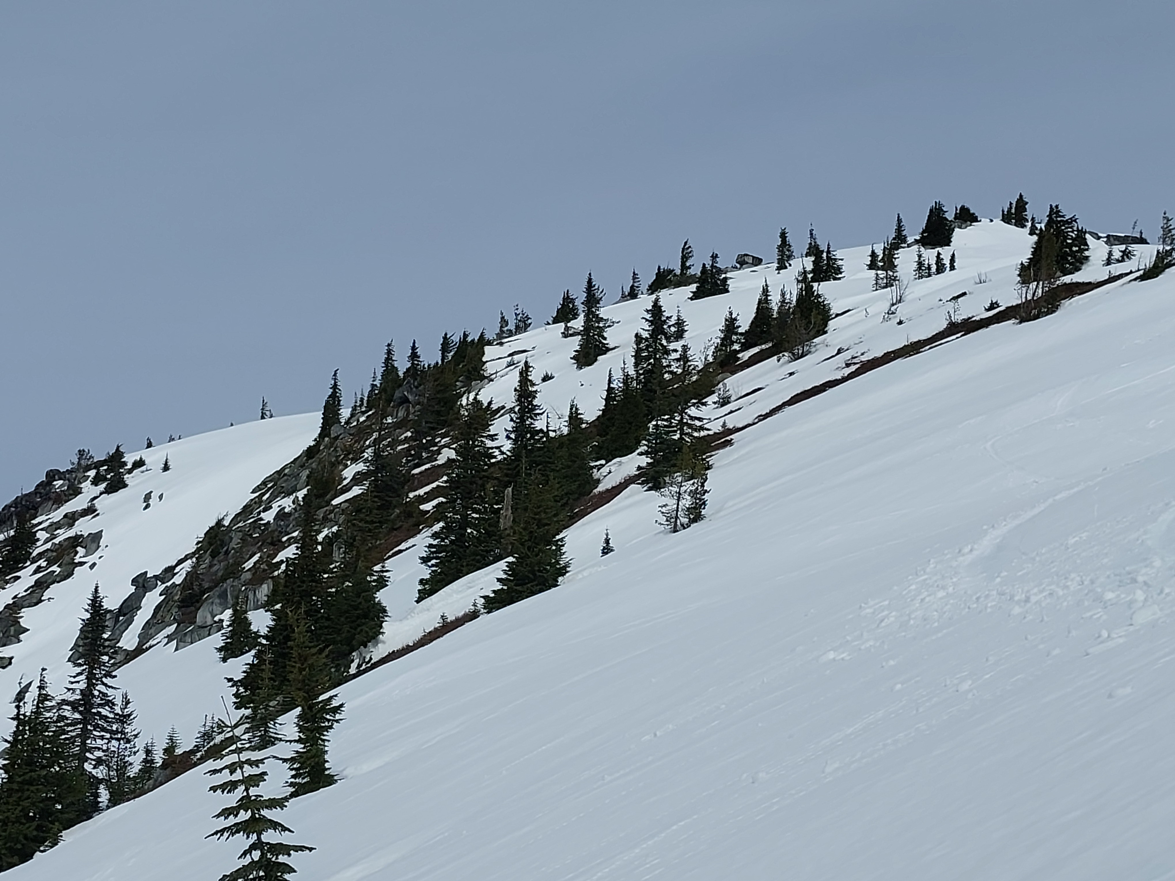
Firm, frozen melt forms. Steeper southeast aspects began softening around 10a, with decent corn conditions by 11a. Southwest aspects were soft at 12a, but prime corn would've been a bit later.
Upper Sowpack
All slopes held a thick, very supportive upper crust through 1p. In open terrain, the top 20-25cm were solidly frozen. Slopes over 30 degrees required ski crampons, and on steeper slopes with fall consequences, we opted for boot crampons.
Under tree canopy, surfaces were slightly softer and more edgable in the AM. Despite textured surfaces, skiing through open trees was surprisingly good. Here, the crust was ~15cm thick, slightly softer. It softened more by afternoon than some open slopes, but remained supportive.
Profile
5500ft, SW
11:05 a.m., Windward, just below the summit ridge
HS 125cm. Boot Pen 0cm
0-24cm: K hard, melt forms, dry
24-50cm: 4F+ hard, melt forms, moist
Avalanche
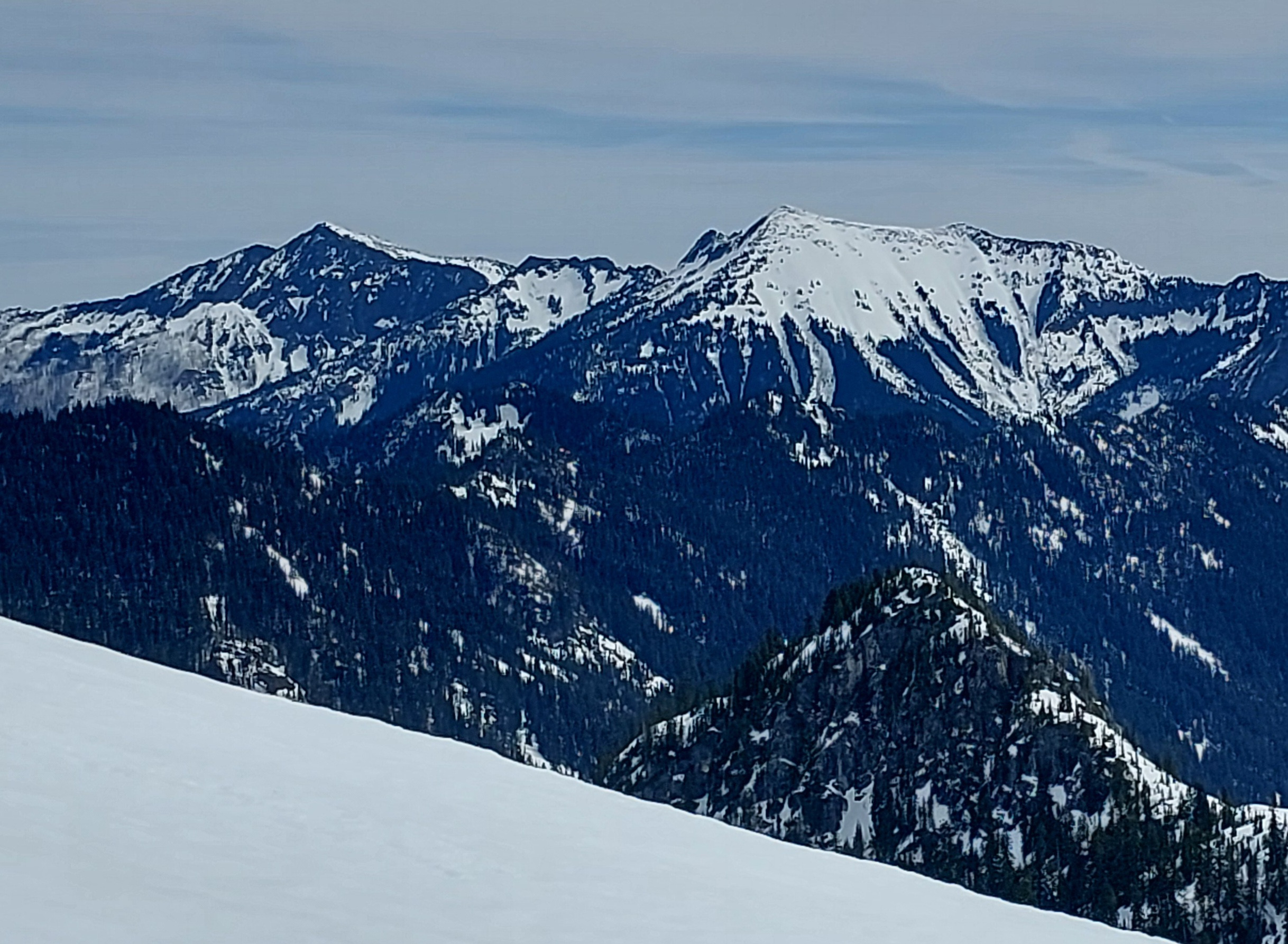
More confirmation of widespread wet avalanche cycles of 3/16-20. In particular, the larger, visible avalanches likely occurred later in the week. Numerous large to very large debris piles, mostly viewed on distant peaks deep in less-accessible parts of the zone, as well as bordering sections of East/West Central zones. Numerous broken cornices and cornice-fall avalanches.