
Quick report
- Collapsing
- widespread
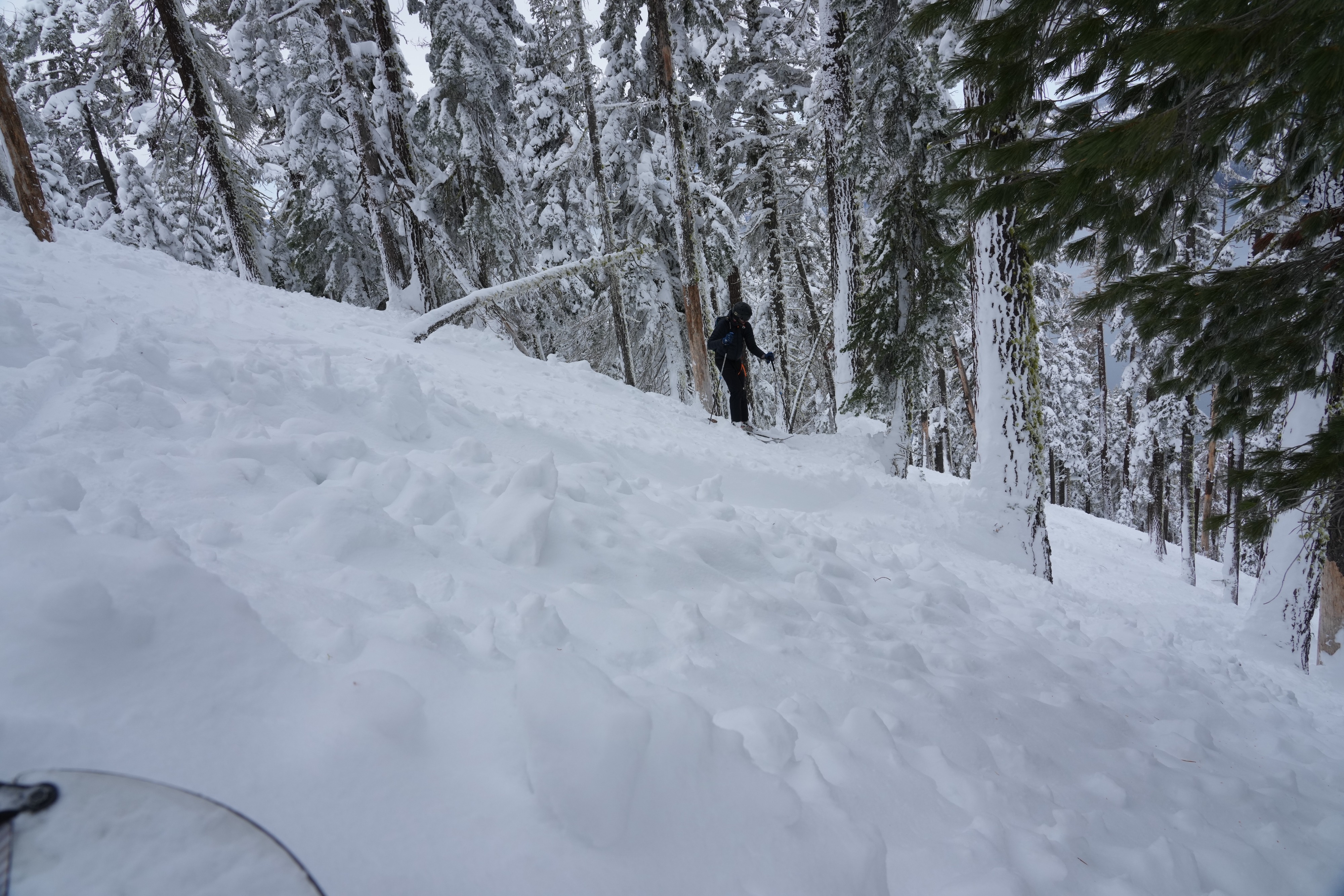
Before we came across the debris field, and while in low angle terrain, we experienced numerous whoomps / collapsing. We were able to observe both a faceted layer with new snow above it and an ice crust farther down, below the most recent facets.
Avalanche
- Size
- D3
- Aspect
- N
- Trigger
- N
- Elevation
- 8217 ft
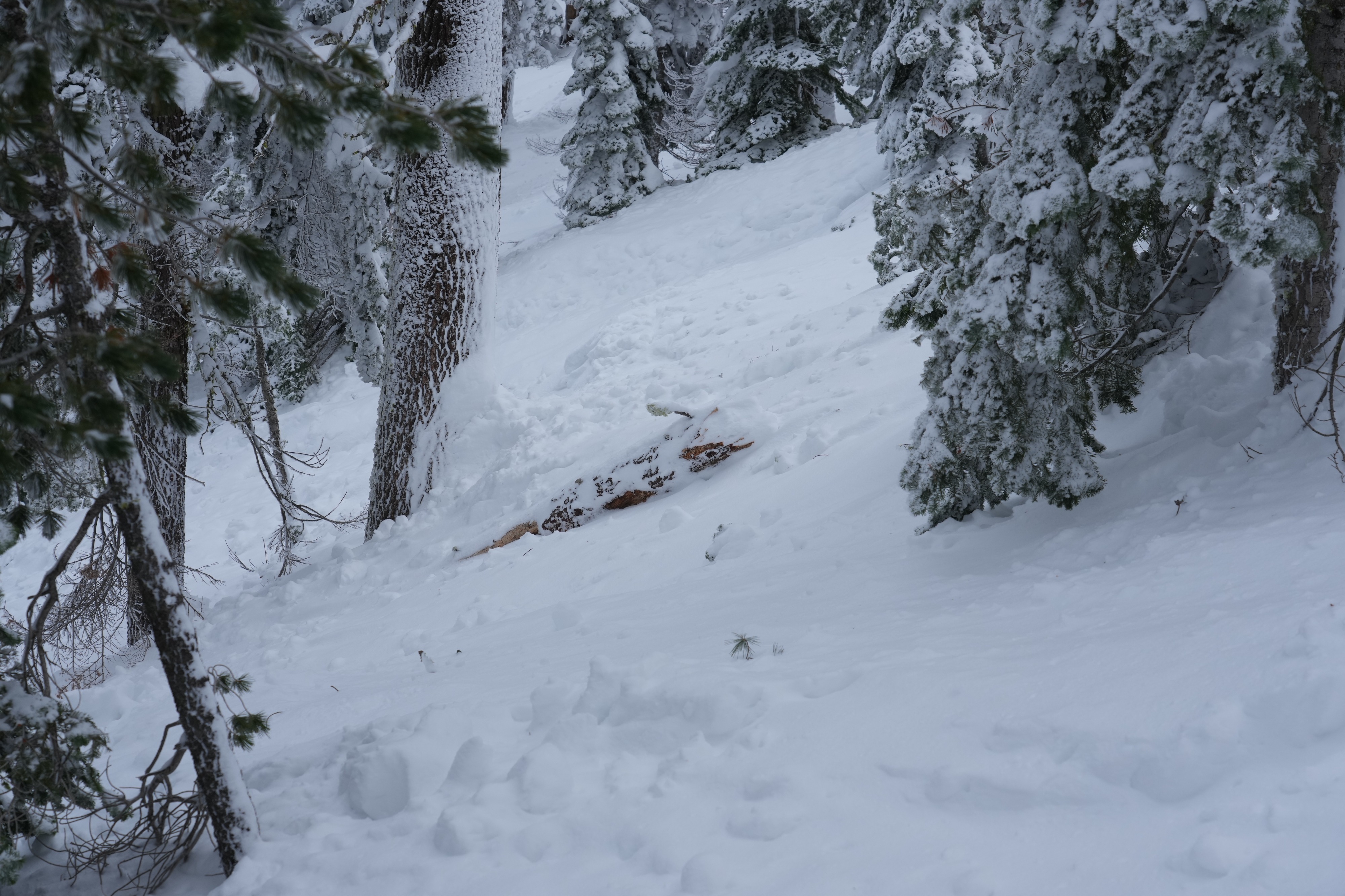
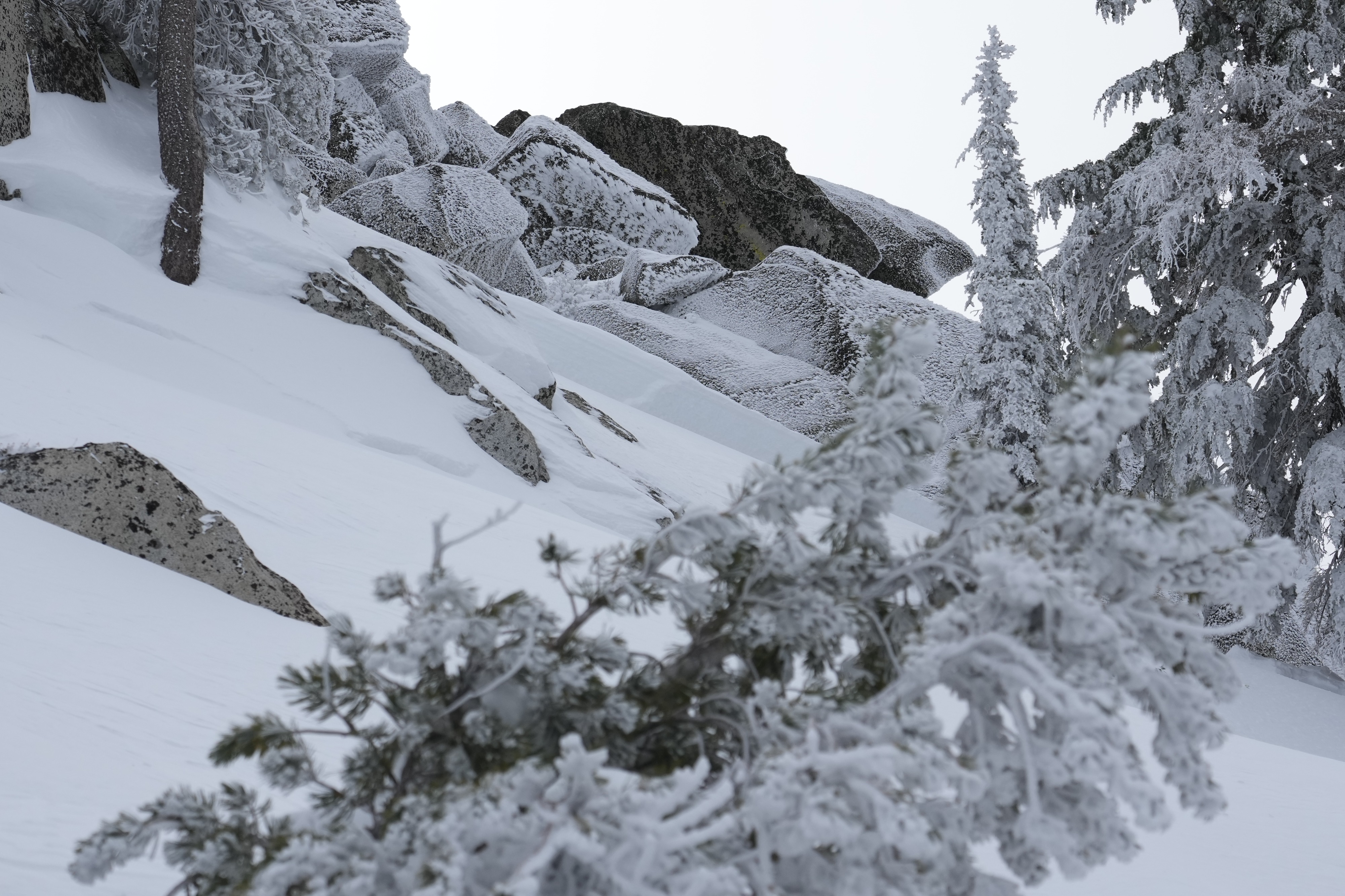
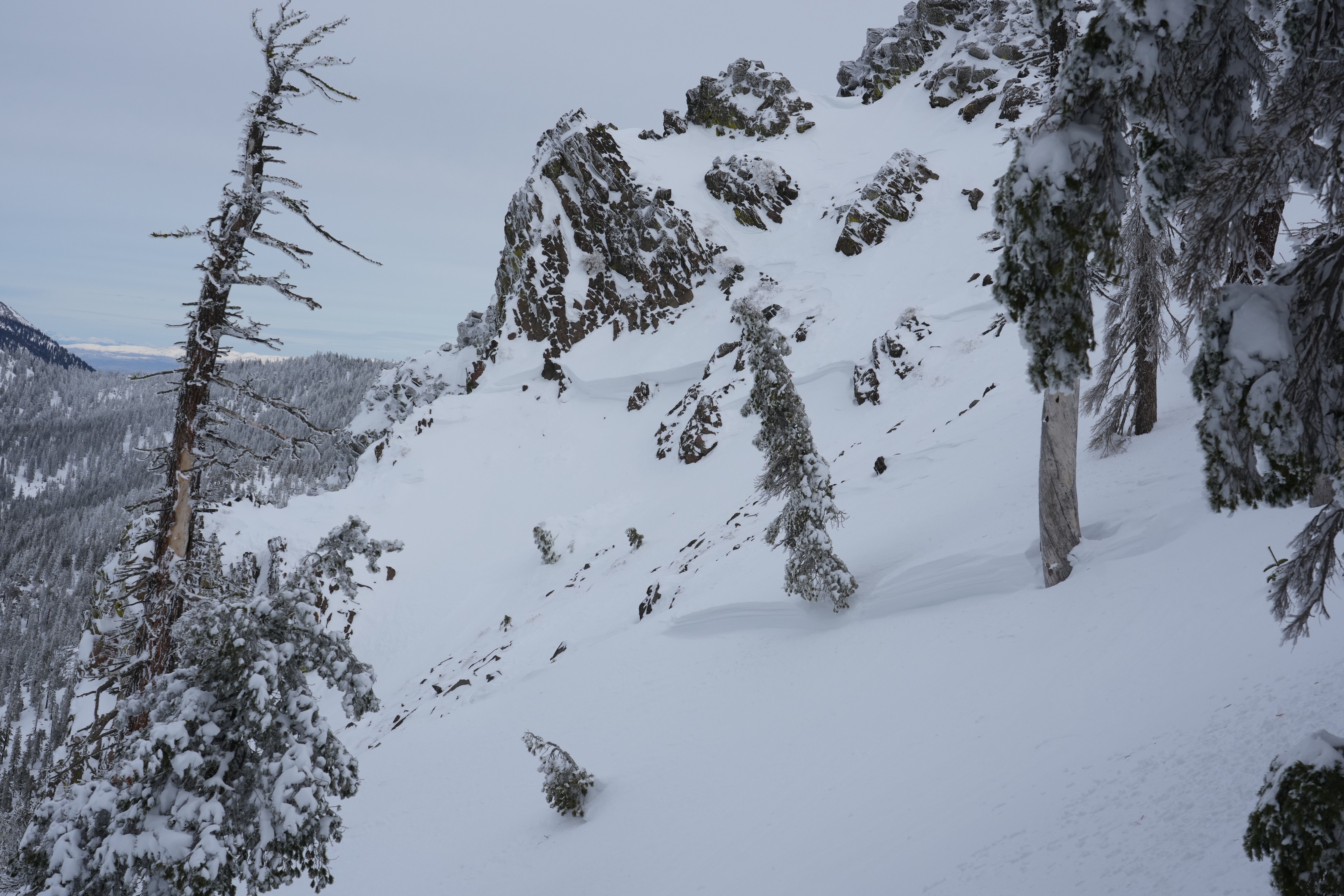
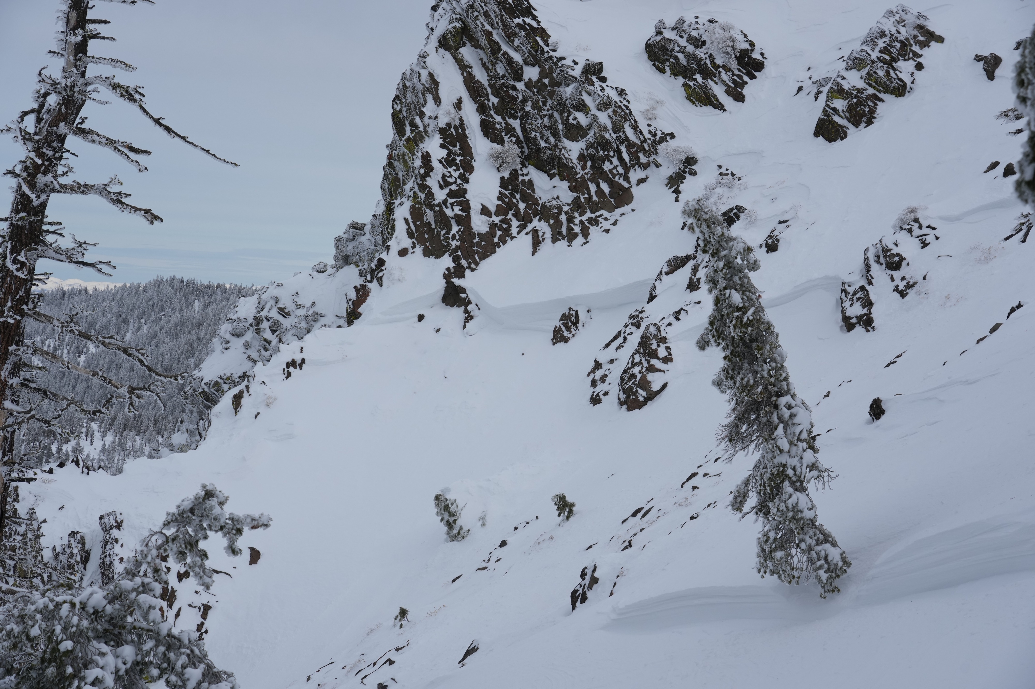
This slide started near the top of the NW trees a bit North of Sand Harbor and South of Tunnel Creek on the east side of Lake Tahoe. It appeared to be a natural slide that took place a bit before snowfall ended with some new snow on settled debris. This was a significant slide with multiple crowns ranging from 1-2 feel and a slide path that covered 850+ vertical feet continuing well into terrain under 30 degrees. The width was roughly 300 feet in places, possibly more. It appeared, at least in some spots, to have slid down to an icy rain crust layer (where there was minimal snow below that in this zone) and was likely initially triggered by a wind slab giving way. The slide started among rock features near the top, but there was still wind loaded snow above the crowns among the potential routes to top out, so we choose to avoid that terrain and descended down the debris field until we felt comfortable moving into untracked snow.