
Weather
- Cloud Cover
- overcast
- Wind Loading
- moderate
- Recent Snowfall
- 25cm
- Snow Avail For Transport
- moderate amounts
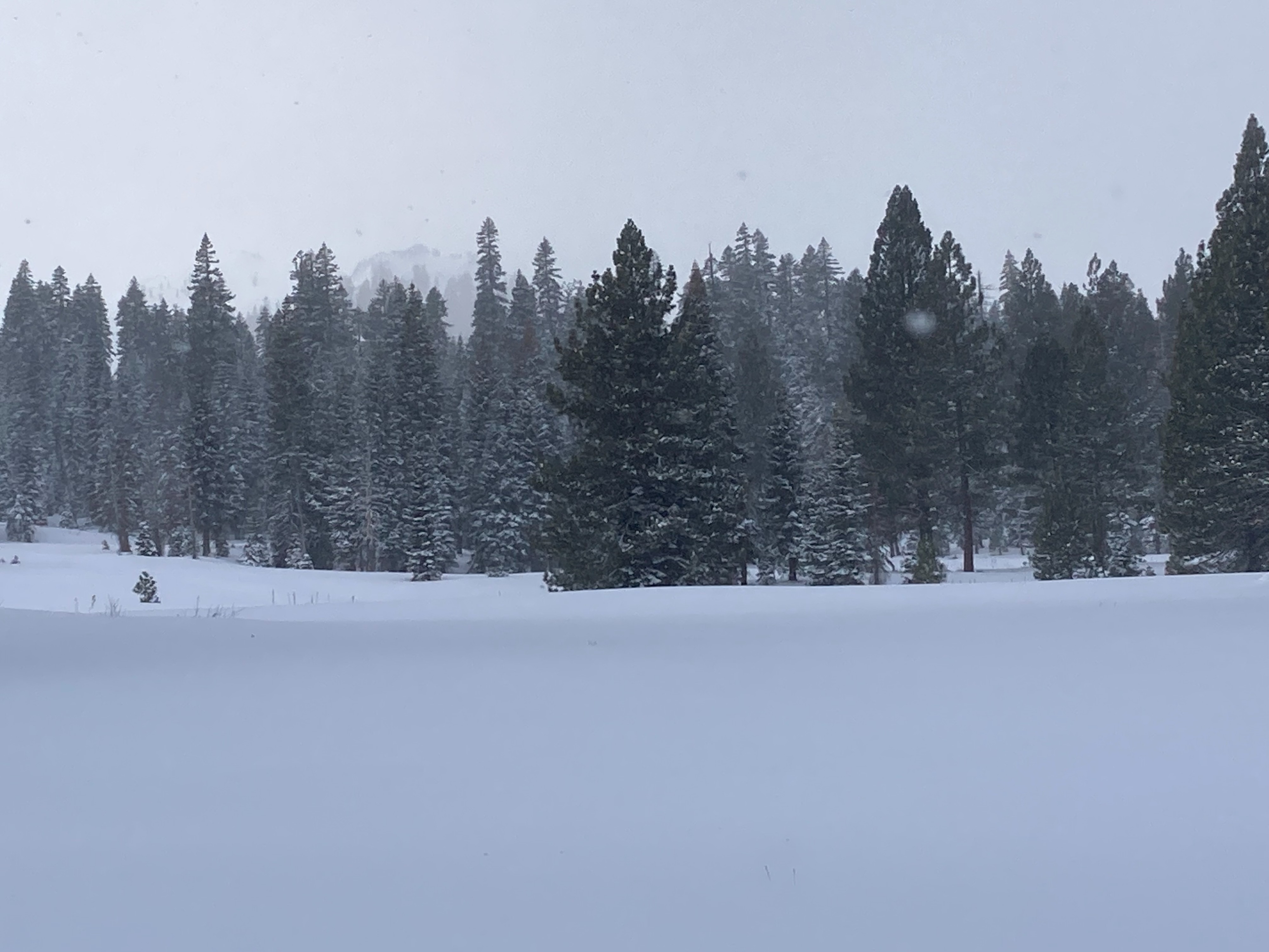
Cloudy skies throughout the day with light on and off snow showers. Moderate to strong SW ridgetop winds with moderate amounts of blowing snow observed.
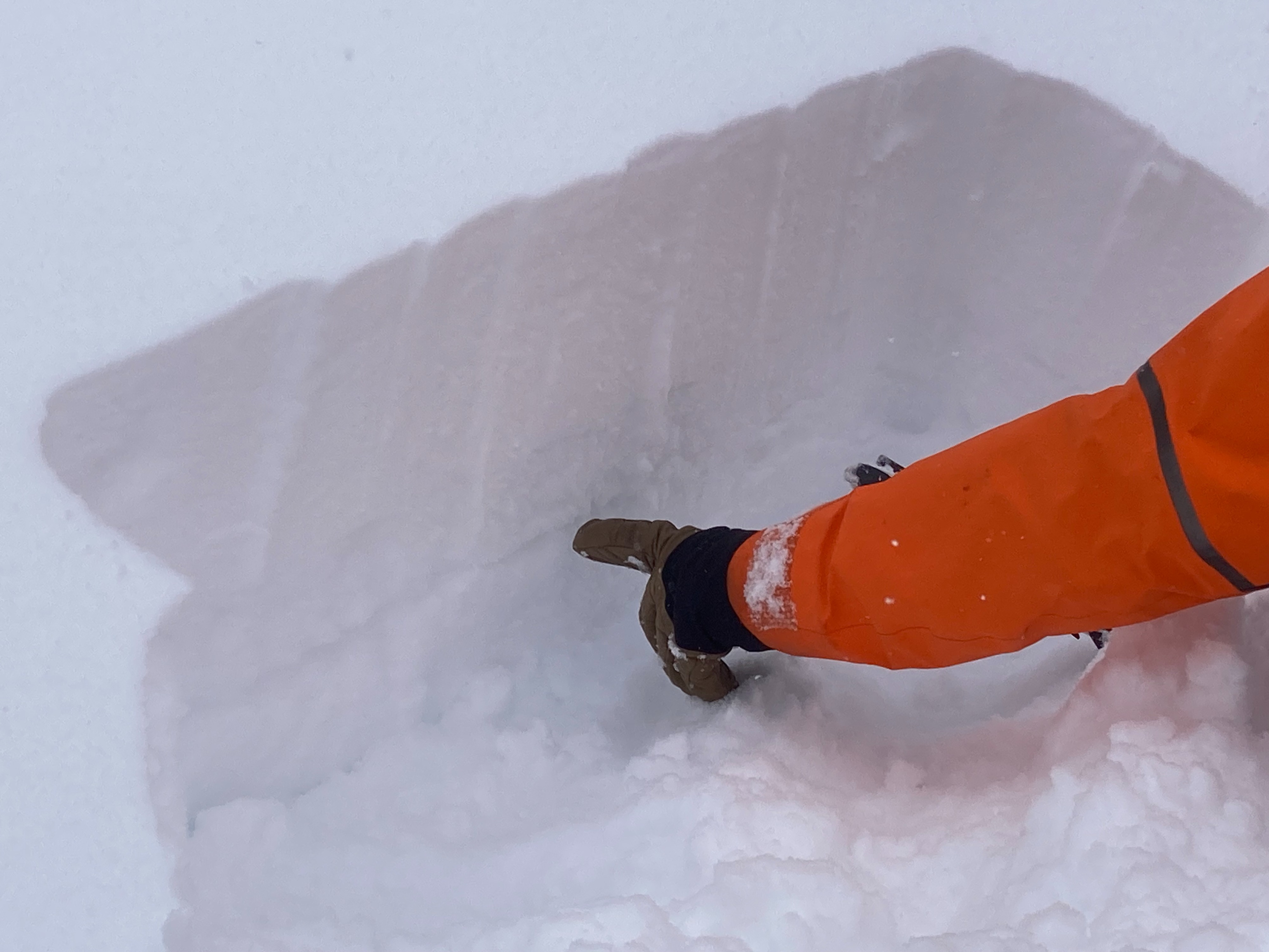
Snowpack
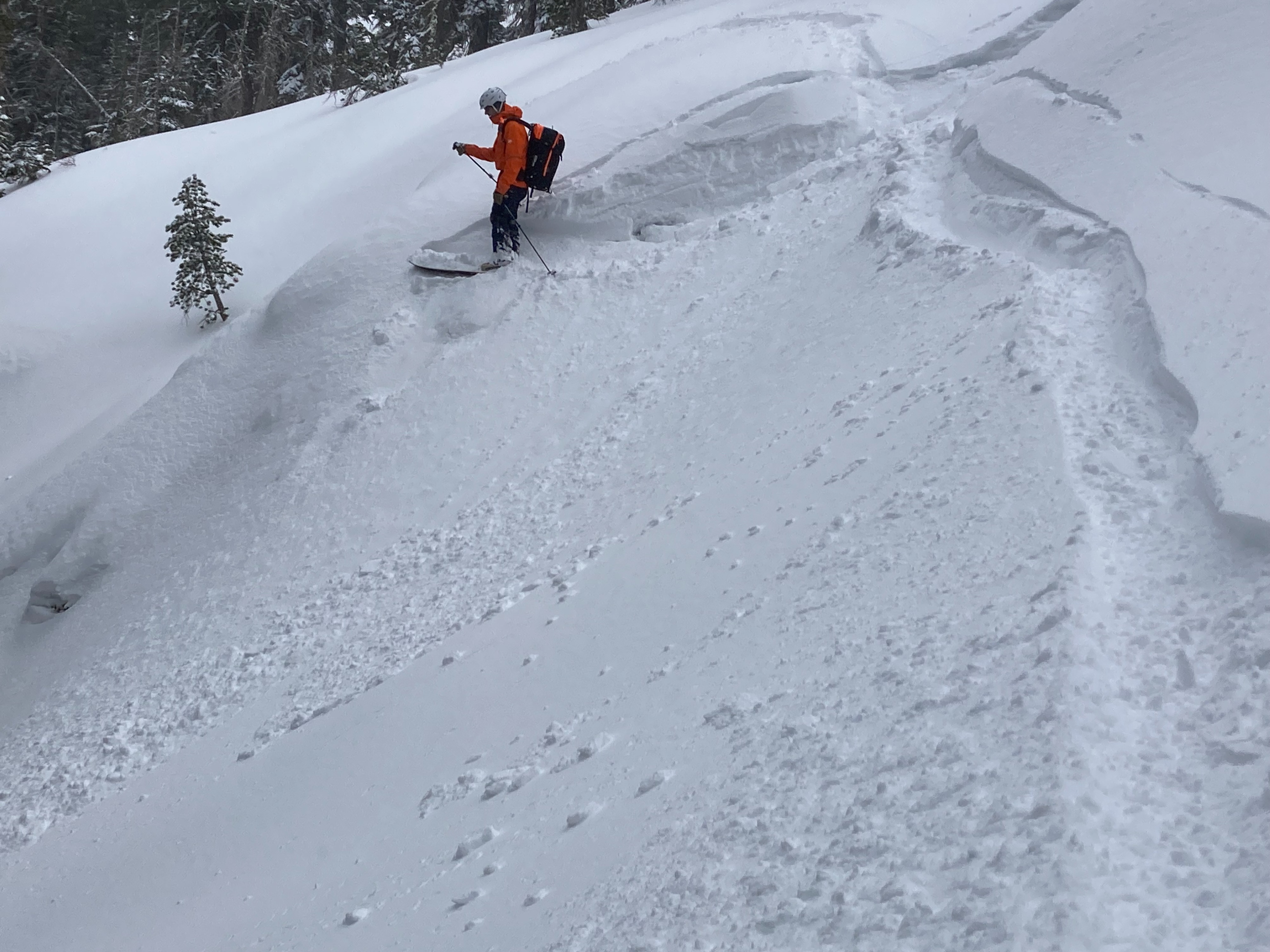
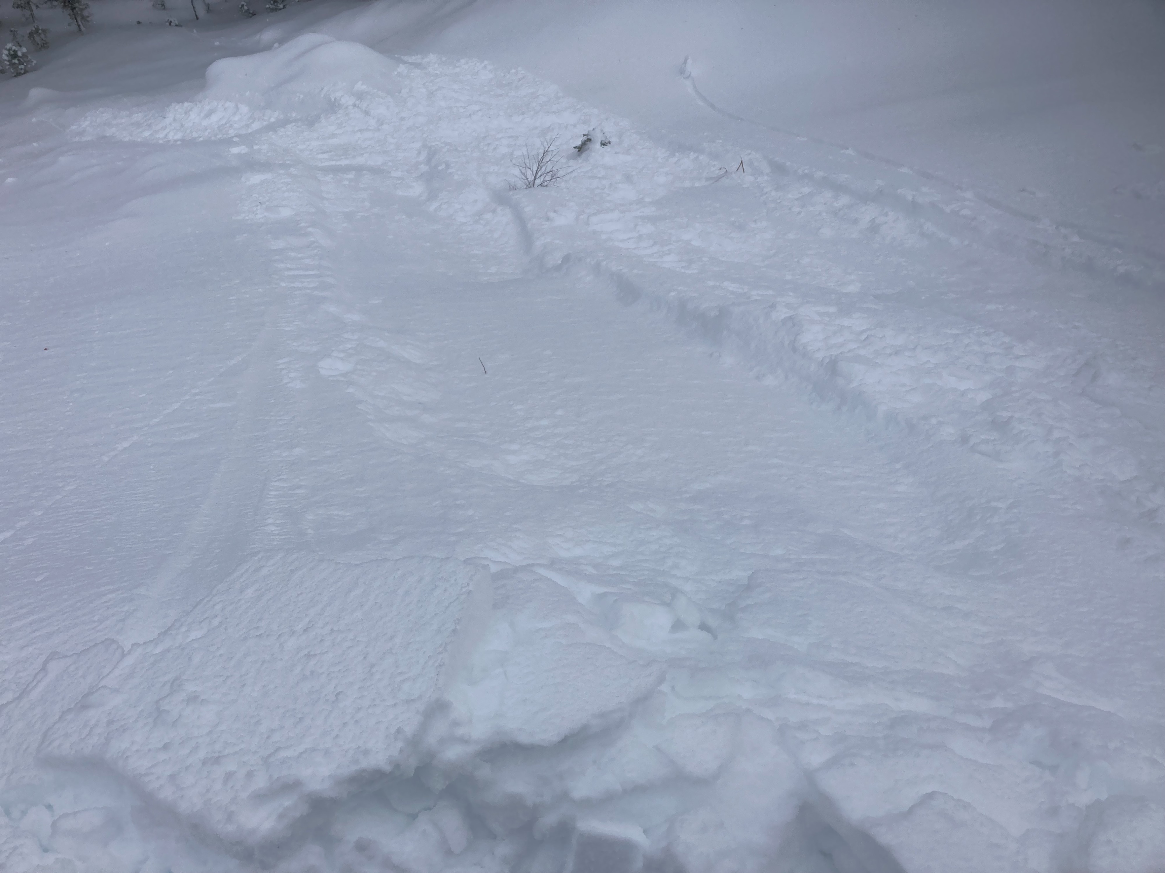
We went to Silver Peak today to make observations. We found 6'' of new snow around 7000', with up to 8 to 10'' at 8000'. This new snow exists over the Dec 12 NSF layer. At this location, a rain crust exists below the Dec 12 NSF's with additional weak faceted snow. We saw limited signs of instabilities throughout our tour. Localized cracking was limited to wind loaded areas. Recent formed wind slabs were up to 2' deep, but did not show signs of being reactive. Snowpack tests showed that the Dec 12 NSF's are still weak, but there is not sufficient load on top of them to cause failure at this time.