
Quick report
The structure for triggering a 1.5-2.5 foot thick slab avalanche exists on many, but not all slopes. Spatial variability of the persistent slab problem is high right now, and snowpack needs to be evaluated on on a slope-by-slope basis. You likely won't see any warning signs before triggering a slide, which could run on a slope that has many past tracks on it. Triggering an avalanche is more likely in areas where the snow surface has been affected by the wind.
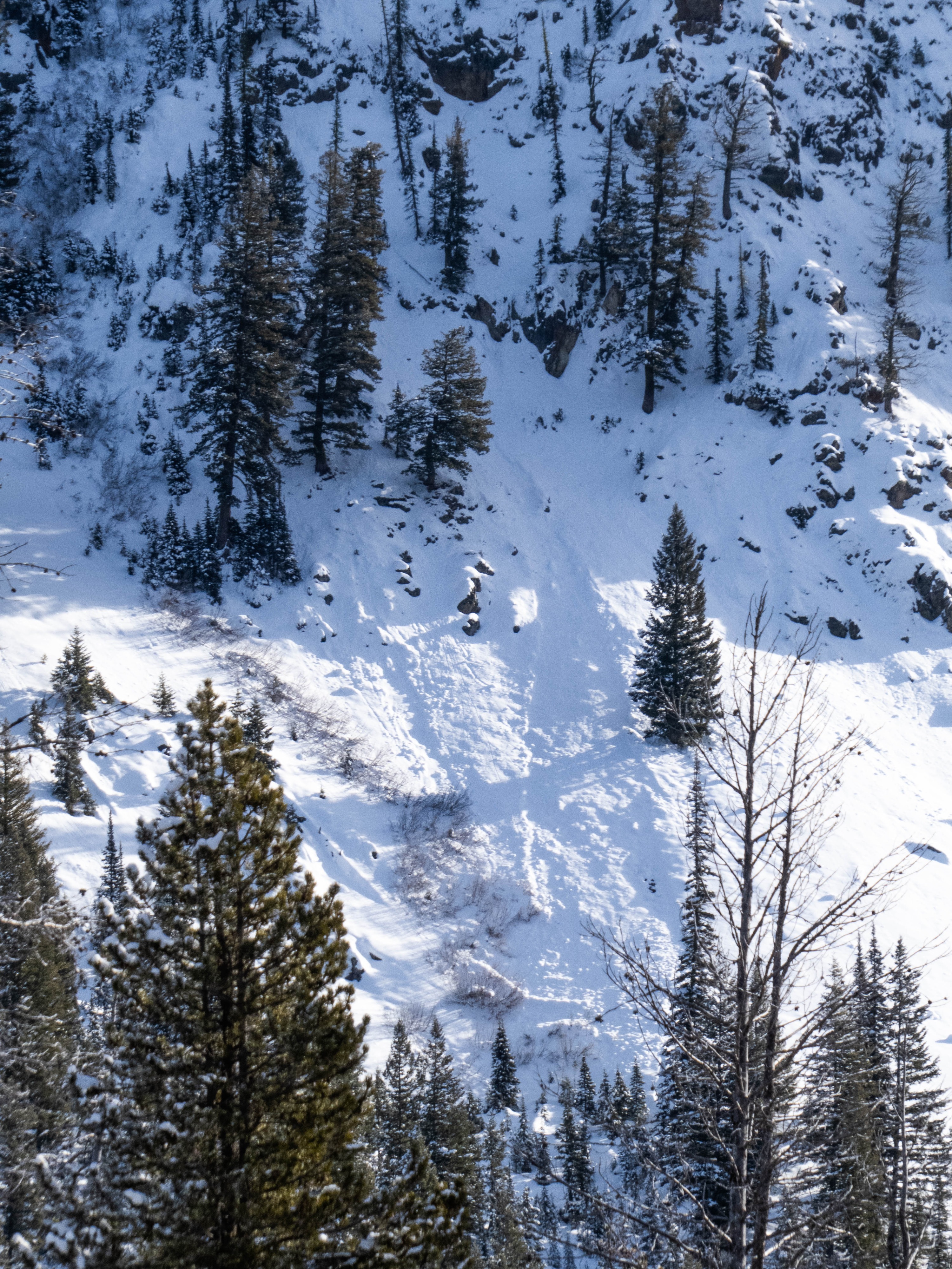
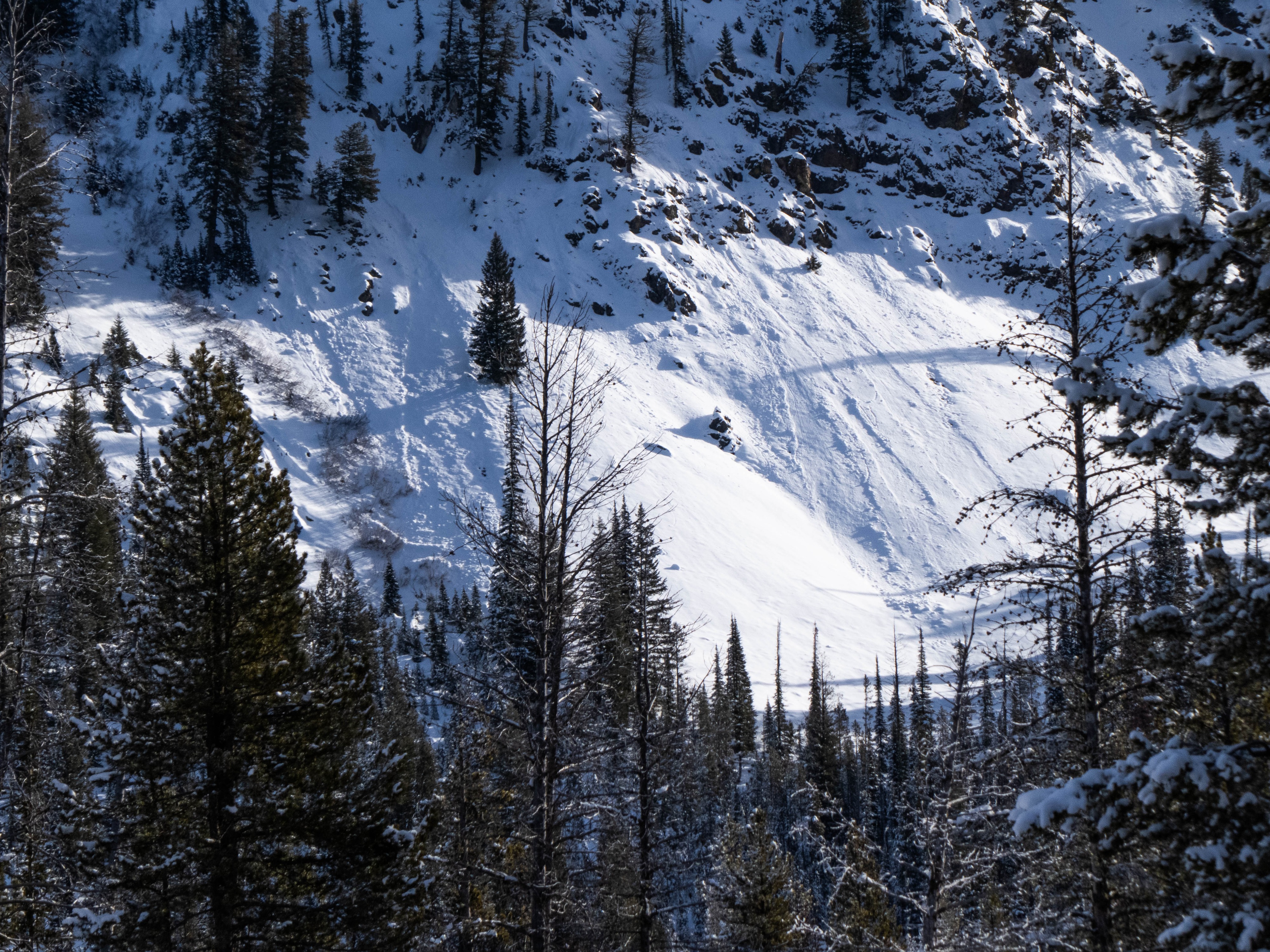
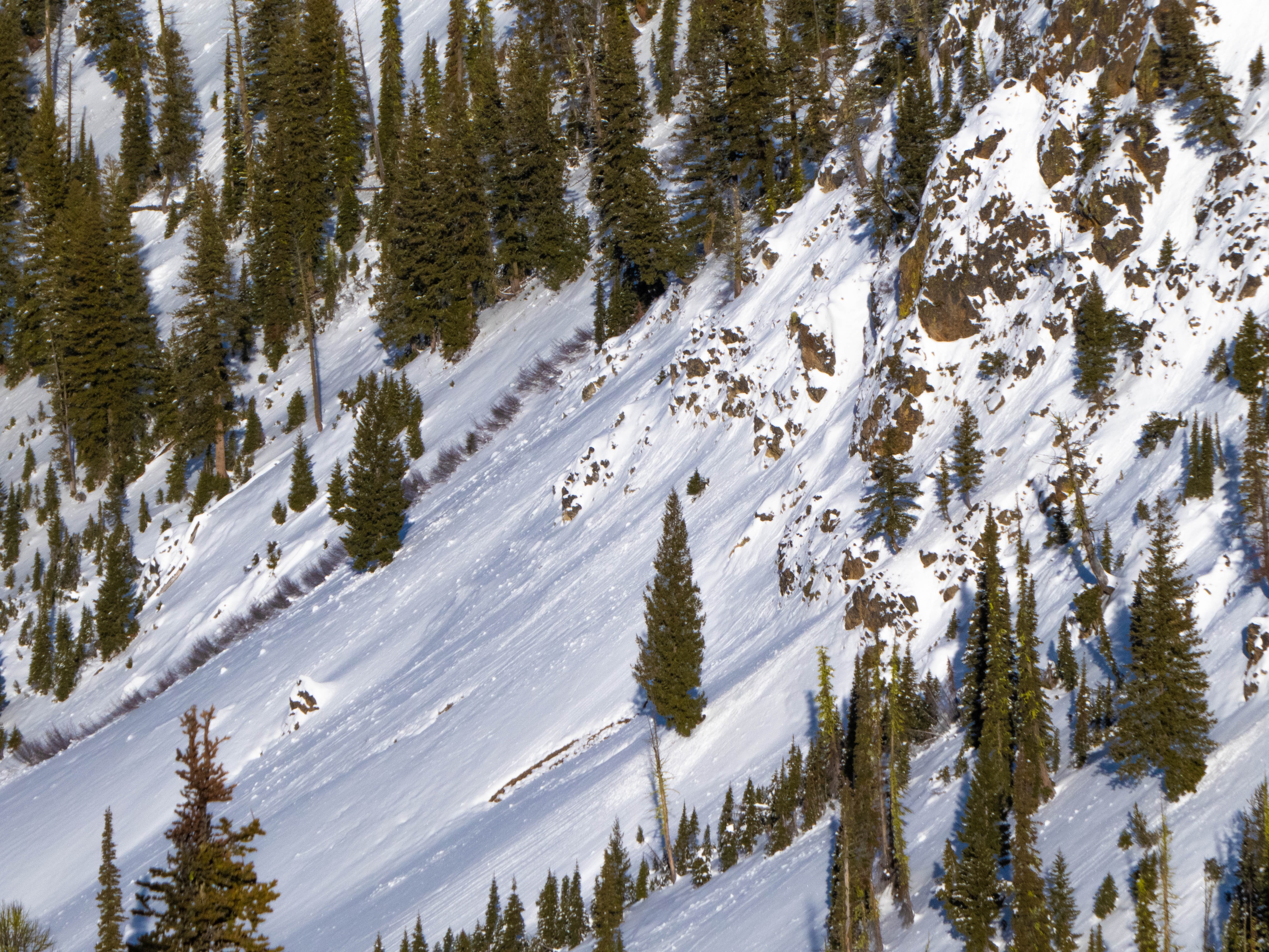
Observed some more recent small (D1) wet loose slides on solar aspects, as well as older slab crowns, but nothing recent / of note.Weather
- Air Temp
- <32 °
- Cloud Cover
- scattered
- Wind Loading
- previous
- Rain Elevation
- 0
- Recent Snowfall
- 0
- Snow Avail For Transport
- small smounts
Broken cloud cover hung high in the sky, allowing plenty of sunshine. Temperatures remained below freezing. Winds were mostly light and variable, with the occasional moderate gust at true ridgeline.
Snowpack
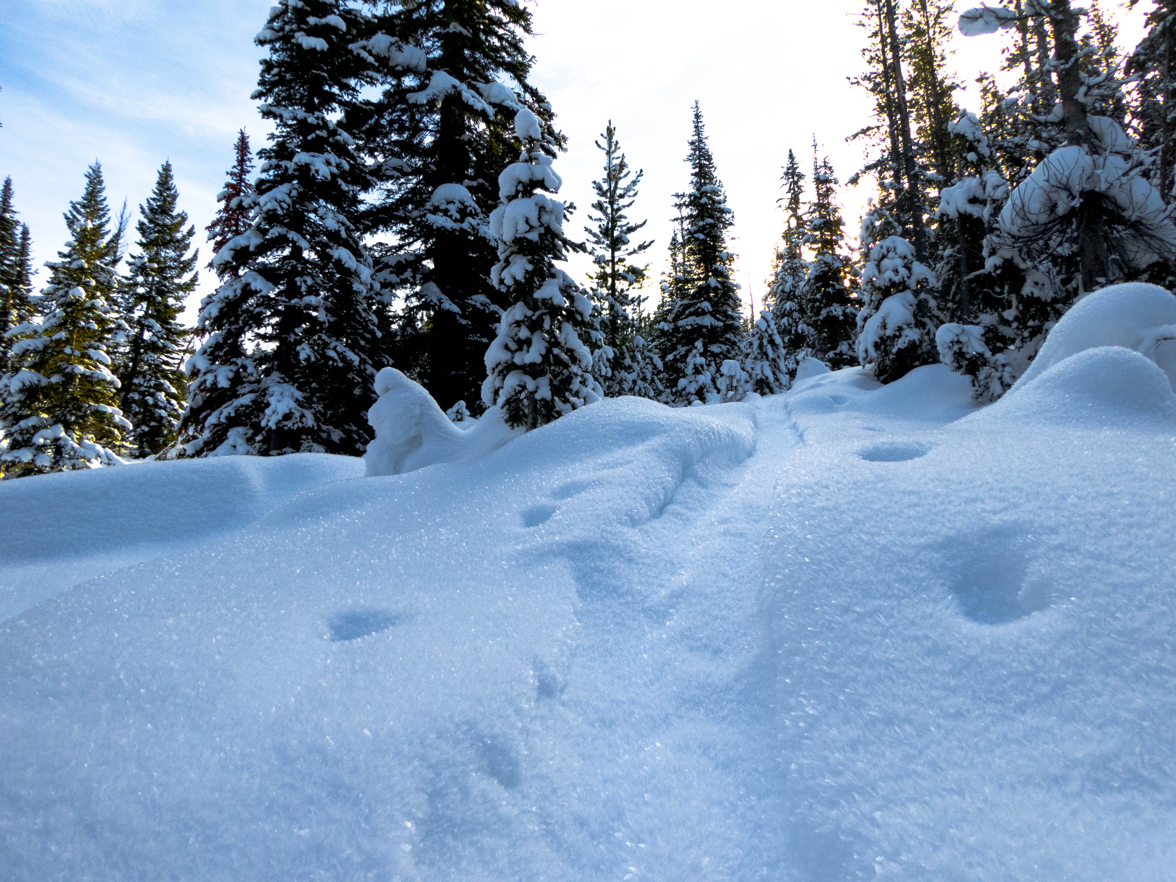
Traveling up from the truck at the road, I observed widespread well-developed surface hoar on all E-N-W ranging from 4-6mm down low near creeks to 2-4mm up higher farther out of the moisture sink. Probing with the back of my ski pole as I gained elevation, I found our weak 11/30 facets near the ground everywhere I traveled on these colder aspects up to ridgeline. Snow surfaces were soft until cresting out of the trees near 7800', where an older solar crust lay under the top layer of facets / SH. Reaching ridgeline, past wind effect was evident, with some smaller wind slabs both lingering and having previously run.
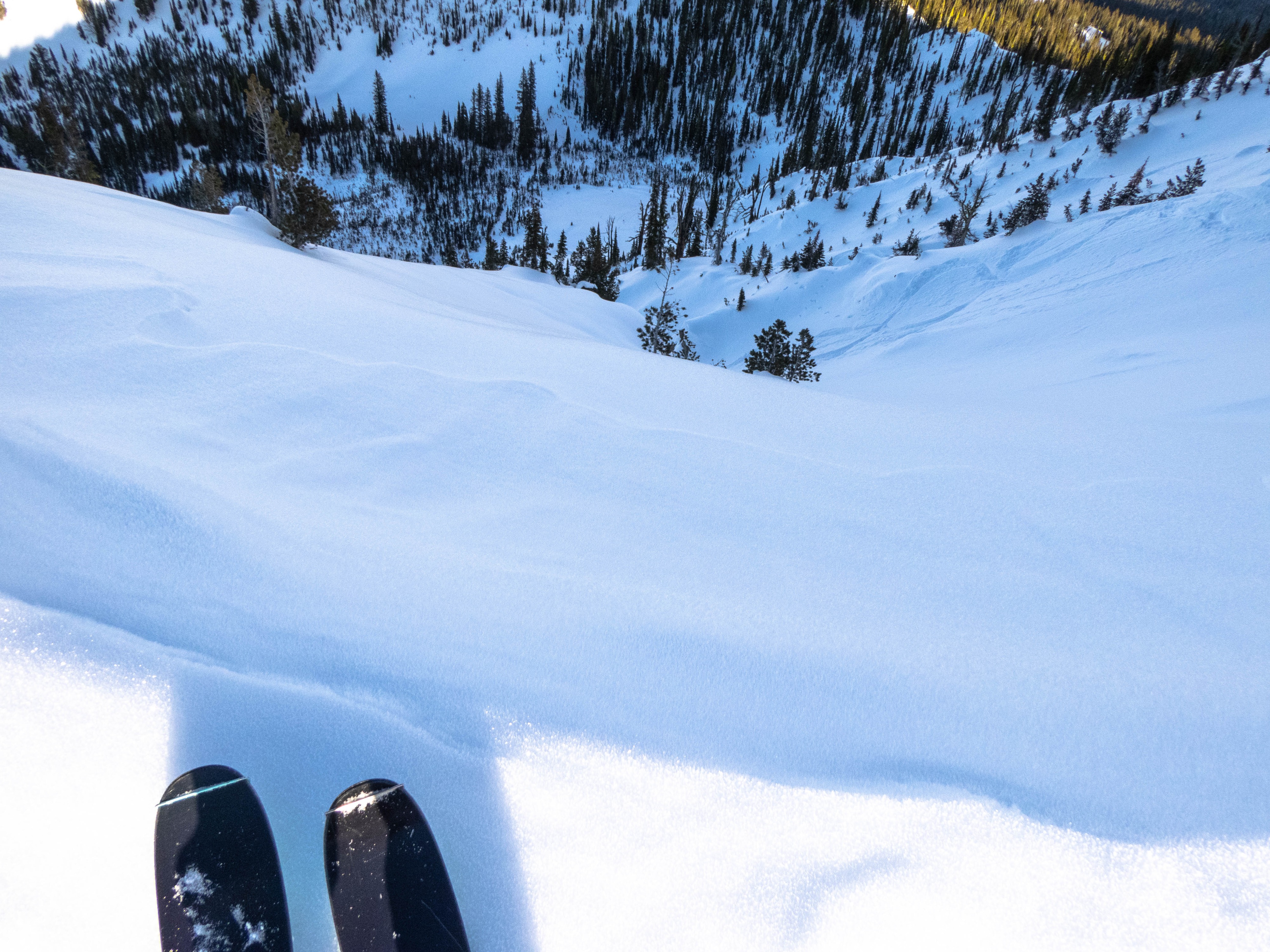
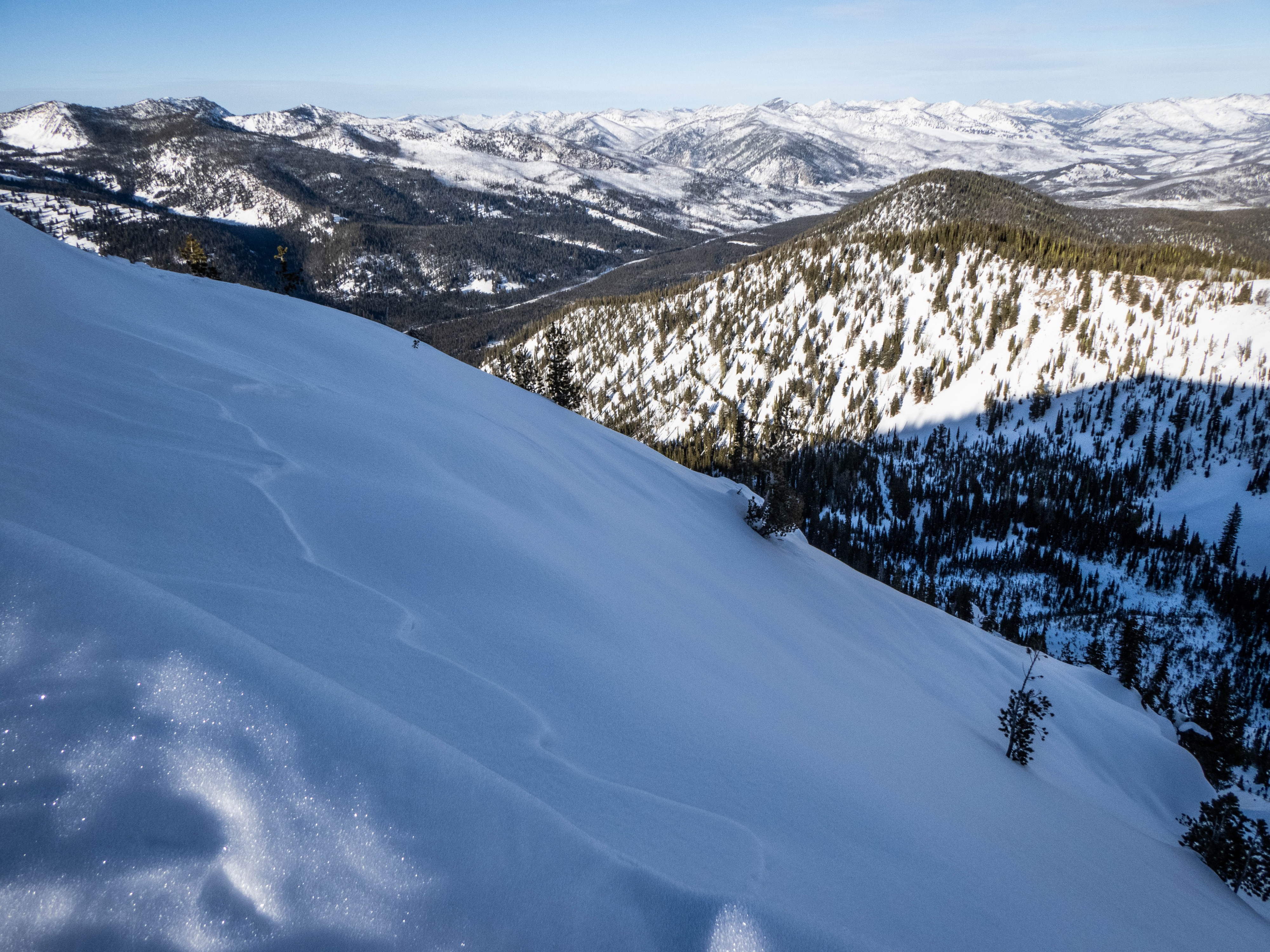
Digging a pit on a NE-facing slope at 8600', I found the slab over weak snow structure needed for our persistent slab problem. Stability results indicated that there is still weakness at the interface between the slab and the facets, but that triggering a slide would be difficult — but not impossible. At the ridgeline of the summit, I found wind-affected snow near ridgeline, with thin (6") hollow-sounding snow under my feet as I dipped just N off the ridge. Cornices in this direction told the story of past S winds moving a decent amount of snow around, but not very recently. Traveling around the compass near the top of the mountain, I was able to observe snow surfaces from full melt-freeze solar crusts, to wind board, to smaller SH in more sheltered pockets, to near surface facets in most northerly terrain. The snow surfaces of today are the weak layers of tomorrow, so keeping track of what is on the top of the snowpack where you desire to travel will be crucial heading into our low pressure (!) this weekend.