
Quick report
- Cracking
- isolated
We went out in the storm to see how the snowpack was fairing. With a significant new load, warming temperatures, rain up until about 4000ft, and plenty of wind, we avoided all sustained steep slopes. Though we never got technically rained on, we certainly got wet. There was evidence of rain-on-snow up until about 4200ft, and the snow was still quite heavy above that point, with decent travel conditions beginning above about 4600ft. The dense surface snow likely explains why we saw limited evidence of wind-loading, despite the strong winds overnight, until we got above about 4700ft. Travel below the rain/snow line was heavy, slow, and challenging.
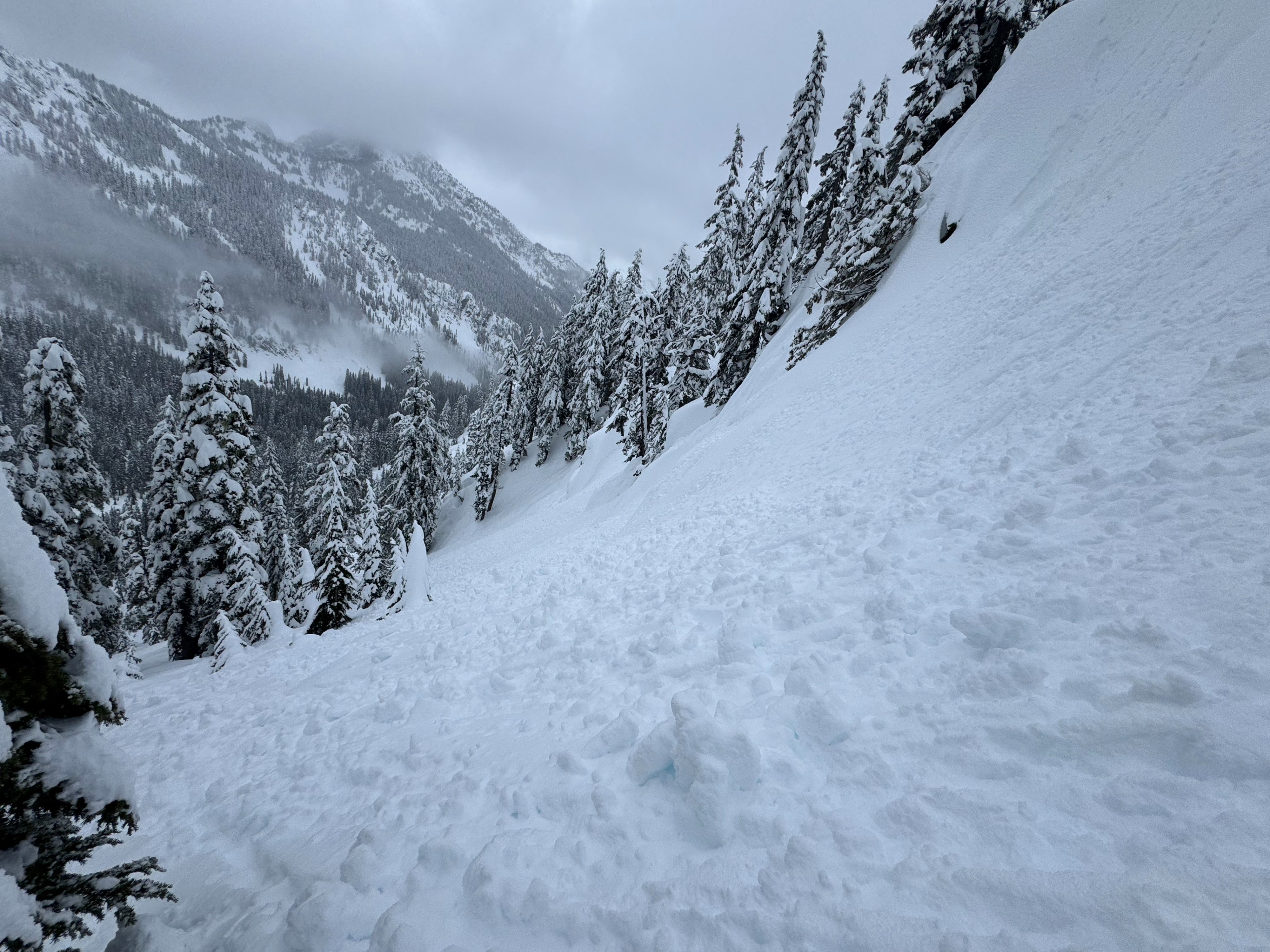
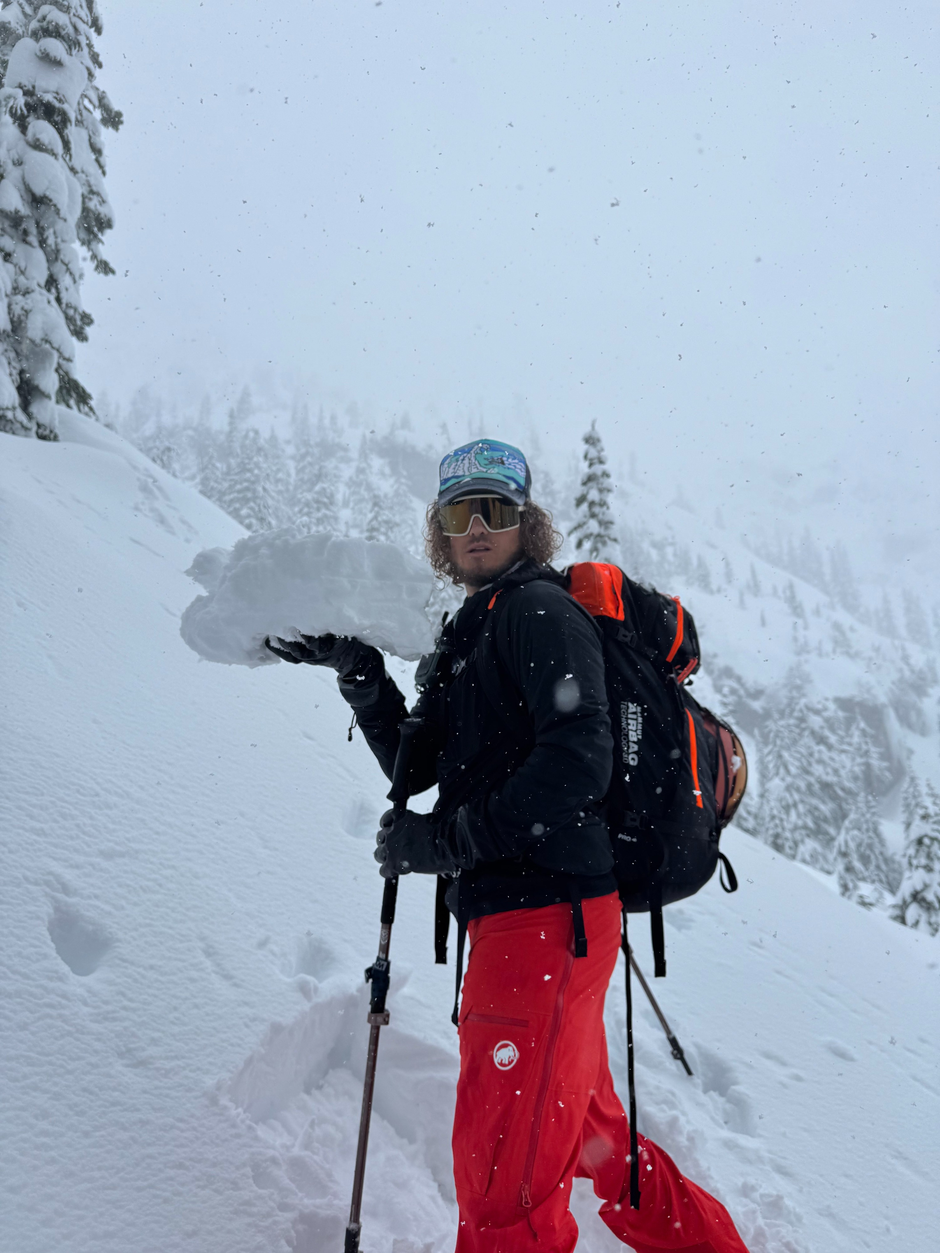
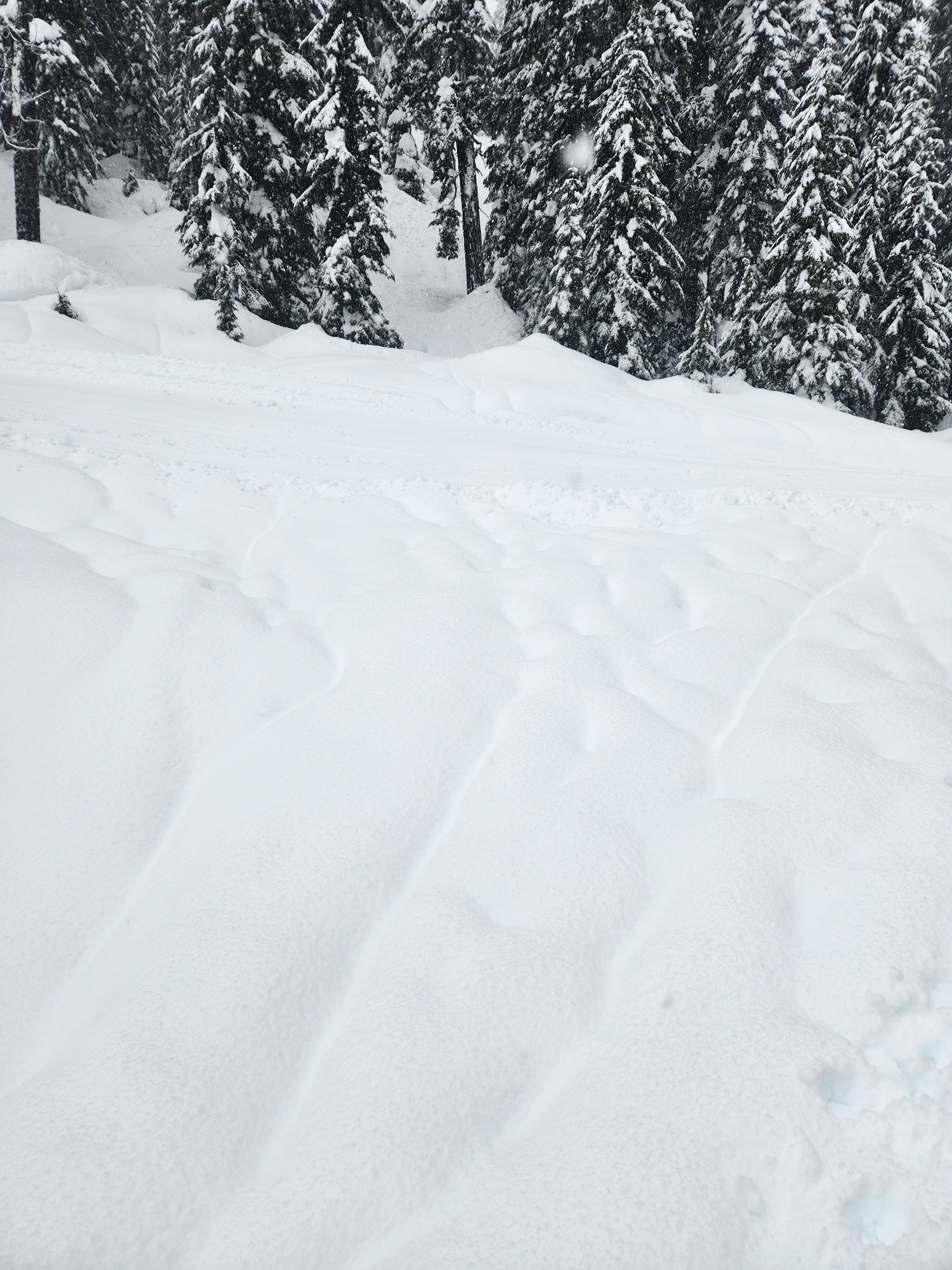
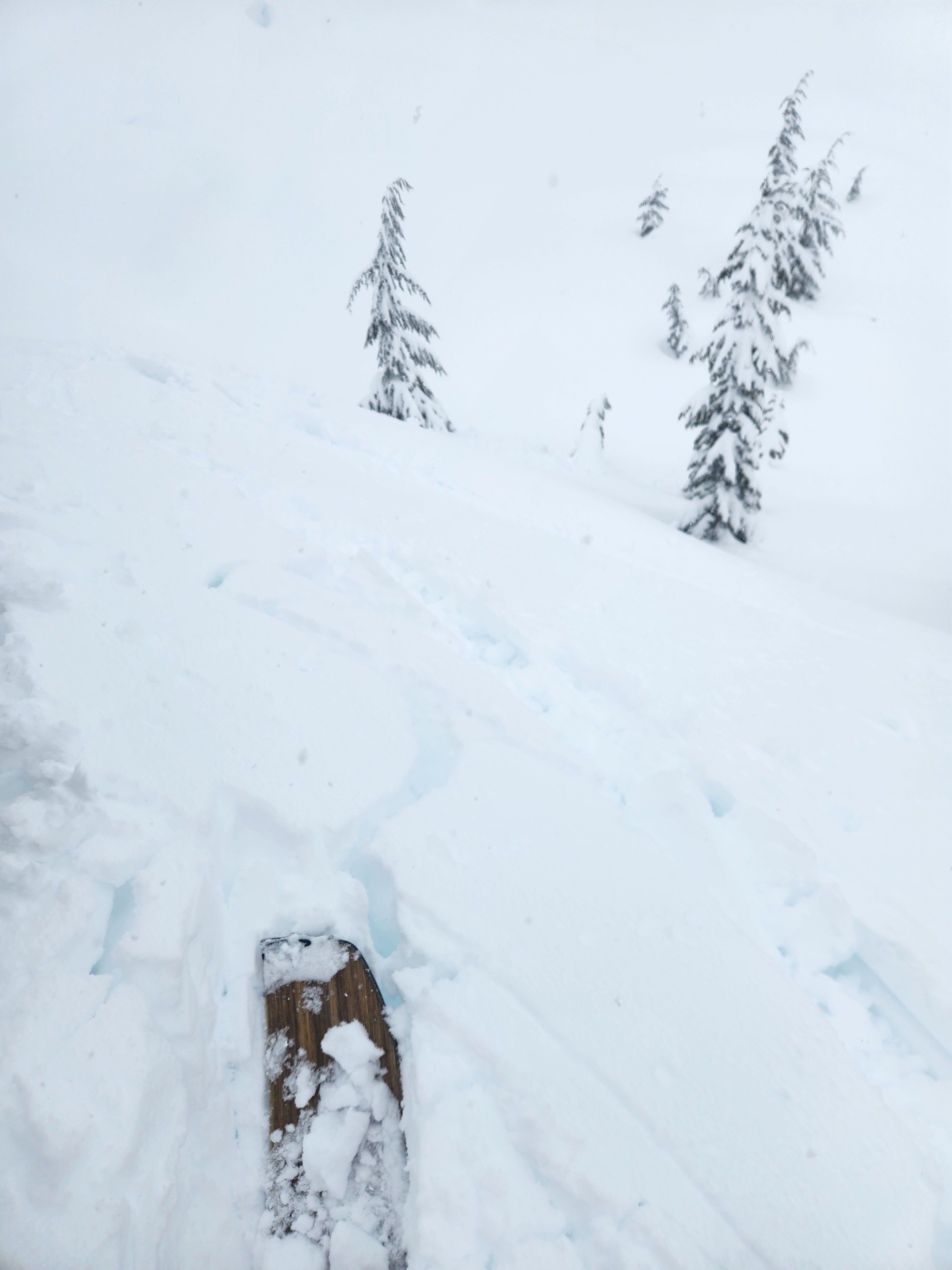
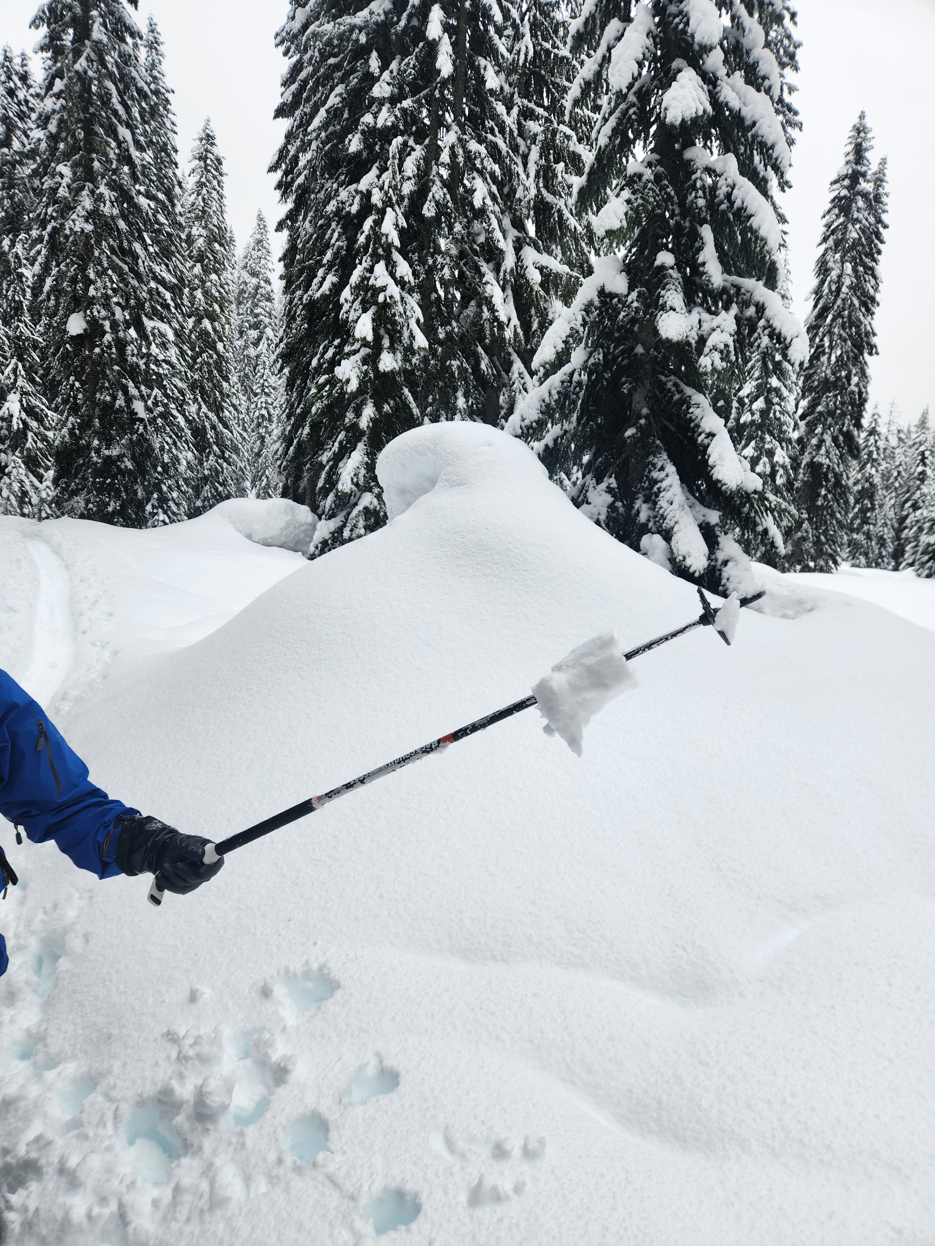
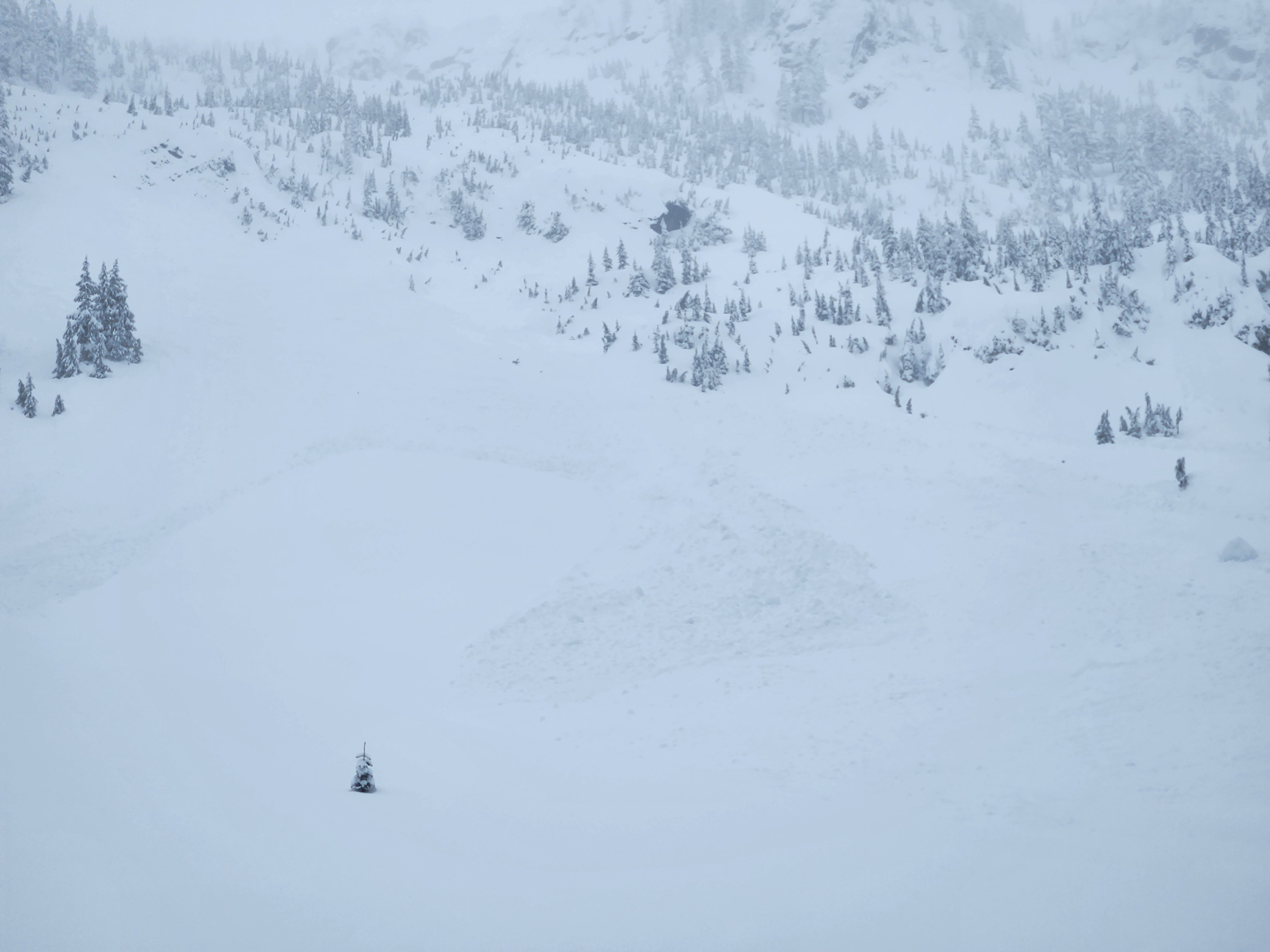
Though the dense new snow now rests over lower-density snow from earlier in the week, creating an upside-down situation in the upper pack, we were able to provoke only limited cracking on steep and unsupported test slopes, as the new slab was fairly well cemented into place where we traveled. Snowpack tests were unremarkable. We did observe debris from a large natural slab avalanche in the apron above Source Lake, likely from the overnight or early morning hours. Tree bombs were a plenty, as were rollerballs and pinwheels, especially below 4500ft on steep slopes, as well as along the highway on the drive out.
Cracking only on very steep and unsupported features - less than 3ft at maximum. Running 6-8" down at new/old interface on dry and lower-density snow below the heavy new snow.Weather
- Cloud Cover
- overcast
- Wind Loading
- light
- Rain Elevation
- 4000-4200
- Recent Snowfall
- 15-20
- Snow Avail For Transport
- small smounts
Snow, snain, sleet, and no precipitation at all, depending on the moment. Regardless of the technical term, whatever fell was pretty moist/wet below 4000ft. Winds were light down low, increasing to moderate and gusty above 4500ft. Visibility was limited, though the cloud deck lifted off a bit in the early afternoon.
Snowpack
The rain/snow line looks to have been somewhere around 4000ft its highest point, though it cooled after that and snowed back down to pass level at points during the day on Friday. Runnels were evident below 4000', and a thin layer of wet grains were visible about 3" below the surface up until about 4200ft, at which point that layer disappeared. The snow above that point was still heavy, but began to dry out a bit, especially above 4500ft, where dense and surfy, but dry snow was found at the surface. Also above 4500ft, there was a subtle but supportable crust on the low-angle north-facing ridge where we travelled below the upper few inches of snow, limiting ski penetration to that depth.
The new snow is significantly denser than what is below it from the prior storm, creating an upside-down upper 6-8" over what is generally right-side-up below. Very stubborn/unreactive 6-8" deep storm slab on that softer layer, some rollerballs and pinwheels up until about 4500'. Minimal wind effect, especially below 4700ft.
Compression tests at 4900ft highlighted some of the interfaces from this past week, but large column tests did not propagate. AR crust down about 4ft at 4900ft.
Avalanche
Observed a very shallow natural slab on the trail up to Source Lake, and debris from a more significant slab on the apron above Source Lake, but could not see crown in the poor visibility. Roller balls and pinwheels shedding of some steep slopes and from tree bombs, but no true point releases.