
Quick report
- Cracking
- isolated
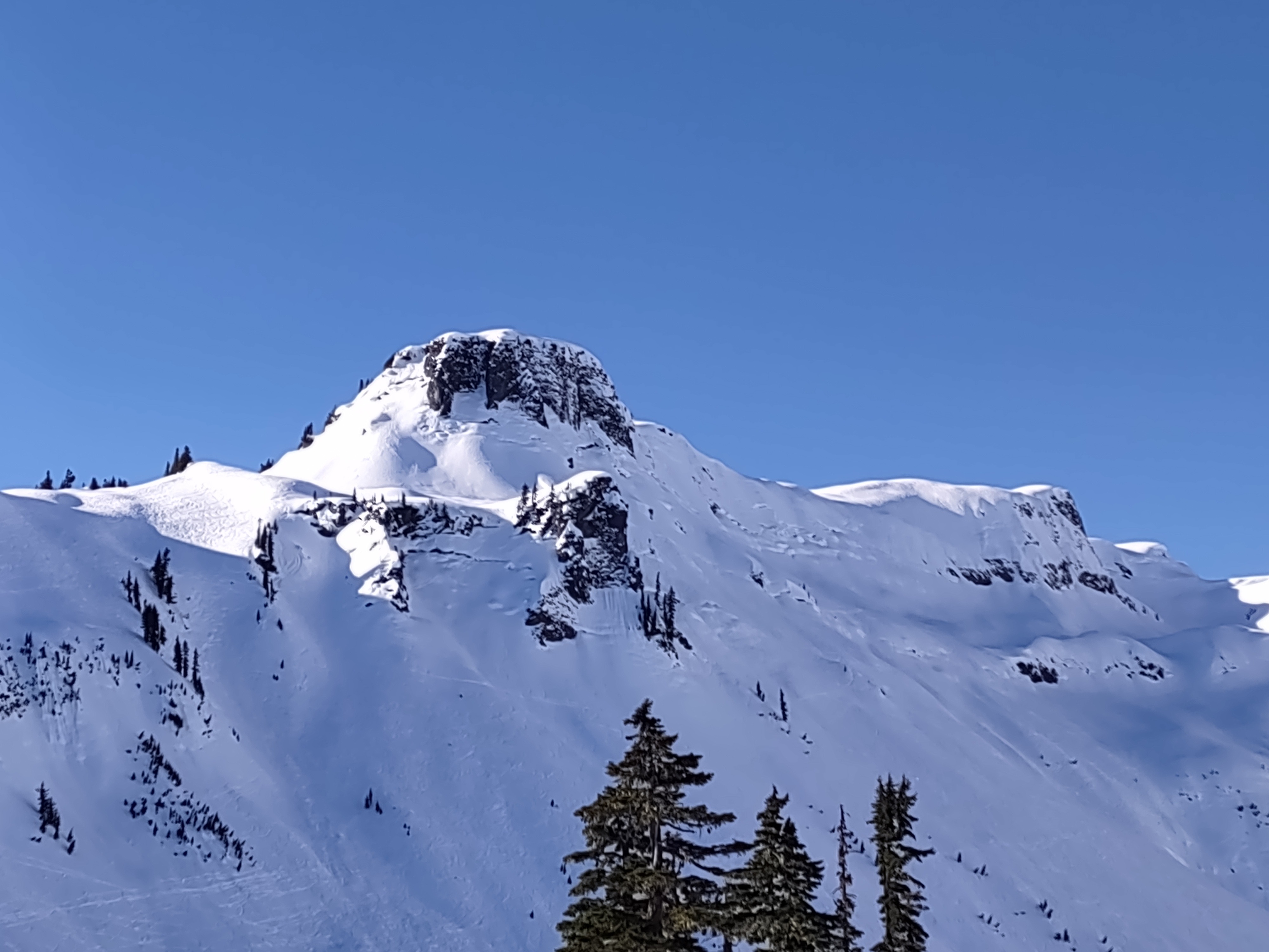
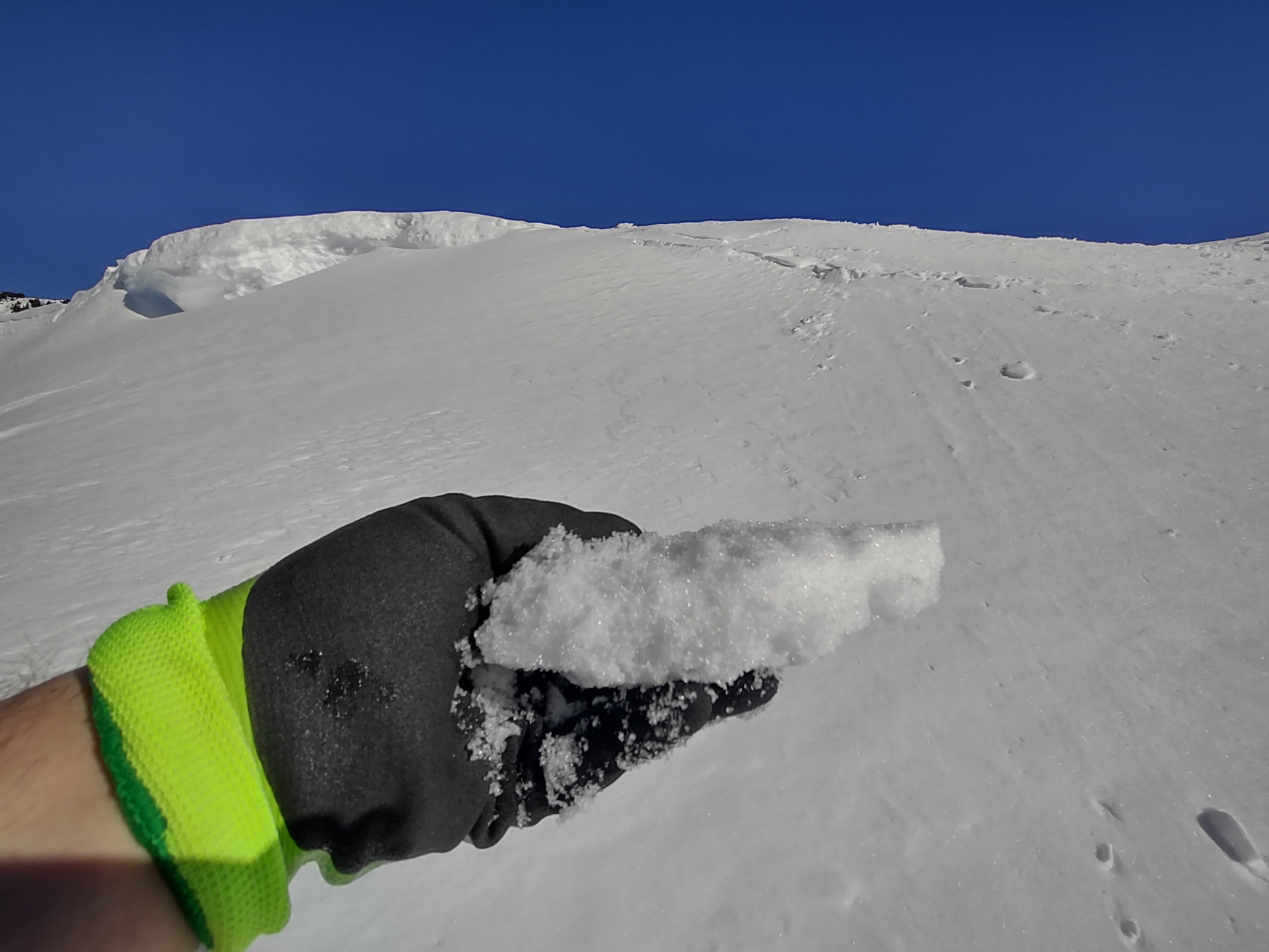
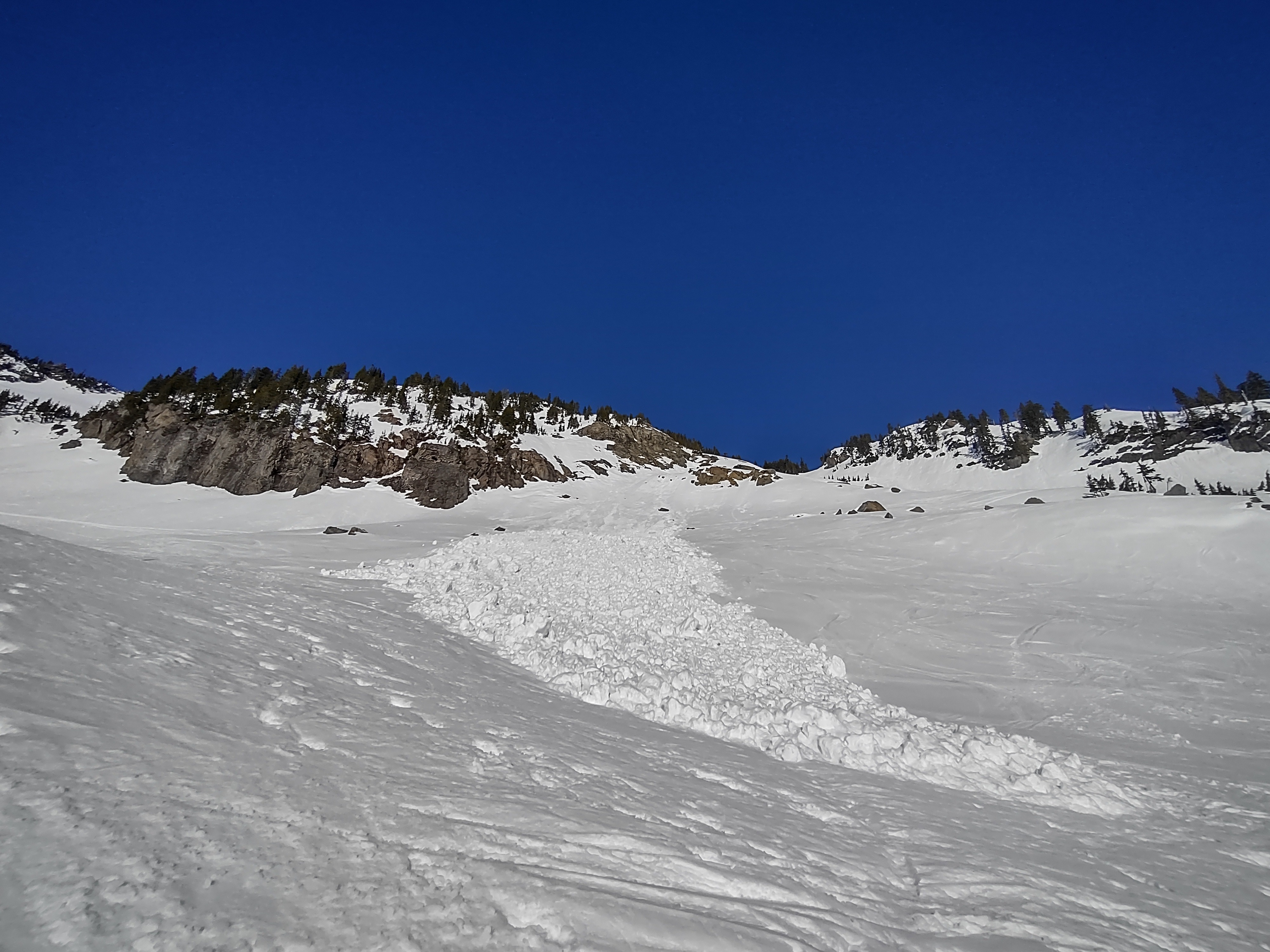
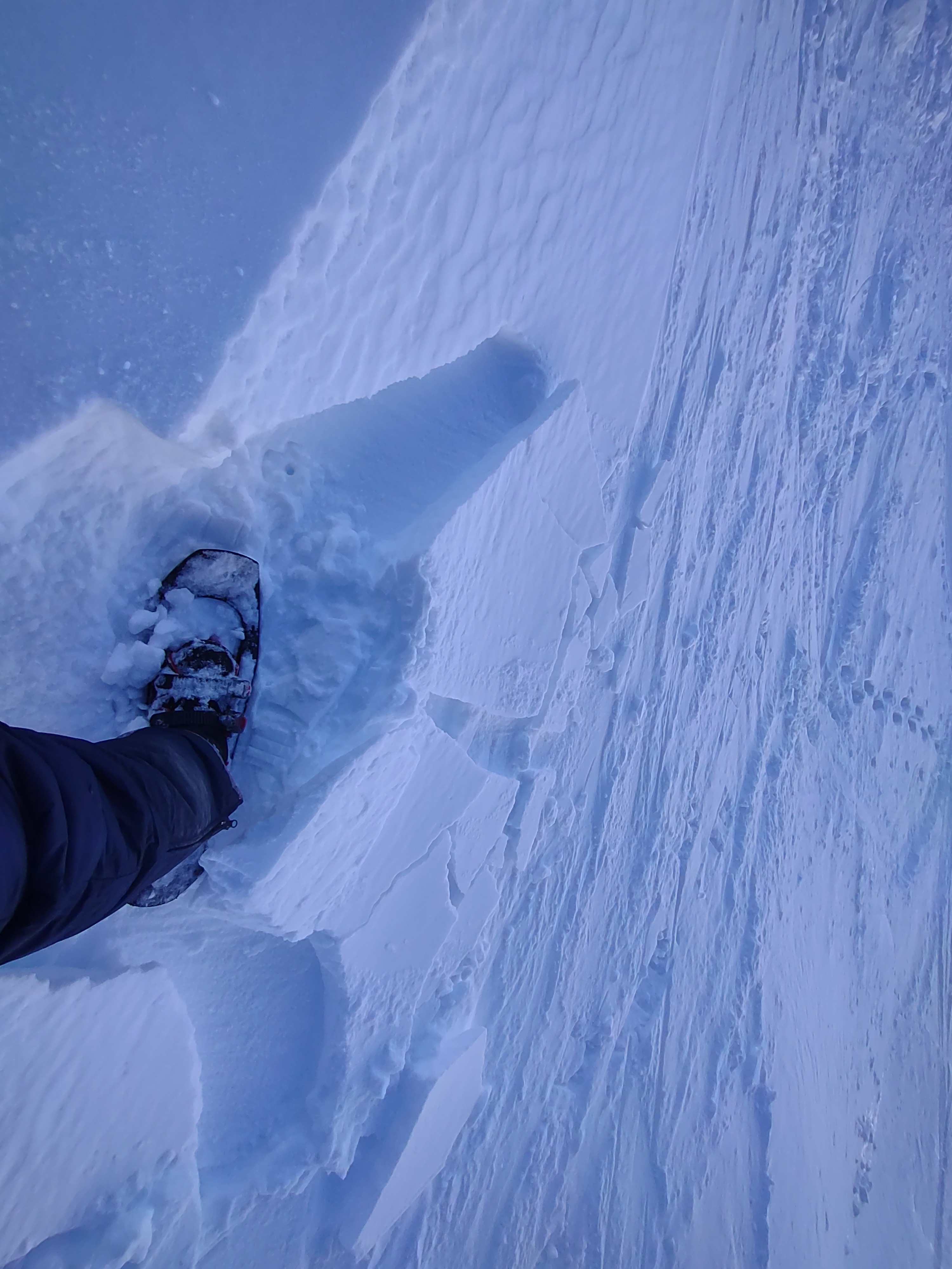
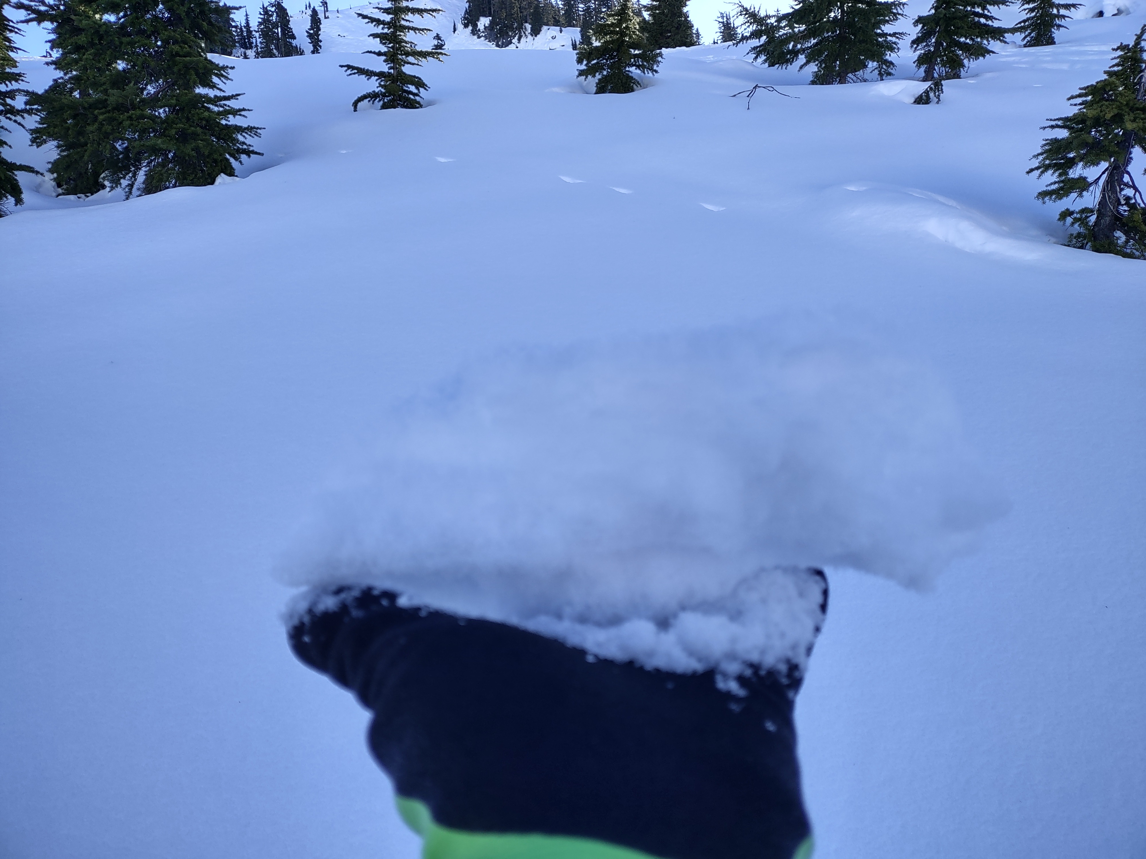
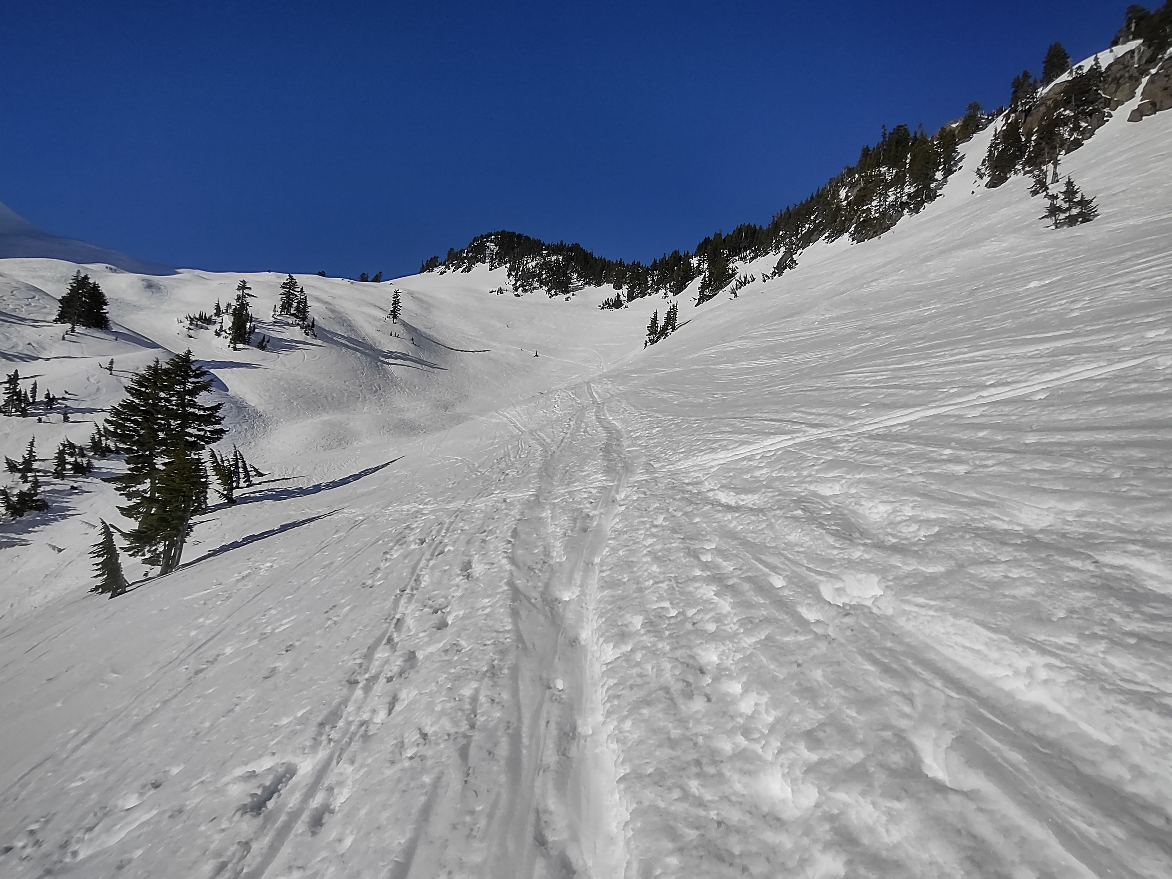
Even though snow conditions are not ideal for most, it's still great to get out and enjoy nice weather in the mountains. Nothing today felt like January in the sun, definitely not the 50 degree high temperature at Heather Meadows. Glide cracks are present on the usual rock slab locations around the Baker Backcountry, and with continued dry and mild weather over the next few days, could unexpectedly fail. We observed a week + old glide avalanche above the Herman boulder field, and some other previous wet avalanches however despite how warm it was today, we did not find any new activity pertaining to this. Surprisingly, it's still possible to find dryer snow out there if you look, and a isolated wind loaded pocket. Glide cracks are developing in the usual spots, even on northerly aspects on Table Mountain. Surprisingly, it's possible you can still find reactive wind drifted snow which lies over faceted snow on shaded W aspects that don't have a crust caping dry snow yet.
Weather
- Air Temp
- 51
- Cloud Cover
- clear
- Wind Loading
- previous
- Snow Avail For Transport
- small smounts
Sunny and clear. Cool in the shade and it was warm in the sun. It felt more like March or April than late January. In the valleys inversions kept temperatures about 20 degrees colder around freezing at 2000 feet even in the afternoon.
Snowpack
As expected, there's a wide variety of surfaces out there. Breakable crust, semi breakable crust...firmer crust that softened into crusty corn on south aspects...and if you look hard enough, it's still possible to find dryer faceted snow reminiscent of powder...and there's lots of tracks after a couple weeks a basically no new snow. I was surprised to encounter a still reactive wind loaded pocket from last week on the west side of the Herman Saddle. In shady areas that still had dry snow, it would have still been possible to trigger a small wind slab today where east and north winds redistributed a few inches of snow over facets and a thin crust last week. While south aspects are in a melt freeze cycle, northerlies are holding onto faceting snow above the 1/10 interface. This will be a concern when new snow finally begins to fall at the end of the week.