
Quick report
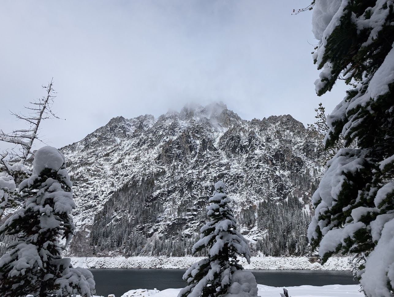
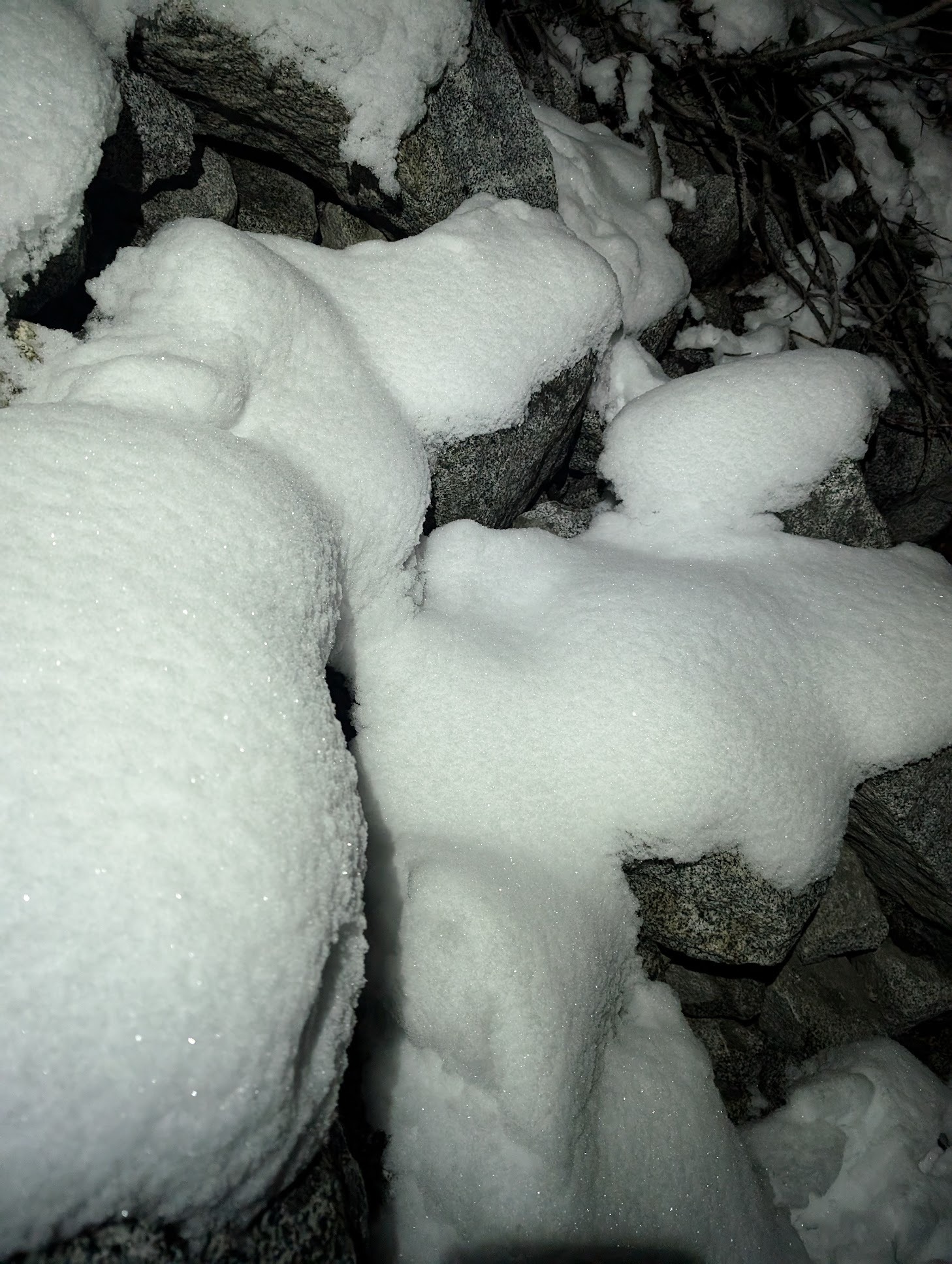
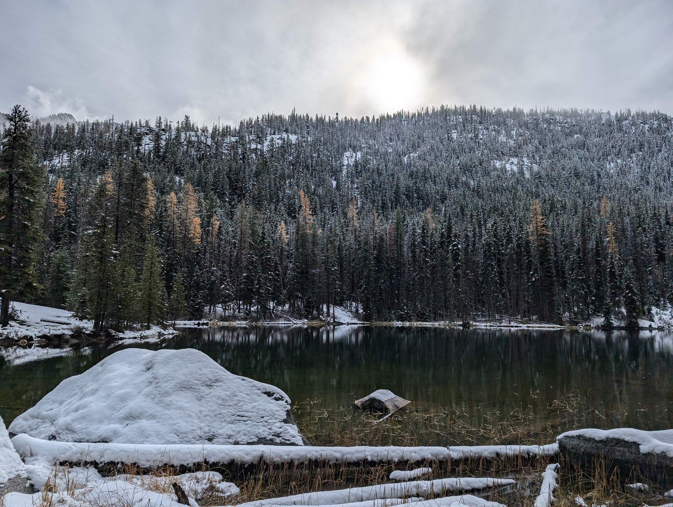
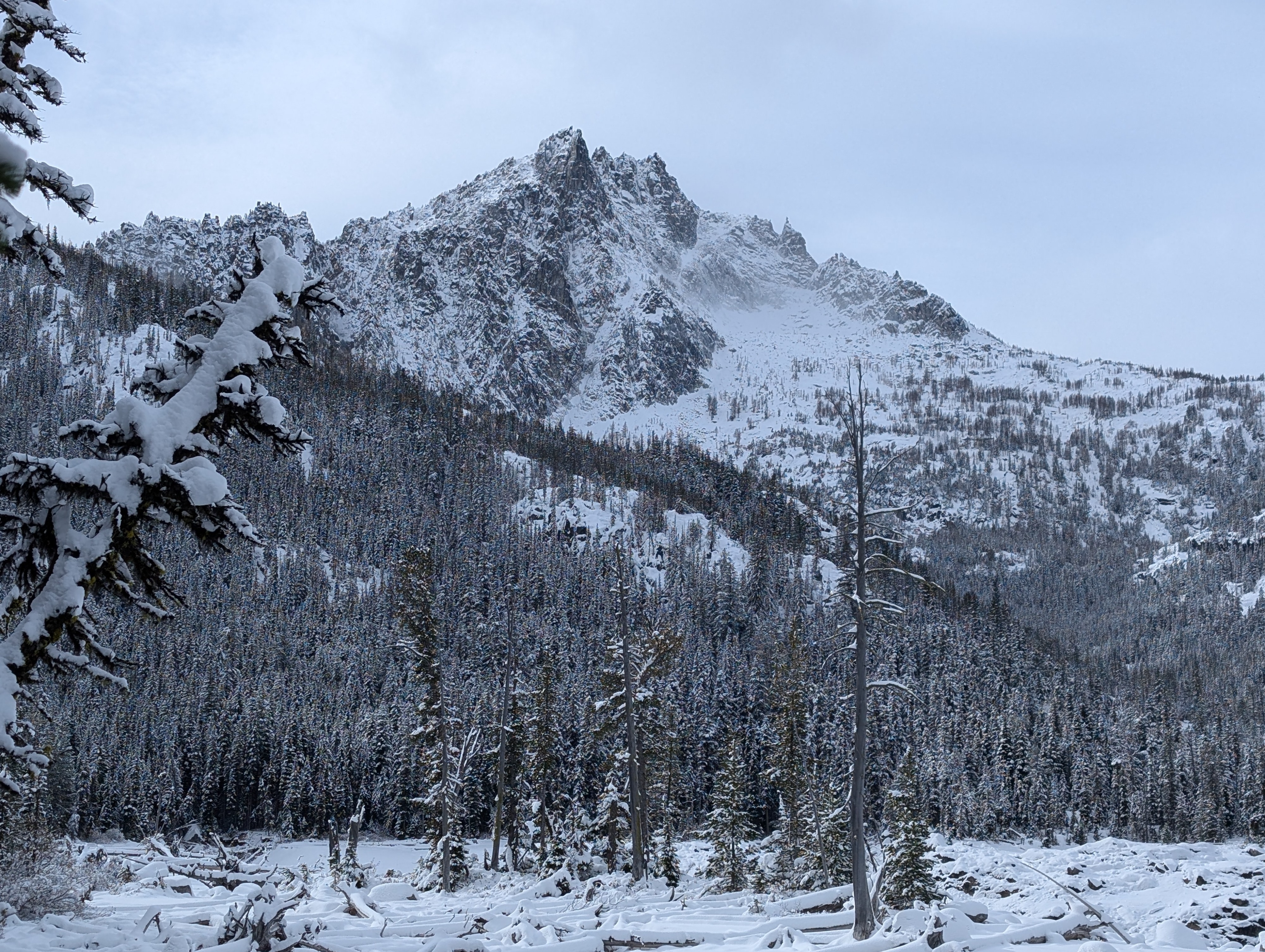
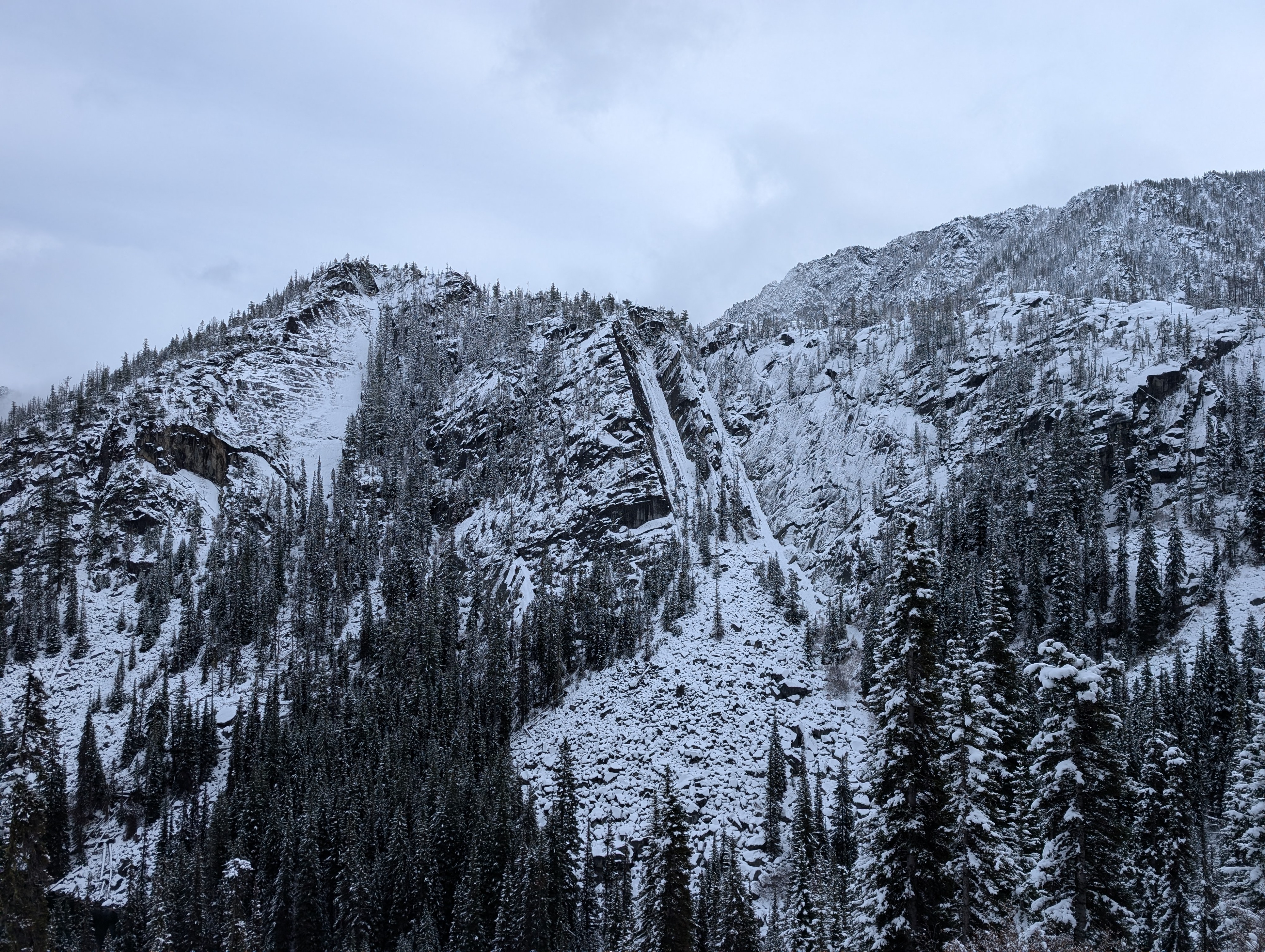
Winter has come to the Stuart Range! With the caveat that right now conditions in the Enchantments are sub-optimal for hiking (upper BTL, NTL, ATL), climbing (ATL, NTL), and skiing (BTL, NTL). The 31 Oct - 1 November storm fell (HST 35 cm) on top of existing snow from late October (HS 50-60cm) near and above treeline, with strong outflow winds. The limited early-season snowpack means that surfaces are either bare or wind loaded. The primary avalanche concerns right now are wind slab above 5500' and wet loose in the rain-snow transition line (3000-4000' depending where in the Range). Exposure to very large slopes that could run far (e.g. the Temple, Dragontail, Colchuck, Stuart) is one concern, but the more prominent concern is wind-loading on slabby terrain that is otherwise hikeable in the summer. Under current conditions, the patina of ice, snow, slush makes travel on these summer, non-technical sections far more technical, which led to a rescue on 2 November. For example, even a small broken wind slab could lead to a slide for life on icy, convex rock slabs. Summer hiking season is meteorologically over, and travel in current conditions should be considered winter travel as it requires gear to navigate snow and ice, as well as perform companion rescue in the event of an avalanche. Winds were strong, with intense wind loading of recent storm snow above treeline. Slabs were 30-100+cm, on the lee side of boulders, slabs, and sheltered areas, obscuring the summer trail, and requiring route-finding and navigation. These slabs propagated cleanly in hand shears from 5800' to 6800'. Upon exit, surface hoar and near surface facets were developing overnight 2-3 November from Nada Lake upward to the NTL, and will likely be buried under Monday's incoming storm. A good refreeze in the upper BTL turned slush to ice and wet snow to a firm base with sparkling facets. No signs of instability were observed under foot, although recent, small, natural avalanches (NTL) and intense wind transport (NTL-ATL) were seen throughout the day.
Weather
- Air Temp
- 18
- Cloud Cover
- overcast
- Wind Loading
- moderate
- Rain Elevation
- 3000'
- Recent Snowfall
- 50cm
- Snow Avail For Transport
- large amounts
3000' - Clear, light gusts 32 F (1030), limited snow for transport 5500' - light winds, gusting to Moderate/Strong, light to moderate transport 25 F (1200), moderate to large amounts of snow available for transport 6800' - Strong winds, Intense transport, 18-20 F (1500), large amounts of snow available for transport blowing to ground surface or ice.
Snowpack
3000' - HS 0-10cm based on tree cover 4000' - HS 6-20 cm based on tree cover; warming during the day with a refreeze and surface hoar and facets on snow surface overnight 5000' - HS 25-45 cm; surface hoar and facets on snow surface overnight 6000' - HS 40-60cm; stiff wind drifts to 35 cm over existing snowpack. 6800' - HS 50-70cm on average, with wind scoured areas and large wind slabs to 100cm. Above Treeline observed from afar: intense transport on the Temple and McClellan above 6500'
Avalanche
- Size
- D1 R1
- Type
- L
- Aspect
- N
- Trigger
- N
- Elevation
- 5600 ft
Small wet and dry loose on very steep slabs