
Quick report
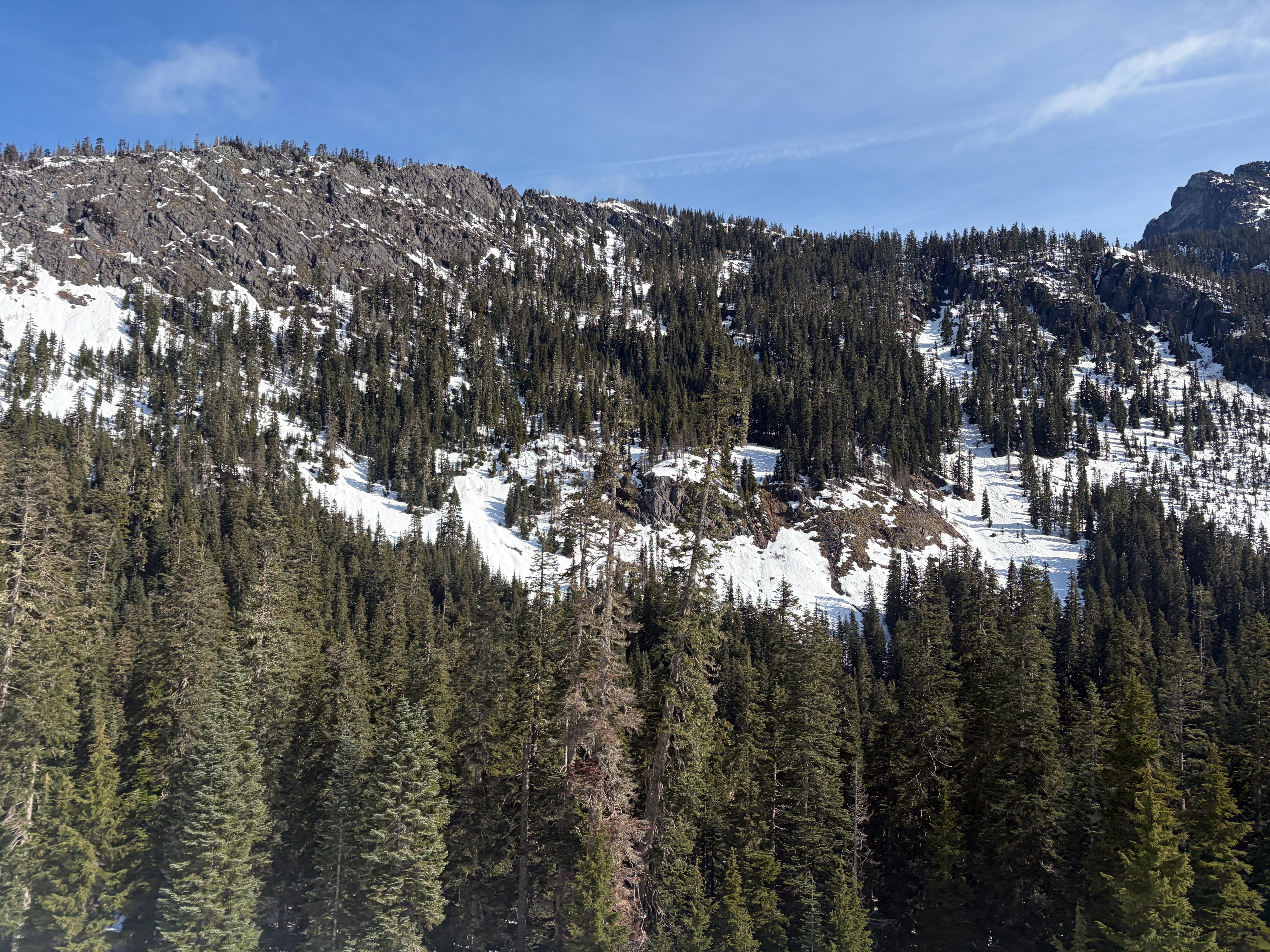
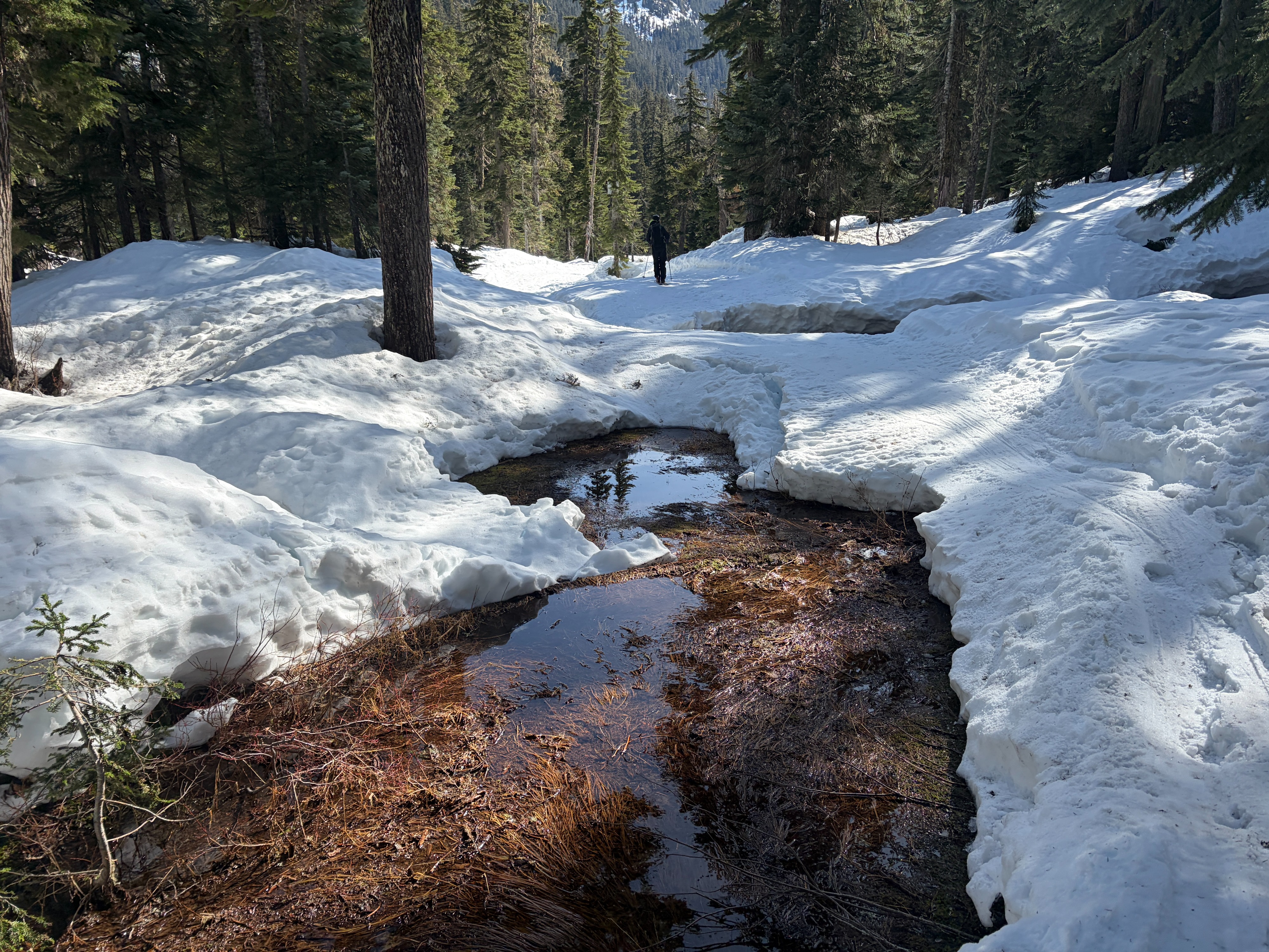
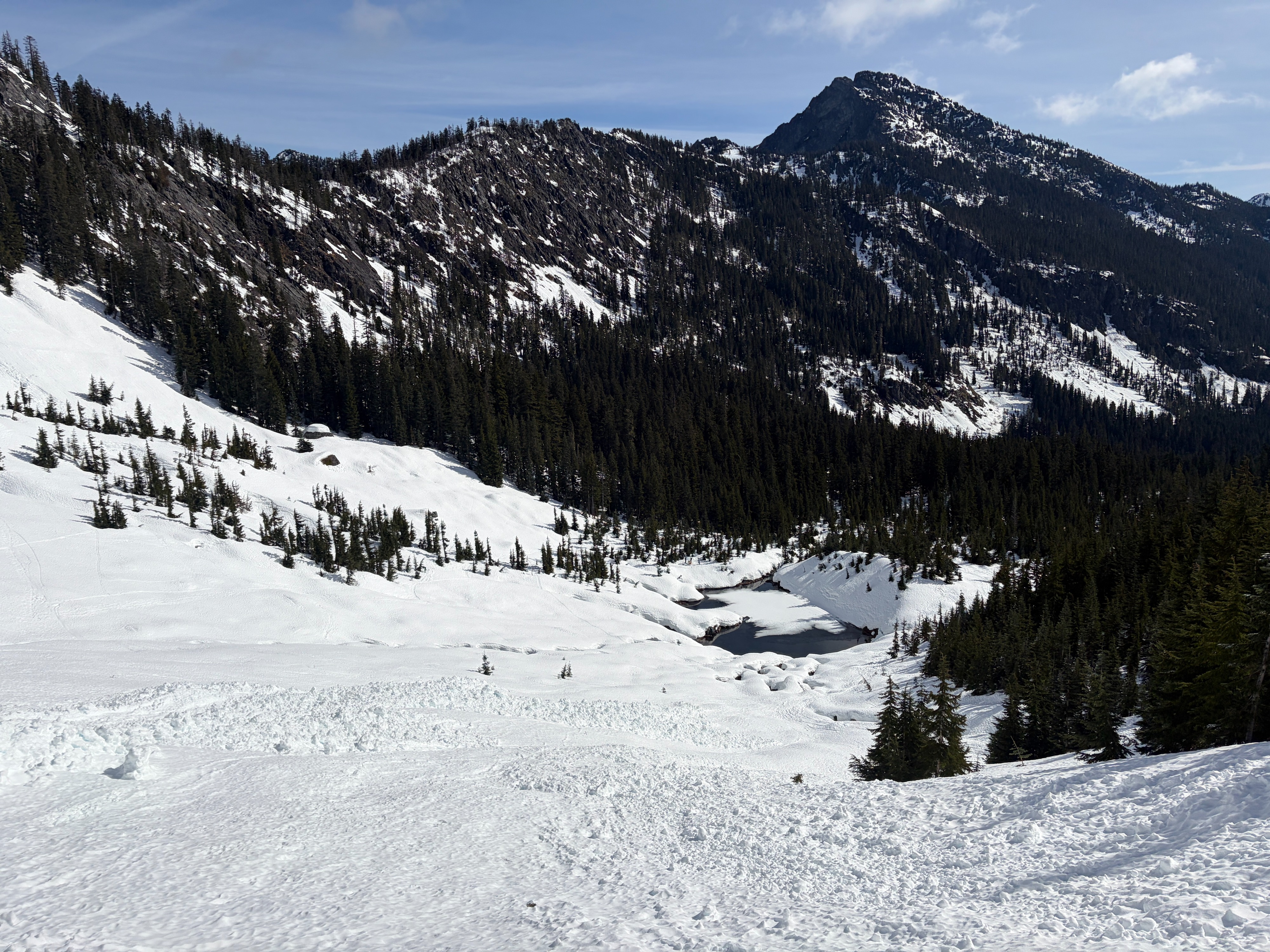
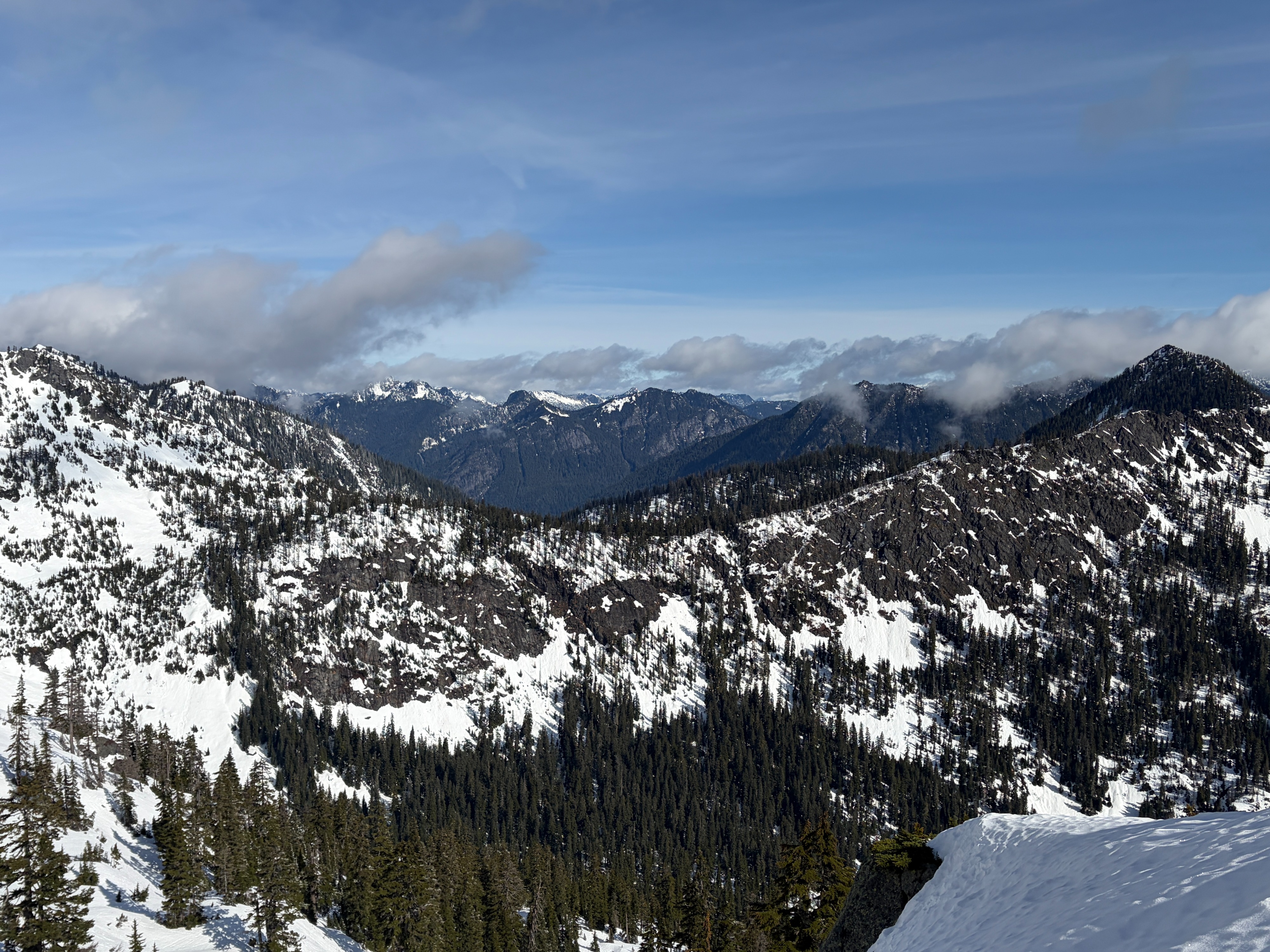
I took a trip to Alpental today to assess the deeper snowpack and look for any lingering wet instability. The plan changed quickly when I pulled into the parking lot and noted the lack of snow (in places I wanted to dig) and the hard overnight refreeze. I opted for an Alpental Valley tour with a professional partner from Alpental's forecasting team. There's no easy way to say it, the rain and warm temperatures have dramatically reduced the recent snow coverage. Coverage now resembles what it was before the large mid-march storm cycle.
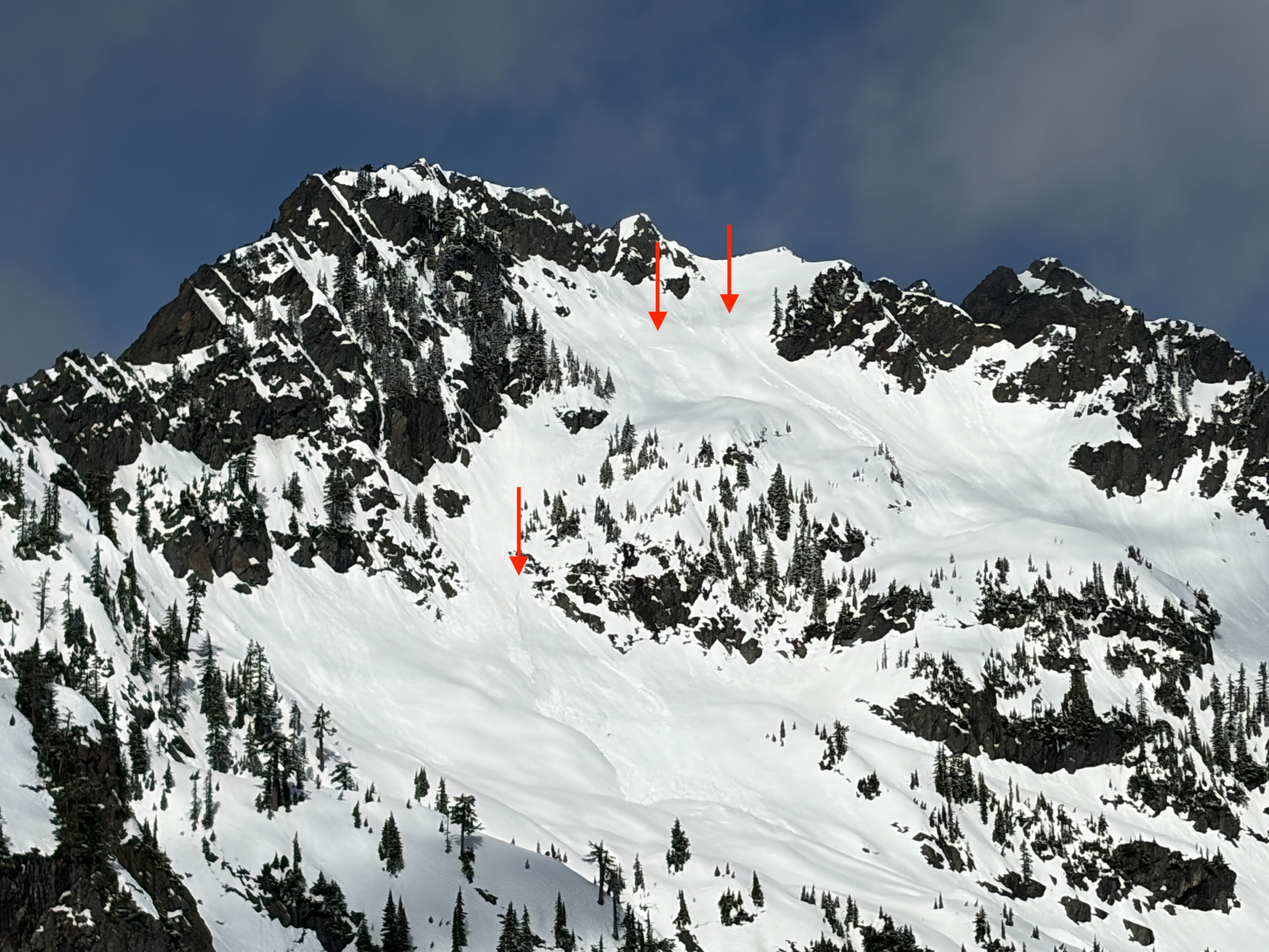
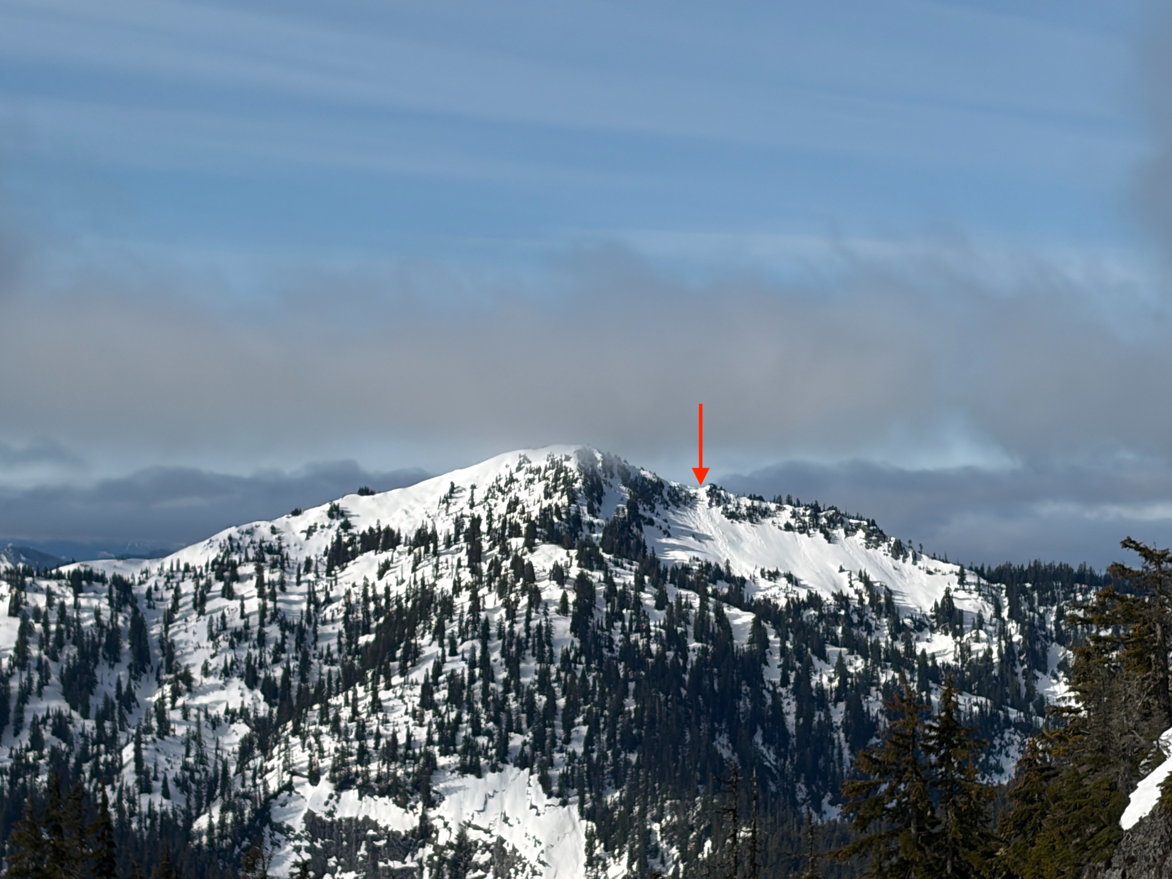
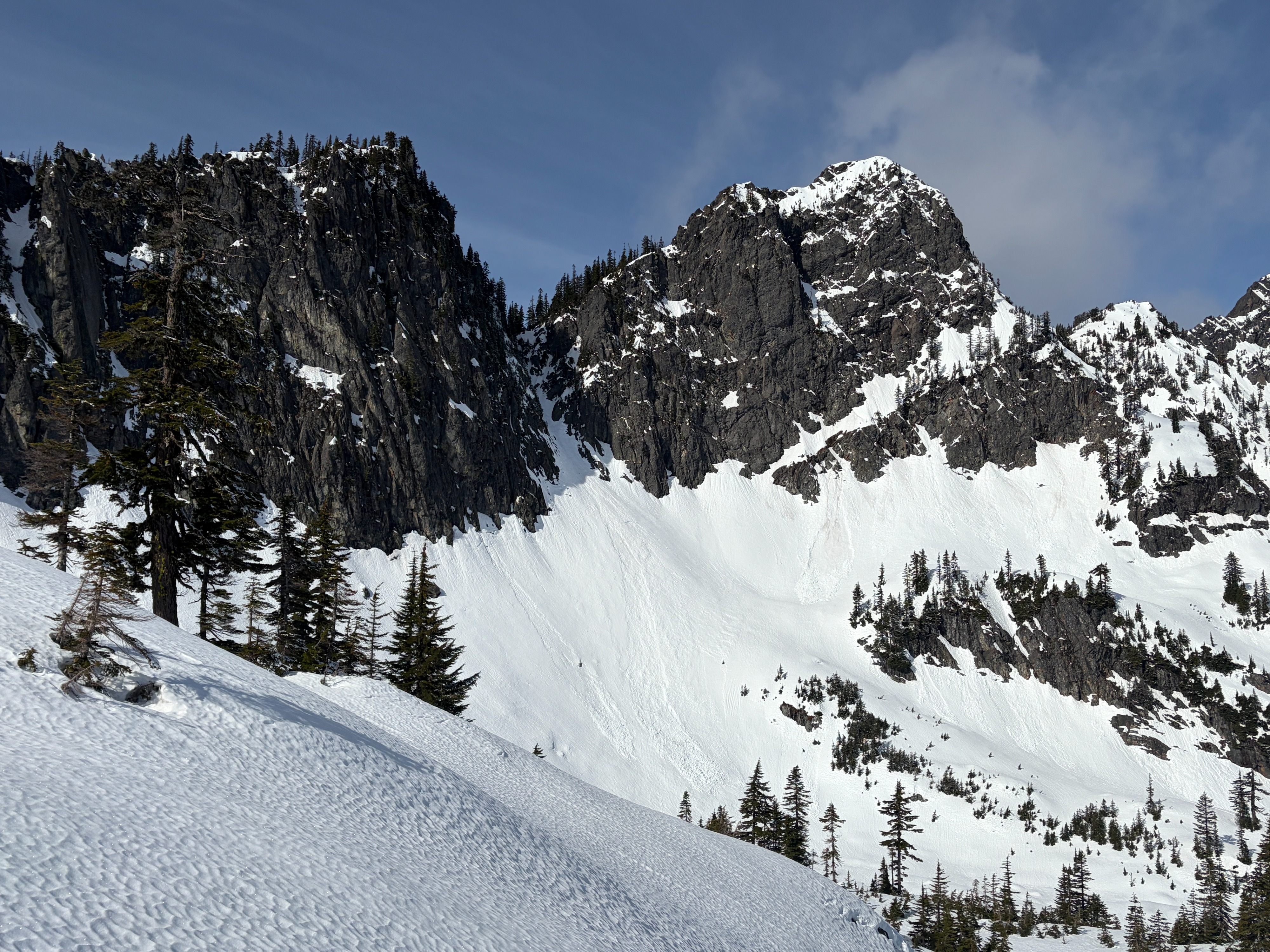
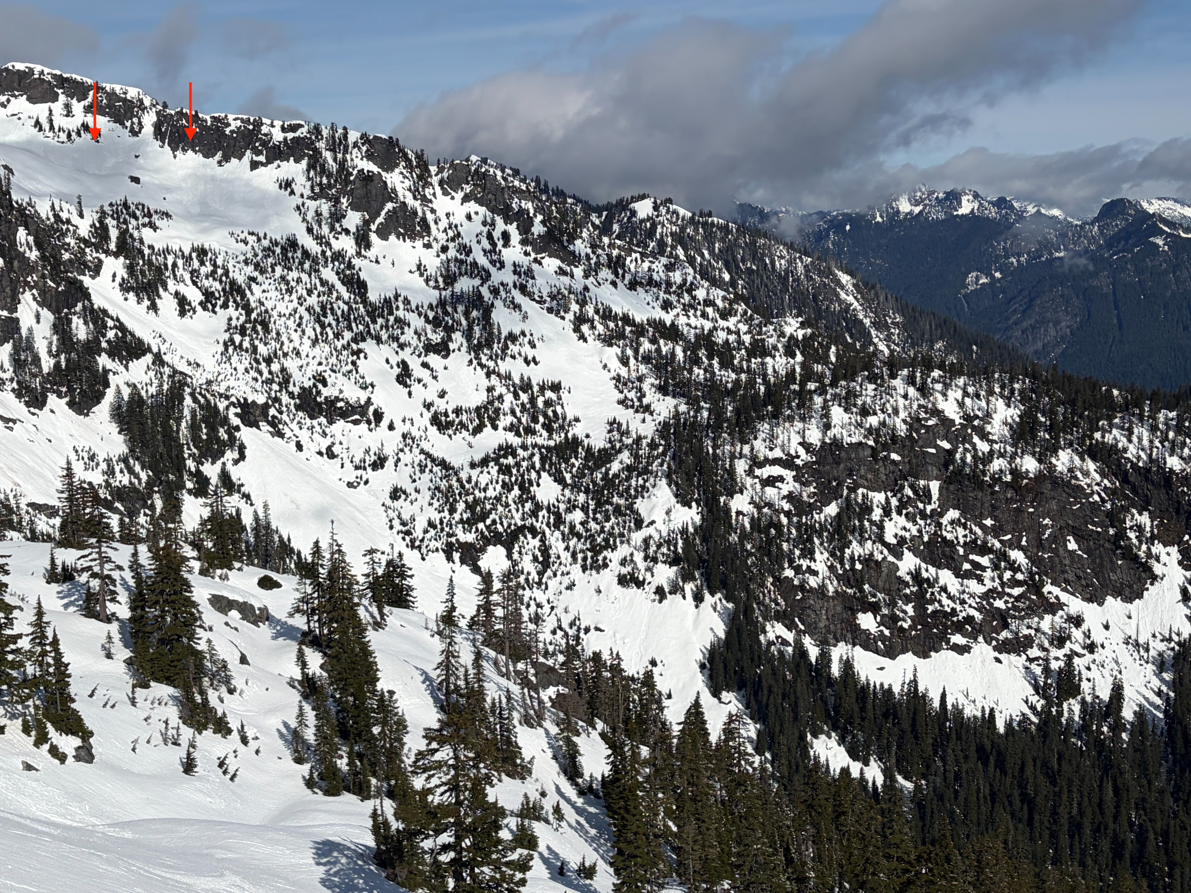
The firm and supportable surfaces made it feel very unlikely to trigger an avalanche today. We were mostly worried about losing our edge and taking a slide. We did find evidence of large, wet slab and wet loose avalanche activity throughout the zone, but everything appeared at least a few days old.
Weather
- Air Temp
- 25-42
- Cloud Cover
- broken
- Wind Loading
- none
- Recent Snowfall
- 0
- Snow Avail For Transport
- small smounts
Spring-like weather, with below-freezing temperatures to start the morning. Temperatures climbed quickly above freezing by noon. Skies were mostly sunny, with high clouds passing.
Snowpack
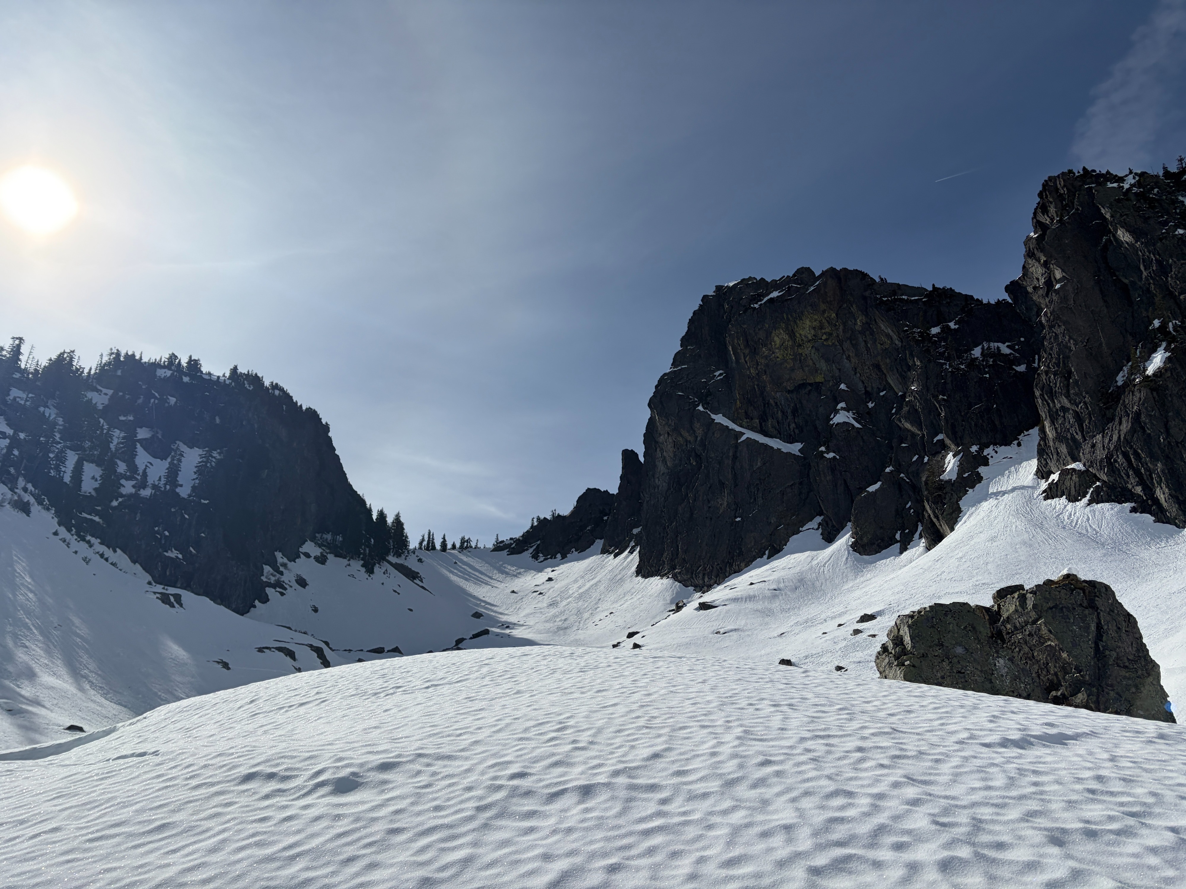
The snowpack stayed mostly locked up, with a solid and supportable surface crust everywhere I looked. As the day warmed, the sunny slopes softened, but only superficially. Shady slopes stayed cold and solid. A light dusting of snow (~1") was found in very protected, northerly aspects near Source Lake.