
Quick report
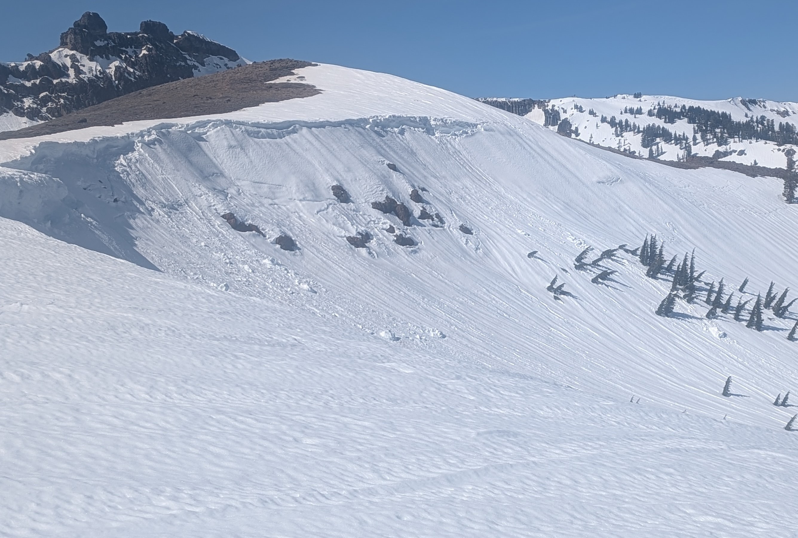
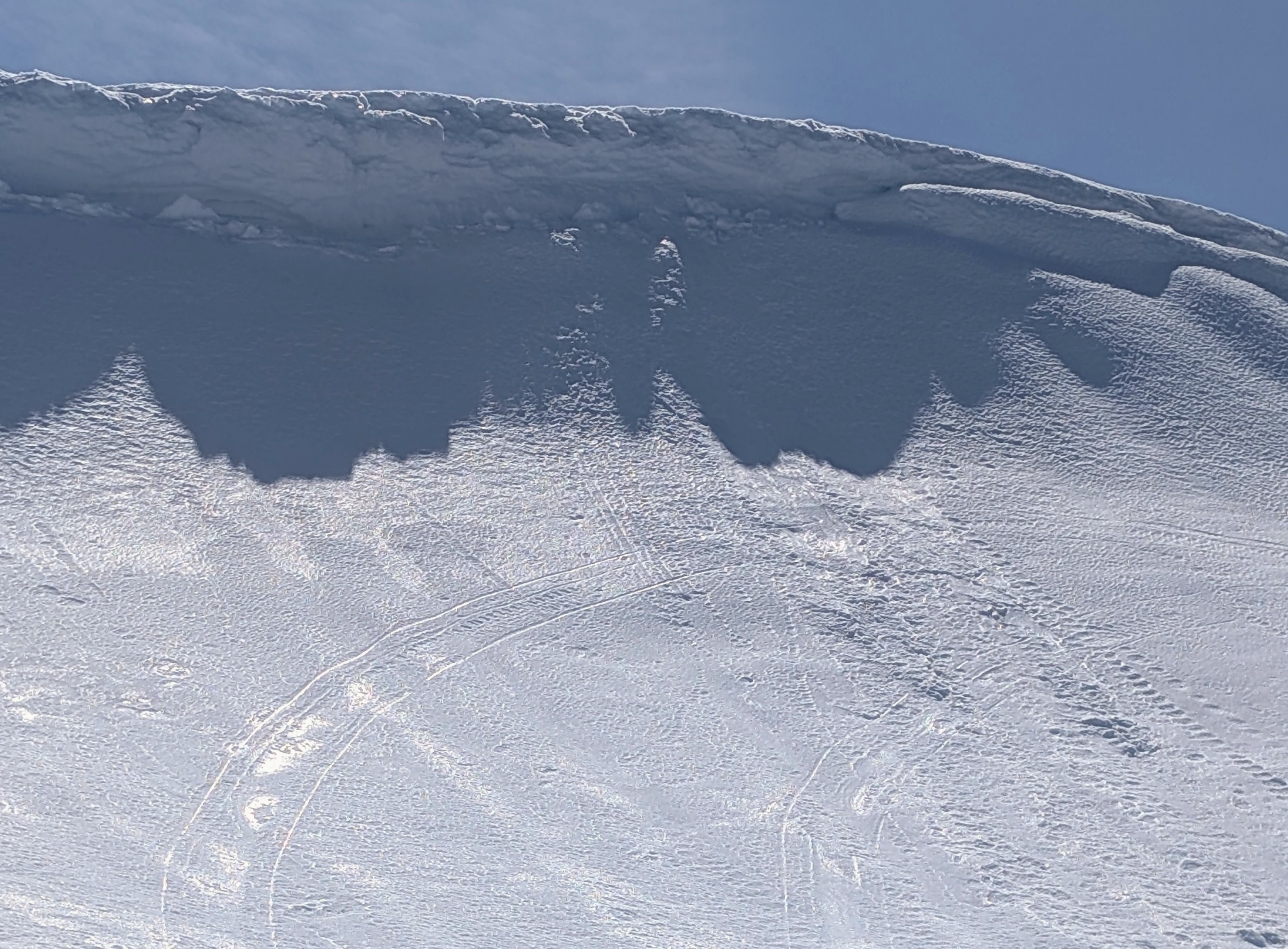
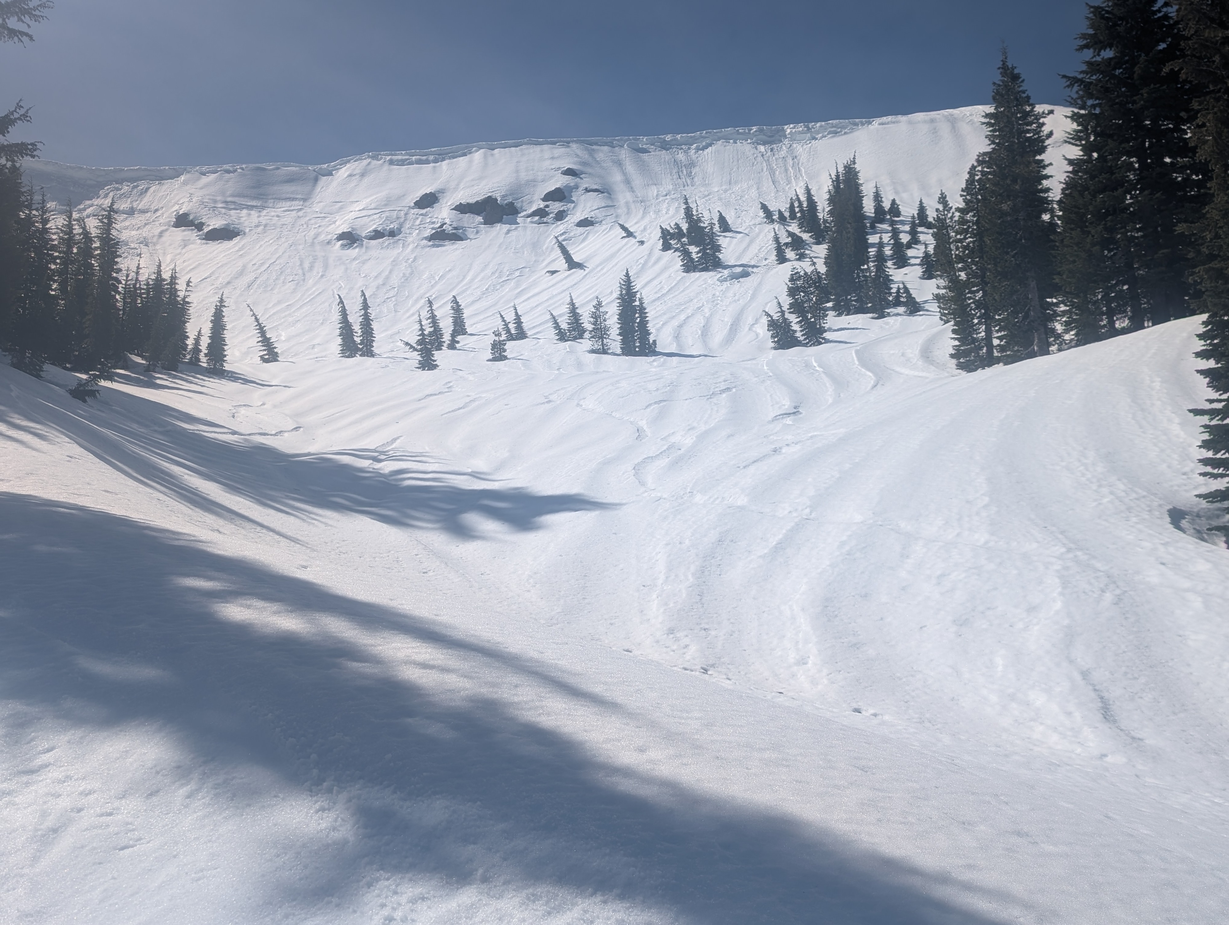
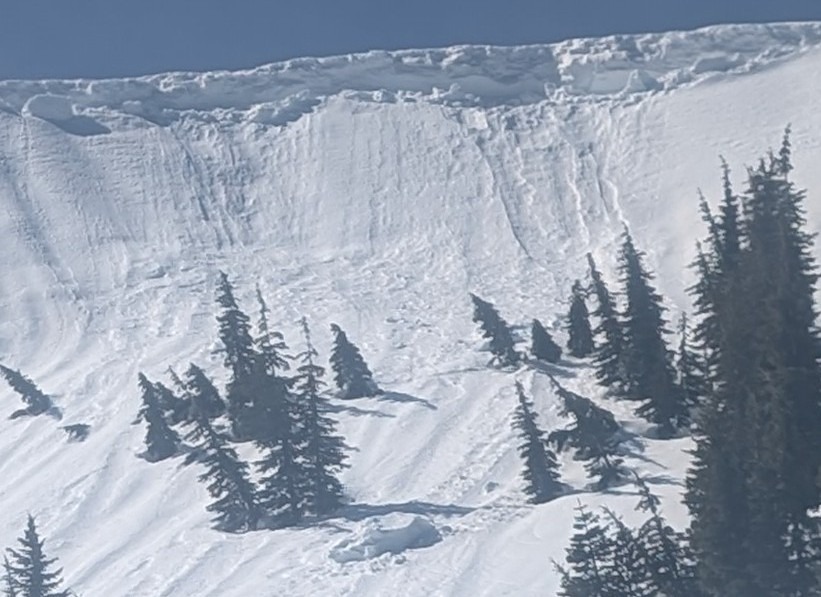
This excursion was intended to acquaint myself and my more experienced backcountry skiing friend with terrain along routes to Frog Lake. We noticed cornice collapse on the north rim of the ridge west of Frog Lake Pass. One large block appears to have slid about 120 feet down the slope. Debris slides were evident, with some covering recent snowmobile tracks. Skies were clear, 50-60F, light breeze. We skied cautiously with some testing of our uphill traversing ability. Our trip began at the SnoPark near Boreal, where a Nevada County Sheriff checked that we had a SnoPark pass and OK'd our plan. We traveled up the Castle Peak Nordic trail, diverted northeast to ford the creek, then traversed up to the broad east shoulder of Castle Peak. We booted across dirt once. Several skiers had recently laid down turns on the south slopes below the east shoulder. Thereafter traveling further north, we saw no ski tracks or people. Snow coverage became very thin on the approach to Frog Lake Pass. After dropping into the gully to the north, the cornice-topped ridge at Frog Lake Pass came into full view. North-facing slopes in the upper gully were wavy - perhaps runnels? We skied further down the gully to the base of Perry's Peak and traversed back up via Frog Lake Notch and the undulating ridge west of Frog Lake Cliff. On the return down Castle Peak we took a more direct route that set us up for a pleasant creek crossing over a log to return back out the Nordic Trail. The 9.5 miles of travel and stops took us about 6.5 hours. Overall, the snow was consistently stable along the entire trip route.