
Quick report
- Cracking
- specific
Weather
- Air Temp
- 32
- Cloud Cover
- obscured
- Wind Loading
- moderate
- Rain Elevation
- 4000 ft
- Recent Snowfall
- 7-9 cm
- Snow Avail For Transport
- moderate amounts
The morning started breezy with light snow showers and warming temperatures. These warmer temperatures made snow surfaces moist and sticky below 6000 ft. SW winds were blowing in the strong range above 6000 ft.
Snowpack
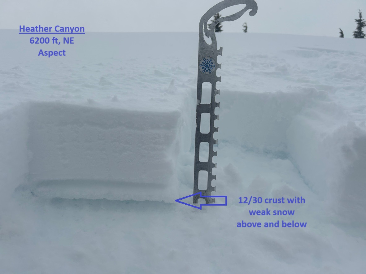
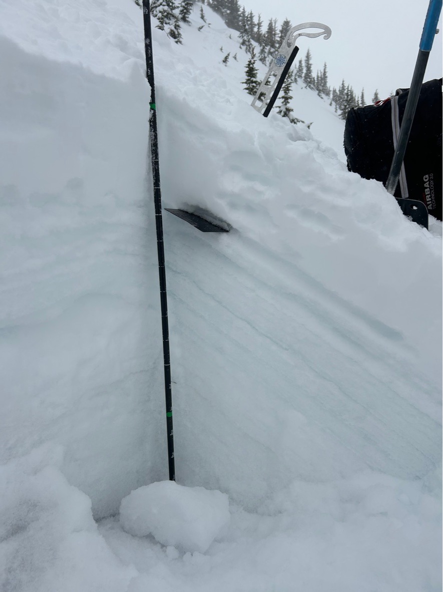
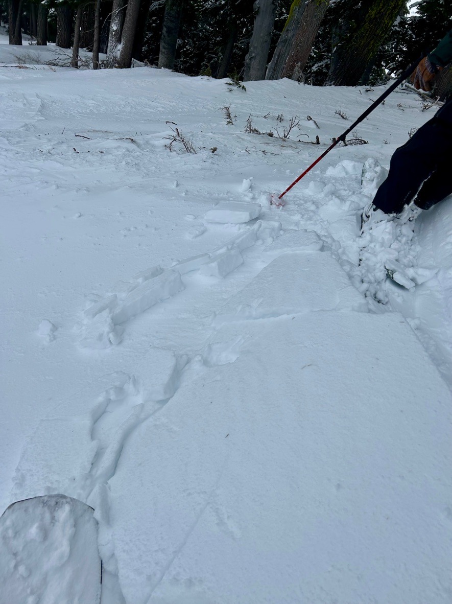
We observed dense, reactive wind slabs (1F hard) in upper heather canyon. Ski cuts across test slopes produced numerous shooting cracks and released a couple small slabs. Wind drifted snow ranged from 10-15 inches deep. These dense slabs were sitting on a softer layer of 4F hard snow resting on a relatively thin (1 cm thick) crust from 12/30. In a profile on a NE aspect @ 6200 ft, we did find some weaker grains above, but especially below this 12/30 crust. Shovel tilt tests produced planar results on this weak snow below the crust. The mid and lower snowpack is strong, consisting of alternating thick crusts from the early December atmosheric rivers.
Except wind drifted slopes, we don't have enough of a slab resting on this structure to be a problem yet. However, this structure will certainly be tested in the upcoming days as we start building a cohesive slab on this setup.