
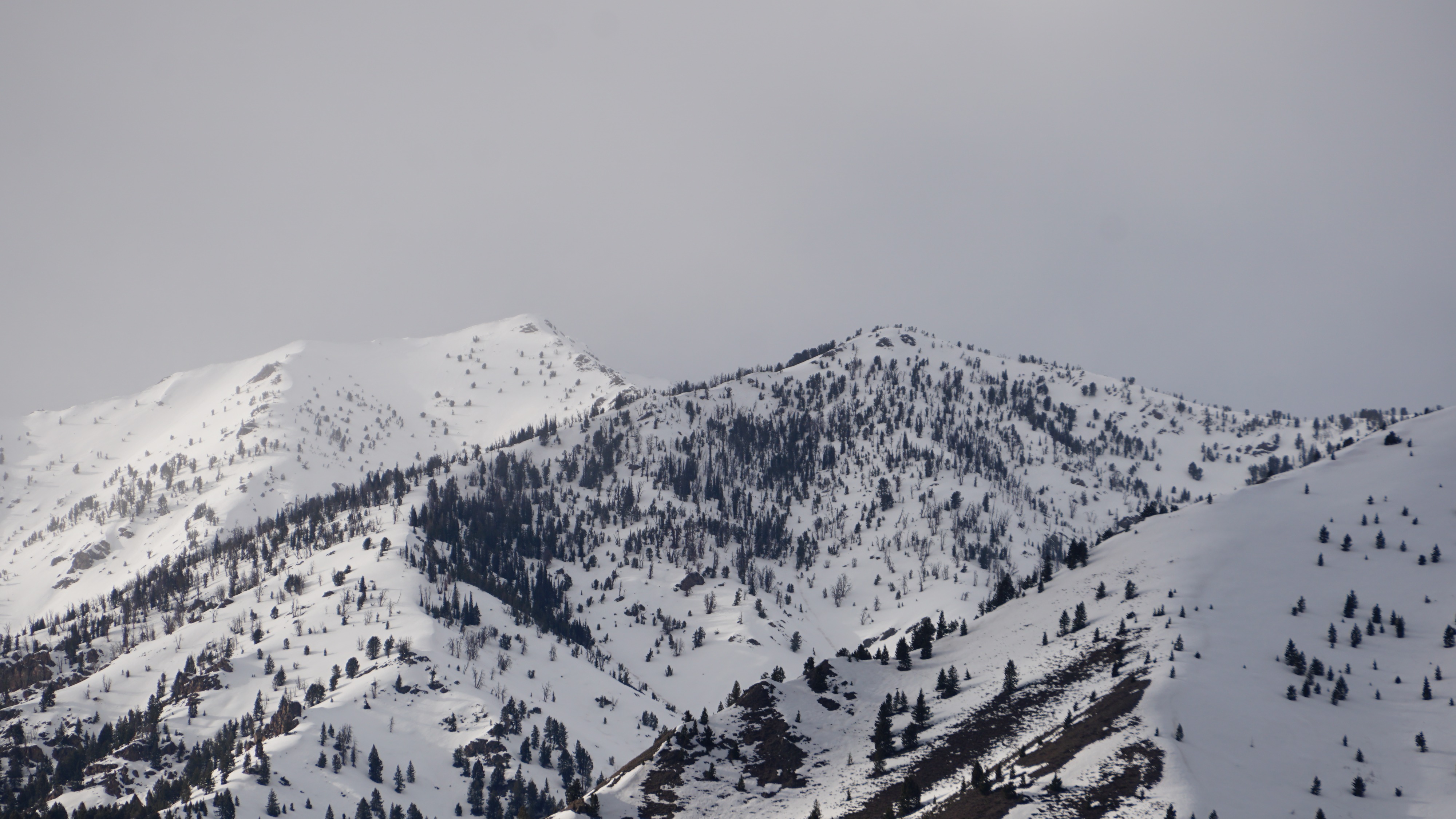
Quick report
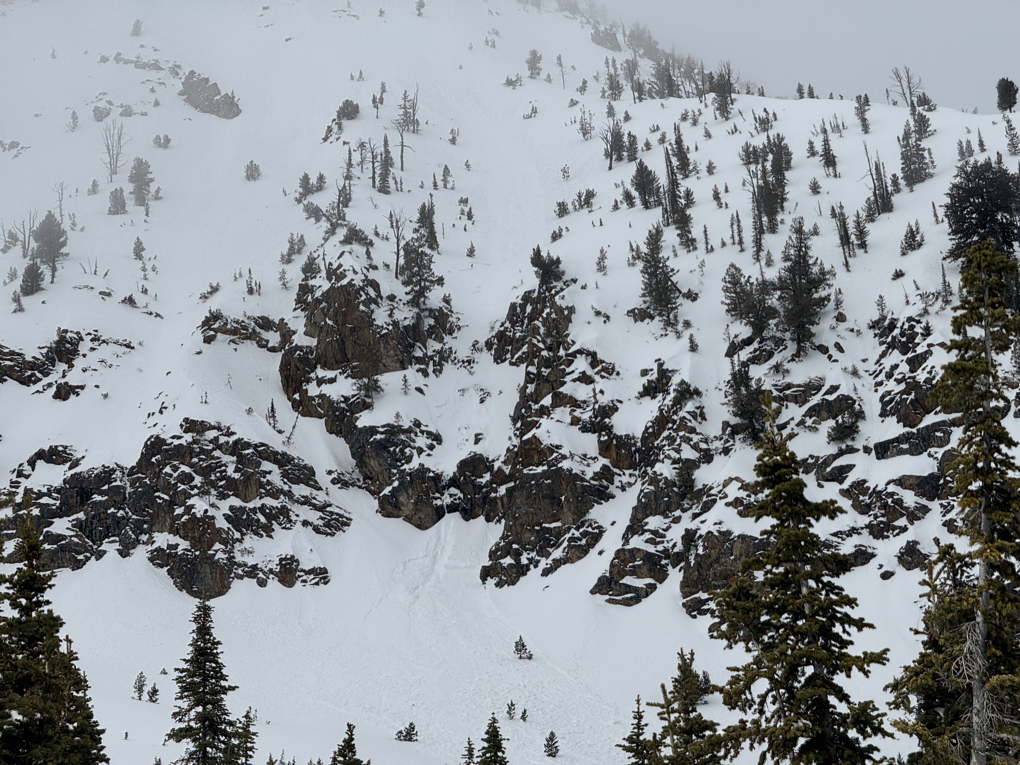
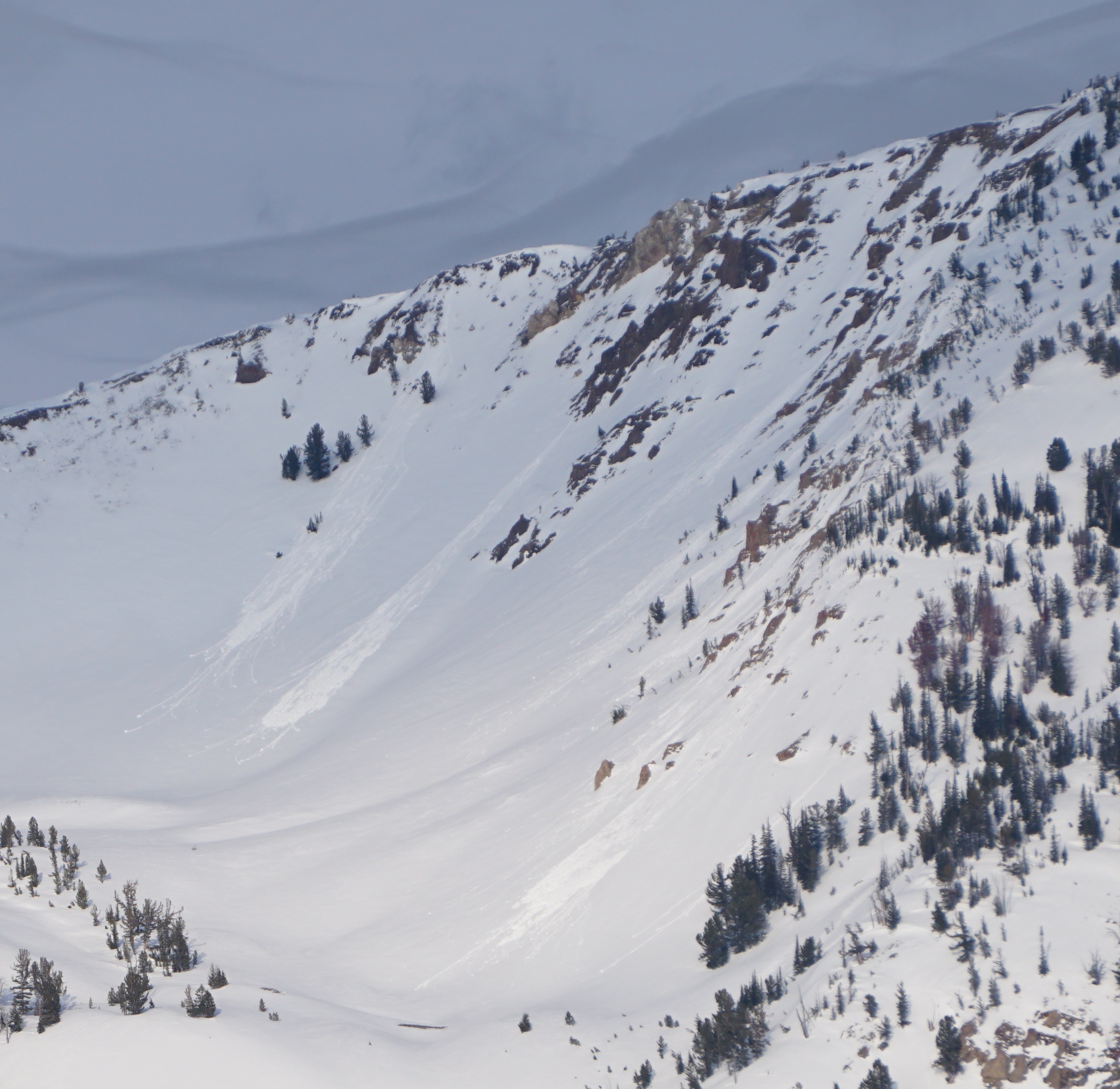
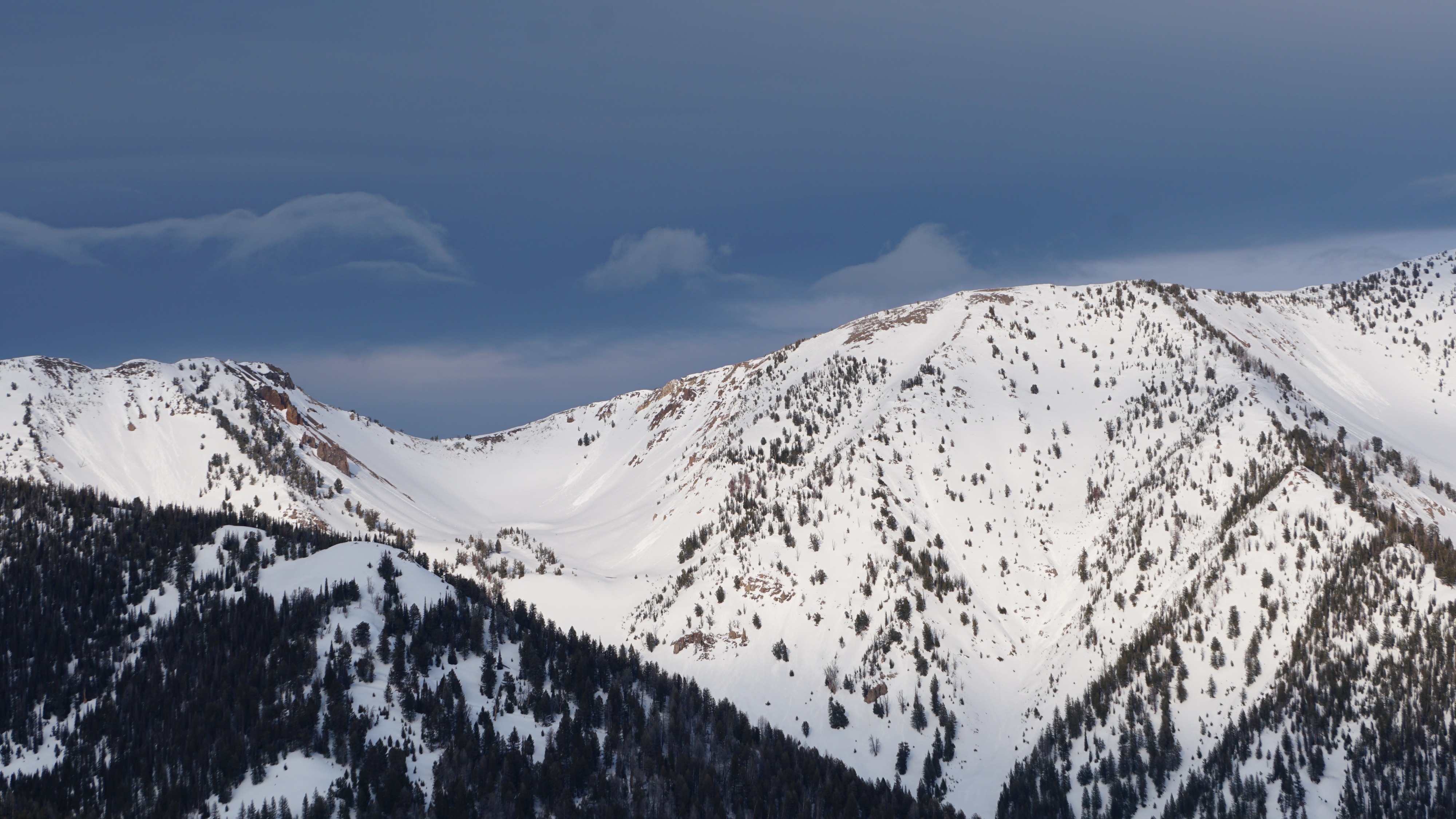
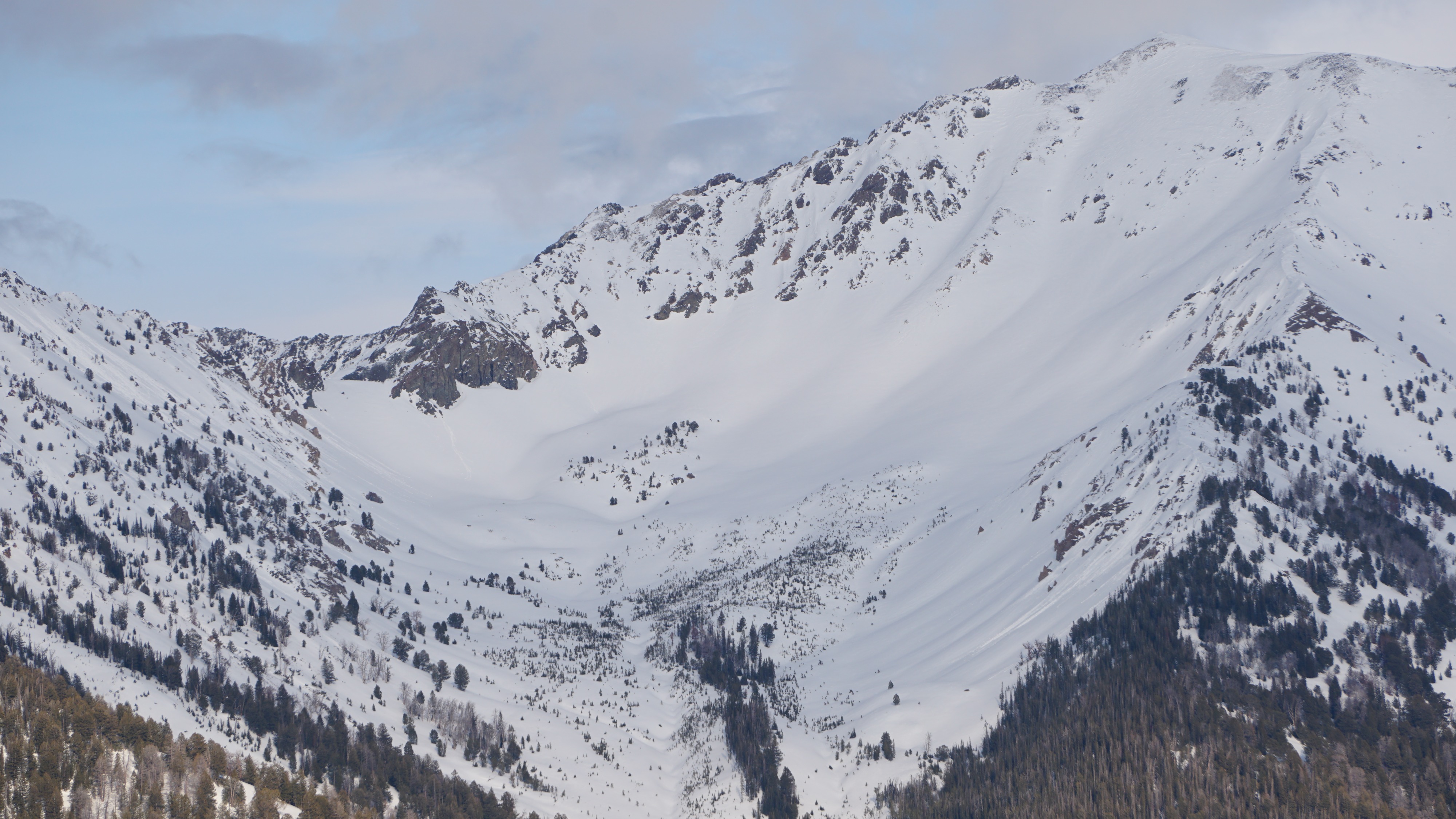
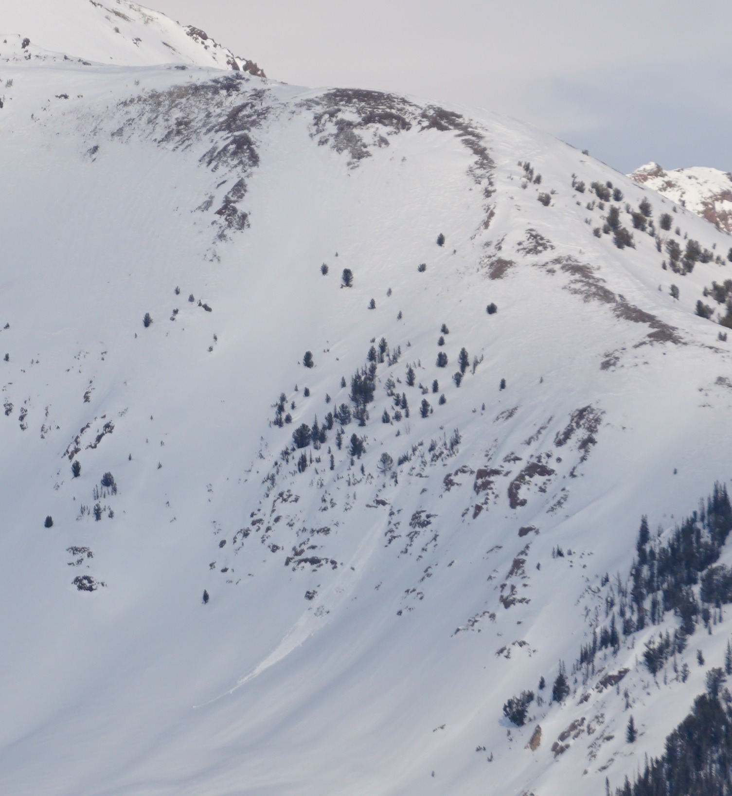
Observed natural wet loose avalanche activity (with the exception of the Sawtooth Mtns avalanche photo submitted to us) was limited to very steep, NW-W-SW aspects that were sheltered from today's wind and had soft snow at the surface. Rollerballs on upper and middle elevation slopes (most aspects, including due N) indicated that today's muted sunshine and low level clouds moistened or wetted the surface snow on many (most?) slopes, including shady upper elevation terrain.
Cracking and collapsing are N/A, roadside observations only.Weather
- Air Temp
- 40s
- Cloud Cover
- broken
- Wind Loading
- light
- Rain Elevation
- N/A
- Recent Snowfall
- 0
- Snow Avail For Transport
- small smounts
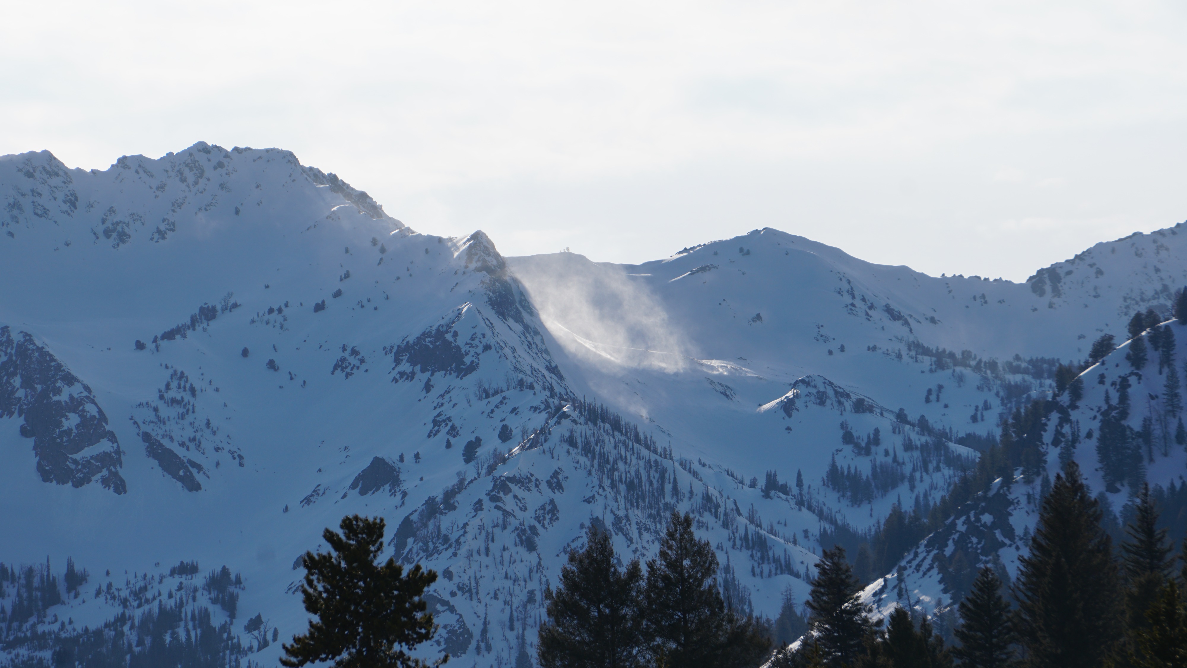
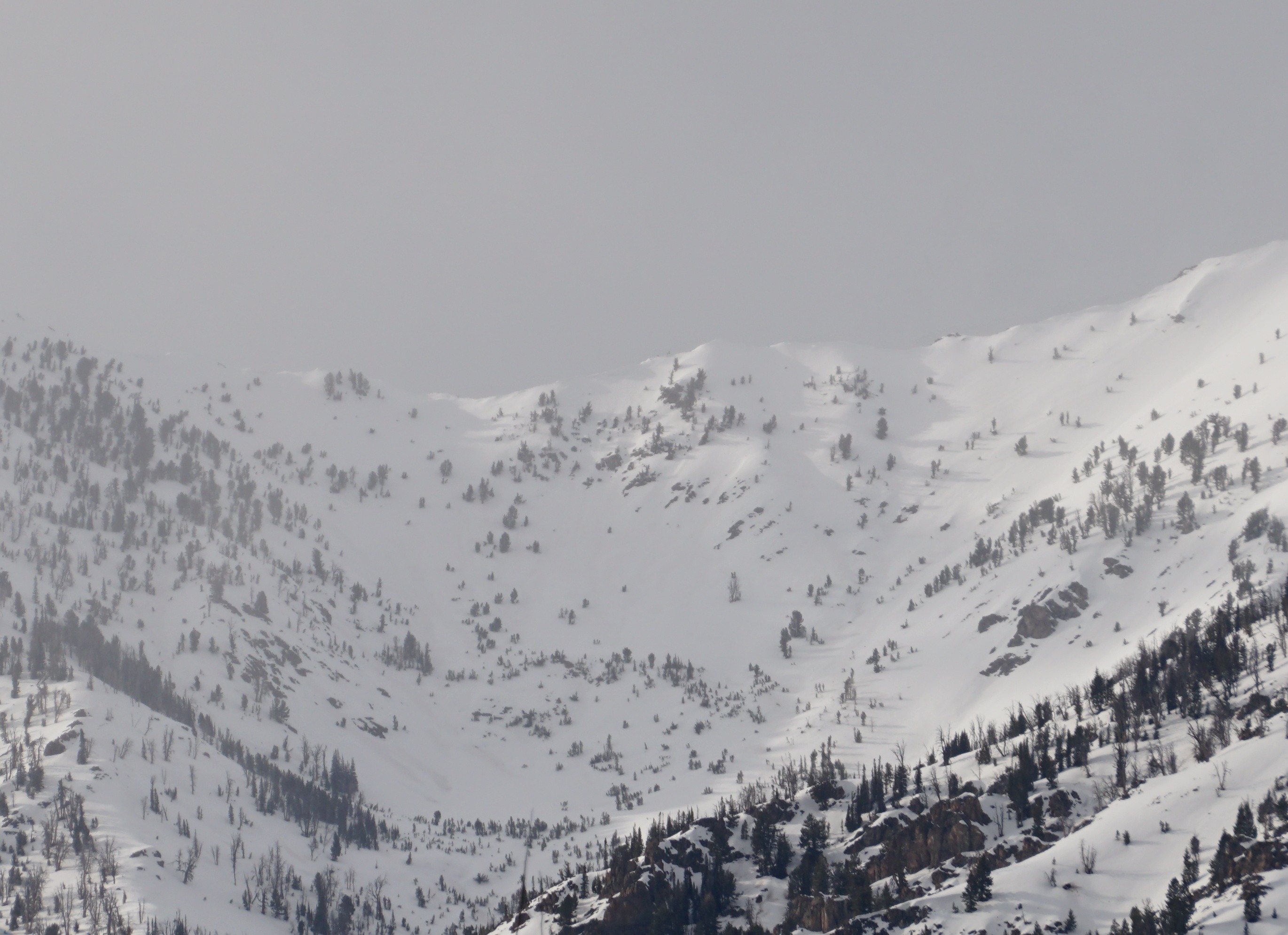
Obscured skies with low level clouds for much of the day around Galena Summit and N and W. Partial clearing while I was out from 5-7 PM, with PC skies throughout forecast area by 6:30PM. Gusty NW winds in the HWY75 corridor with MOD-STRONG NW wind still moving snow on Saviers Peak (Owl Ck, Smoky Mtns) at 6 PM (see photo below). Significant previous wind transport, but minimal to light active transport and small amounts of snow available for transport at 7 PM.
Avalanche
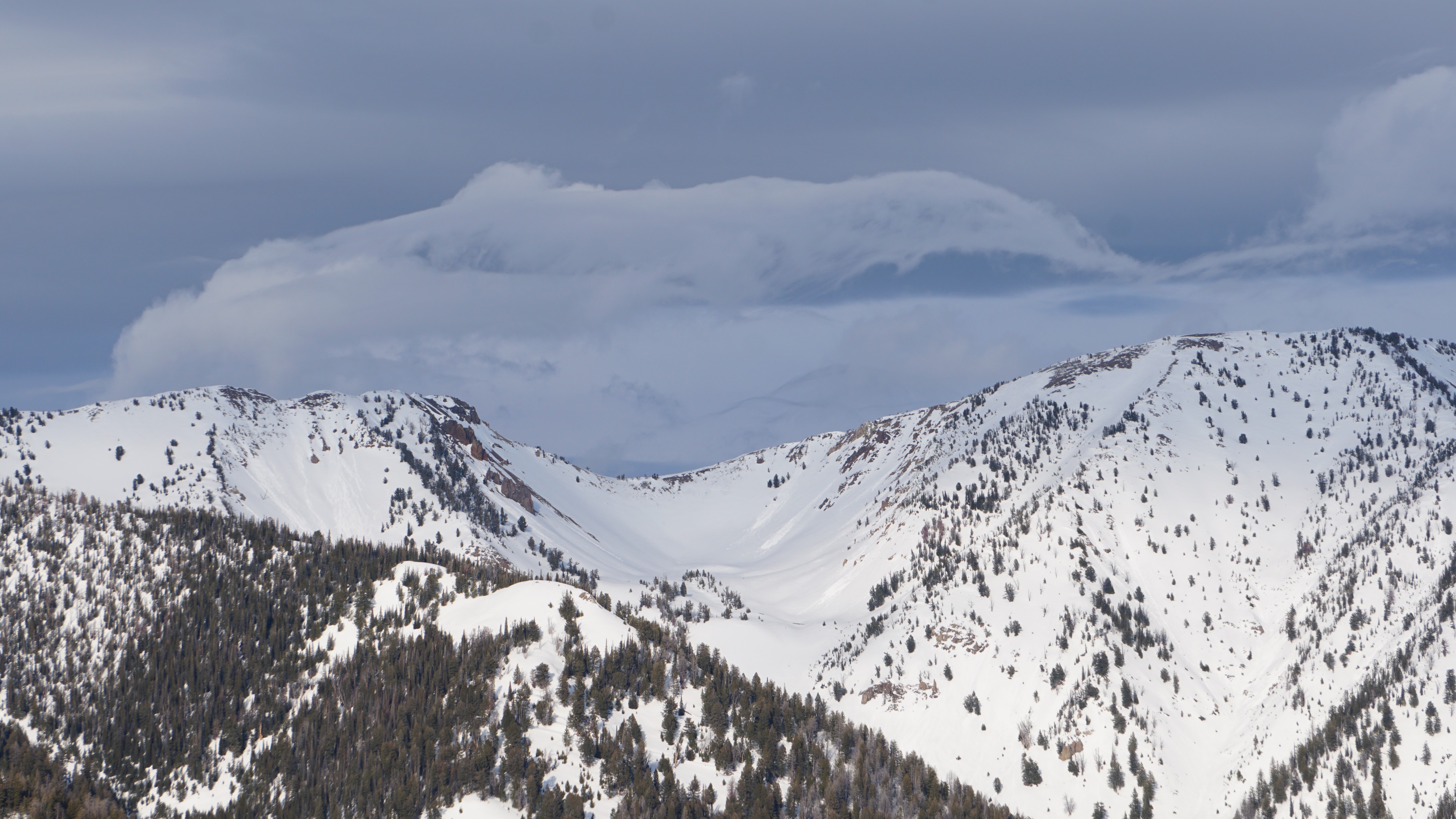
Several small (D1) wet loose avalanches originated in very steep, wind-sheltered alpine terrain on NW-W-SW aspects in the Boulder Mtns. The visibility/light was not great in the Smoky or Sawtooth Mtn around 6 PM while I was in the field, so I don't have much confidence in the lack of observed activity in those areas. .