
Quick report
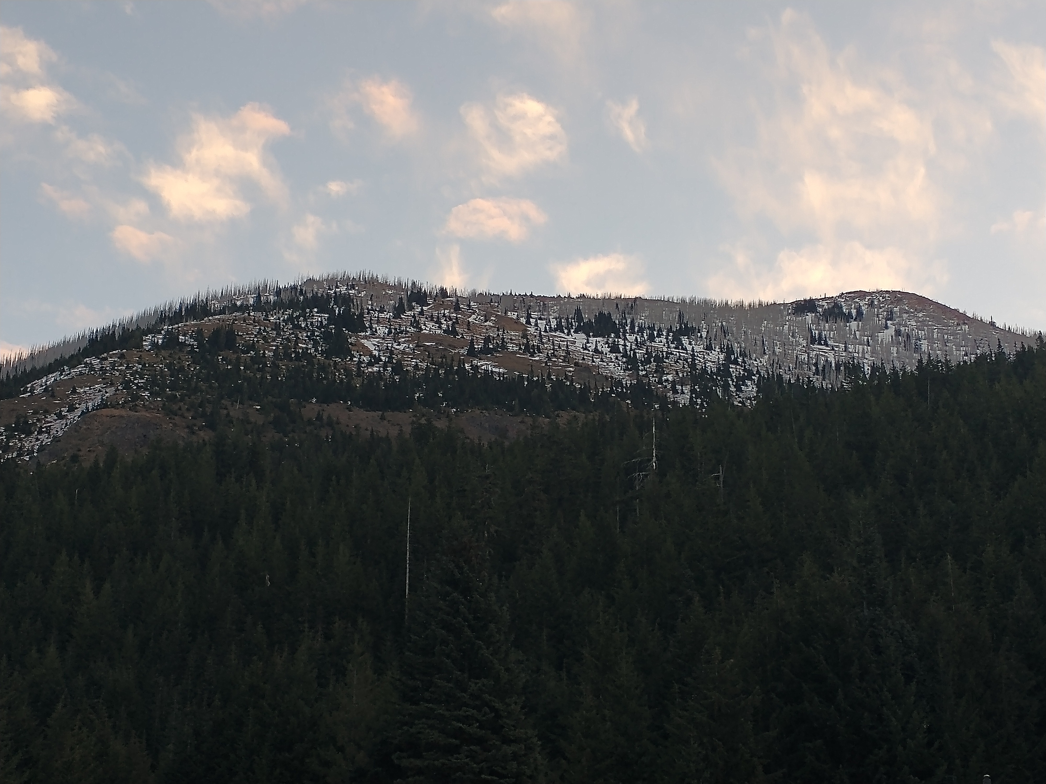
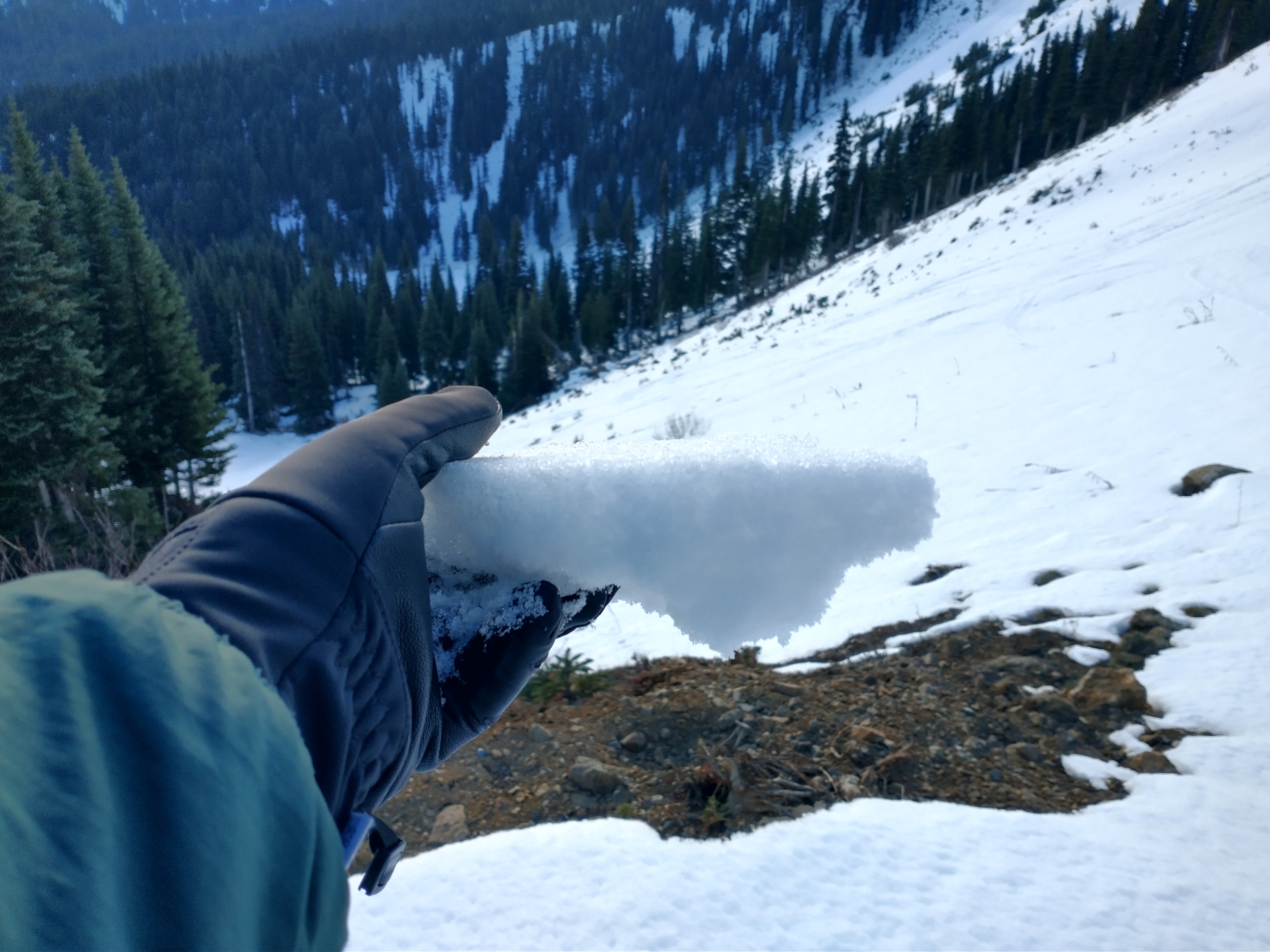
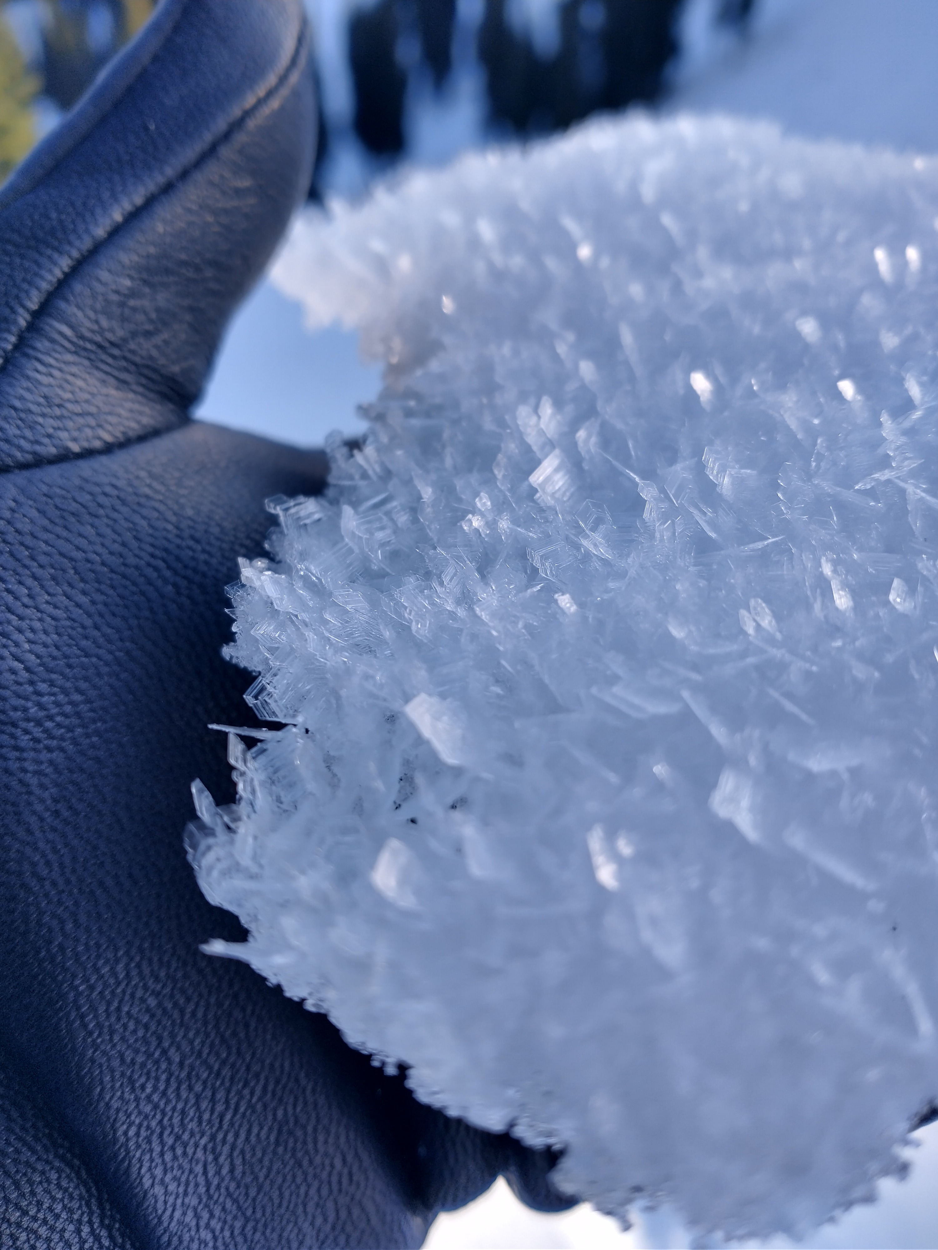
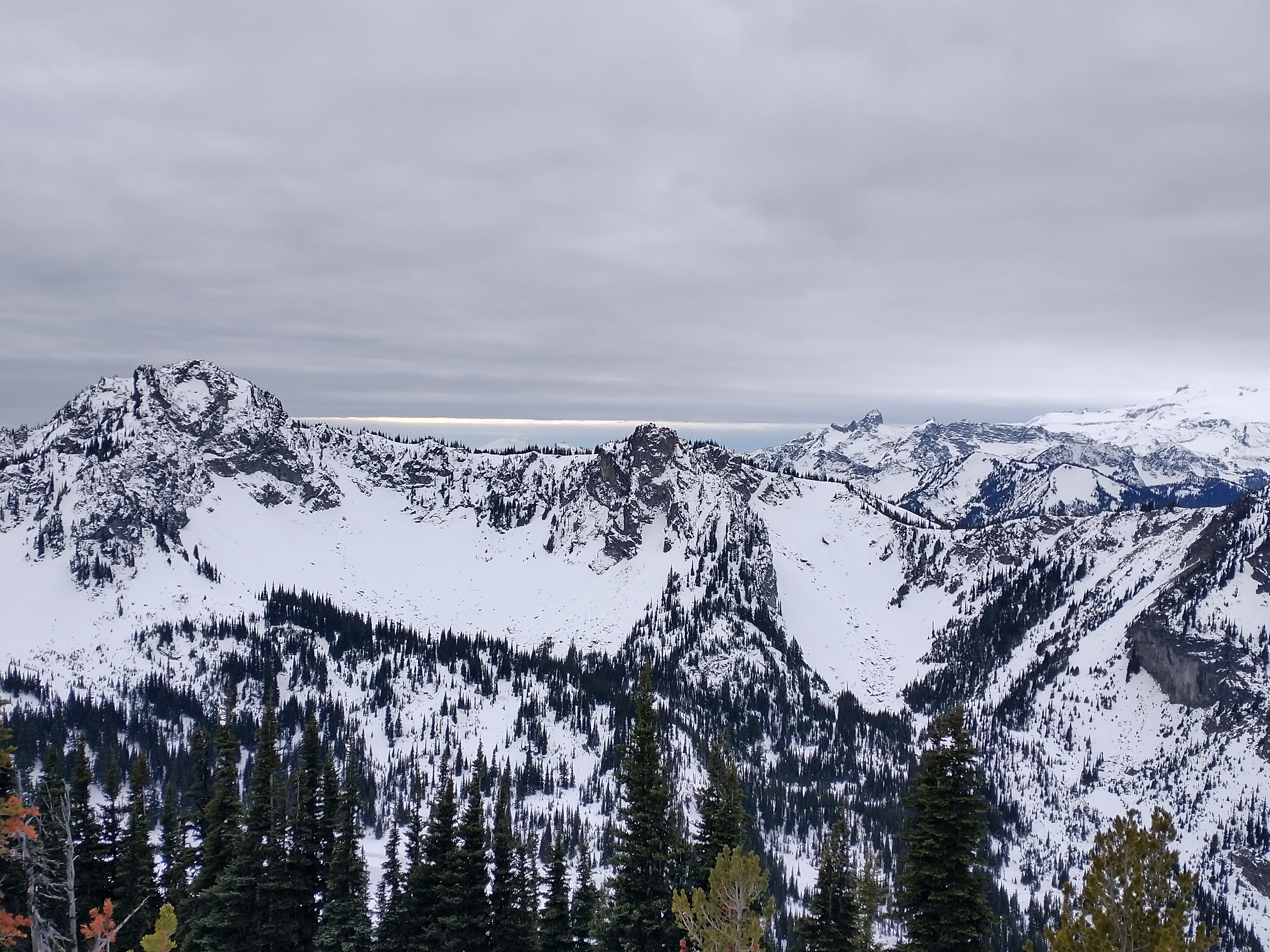
I had little to no avalanche concerns as I got the lay of the land ahead of forecast operations kicking off tomorrow. That said, the natural hazards and thin snowpack were more of a concern - open creeks, logs, rocks, and stumps abound this time of year. Although the snowpack is weaker than we would have hoped to kick off the season, it shouldn't be an issue until it gets loaded up this weekend. Unfortunately, the places most folks will likely be drawn to for recreation also appear to be the locations where weak snow exists and avalanche potential will be heightened moving forward. Near-surface facets on sun-protected slopes jingled and jangled as I made turns. They provided the only redeemable skiing today but were difficult to trust due to the generally low snow coverage.
Weather
- Cloud Cover
- overcast
- Wind Loading
- none
- Snow Avail For Transport
- none
Calm to almost non-existent wind with increasingly cloudy skies.
Snowpack
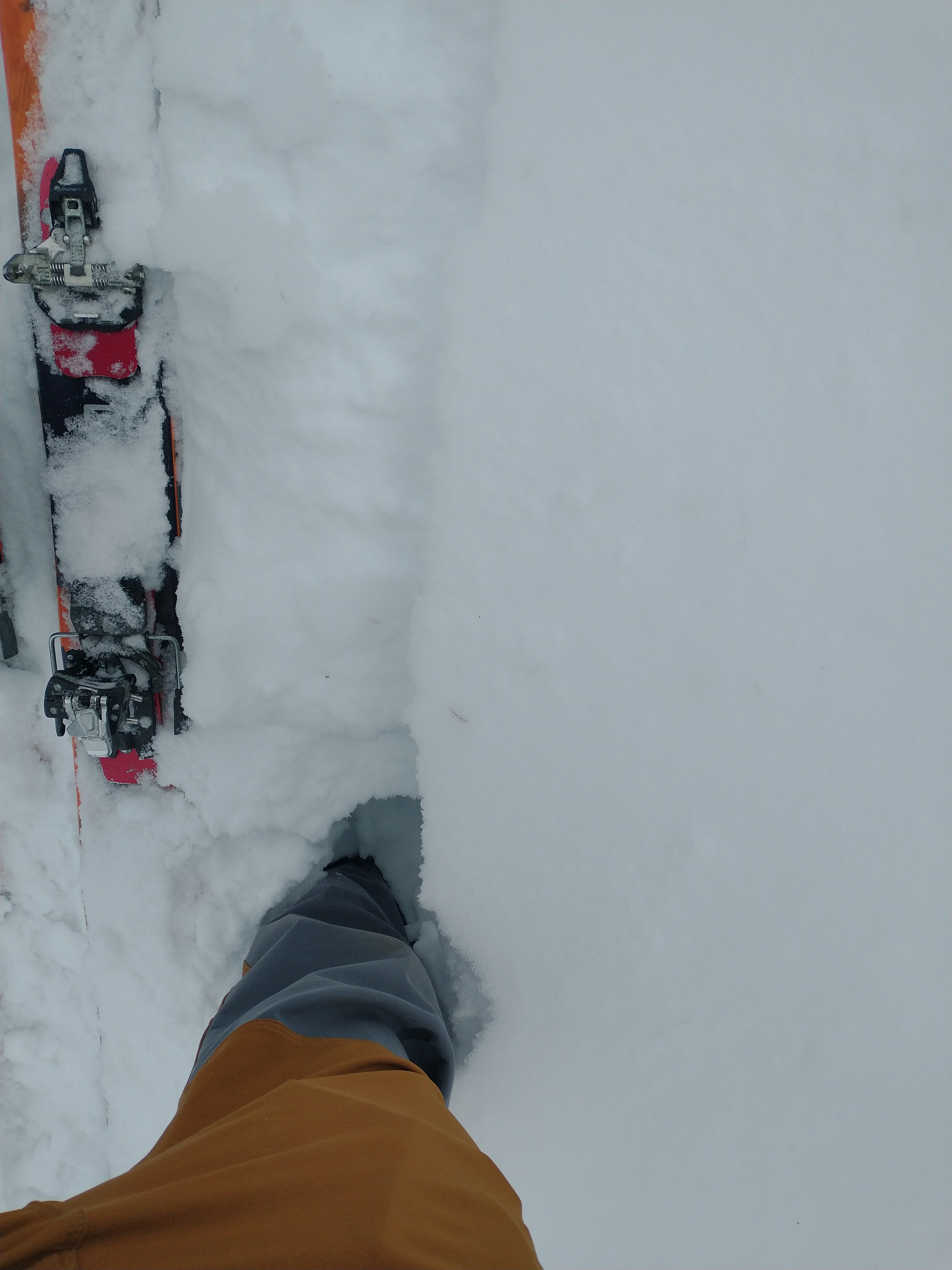
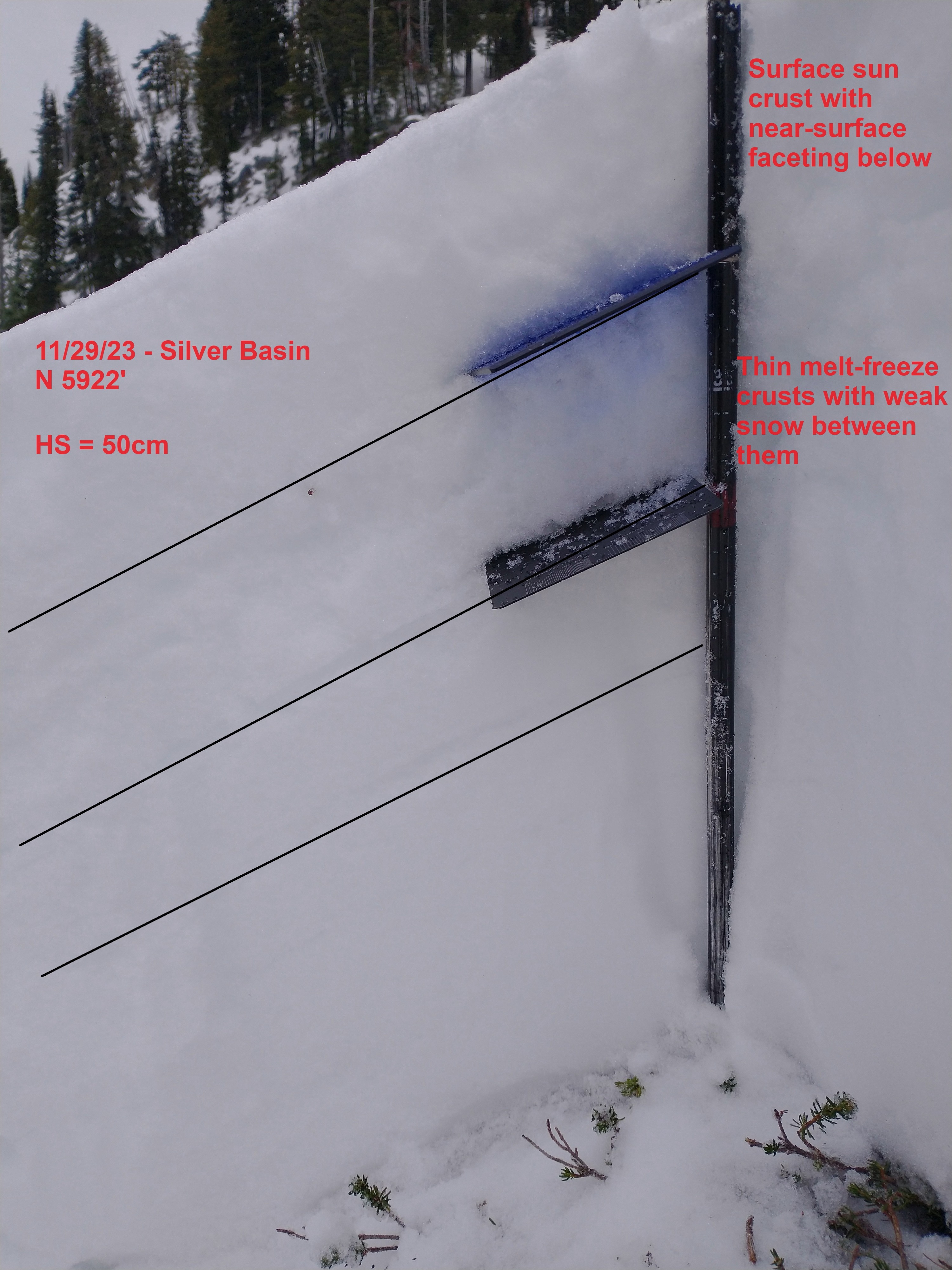
Snow depth is variable across aspects and elevations in the Crystal Mountain area. Also variable is the surface type with a mix of faceted snow on shaded slopes and sun crusts elsewhere. I found approximately 50-60cm of snow above roughly 5500'. The snowpack mostly consists of near-surface facets and thin melt-freeze crusts. Weak snow is developing near these crusts as well, creating a less than ideal early-season snowpack that's a bit atypical for the Pacific Northwest. Boot penetration was to ground in multiple locations. Well-developed surface hoar was found in the dark and damp areas of my day.