
Quick report
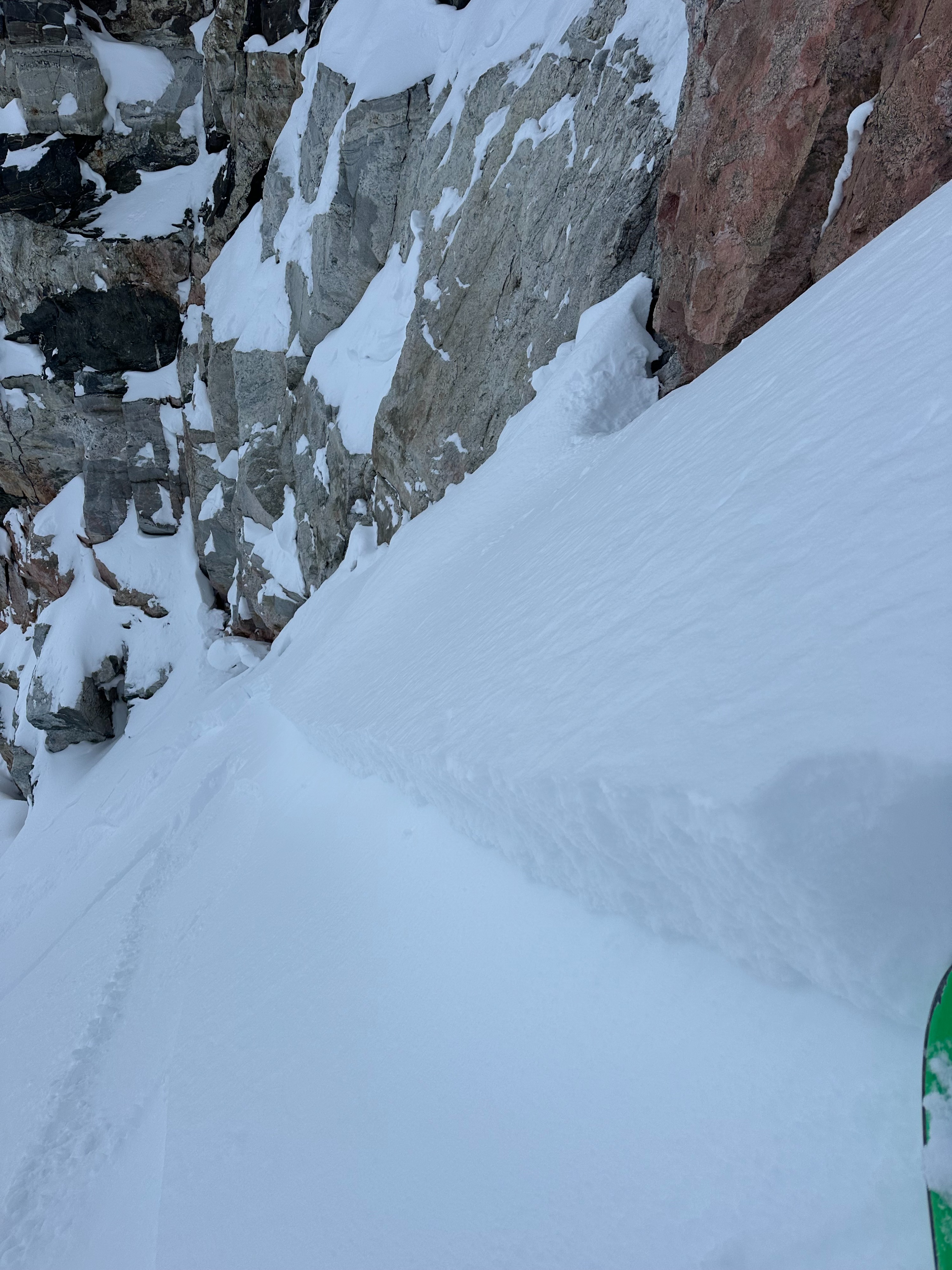
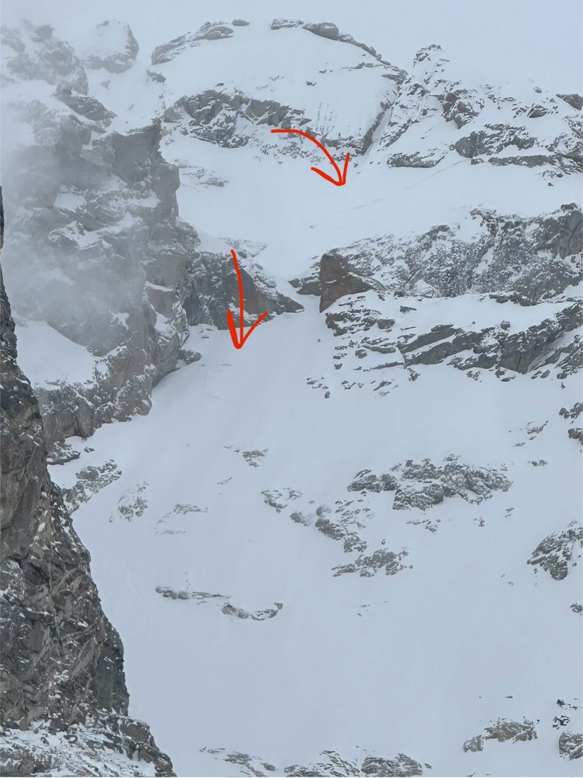
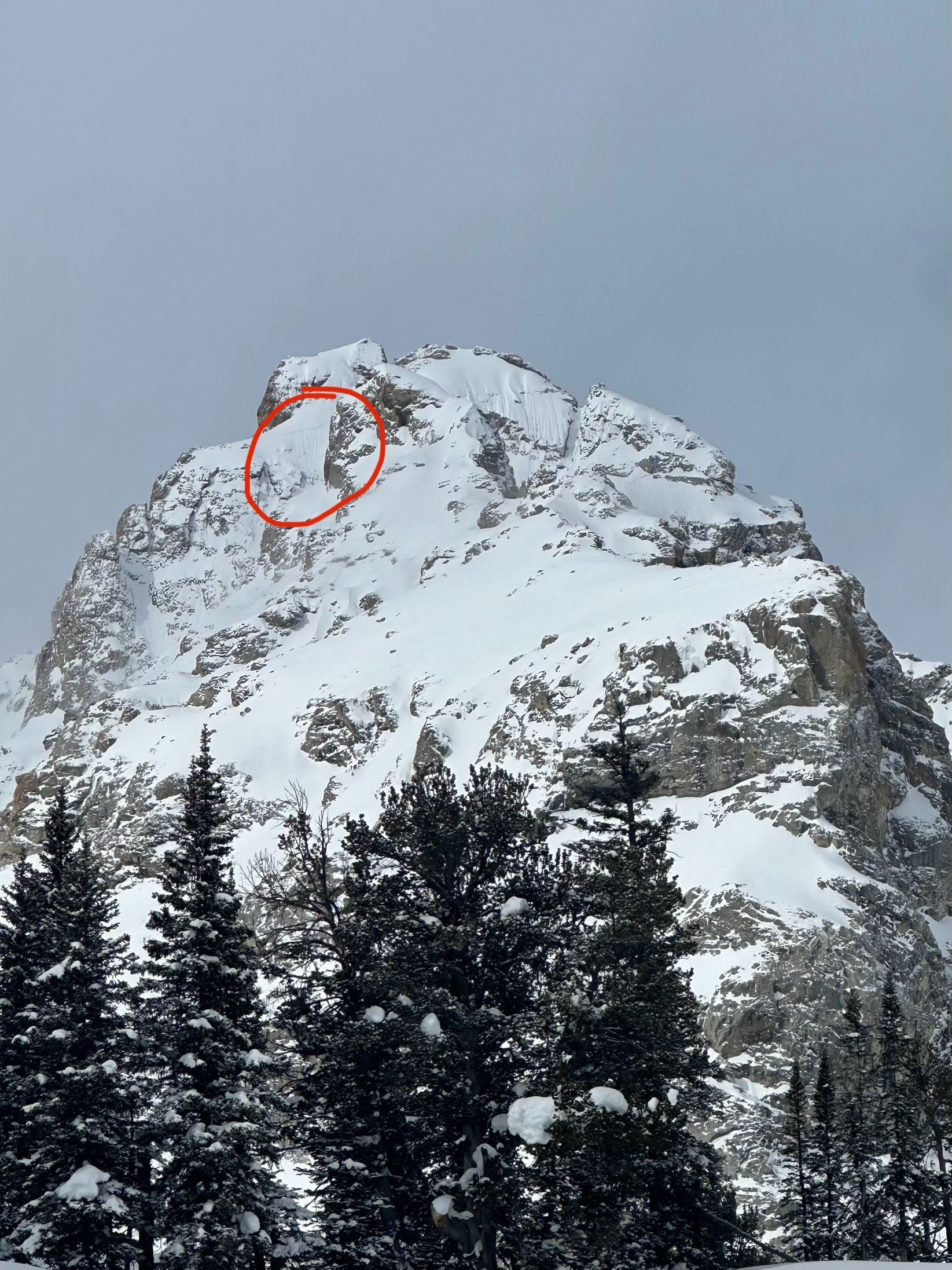
We triggered a small pocket of winded new snow on a north aspect of an apron around 1.5 feet deep and 20 feet wide. This is worth noting because pockets like this will grow in size and distribution with a few inches of snow overnight paired with consistent wind in the alpine. Plenty of snow was moving up high. We experienced very calm conditions up to ~10,000 feet, at which point there was a distinct change in the recent snow. Tomorrow is also expected to be overcast but slightly warmer than today. Hand pits revealed a weaker interface at the old snow/new snow, around 6" to 1 foot deep (depending on aspect and elevation), which likely won't last long but should be on your radar tomorrow. The top ~3 feet of the snowpack remains generally consolidated. I continue to probe for hardness changes and depths frequently; the size of a possible avalanche that could be triggered on deeper layers, though less likely, remains at the forefront of my mind while we're still just a few days out from large natural avalanche activity.
Some aspects still have shallow coverage, which is worth noting when choosing terrain.
Weather
- Air Temp
- 25
- Cloud Cover
- broken
- Wind Loading
- moderate
- Recent Snowfall
- 4-6"
- Snow Avail For Transport
- small smounts
The next wave of precip hit later than anticipated, ~ 3 inches and consistent 20mph winds.