
Quick report
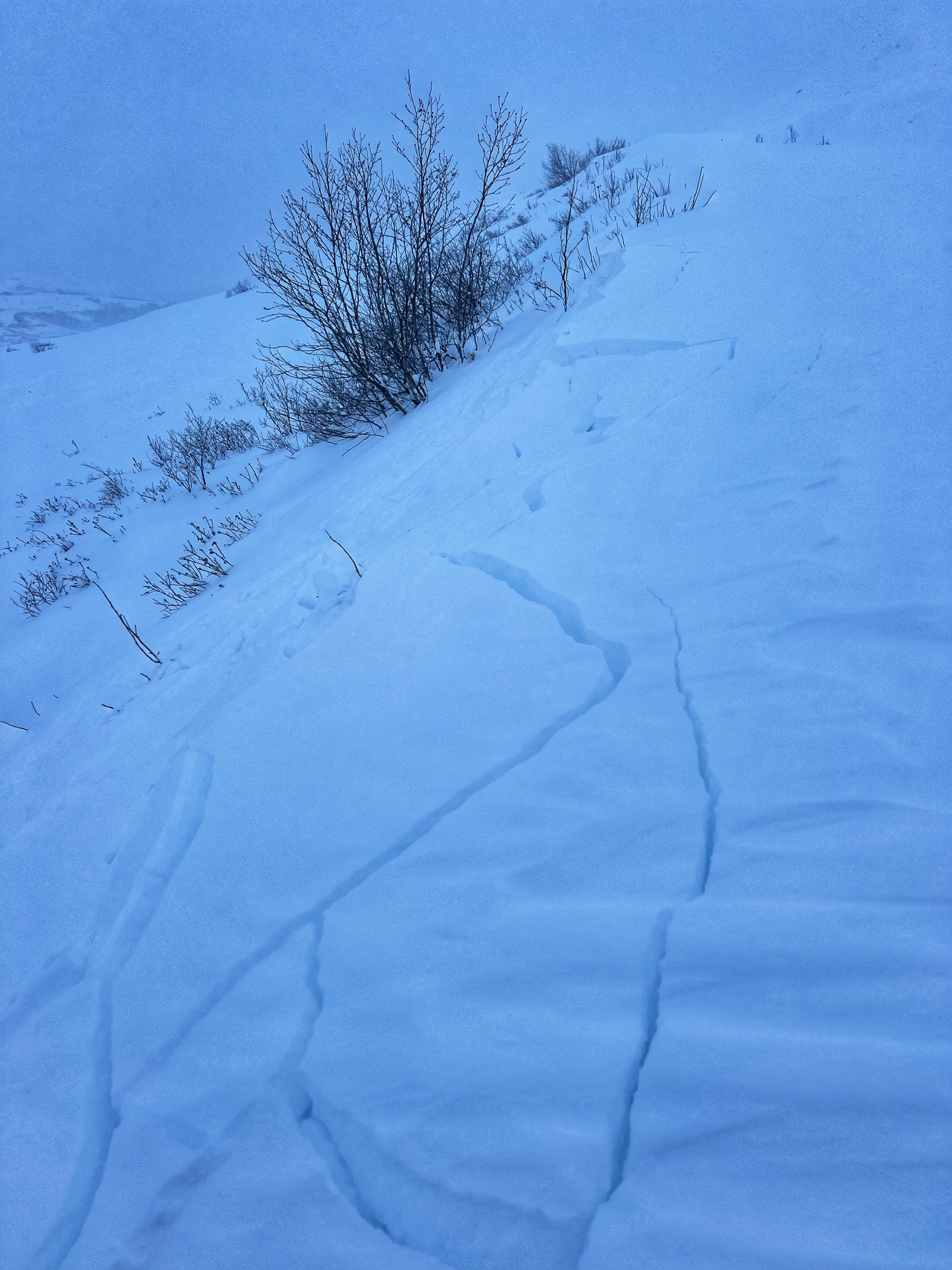
- Cracking
- isolated
- Collapsing
- isolated
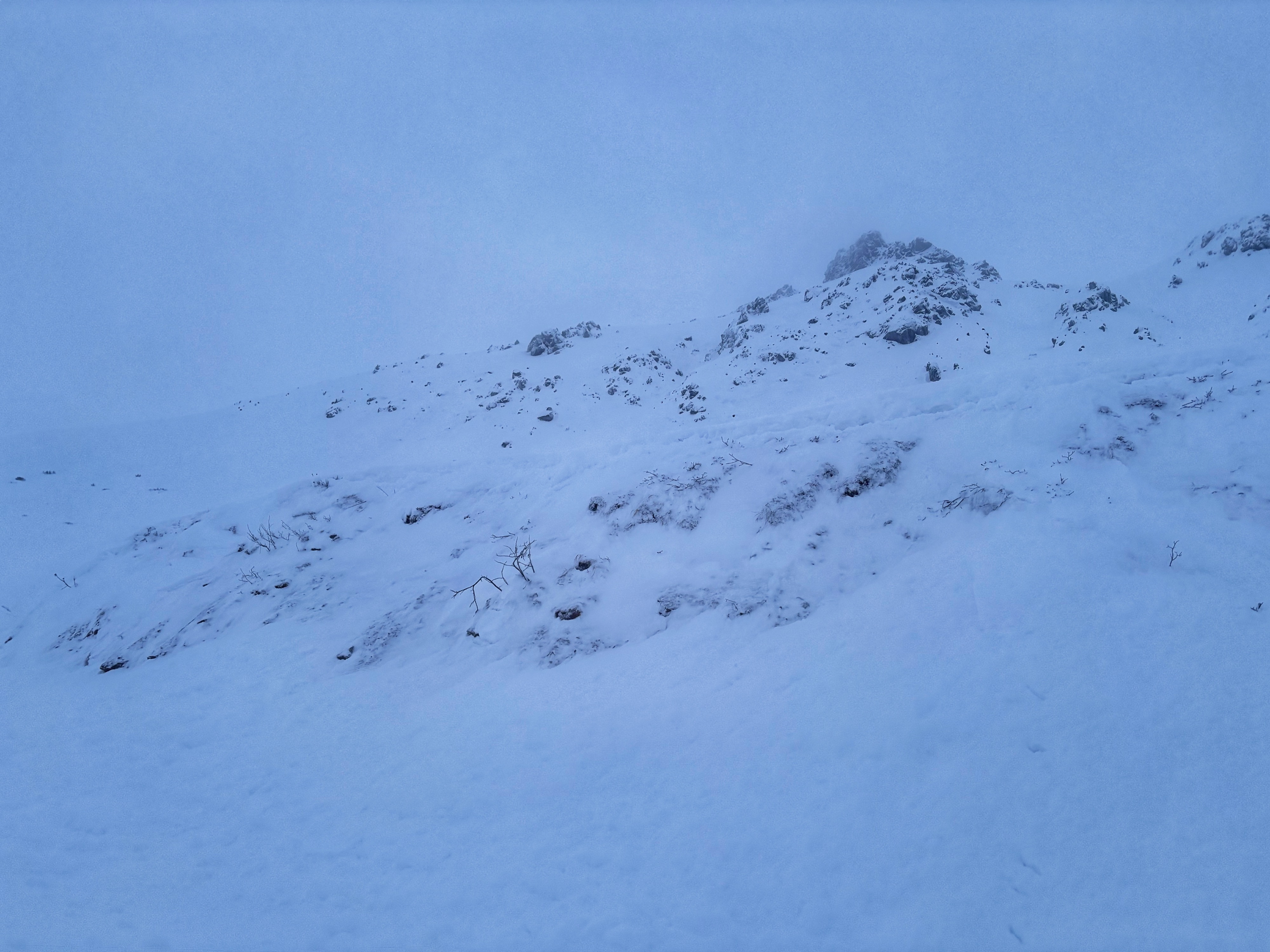
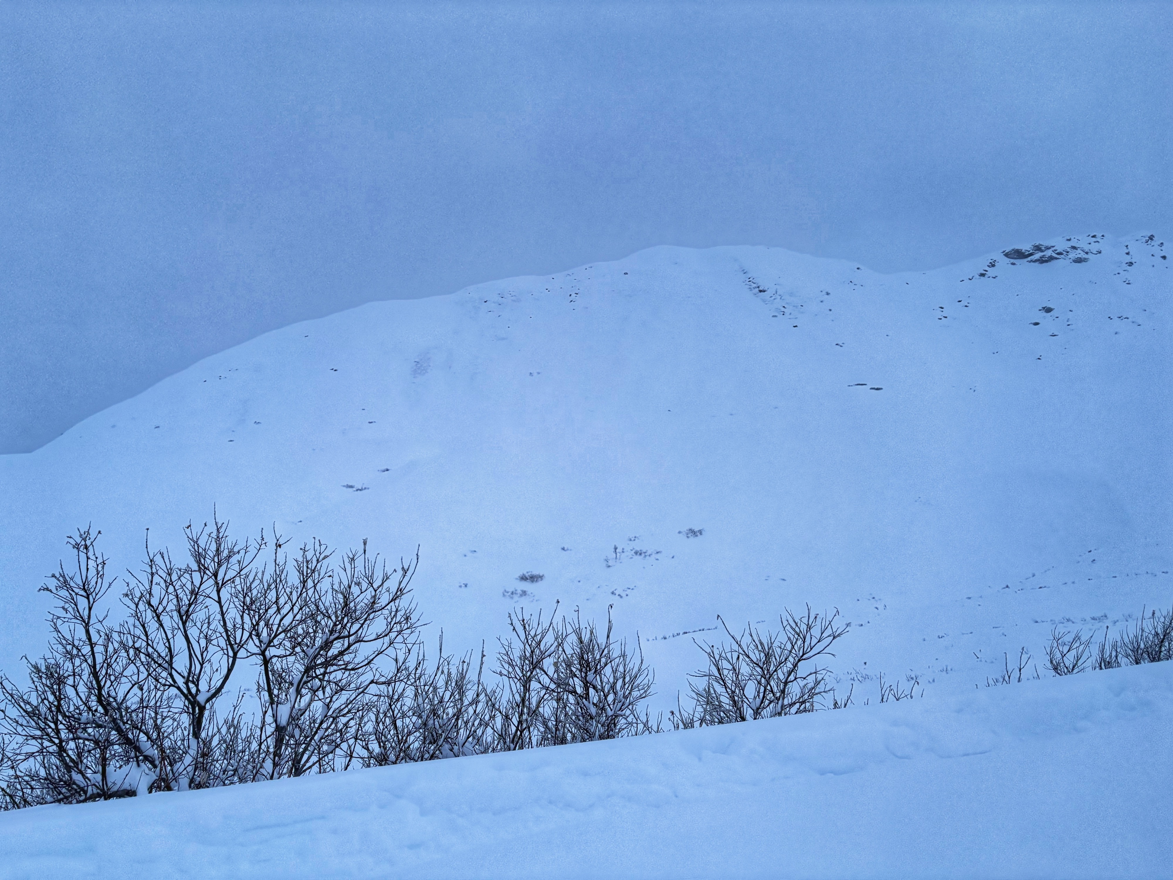
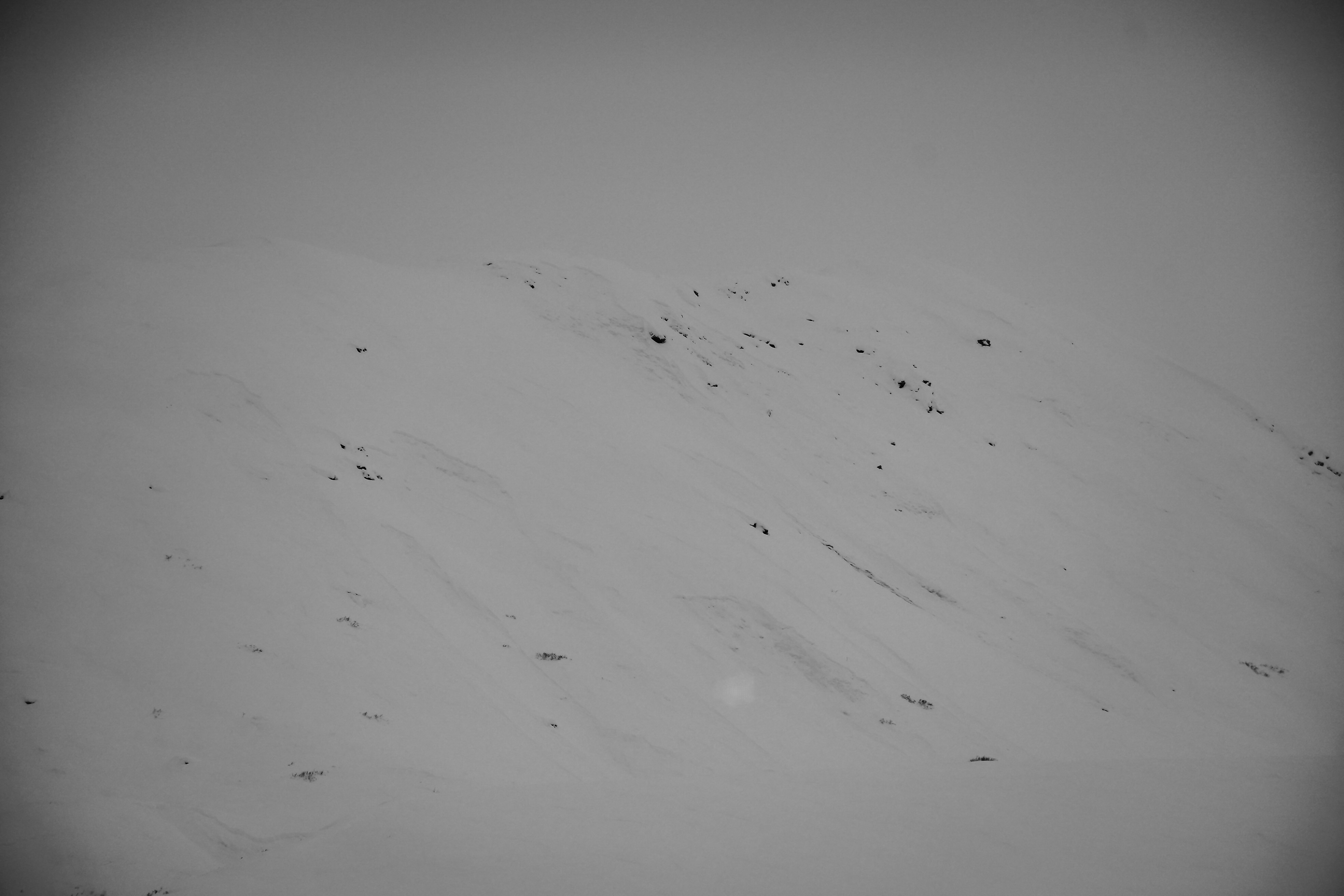
Our ascent began from Turner's Corner, where we stockpiled supplies and registered our intentions. We forded several frozen moats and fishtailed up the Fishhook with snow blowing over the hood of the truck. Visibility was limited, but improved at times, offering us glimpses of powder-laden slopes and recent natural avalanches. 24'' of snow fell in less than 48 hrs with limited SW wind effect. New snow was deep and incredibly light due to cold air aloft, with only 1.5-2'' of snow water equivalent. We followed an established skin track up to the pass, easily triggering small test slopes along the way. Essentially, loose snow and the softest of slabs were easily cracking under our skis, failing both within the new snow and on old faceted snow near the ground. Today's considerable hazard was obvious with numerous natural avalanches visible on the slopes of Marmot, Powder Pimple, Skyscraper, and along the flanks of Hatch. While none of the slides we observed appeared to be very long-running due to the rough summer surface they were failing on, I still found myself looking sceptically at the slopes of Skyscraper as we ascended the road below. Our descent was a welcome challenge, as we chose to avoid avalanche terrain, which meant sticking to low-angle slopes and trenching through the 2 feet of new snow. We bounced in and out of the skin track, filling our cups as we descended.
We observed numerous recent natural storm slab avalanches on upper elevation slopes. Test slopes were easy to trigger and behaved like loose-dry and nascent soft slabs.Weather
- Air Temp
- 0
- Cloud Cover
- obscured
- Wind Loading
- light
- Rain Elevation
- 0
- Recent Snowfall
- 60
- Snow Avail For Transport
- large amounts
24'' of new snow with obscured skies and consistent light to moderate snowfall, heavier at lower elevations. Winds were light out of the SW on the ascent and a touch stronger directly from the west in the venturi of the pass. Temperatures were cold, dropping from 2 to 0 throughout our stay.
Snowpack
In the majority of our forecast area, the snowpack now consists of this storm's snow. About 24'' of very light density wind broken and rimed stellars. New snow fell on a variety of surfaces, all thin, mostly faceted. Some old wind slabs were buried, but we did not encounter these on our travels.
Avalanche
Natural storm slabs were observed on numerous aspects at upper elevations.