
Quick report
- Cracking
- specific
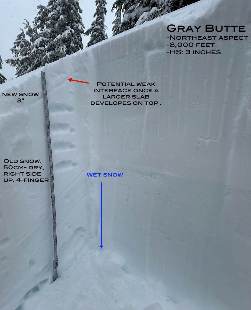
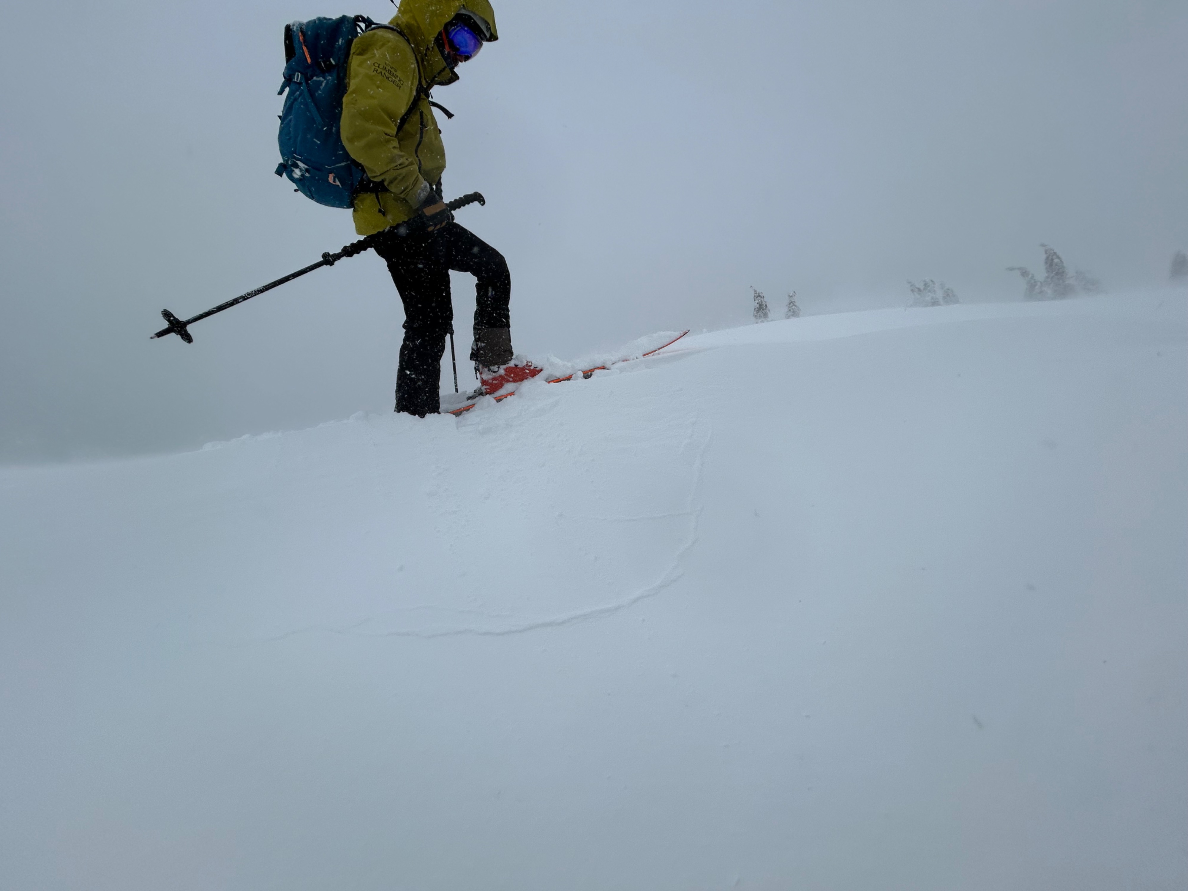
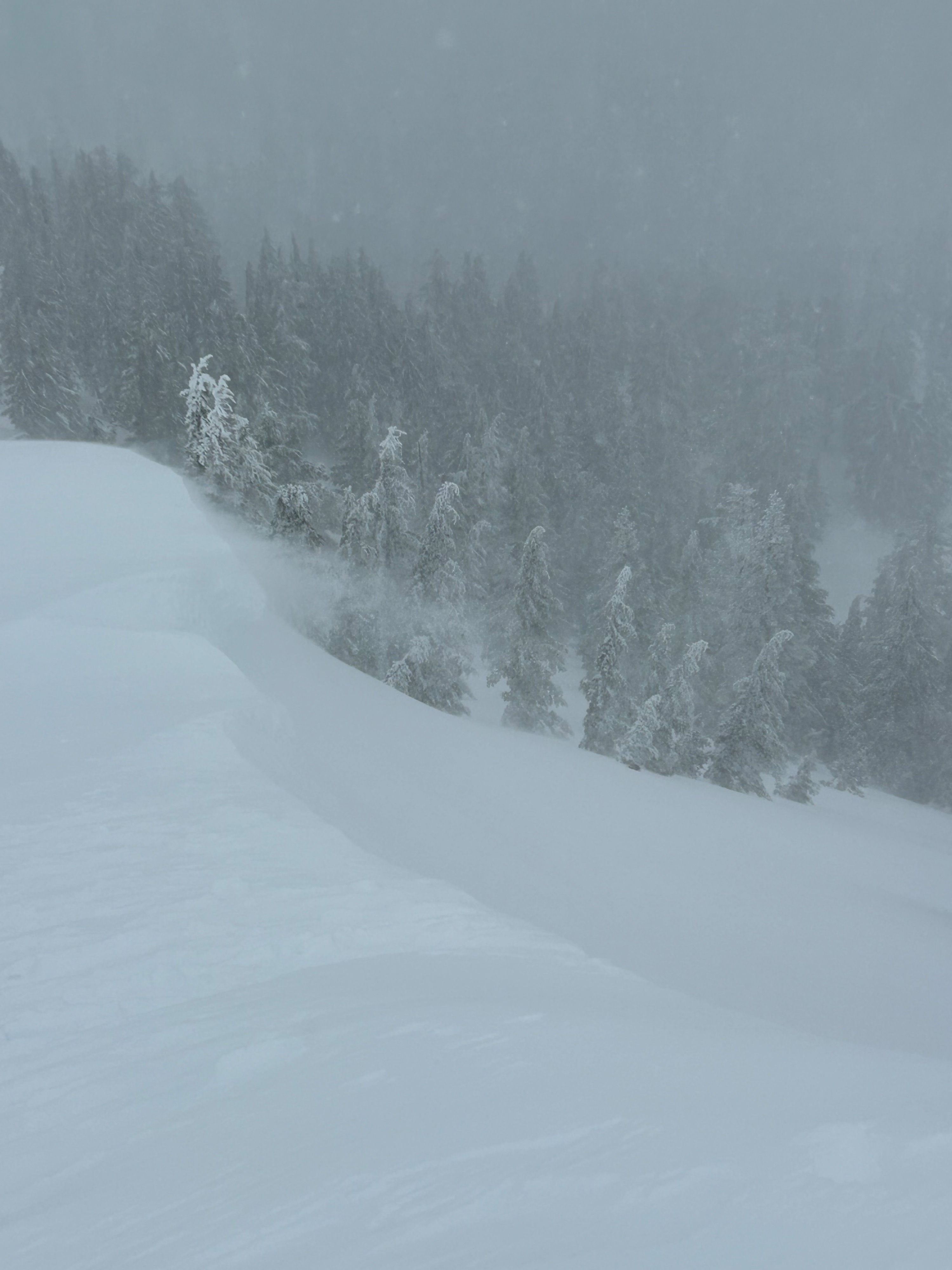
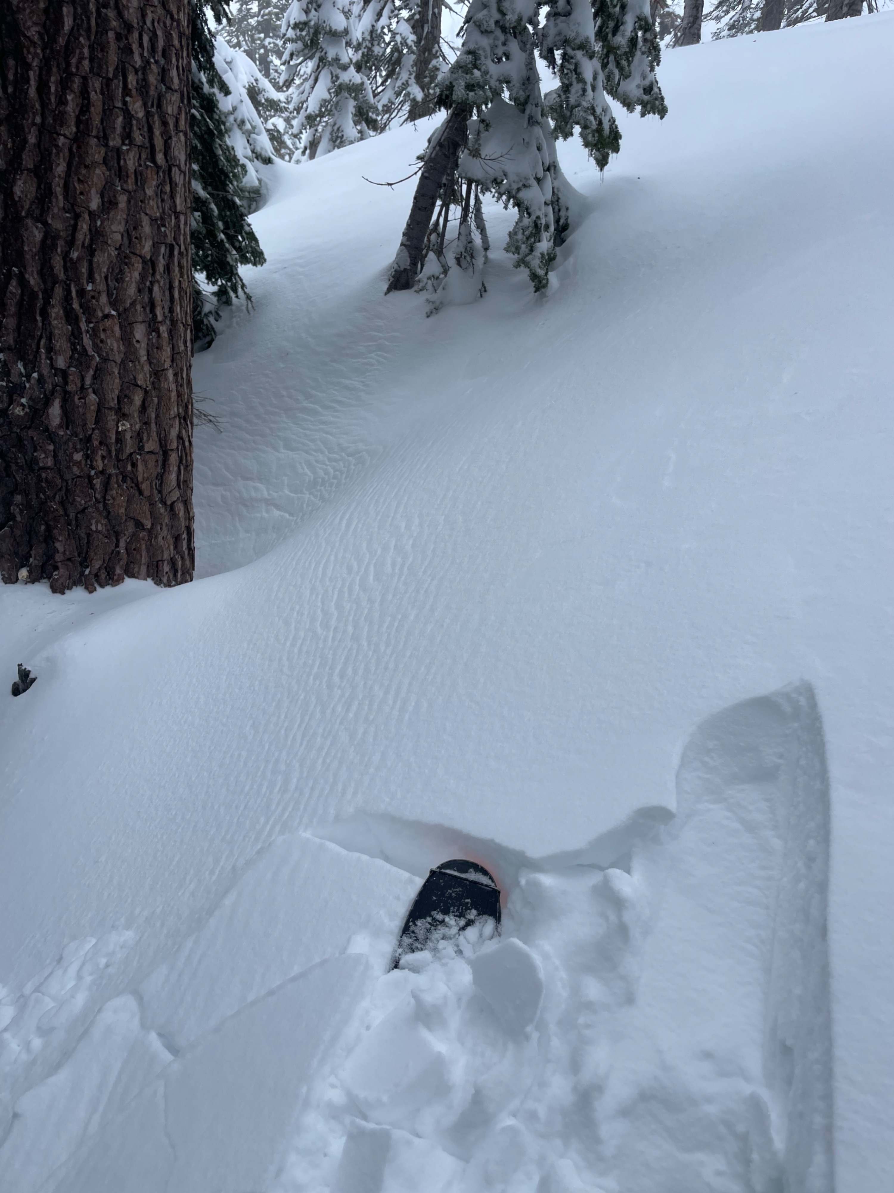
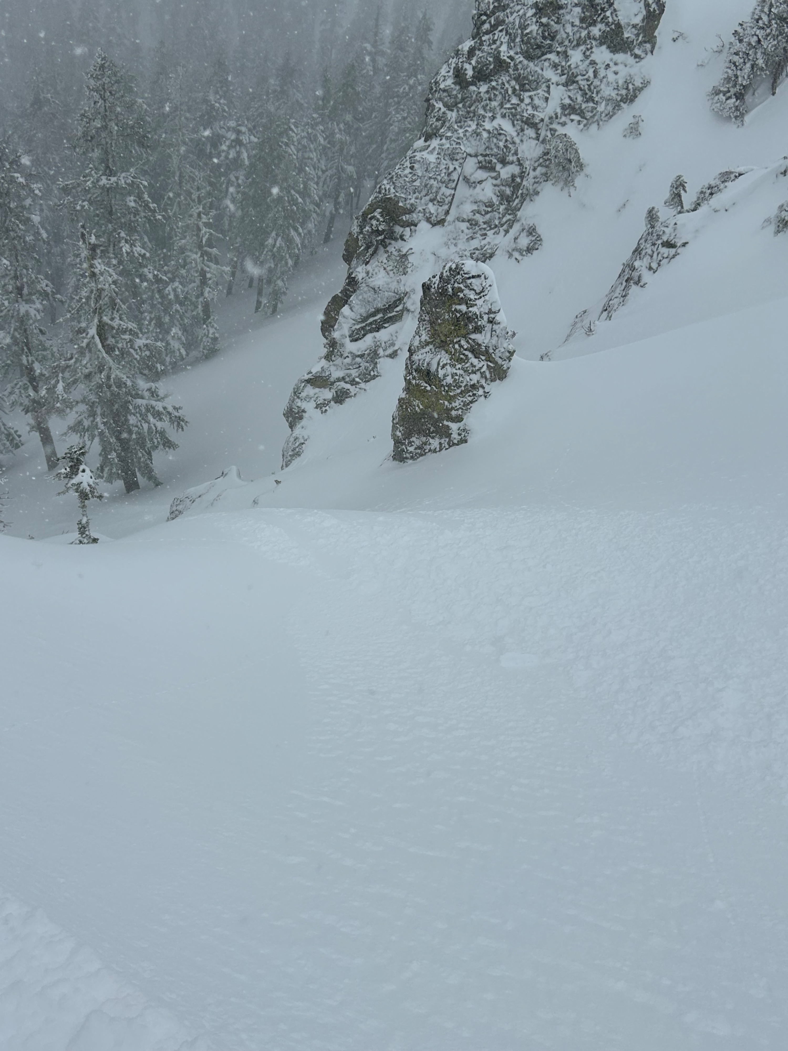
Stormy weather has returned, and avalanche danger is rising. Three inches of dry snow have fallen uniformly near treeline, with locally deeper amounts of six to ten inches in leeward locations and depressions. The dry snow made for easy wind loading on west, north, and east aspects at light to moderate rates. New drifts and wind lips formed quickly, displaying minor cracking and blocking. In sheltered areas, the snow displayed dry-loose properties. Snow transitioned to rain at 4,500 feet.
Minor cracking and blocking in wind drifts along ridge tops and roll-overs.Weather
- Air Temp
- 30
- Cloud Cover
- obscured
- Wind Loading
- moderate
- Rain Elevation
- 4,000
- Recent Snowfall
- 12
- Snow Avail For Transport
- large amounts
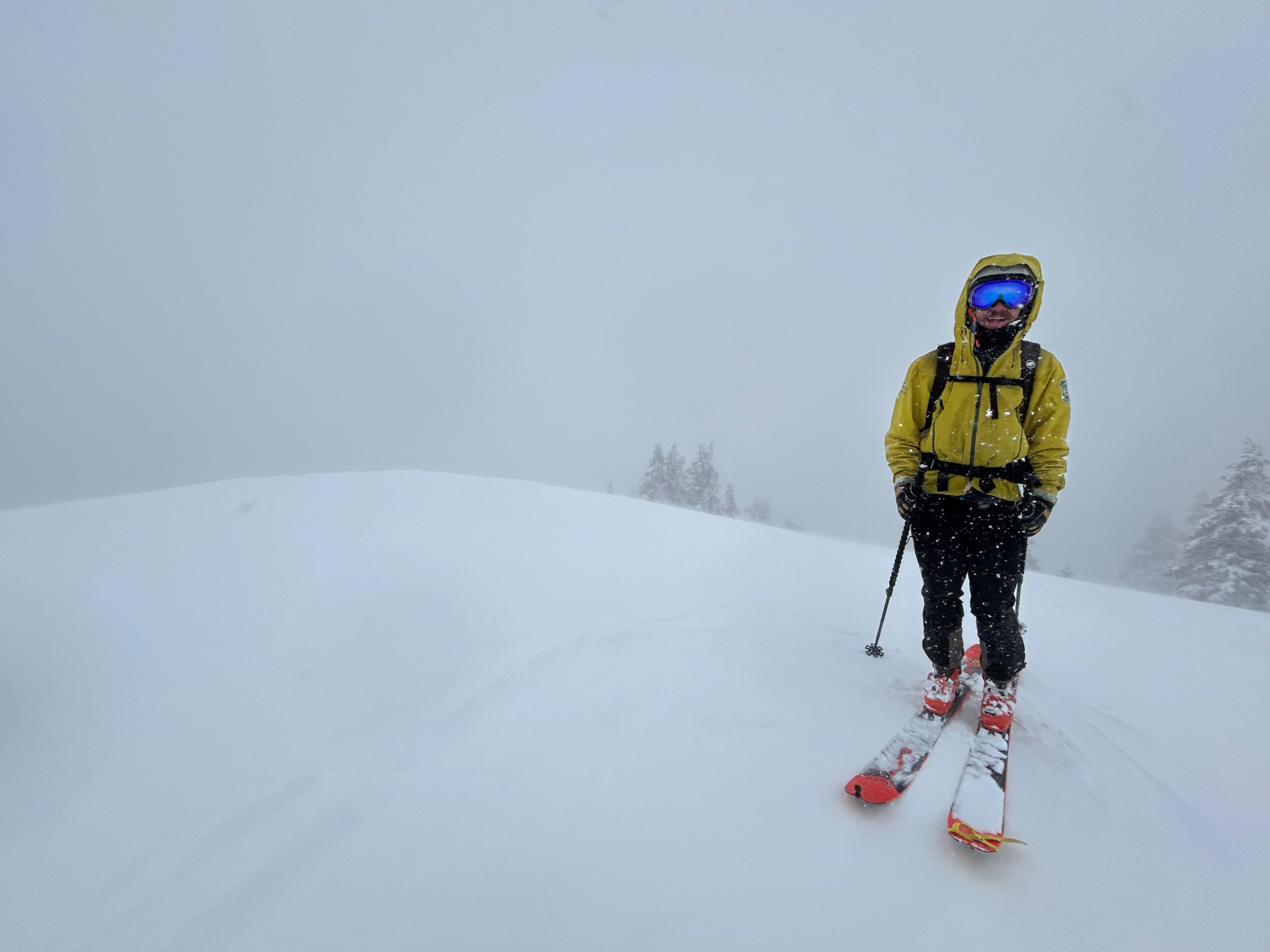
Storm day. Winds blew at moderate to strong speeds from the south, southeast, and southwest. Snow fell at a rate of S1-S2. The wind chill made the below freezing temperatures feel much colder. Rain fell below 4,500 feet.
Snowpack
Since the last spring warm-up, roughly 20 inches of new snow has fallen near treeline. Stability tests have shown no problematic layers within the recent snow, though this may change with the current storm. New snow has begun to bury the old snow surface. Observations found this new snow/old snow interface to vary in thickness and hardness across west, north, and east aspects. As snow accumulates and surface slabs develop, this interface could serve as a bed surface, or a weak layer for avalanches to fail on.